PNT Advisory Board March 2008 Arve Dimmen Director Maritime Safety Norwegian Coastal Administration.
13
PNT Advisory Board March 2008 Arve Dimmen Director Maritime Safety Norwegian Coastal Administration
Transcript of PNT Advisory Board March 2008 Arve Dimmen Director Maritime Safety Norwegian Coastal Administration.
PNT Advisory Board March 2008Arve Dimmen
Director Maritime SafetyNorwegian Coastal Administration

Content
• GPS event Feb 26 – PRN32– Implication for Maritime users
• “Global” SBAS – And the Arctic Challenge
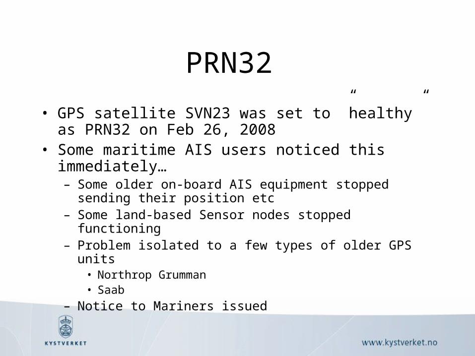
PRN32
• GPS satellite SVN23 was set to ”healthy” as PRN32 on Feb 26, 2008
• Some maritime AIS users noticed this immediately…– Some older on-board AIS equipment stopped sending their
position etc – Some land-based Sensor nodes stopped functioning– Problem isolated to a few types of older GPS units
• Northrop Grumman• Saab
– Notice to Mariners issued

Notice to Mariners
• BALTIC SEA NAV WARN 019
• DISTURBANCES TO THE OPERATION OF OLD GPS-EQUIPMENT HAVE BEEN REPORTED LATELY.
• THIS MAY CAUSE SHIPS AIS-TRANSPONDER TO TRANSMIT INCORRECT POSITION, COURSE AND SPEED.
• VESSELS MUST PAY ATTENTION TO THE FACTS THAT VTS AND OTHER SHORE BASED STATIONS MAY NOT RECOGNIZE, IDENTIFY AND TRACK AFFECTED VESSELS, BY MEANS OF AIS.
• THE REPORTED MALFUNCTIONS INCLUDE:
• - INCORRECT OR ABSENT POSITION FROM GPS-RECEIVER
• - AIS HAS DISPLAYED VESSELS IN INCORRECT POSITION AND/OR WITH WRONG CORSE AND SPEED.
• - SHIPS BEING ‘INVISIBLE’ TO AIS-RECEIVERS IN OTHER VESSELS AND FROM SHORE BASED
• STATIONS.
• VESSELS ARE REQUESTED TO HAVE THEIR AIS-EQUIPMENT CHECKED BY OTHER STATION.

USCG NAVCEN• http://www.navcen.uscg.gov/lnm/Saab_R3_AIS_prob.htm :
• REPORTED GPS/AIS USER EQUIPMENT PROBLEMS INVOLVING PRN32
• On February 27th, 2008 the GPS constellation increased to 32 satellites (PRN 32) thus providing a 5% increase in satellite availability and DOP (dilution of precision) world wide. It has come to our attention that some GPS equipment—particularly old equipment which is non-compliant with the GPS interface standard (IS-GPS-200)—cannot recognize this additional satellite and subsequently are unable to calculate a position (see listing below).
• All GPS users are advised to monitor the operation of their GPS equipment and equipment embedded with GPS, e.g. Automatic Identification Equipment (AIS) and to check with manufacturers for possible fixes/solutions to effected equipment. GPS and/or AIS problems should be reported to the USCG Navigation Center (NAVCEN) at www.navcen.uscg.gov or directly to the USCG Navigation Information Service at 1-703.313.5900.
• List of affected equipment:• SAAB R3 Class A AIS, see the SAAB website news bulletin • Northrop Grumman Sperry R3 Class A AIS • Northrop Grumman Sperry Navigation Heading Compass

Warning from IALA
Warning from IALA (The International Association of Lighthouse and Marine Aids to Navigation Authorities), March 17th:
• IALA has become aware of certain problems being caused by the GPS system within some AIS stations.
• The link below provides more information. • http://www.navcen.uscg.gov/lnm/
Saab_R3_AIS_prob.htm.• This is passed for your information and/or action, as
required.

GNSS Integrity
• Regional SBAS systems– WAAS, EGNOS, MSAS, GAGAN, …
• Global coverage desired

ENVISAT

Arctic challenges SBAS
• Challenge 1: Data Generation• Good GPS coverage
– Good geometry for horizontal accuracy• Scarcely distributed Reference stations
– Poor integrity• Two strategies:
– Increase the number of reference stations• Svalbard, Greenland, Canada, Alaska, Siberia
– ”Interchangeability” between WAAS, EGNOS and other reference station networks

EGNOS
• Coverage increased in the North– Two new reference stations implemented
• Svalbard 78°15´N 15°80´E • Jan Mayen 70°60´N 8°28´W
– Operation Qualifications review by the end of 2008

Arctic challenges SBAS
• Challenge 2: Data Distribution• SBAS is distributed through Geostationary
satellites– Coverage limit at approx 75 degrees North– A few Molniya-orbit satellites would overcome this
• And could be used to improve vertical accuracy at high latitudes as well…

• And by the way:
• The number of satellites isimportant –Terrain masking may occur when navigating the Norwegian waters…