Photo courtesy of E. Bordet, MDRU Geoscience BC: Data for ...mineralsnorth.ca/files/GEOSCIENCE BC -...
22
Geoscience BC: Data for Discovery Recent Activities and Plans for 2011 - Minerals North, Stewart BC Photo courtesy of E. Bordet, MDRU
Transcript of Photo courtesy of E. Bordet, MDRU Geoscience BC: Data for ...mineralsnorth.ca/files/GEOSCIENCE BC -...

Geoscience BC: Data for Discovery
Recent Activities and Plans for 2011
- Minerals North, Stewart BC
Photo courtesy of E. Bordet, MDRU
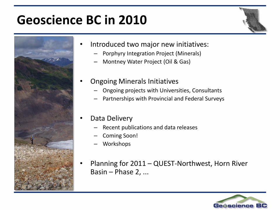
• Introduced two major new initiatives:– Porphyry Integration Project (Minerals)
– Montney Water Project (Oil & Gas)
• Ongoing Minerals Initiatives– Ongoing projects with Universities, Consultants
– Partnerships with Provincial and Federal Surveys
• Data Delivery– Recent publications and data releases
– Coming Soon!
– Workshops
• Planning for 2011 – QUEST-Northwest, Horn River Basin – Phase 2, ...
Geoscience BC in 2010

Porphyry Integration Project
Highland Valley
Red ChrisSchaft Creek
Galore CreekDuckling Creek (Lorraine)
Mount Milligan
Endako
Mount Polley
Gibraltar
Babine
Huckleberry
Iron Mask
Copper Mountain
Kemess
5 km
District-scale exploration data set compilations and interpretation
Project launched in fall 2010
Mount Polley District

Project Team & Partners
• Dave Heberlein (geochemistry module)• Peter Kowalczyk (geophysics module)• Fionnuala Devine (geology module)• Ward Kilby (data integration)
• Dianne Mitchinson
• Fred Blaine
• Thomas Bissig
Industry
Partners

Creating interactive exploration maps
• Creating an interactive map system similar to Map Place
• Bringing together multiple public data sets – e.g.. ARIS, government geophysical surveys
• NEW digital files for historic geochemical surveys
• NEW Company contributions of previously un-released Company exploration files
Map Place: Thematic map of the Mount Polley geophysical survey

Ongoing Minerals Initiatives
GBC continues to partner with consultants, universities and government surveys to support projects throughout BC.
Ongoing Geochemical Projects Include:
• Geochemical Models for Porphyry Deposits (F. Blaine, MDRU)– Purpose of this study is to compile available data from
assessment reports and government sources to develop deposit type- and environment-specific exploration models
– Final Products:
• Comprehensive province-wide database of exploration geochemistry data for BC Porphyry deposits
• Specific representative case histories

Ongoing Minerals Initiatives
• Archive Update Project (W. Jackaman)– Co-operative effort between NRCan, BCGS & GBC
– Drainage sediment material collected during RGS programs are saved and stored at facilities in Ottawa and Victoria
– Value of this collection is estimated at more than $10 million and access to the material has supported valuable reanalysis initiatives
– As the collection ages, it has become fractured and existing storage containers have weakened
– Goal: to repackage archived geochemical samples and amalgamate into one collection in Ottawa.
– Progress: 20,000 samples transferred to Ottawa archives to date

Ongoing Minerals Initiatives
Ongoing Rock Properties Projects Include:
• Integrated Geophysical & Geological Porphyry Models– D. Mitchinson (MDRU)
– Goal: add value to existing geophysical data collected over Geoscience BC’s QUEST and QUEST-West areas
– aims to gain a better understanding of relationships between geology and physical properties in order to better interpret geophysical data and models from porphyry-hosting geologic terranes in central BC
– Knowledge of physical property distributions is key to constraining geophysical inversion models, choosing geophysical exploration methods and designing surveys
– Mount Milligan, Endako, Huckleberry, Bell, Granisle, and Morrison
– Final project results expected later this spring

Ongoing Minerals Initiatives
Mapping / Mineral Deposit Studies Include:
• “Geochemistry, Volcanology and Physical Properties of Late Triassic Nicola Arc “– T. Bissig & S. Vaca, MDRU
– Goal: identify the relationship between alkalic porphyry mineralization and the basaltic hostrocks in southern BC
• “Implications for Geology, Metallogeny and Mineral Potential of the Basement of Quesnellia in southern BC “– J. Mortensen and K. Lucas, MDRU
– main goals of the study are:
1. to evaluate the current subdivision of lithotectonic assemblages in the Keremeos-Osoyoos area;
2. to determine the ages of the various assemblages; and
3. to assess the structural and possible stratigraphic relationships between the various assemblages

Ongoing Minerals Initiatives
• “Defining the Upper Parts of an Alkalic Porphyry Cu-Au Deposit: Red Chris” – J. Norris & C. Hart, MDRU
– Focused on increasing understanding of the magmatic evolution, mineralization styles and alteration of the deposit
• “Carbonate Alteration an an Indicator of Proximity to Eskay-Creek Type Deposits” – T. Meuzelaar & T. Monecke, Colorado School of Mines
– aims to characterize geochemical trends within the ore-hosting carbonaceous mudstone at Eskay
• “Characterization of Carbonate-Hosted Nonsulfide Zn-Pb Mineralization in southern BC”– Partnership with S. Paradis (NRCan) and G. Simandl (BCGS)
– Examining deposits in the Salmo and Quesnel Lake regions

Ongoing Minerals Initiatives
Quaternary Geology Projects Include:
• Till Geochemistry of the Tahtsa Lake District North and Adjacent Areas– Led by T. Ferbey (BCGS) with support for analytical work from GBC– Focused on the Colleymount Map Area (93L/1) last summer– Open File recently released
• “Glacial Geologic Framework for a Portion of the QUEST Project Area”– Led by B. Ward & D. Sacco (SFU)– Relative Drift Thickness Map released last fall (parts of NTS 93G, H, J)– Project scheduled for completion this fall
• “Surficial Geochemistry & Lithology of the Bulkley River Valley”– Led by A. Stumpf (University of Illinois), ongoing

Data Delivery – Recent Publications
• GBC Report 2011-2: Northern BC Sample Reanalysis Project– Reanalysis of 7651 drainage sediment
samples in NTS 094C, D, E, L, M & 104B, G, I, O, P
– Includes Stewart, Toodoggone and Cassiar mining camps
– compilation of original and new data
• GBC Report 2011-3: Application of Surface Organic Materials as Sample Media over Deeply Buried Mineralization at the Kwanika Central Zone– investigates the use of Ah horizon by comparing
sampling results with other organic materials, namely vegetation and charcoal.

Data Delivery – Recent Publications
• Summary of Activities 2010 volume– 25 technical reports from from current
Geoscience BC initiatives (mineral and oil & gas)
• Explorer Magazine (Annual Report)– Brief updates on GBC projects
– Information on other GBC activities, including workshops and scholarships
• Both volumes are available for download from our website. Limited print copies are also available.
• Roundup Posters from most projects also on website.

Data Delivery – Recent Releases
• March 16: W. Jackaman et al, - Vancouver Island Data Reanalysis Project– Geoscience BC report Report 2011-4
– reanalysis of 300+ archived moss-mat sediment pulps
– 53 element ICP-MS provides a significant upgrade from the original AAS method particularly for base metal determinations
– determination of platinum and palladium will support a growing interest in PGE targets
• April 5: A. Hickin et al – Montney Water Project, Northeast BC– Geoscience BC Report 2011-7 and BC Ministry
of Energy and Mines, Energy Open File 2011-1 "Preliminary bedrock topography and drift thickness of the Montney Play area“
– Geoscience BC Map 2011-08-1 and BC Ministry of Energy and Mines, Energy Open File 2011-2 "Compilation of Geological Survey of Canada surficial geology maps for NTS 94A and 93P"

Data Delivery – More Recent Releases
April 18, 2011: Geoscience BC Releases Reports 2011-5 and 2011-9
• Report 2011-5 "Catchment analysis and interpretation of stream sediment data from QUEST-South, British Columbia" by D.C. Arne and E.B. Bluemel of ioGlobal Solutions Inc., and
• Report 2011-9 "Till geochemistry of the Colleymount map area (093L/01), west-central British Columbia" by T. Ferbey of the BC Geological Survey.
• Both reports are available for download through Geoscience BC's website at www.geosciencebc.com/s/DataReleases.asp.

Data Delivery – Coming Soon in 2011
• T. Bissig, J. Logan, D. Heberlein, and F. Ma, GBC Report 2011-06 "Ground testing of inferred geology maps based on stream and lake sediment geochemistry in the QUEST area, using previously undocumented bedrock exposures“
• N. Phillips et al., Regional 3D Inversion Modelling of QUEST-West and QUEST-South Airborne Geophysics (Mira Geoscience) [Final report is in preparation.]

Data Delivery – Workshops in 2010
• Exploration in 2020 – Tools and Techniques to Explore Under Cover
– 2-day workshop held at the SEG 2010 Conference (Fall 2010) in Colorado
– Coordinated by K. Witherly (Condor Consulting) & T. Lane (CAMIRO), included presentations from GBC consultants
– Used GBC QUEST data to review strategic issues associated with exploring under cover
– Day 1: Introduction to QUEST area and available public data sets
– Day 2: Hands-on workshop aimed at identifying prospective areas
Tentatively scheduled for
Vancouver in Fall 2011

Data Delivery – Workshops in 2010
• QUEST-West / GIS Workshops in Smithers and Prince George in Spring 2010– GIS and QUEST-South project data workshop
presented by D. McIntyre, April 30 – May 1, 2011 in Grand Forks , hosted by the Boundary Mining Association
• Economic Geology for Geophysicists (Spring 2010) – Presented with BC Geophysical Society and MDRU
• Data for Discovery Session at PDAC 2010– Promoting BC’s wealth of public geoscience data internationally
• MDRU-GBC joint talk series (Ongoing)– Hosting talks of interest to the mineral exploration community in
Vancouver
Got a suggestion for future workshops? Let us know!

New Project: QUEST-Northwest
• GBC’s Technical Advisory Committee recommended NW BC for our next priority project area
• GBC Board recently approved a budget of $ 3 million for QUEST-Northwest
• Huge support from communities and local government for work in the northwest
• Opportunity to help BC maximize the return on investment in the development of the northwest transmission line

New Project: QUEST-Northwest
• Planned geoscience activities include:
– Airborne geophysics
– Regional geochemistry
– Regional mapping
• First Nation student work experience through NWCC - School of Exploration and Mining in Smithers
• First Nation and community engagement through Kirby Muldoe based from Hazelton

QUEST-Northwest – Geoscience Activities
• High resolution airborne magnetic survey in the Dease Lake/Iskut area
• High resolution airborne magnetic survey in the Telegraph Creek area
• New regional geochemical surveys in the Dease Lake/Iskut area
• Reanalysis of archived geochemsamples from northwest of Telegraph Creek
• Partnership bedrock mapping project with the BCGS around DeaseLake
• Compilation of existing aeromagnetic data in the area around Stewart

Thank you to all of our supporters!
For more information:
www.geosciencebc.com
1-604-662-4147
Thank you to from communities across BC for your letters of support for GBC and our projects.