Padma River
5
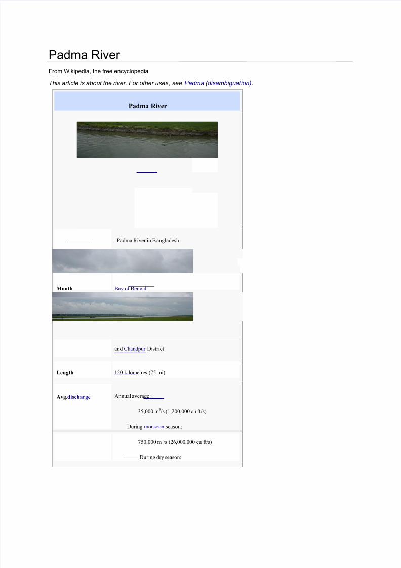
Padma River From Wikipedia, the free encyclopedia This article is about the river. For other uses , see Padma (disambiguation). Padma River Padma River in B angladesh Origin Himalayas Mouth Bay of Bengal Basincountries India, Bangladesh Location Nawabganj , Rajshahi , Pabna, Kushtia,Faridpur , Rajbari , and Chandpur District Length 120 kilometres (75 mi) Avg.discharge Annual average: 35,000 m 3 /s (1,200,000 cu ft/s) During monsoon season: 750,000 m 3 /s (26,000,000 cu ft/s) During dry season:
-
Upload
sharmistha-talukder-khastagir -
Category
Documents
-
view
220 -
download
0
Transcript of Padma River
8/13/2019 Padma River
http://slidepdf.com/reader/full/padma-river 1/5
Padma River From Wikipedia, the free encyclopedia
This article is about the river. For other uses, see Padma (disambiguation).
Padma River
Padma River in Bangladesh
Origin Himalayas
Mouth Bay of Bengal
Basincountries India, Bangladesh
Location Nawabganj, Rajshahi, Pabna, Kushtia,Faridpur , Rajbari,
and Chandpur District
Length 120 kilometres (75 mi)
Avg.discharge Annual average:
35,000 m3/s (1,200,000 cu ft/s)
During monsoon season:
750,000 m3/s (26,000,000 cu ft/s)
During dry season:
8/13/2019 Padma River
http://slidepdf.com/reader/full/padma-river 2/5
15,000 m3/s (530,000 cu ft/s)
River
system
Ganges River System
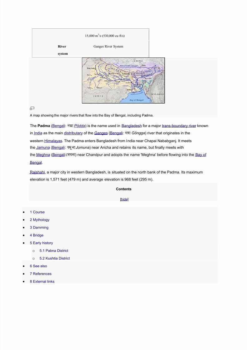
A map showing the major rivers that flow into the Bay of Bengal, including Padma.
The Padma (Bengali: পদা Pôdda) is the name used in Bangladesh for a major trans-boundary river known
in India as the main distributary of the Ganges (Bengali: গঙা Gôngga) river that originates in the
western Himalayas. The Padma enters Bangladesh from India near Chapai Nababganj. It meets
the Jamuna (Bengali: যমুনা Jomuna) near Aricha and retains its name, but finally meets with
the Meghna (Bengali:মঘনা ) near Chandpur and adopts the name 'Meghna' before flowing into the Bay of
Bengal.
Rajshahi, a major city in western Bangladesh, is situated on the north bank of the Padma. Its maximum
elevation is 1,571 feet (479 m) and average elevation is 968 feet (295 m).
Contents
[hide]
1 Course
2 Mythology
3 Damming
4 Bridge
5 Early history
o 5.1 Pabna District
o 5.2 Kushtia District
6 See also
7 References
8 External links
8/13/2019 Padma River
http://slidepdf.com/reader/full/padma-river 3/5
Course[edit]
The Ganges originates in the Gangotri Glacier of the Himalaya, and runs through India and Bangladesh to
the Bay of Bengal. The Ganges enters Bangladesh at Shibganj in the district of Chapai Nababganj. Just
downstream? west of Shibganj, the Ganges branches into two distributaries, the Bhagirathi and the PadmaRivers. The Bhagirathi which flows southwards is also known as the Ganga and was named
theHoogly or Hooghly by the British.
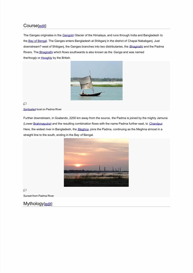
Spritsailed boat on Padma River
Further downstream, in Goalando, 2200 km away from the source, the Padma is joined by the mighty Jamuna
(Lower Brahmaputra) and the resulting combination flows with the name Padma further east, to Chandpur .
Here, the widest river in Bangladesh, the Meghna, joins the Padma, continuing as the Meghna almost in a
straight line to the south, ending in the Bay of Bengal.
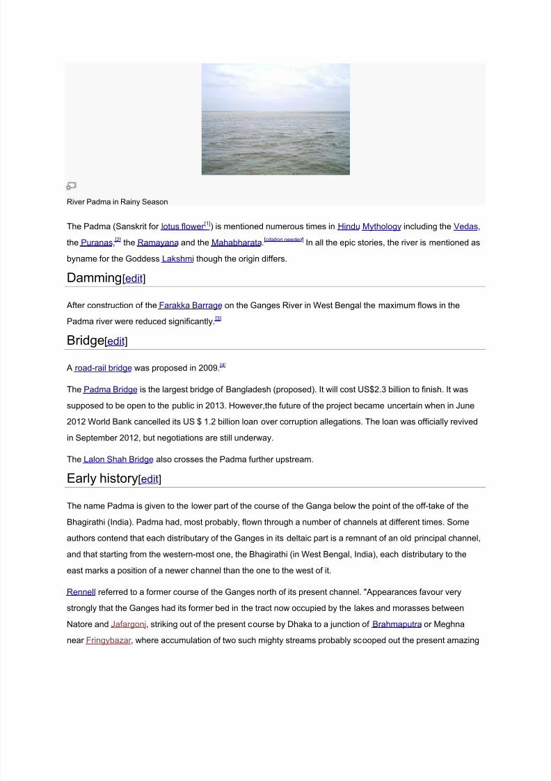
Sunset from Padma River
Mythology[edit]
8/13/2019 Padma River
http://slidepdf.com/reader/full/padma-river 4/5
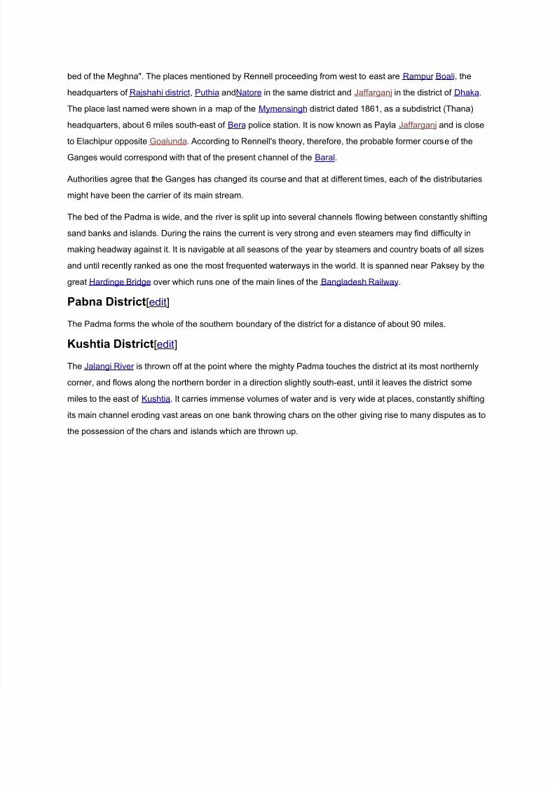
River Padma in Rainy Season
The Padma (Sanskrit for lotus flower [1]) is mentioned numerous times in Hindu Mythology including the Vedas,
the Puranas,[2] the Ramayana and the Mahabharata.[citation needed ] In all the epic stories, the river is mentioned as
byname for the Goddess Lakshmi though the origin differs.
Damming[edit]
After construction of the Farakka Barrage on the Ganges River in West Bengal the maximum flows in the
Padma river were reduced significantly.[3]
Bridge[edit]
A road-rail bridge was proposed in 2009.[4]
The Padma Bridge is the largest bridge of Bangladesh (proposed). It will cost US$2.3 billion to finish. It was
supposed to be open to the public in 2013. However,the future of the project became uncertain when in June
2012 World Bank cancelled its US $ 1.2 billion loan over corruption allegations. The loan was officially revived
in September 2012, but negotiations are still underway.
The Lalon Shah Bridge also crosses the Padma further upstream.
Early history[edit]
The name Padma is given to the lower part of the course of the Ganga below the point of the off-take of the
Bhagirathi (India). Padma had, most probably, flown through a number of channels at different times. Some
authors contend that each distributary of the Ganges in its deltaic part is a remnant of an old principal channel,
and that starting from the western-most one, the Bhagirathi (in West Bengal, India), each distributary to the
east marks a position of a newer channel than the one to the west of it.
Rennell referred to a former course of the Ganges north of its present channel. "Appearances favour very
strongly that the Ganges had its former bed in the tract now occupied by the lakes and morasses between
Natore and Jafargonj, striking out of the present course by Dhaka to a junction of Brahmaputra or Meghna
near Fringybazar , where accumulation of two such mighty streams probably scooped out the present amazing
8/13/2019 Padma River
http://slidepdf.com/reader/full/padma-river 5/5
bed of the Meghna". The places mentioned by Rennell proceeding from west to east are Rampur Boali, the
headquarters of Rajshahi district, Puthia andNatore in the same district and Jaffarganj in the district of Dhaka.
The place last named were shown in a map of the Mymensingh district dated 1861, as a subdistrict (Thana)
headquarters, about 6 miles south-east of Bera police station. It is now known as Payla Jaffarganj and is close
to Elachipur opposite Goalunda. According to Rennell's theory, therefore, the probable former course of the
Ganges would correspond with that of the present channel of the Baral.
Authorities agree that the Ganges has changed its course and that at different times, each of the distributaries
might have been the carrier of its main stream.
The bed of the Padma is wide, and the river is split up into several channels flowing between constantly shifting
sand banks and islands. During the rains the current is very strong and even steamers may find difficulty in
making headway against it. It is navigable at all seasons of the year by steamers and country boats of all sizes
and until recently ranked as one the most frequented waterways in the world. It is spanned near Paksey by the
great Hardinge Bridge over which runs one of the main lines of the Bangladesh Railway.
Pabna District[edit]
The Padma forms the whole of the southern boundary of the district for a distance of about 90 miles.
Kushtia District[edit]
The Jalangi River is thrown off at the point where the mighty Padma touches the district at its most northernly
corner, and flows along the northern border in a direction slightly south-east, until it leaves the district some
miles to the east of Kushtia. It carries immense volumes of water and is very wide at places, constantly shifting
its main channel eroding vast areas on one bank throwing chars on the other giving rise to many disputes as to
the possession of the chars and islands which are thrown up.