Overview of the Esri Disaster Response Program...2017 Esri Public Sector GIS...
21
Overview of the Esri Disaster Response Program Kevin Armstrong Solution Engineer – Esri Public Safety
Transcript of Overview of the Esri Disaster Response Program...2017 Esri Public Sector GIS...

Overview of the Esri Disaster
Response ProgramKevin Armstrong
Solution Engineer – Esri Public Safety

E M E R A L D
S A P P H I R E
T H A N K Y O U T O
OUR SPONSORS

The mission of the Esri Public Safety Assistance Program is
to establish Esri as a good corporate citizen, best of breed
technology, and provide software and support to
organizations and agencies impacted by complex
emergencies and large-scale special events.
Mission Statement

Esri Disaster Response Program
• Replacement / Additional
Software
• Data
• Workflow Support
• Premium Tech Support
• Occasionally Onsite
Support
http://www.esri.com/disaster

Major Esri Disaster Response Program Activations
• Northridge Earthquake 1994
• Oklahoma City Bombing 1995
• Hurricane Mitch 1997
• FEMA Project Impact 1998
• WTC and Pentagon Attacks 2001
• Space Shuttle Columbia Disaster 2003
• La Conchita Laguna Landslides 2004
• Indian Ocean Tsunami 2004
• Pakistan Earthquake 2005
• Indonesian Earthquake 2006
• Peru Earthquake 2007
• Niigata Earthquake Japan 2007
• China Earthquake 2008
• Australia Bush Fires 2009
• Influenza A – H1NA Outbreak 2009
• Haiti Earthquake 2010
• Chile Earthquake 2010
• 2010 Tennessee Flooding
• 2010 Deepwater Horizon Oil Spill
• 2010 Pakistan Flooding
• 2010 Atlantic Hurricane Season
• 2010 Fourmile Canyon Fire
• 2010 Australia Flooding
• 2011 Spring Tornadoes
• 2011 Japan Earthquake and Tsunami
• 2011 US National Level Exercise
• 2011 Thailand Flooding
• 2011 Turkey Earthquake
• 2012 Duluth (MN) Flooding
• 2012 Philippines Flooding
• 2012 Hurricane Sandy
• 2013 Boston Marathon Bombing
• 2013 West Text Explosion
• 2013 Colorado Flooding
• 2013 Typhoon Yolanda/Haiyan
• 2014 Washington Mudslide
• 2014 CUSEC CAPSTONE Exercise
• 2014 Napa Earthquake
• 2014 MH17
• 2014 Ebola Outbreak
• 2015 Nepal Earthquake
• 2015 South Carolina Flooding
• 2015 Flint Water Crisis
• 2015 European Refugee Crisis
• 2016 Texas Flooding
• 2016 Wisconsin Flooding
• 2016 Louisiana Flooding
• 2016 Hurricane Matthew
• 2016 Gatlinburg / Southeast Fires
• 2017 Louisiana Tornadoes

Top Ten Information Products
• Public Information Map
• Impact Summary Map
• Story Map Journal for Briefings
• Initial Damage Assessment
• Preliminary Damage Assessment
• Story Map Tour
• Operations Dashboard for Situational
Awareness
• Post-event Imagery Swipe Map
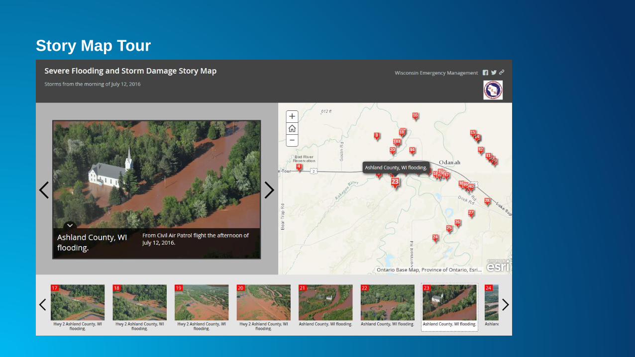
• Situational Awareness Viewer
• Crowdsourcing

Public Information Map

Impact Summary Map

Story Map Journal for Briefings

Initial Damage Assessment

Preliminary Damage Assessment
• Effort lead by FEMA in working with
partners
• Community template available with
Survey123 – “Preliminary Damage
Assessment FEMA”
• Provides programmatic minimum for
damage assessment
- States and locals can add to this
• Leads to better data, faster
declarations, better interoperability,
and better analytics
Story Map Tour

Operations Dashboard for Situational Awareness

Swipe Map
Situational Awareness Viewer

Crowdsourcing

Resources
• Examples
• How To Guides
• Live Feeds
Disasterresponse.maps.arcgis.com

Lessons Learned
• Be Prepared!
- Familiar with ArcGIS Online and web maps
- Have your data well organized
- Configure information products
• Be Agile!
- New requests and requirements can be met with configuration of apps
• Practice!
- How can you use and showcase GIS in upcoming exercises?
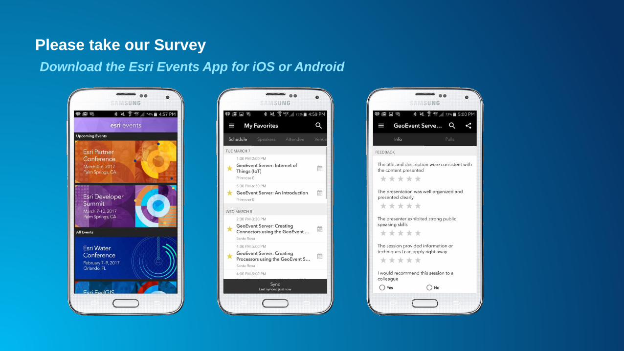
Please take our Survey
Download the Esri Events App for iOS or Android

Questions / Feedback?
Please visit us at the booth
Kevin Armstrong
Public Safety Solutions Engineer