Overview of the ARC Marine Cadastre Project Marine Administration Workshop —Introduction— Dr...
12
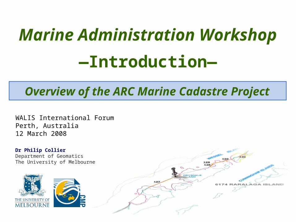
Overview of the ARC Marine Cadastre Project Marine Administration Workshop —Introduction— Dr Philip Collier Department of Geomatics The University of Melbourne WALIS International Forum Perth, Australia 12 March 2008
-
Upload
joan-carpenter -
Category
Documents
-
view
215 -
download
2
Transcript of Overview of the ARC Marine Cadastre Project Marine Administration Workshop —Introduction— Dr...
Overview of the ARC Marine Cadastre Project
Marine Administration Workshop
—Introduction—
Dr Philip CollierDepartment of GeomaticsThe University of Melbourne
WALIS International ForumPerth, Australia12 March 2008

WALIS International Forum – Marine Administration Workshop (Perth, March 2008)
Page 2.
The marine-spatial The marine-spatial dimension…dimension…
• Marine administration requires…– the definition of,– access to, and– information about…
• the location (and accuracy) of… – the “coastline” and other– legally defined offshore boundaries, as well as
• the rights, restrictions and responsibilities linked to those boundaries

WALIS International Forum – Marine Administration Workshop (Perth, March 2008)
Page 3.
The marine cadastre The marine cadastre concept…concept…• The marine cadastre will aid marine
administration
• It will facilitate access to the spatial dimension
• It will provide the capacity to…– delineate,– administer,– manage, and– govern
...legally defined marine boundaries

WALIS International Forum – Marine Administration Workshop (Perth, March 2008)
Page 4.

National and international maritime boundaries

Regional and local maritime boundaries

WALIS International Forum – Marine Administration Workshop (Perth, March 2008)
Page 7.
Initial marine cadastre Initial marine cadastre research…research…• Title
– Defining and Developing a Marine Cadastre for Australia
• Funding– ARC Linkage-Project– Three industry partners
• Timing (2 years)– June ‘02 – June ‘04
WALIS International Forum – Marine Administration Workshop (Perth, March 2008)
Page 8.
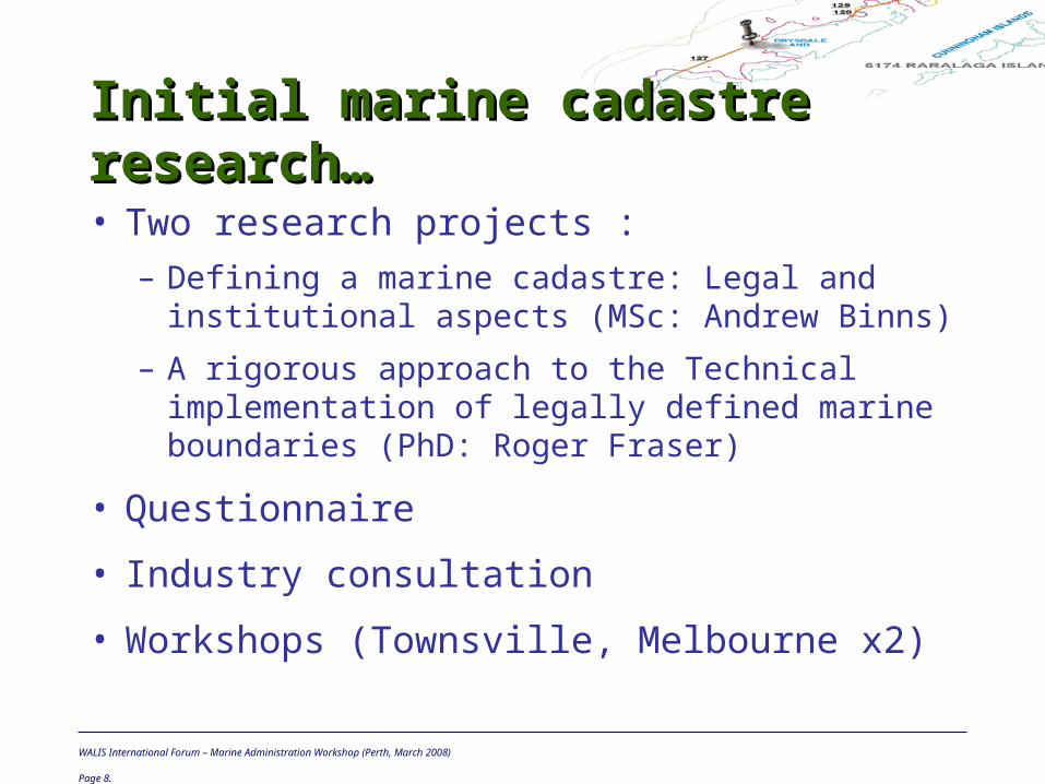
Initial marine cadastre Initial marine cadastre research…research…• Two research projects :
– Defining a marine cadastre: Legal and institutional aspects (MSc: Andrew Binns)
– A rigorous approach to the Technical implementation of legally defined marine boundaries (PhD: Roger Fraser)
• Questionnaire
• Industry consultation
• Workshops (Townsville, Melbourne x2)

WALIS International Forum – Marine Administration Workshop (Perth, March 2008)
Page 9.
Current marine cadastre Current marine cadastre research…research…• Title
– A marine cadastre for Australia: Legal and technical issues
• Funding– ARC Linkage-Project– Two universities– Four industry partners
• Timing (3 years)– November ‘04 – November ‘07
WALIS International Forum – Marine Administration Workshop (Perth, March 2008)
Page 10.
Current marine cadastre Current marine cadastre research…research…• Four research themes :
– Determination of natural boundaries in the marine environment – (Joe Leach & Adrian Kitchingman [MSc])
– Developing a seamless SDI across the land-sea interface – (Abbas Rajabifard, Ian Williamson, Sheelan Vaez [PhD] & Lisa Strain [MSc])
– Defining the littoral zone: Issues and solutions – (Philip Collier & Nathan Quadros [PhD])
– Policy and security issues for a marine cadastre – (Clive Schofield & Alycia Davis [PhD])

WALIS International Forum – Marine Administration Workshop (Perth, March 2008)
Page 11.
Objectives for today....Objectives for today....• Report on current status
• Highlight areas for future research
• Take feedback and input from stakeholders
• Stimulate interest
• Acknowledge contributions of our partners

Overview of the ARC Marine Cadastre Project
Marine Administration Workshop
—Introduction—
Dr Philip CollierDepartment of GeomaticsThe University of Melbourne
WALIS International ForumPerth, Australia12 March 2008