ODOS The Office of the Dean of Students. Projects Interactive Campus Map Global Positioning System -...
25
ODOS The Office of the Dean of Students
-
date post
21-Dec-2015 -
Category
Documents
-
view
215 -
download
1
Transcript of ODOS The Office of the Dean of Students. Projects Interactive Campus Map Global Positioning System -...

ODOS
The Office of the Dean of Students
Projects
• Interactive Campus Map
• Global Positioning System - Device for the Visually Impaired
• Adjustable Table Project
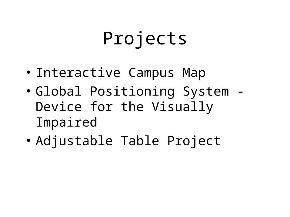
ICMICM
• Objective: To help students with physical disabilities locate the best accessible path between campus locations by drawing a map
Interactive Campus Map

Semester Goals• For the first half of
the semester, produce a working version of the ICM for the Engineering Mall area
• For the second half of the semester, expand area and plan improvements

Tasks
• Web interface needs to be integrated with back end code
• Database needs actual GPS coordinates
• Need a program to connect pieces of project
• Expand to more of campus
• Get user feedback – Plan new features
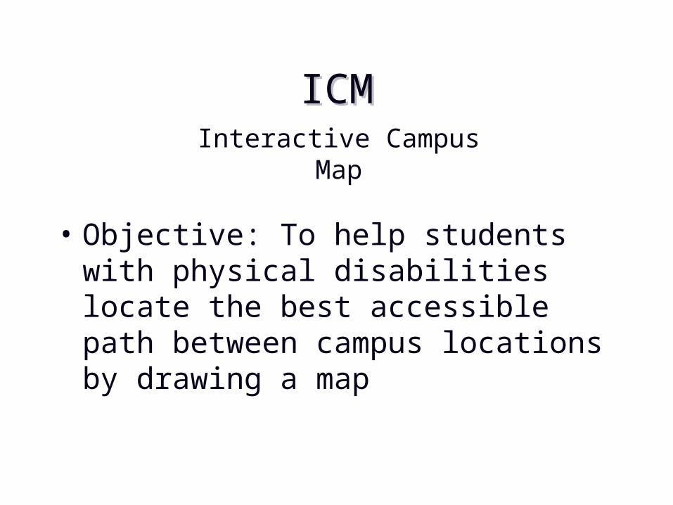
Web-Interface
• Facilitates channeling of the user input data to the best path implementation routine
• Simple and easy to use
• Needs to be easy to maintain for future semesters

Nodes in the Map

Node Database
• Database example• For GPS coordinates (Latitude, Longitude)
Node Name GPS Coordinates TYPE Neighbors
1 PHYS 6.285, 1.225 Door 2,4,9,10
2 MSEE(NW) 6.654, 3.256 Door 1,7,9,14
3 MSEE(SE) 6.542, 3.2545 Door 4,5,6
4 INT1 6.021, 3.021 Intersection 1,3,6

This Semester
• Team transition attempted
• Detailed semester plan
• Trying to get real GPS data
• Updated image code
• Have met with project partner, and continue on the same course of action as last semester with their approval
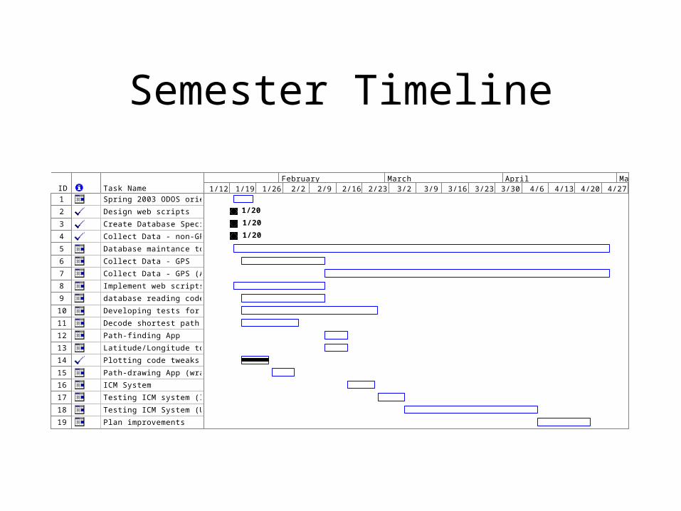
Semester Timeline
ID Task Name
1 Spring 2003 ODOS orientation and planning
2 Design web scripts
3 Create Database Specification
4 Collect Data - non-GPS
5 Database maintance tools
6 Collect Data - GPS
7 Collect Data - GPS (All-Campus)
8 Implement web scripts & clean up
9 database reading code
10 Developing tests for system
11 Decode shortest path
12 Path-finding App
13 Latitude/Longitude to Pixel conversion routine
14 Plotting code tweaks - clear up interface, default colors…
15 Path-drawing App (wrapper for drawing code)
16 ICM System
17 Testing ICM system (Internal)
18 Testing ICM System (User / Feedback)
19 Plan improvements
1/20
1/20
1/20
1/12 1/19 1/26 2/2 2/9 2/16 2/23 3/2 3/9 3/16 3/23 3/30 4/6 4/13 4/20 4/27 5/4January February March April May

GPS-DVI
Global Positioning System -
Device for the Visually Impaired

Overview
• To design and implement a portable device that will enable students who are visually impaired to navigate around campus by the use of the global positioning system.

Team Transition
• Integrated new members
• Catch up and distribute access to team resources
• Assessing tasks for recently acquired members
• Reorganizing directory structure to ease in future team transitions

Semester Goals
• Determine the node data structure, in addition to the program flow/class structure
• Work on component functions, integrate into program
• Develop prototype

Tasks
• Voice output solution
• Schedule parsing
• Best path– Turn-by-turn directions
• Project partner feedback – new features?

Current State
• Semi-working user interface– Building code input
• GPS Receiver interaction– Displays NMEA standard on screen
• Best Path Algorithm– Multiple versions of alpha quality algorithms

Current Semester
• Obtained Windows CE programming documentation
• Obtained hardware to use in the development of the project
• Alpha code written for the schedule parser button
• Reevaluated best path methods• Met with Project Partner

Semester Timeline

Adjustable Table Project
• Table– Requirements:
• No more than 130 lbs
• 5 lbs of closed fist lifting force to adjust table
• Adjustable from 24 to 36 inches
• Less than $500 to manufacture
– Status of Table• Currently on 3rd and final Prototype
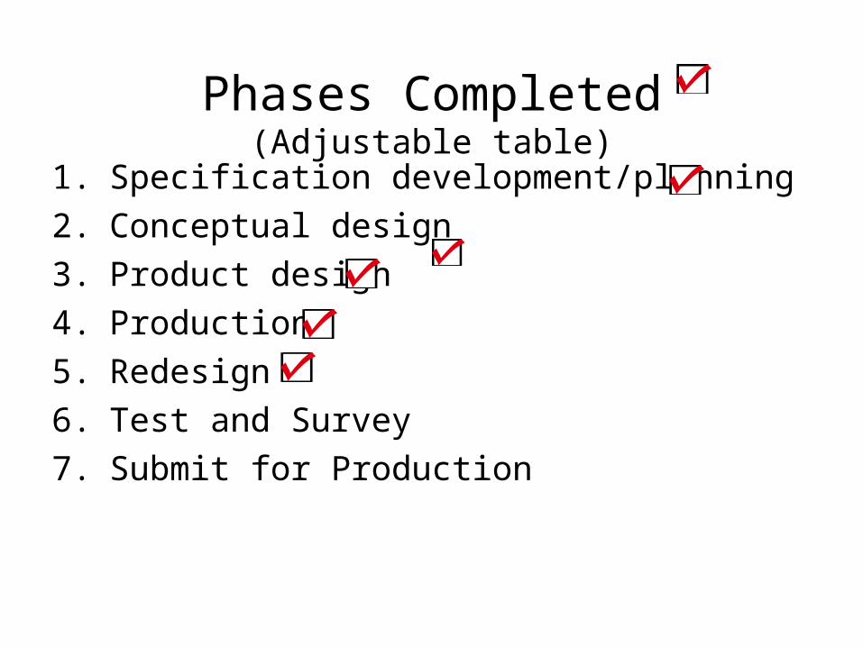
Phases Completed(Adjustable table)
1. Specification development/planning
2. Conceptual design
3. Product design
4. Production
5. Redesign
6. Test and Survey
7. Submit for Production

Final Steps
• Drawing in AutoCad needs to be updated and finalized so project can be submitted
• Table needs to be tested by users

ICM Kiosk
• Requirements
– Easy to use while in wheelchair
– Print best path to classrooms
– Obey all design standards for people that have a disability

Phases Completed(Kiosk)
• Specification development/planning • Conceptual design • Product design • Production • Service • Redesign or retirement and disposal

Gantt ChartID Task Name Duration Start Finish
1 Team Formation & Project Familiarization 1 day Tue 1/28/03 Tue 1/28/03
2 Demo 1 day Wed 2/5/03 Wed 2/5/03
3 Phase I - Kiosk 49 days Wed 1/29/03 Fri 4/4/03
4 Design top opening device 14 days Wed 1/29/03 Mon 2/17/03
5 Update Pro-E files, and convert files to AutoCad 7 days Tue 2/18/03 Wed 2/26/03
6 Construction of Kiosk at Central Machine Shop 28 days Thu 2/27/03 Fri 4/4/03
7 Phase II - Second Prototype 76 days Wed 1/29/03 Tue 5/13/03
8 Determine Status of Current Table 2 days Wed 1/29/03 Thu 1/30/03
9 Update and finalize AutoCad Files 7 days Mon 3/3/03 Tue 3/11/03
10 Spring Break 5 days Mon 3/17/03 Fri 3/21/03
11 Survey users and consider modifications 14 days Mon 3/24/03 Thu 4/10/03
12 Update and submit findings 14 days Fri 4/11/03 Wed 4/30/03
13 Brainstorm New Projects 9 days Thu 5/1/03 Tue 5/13/03
14
15 End of Semester Report 6 days Mon 4/28/03 Mon 5/5/03
1/19 2/2 2/16 3/2 3/16 3/30 4/13 4/27 5/11 5/25 6/8January February March April May June

Questions?


![SMART CANE FOR VISUALLY IMPAIRED PEOPLEgreenskill.net/suhailan/fyp/report/037454.pdf · visually-impaired people. First, Smart Cane: Assistive Cane for Visually-impaired People [9].](https://static.fdocuments.in/doc/165x107/5fc7e53d210a4218aa7c699a/smart-cane-for-visually-impaired-visually-impaired-people-first-smart-cane-assistive.jpg)