Objectives - pla.co.uk · 1 Hydrographic Surveying at The Port of London John Dillon-Leetch, Port...
16
1 Hydrographic Surveying at The Port of London John Dillon-Leetch, Port of London Authority Objectives • Overview of Port of London. • Hydrographic Department • Function • Resources • Products • Ongoing and Future Developments • Career Prospects • UCL/PLA MSc
Transcript of Objectives - pla.co.uk · 1 Hydrographic Surveying at The Port of London John Dillon-Leetch, Port...
1
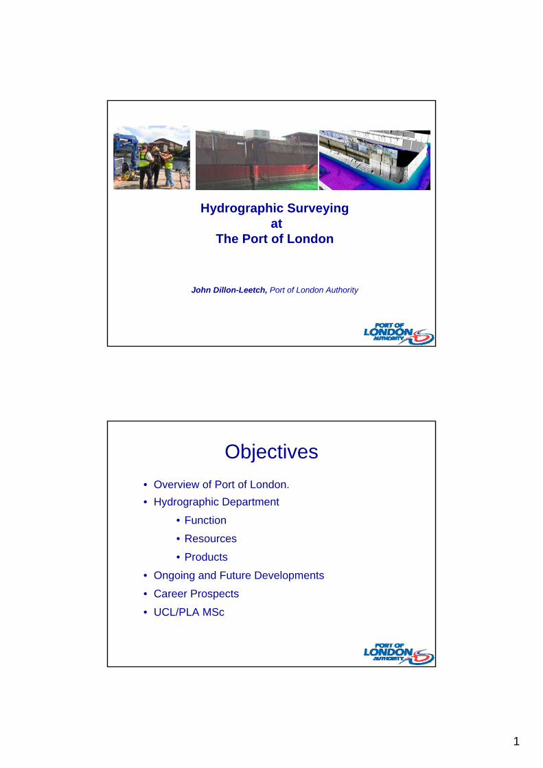
Hydrographic Surveying at
The Port of London
John Dillon-Leetch, Port of London Authority
Objectives
• Overview of Port of London.
• Hydrographic Department
• Function
• Resources
• Products
• Ongoing and Future Developments
• Career Prospects
• UCL/PLA MSc
2
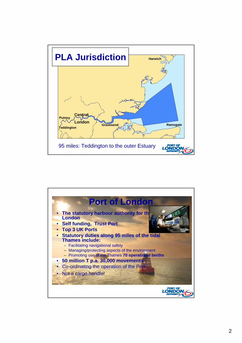
Harwich
Ramsgate
Putney
Gravesend
Central
LondonTeddington
95 miles: Teddington to the outer Estuary
PLA Jurisdiction
Port of London• The statutory harbour authority for the Port of
London• Self funding, Trust Port• Top 3 UK Ports• Statutory duties along 95 miles of the tidal
Thames include:– Facilitating navigational safety – Managing/protecting aspects of the environment– Promoting use of the Thames 70 operational berths
• 50 million T p.a. 30,000 movements• Co-ordinating the operation of the Port
• Not a cargo handler
3
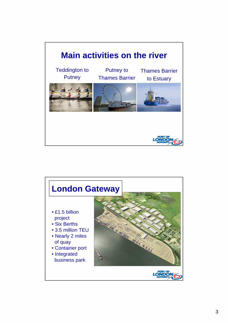
Main activities on the river
Teddington to Putney
Putney to
Thames BarrierThames Barrier
to Estuary
London Gateway
• £1.5 billion project
• Six Berths• 3.5 million TEU • Nearly 2 miles of quay
• Container port• Integrated business park
4
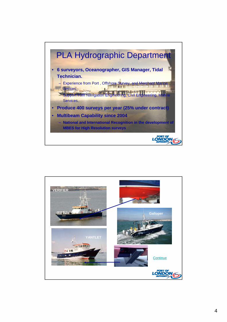
PLA Hydrographic Department
• 6 surveyors, Oceanographer, GIS Manager, Tidal
Technician.
– Experience from Port , Offshore Survey, and Merchant Marine
Sectors.
– Support from Navigation Engineering, Civil Engineering, Marine
Services.
• Produce 400 surveys per year (25% under contract)
• Multibeam Capability since 2004
– National and International Recognition in the development of
MBES for High Resolution surveys
YANTLET
VERIFIER
BRENT
Continue
Galloper
5
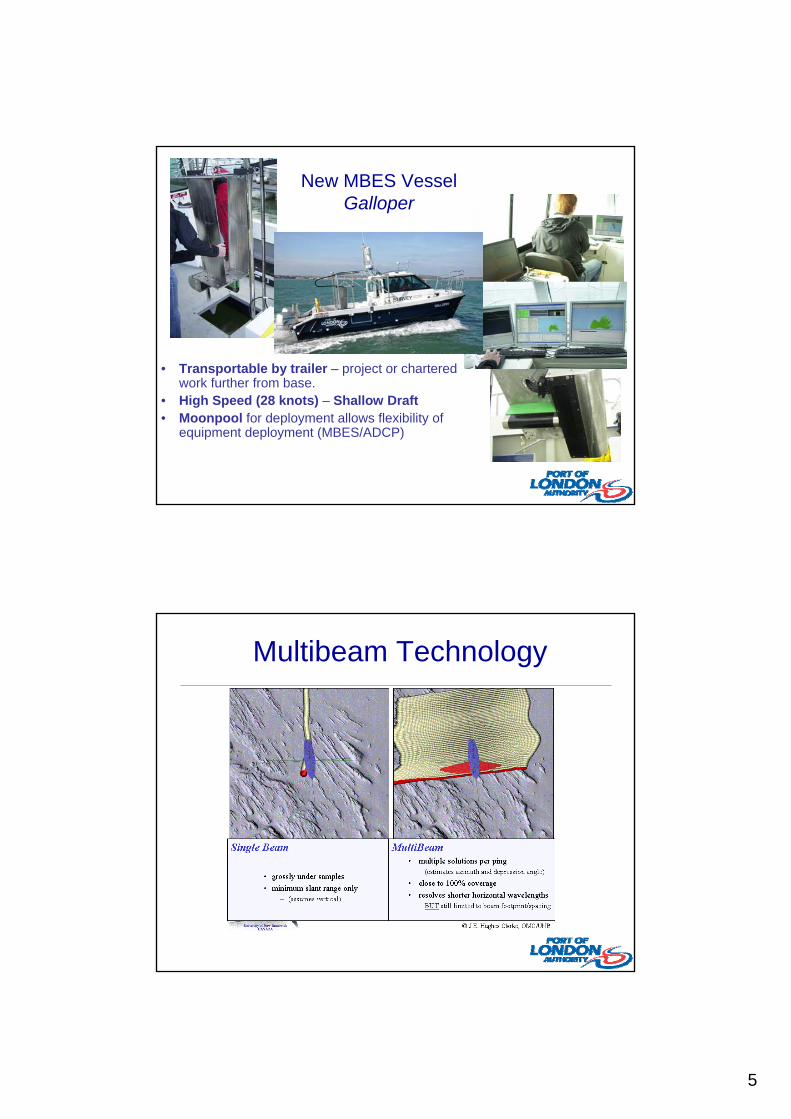
New MBES Vessel Galloper
• Transportable by trailer – project or chartered work further from base.
• High Speed (28 knots) – Shallow Draft• Moonpool for deployment allows flexibility of
equipment deployment (MBES/ADCP)
Multibeam Technology
6
Multibeam Technology
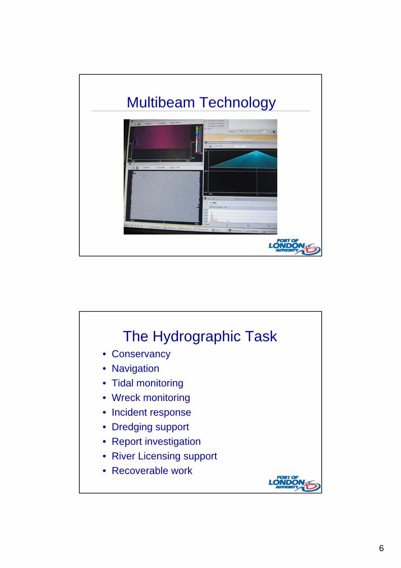
The Hydrographic Task• Conservancy
• Navigation
• Tidal monitoring
• Wreck monitoring
• Incident response
• Dredging support
• Report investigation
• River Licensing support
• Recoverable work
7
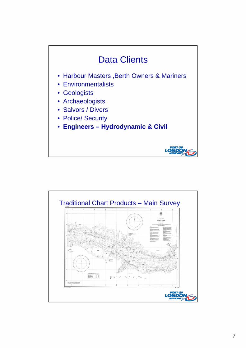
Data Clients
• Harbour Masters ,Berth Owners & Mariners• Environmentalists• Geologists• Archaeologists• Salvors / Divers• Police/ Security• Engineers – Hydrodynamic & Civil
Traditional Chart Products – Main Survey
8
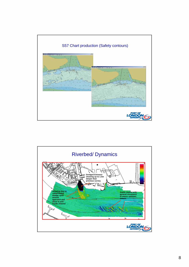
S57 Chart production (Safety contours)
Shoaling due to redistributed dredge spoil around approach and close to and inside channel
Dredged Entrance showing up to 1.5m deeper than previous survey.
Stable depths with general movement of waves up/down stream.
Riverbed/ Dynamics
9
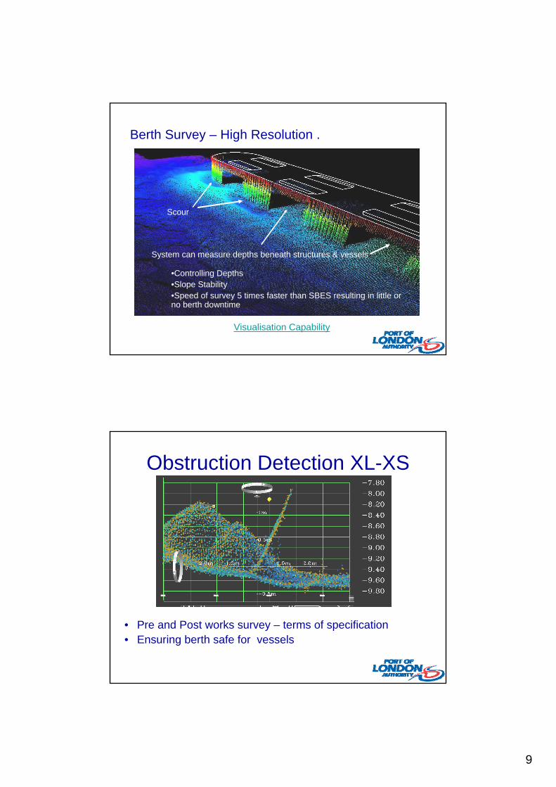
Berth Survey – High Resolution .
System can measure depths beneath structures & vessels
Scour
Visualisation Capability
•Controlling Depths•Slope Stability•Speed of survey 5 times faster than SBES resulting in little or no berth downtime
Obstruction Detection XL-XS
• Pre and Post works survey – terms of specification• Ensuring berth safe for vessels
10
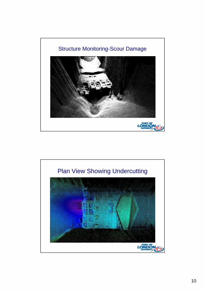
Structure Monitoring-Scour Damage
Plan View Showing Undercutting
11
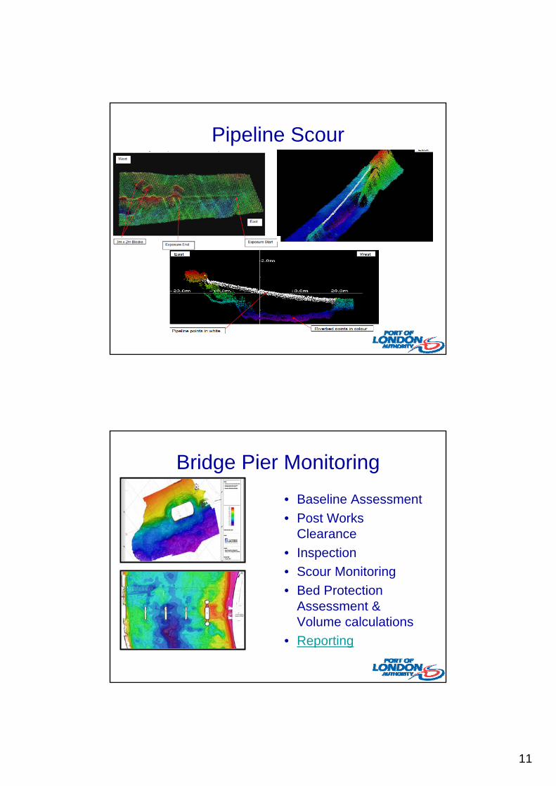
Pipeline Scour
Bridge Pier Monitoring
• Baseline Assessment
• Post Works Clearance
• Inspection
• Scour Monitoring
• Bed Protection Assessment & Volume calculations
• Reporting
12
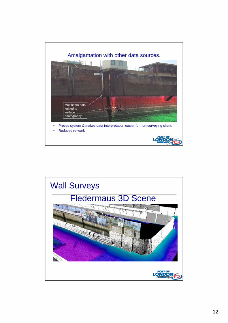
Amalgamation with other data sources.
• Proves system & makes data interpretation easier for non-surveying client.
• Reduced re-work
Multibeam data knitted to surface photography
Wall Surveys
Fledermaus 3D Scene

13
New Developments: Integration of Terrestrial Laser systems?
• Laser Scanning Schematic
Riegl Laser mobilised to PLA survey vessel Galloper (Aug ’08)
Laser Data Examples
• Westminster Area Overview
Savoy Pier Scan Imagery

14
MSc in Hydrographic SurveyingUCL and the PLA
• Unique collaboration between an academic institution and industry.
• Recognised by IHO/FIG/ICA as a Category A course.
• Recognised by the RICS.
• Covers ports, harbours, offshore, coastal…
UCL PLA
Geodesy, datums, coordinate reference systems (including VORF, etc).
GPS and other navigation systems
Statistics, data analysis, least squares processing.
GIS, digital mapping and charting.
Coastal engineering.
Professional practice.
Fully equipped vessels, with multibeam, sidescan, etc.
Bathymetric surveying and charting.
Offshore surveying, with input from Sonardyne, Fugro and Netsurvey.
Collaboration on practical field work and individual student projects

15
Student projects – examples
• Accuracy of structural underwater multibeam
• Combination of multibeam and laser scanning for tunnel surveys
• Future uses of new GNSS in hydrographic surveying
• Comparison of tide gauge data and altimetry
• Correlations between bathymetry and wave parameters
CONCLUSIONS
• Technology only as good as the surveyor acquiring & processing the data – not push button systems

16
Any Questions?
•At Work