Northern European Quality James Roy Yacht Design Director BMT Nigel Gee Ltd. 16-17 April 2013
Upload
lillian-lancasterCategory
view
35download
0description

Nigel JamesBodleian Library
Online MapsSources of digital
mapping

What is digital mapping?
Raster mapping – scanned paper maps
Digital map data – viewed with specialist software
Choice depends user’s requirements

Raster mapping
No special software required
Can be inserted directly into a document
Limited modification possible

Raster mapping
Widely available on the WWW
Both historic and modern mapping
Remote sensing imagery available
Free access does not mean free to use!
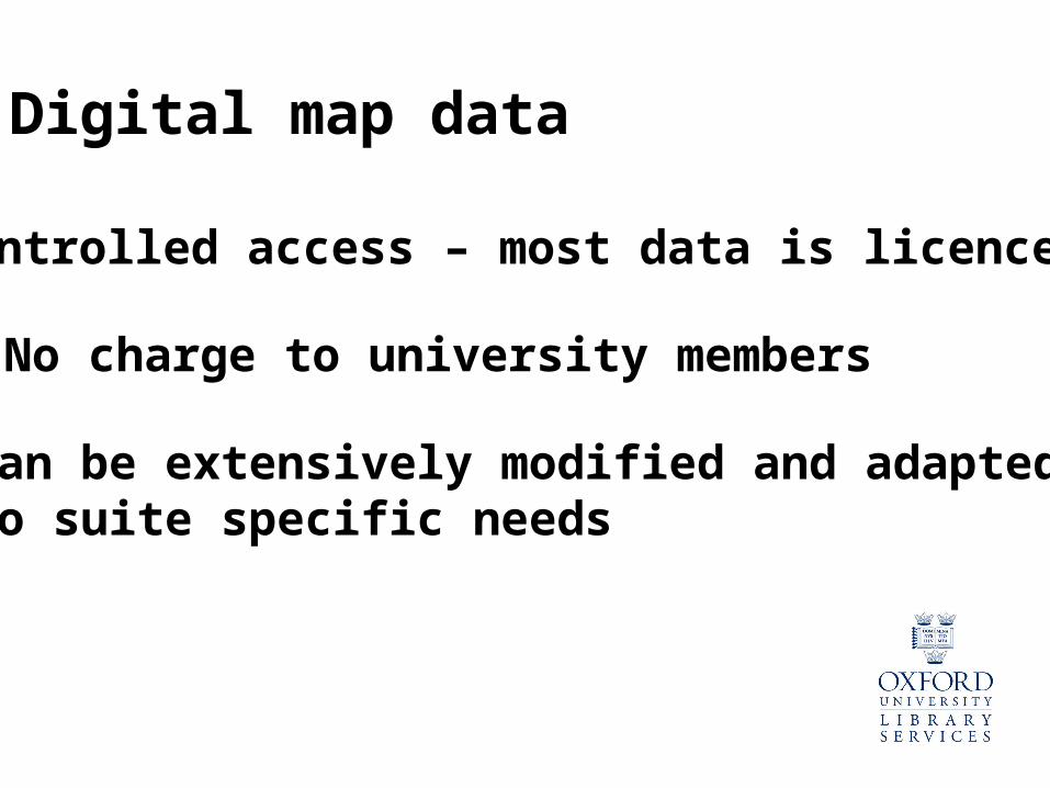
Digital map data
Controlled access – most data is licenced
No charge to university members
Can be extensively modified and adaptedTo suite specific needs
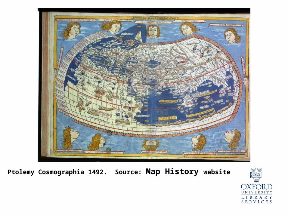
Ptolemy Cosmographia 1492. Source: Map History website

Source: The World Factbook website

Source: David Rumsey Map Collection website

Source: The World Factbook website
Resizing raster mapping

Source: Global Insight digital dataset
Resizing digital map data

Source: Global Insight digital dataset
Resizing digital map data

Sources of digital map dataBartholomew digital data
- available in the Bodleian Map Room and on OXLIP
Global Insight world dataset
- available in the Bodleian Map Room only
3 world datasets
Europe dataset
Great Britain dataset
London dataset
Various other datasets – GB census boundaries andWorld thematic data, for example

Sources of digital map dataOrdnance Survey Digital Data from DIGIMAP
Available free to registered users
Range of datasets available
OS Strategi dataset 1:250 000 OS Land-line dataset 1:1250

Sources of digital map dataOrdnance Survey Digital Data from DIGIMAP
Raster data also available
Georeferenced for use in a GIS
OS 1:25 000 raster datasetOS 1:10 000 raster dataset