Mapping. All About Maps Video O LKNI LKNI O This one is a little childish,
14
Mapping
-
Upload
stuart-carson -
Category
Documents
-
view
213 -
download
0
Transcript of Mapping. All About Maps Video O LKNI LKNI O This one is a little childish,

Mapping

All About Maps VideoO http://
www.youtube.com/watch?v=T1E0I4eLKNI
O This one is a little childish, but it’s got everything you need to know and it’s short… So be patient with it…
Map Projections Video
http://watchknowlearn.org/Video.aspx?VideoID=5989

Lat. - Long.O The term Lat. – Long. refers to latitude and
longitude.
O It also is the order in which the numbers are presented… Latitude first and then the longitude number
O Latitudes are the lines that run across the globe but they measure North – South
O Longitudes are the lines that run up and down the globe but they measure East - West
Globes and maps are models of our planet Earth.
In this activity, you’ll learn more about why and how we use thissystem of coordinates.
A system of coordinates means that each part of the system acts together to locate positions by using identifying
degrees and directionsSuch as LAT. – LONG.

Latitude and LongitudeO On the World Map, notice two dashed
lines between the equator and the 30 o
N and 30 o S lines. These are called theO Tropic of Cancer (23-1/2 o N) and O Tropic of Capricorn (23-1/2 o S).
O The Tropics are important because they are where the Sun appears to be directly overhead at different seasons.

World Map

Your Turn #1O On your Mapping Page, create a header
called Important Lat/LongO Put a copy of the World Map on your
pageO Then include the following locations with
their degrees latitude and longitude.O Equator O Prime Meridian O Tropic of Cancer O Tropic of Capricorn degrees

Your Turn #2O The second thing to do is to copy the
map on the next page to your site as well.
O Then identify the latitude and longitude for each letter. For example: O A = 20degrees South, 100 degrees
West

World Map for Your Turn

Your Turn #3O Copy the map below to your page.O Then, use the map to determine
O The from the pond to the island in kilometers.
O Estimate the distance from the pond to the island if you were travelling only by river.

Your Turn Map #2
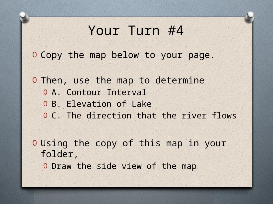
Your Turn #4
O Copy the map below to your page.
O Then, use the map to determineO A. Contour IntervalO B. Elevation of LakeO C. The direction that the river flows
O Using the copy of this map in your folder,O Draw the side view of the map

Your Turn Topo Map