Mannheim Web 2.0 Systems Development. Plan Being an early-adopter Web 2.0 technologies Mashups...
24
Mannheim Web 2.0 Systems Development
-
date post
21-Dec-2015 -
Category
Documents
-
view
213 -
download
0
Transcript of Mannheim Web 2.0 Systems Development. Plan Being an early-adopter Web 2.0 technologies Mashups...

Mannheim
Web 2.0 Systems Development
Plan
• Being an early-adopter
• Web 2.0 technologies
• Mashups
• Google Earth and kml
• XQuery and eXist
Being an Early Adopter
• Learning new technologies when:– No official textbooks – No definitive documentation– You need to get ahead of the game
• Use– Examples– Discussion groups– Application Programmer interfaces– Reading page sources– Digging and delving– Experimenting with small examples, smaller changes to larger
examples– Keep a lab book (or a blog) of results and lessons learnt

Web 2.0
• Key ideas– Sharing information (blogs, wikis, RSS,
ICQ/IM, social book-marking)– Information reuse (mashups, tagging
• A couple of Key Technologies– Hosted applications (Basecamp, Campfire,
Stikipad)– Mapping– XML

Individual TaskStart a blog
• http://www.blogger.com/start
• The blog will be submitted for evaluation
• Exercise results should be entered into the blog, with discussion
• Later you can edit the spreadsheet of all blogs with your name and blog address

Wiki
• http://cems.stikipad.com/web2• This wiki has been developed to provide
an overview of Web 2.0 stuff for this class and another running next year.
• Task (during the day)– Add a new page to the wiki and link it in to the
appropriate place. Document this and reference the new page in your blog
Mashups
• Combining information from multiple sources – Application gets data from a source
• Page-scraping (parsing HTML)• Application Programmer Interface (API)
– SOAP / REST /JavaScript functions
• RSS (Real Simple Syndication)
• E.g.– housing
TASK (in Pairs)
• Browse through ProgrammeableWeb and select a mash-up of interest.– http://www.programmableweb.com/
• Questions to answer and document in your blog:– What sources of information are being used?– How is the data obtained technically?– How are the sources combined– How useful is this mashup?– What questions does it raise?

Google Earth
• Google Earth is a client-side application (needs a download) so not used in this list of Mashups
• Location-based browsing will be a big thing

Google Earth Demo
• StudentsOnline
• Google Earth operations– Creating Folders– Creating Placemarks– Editing Location and Description– Editing Icons– Saving as kml
• Partner Organisations map

Google Earth Task (pairs)
• Decide on a trip (last holiday), place (home town), news event for the pair to document using GE, or the CEMS partner map
• Create an overlay
• 20 minutes only – can finish in your own time!
• Save as kml

Understanding kml
• Experimental:– Use a text editor (Notepad, PFE32) to load the text
file, change a description, save and reload (after deleting the original)
– Use Word 2003 to load the file – what doesit tell you about the file?
• Online documentation– the Google Earth specification
• Draw a tree diagram to explain the general structure
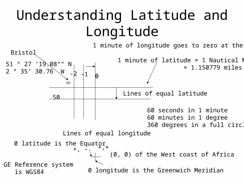
Understanding Latitude and Longitude
Lines of equal latitude
Lines of equal longitude
(0, 0) of the West coast of Africa
0 longitude is the Greenwich Meridian
0 latitude is the Equator+,++, -
Bristol
51 ° 27 ‘19.08 “ N2 ° 35’ 30.76” W
1 minute of latitude = 1 Nautical Mile = 1.150779 miles
60 seconds in 1 minute60 minutes in 1 degree360 degrees in a full circle
1 minute of longitude goes to zero at the poles
50
0-1-2
GE Reference system is WGS84
Geocoding
• To determine the latitude and longitude of an address or postcode
• US zipcodes geocoded
• UK Postcodes – commercially available in bulk– Individual geocoding in Google Earth, Google
Map
• ? Other countries.

Advanced Google Earth
• Icons– Style can be designed
• For each Placemark• For a set of placemarks by creating a style with an
id• Small icons can be selected from the big pallette
png’s – each is 32* 32 pixels, arranged in 8 rows of 8, numbered 0- 7 from the bottom-left.
• Specific icons can be selected with the appropriate x, y, h, w parameters
XML
• Well-formed– Tags nested, attributes quoted, single root
• ‘Self-describing’– So you can guess at the meaning of each item of data
• Terms– Root– Element– Attribute– Child and Parent– Typed values and CDATA
• Draw a diagram (however you like) to show the general structure of a kml file
• Review the structures

Using an XML database
• kml is just text, so any scripting programme can generate it (PHP, ASP JSP etc)
• kml is XML so any XML tools can process it
• an XML database– Stores XML documents (and other things)– Provides an XQuery interpreter to query the
documents and to generate new documents.

Exist database
• Exist: http://exist-db.org/• Working System: Students Online • My links: http://www.cems.uwe.ac.uk/~cjwallac/NXD/index.htm• Student server
http://studentexistdb.cems.uwe.ac.uk:8080/exist/index.xml• Sandbox interface for executing simple queries• Admin interface for browsing collections• JavaStart interface for adding resources, XML files and XQuery files
to the database
XPath
• A language for selecting nodes in a tree structure - Trees
XQuery
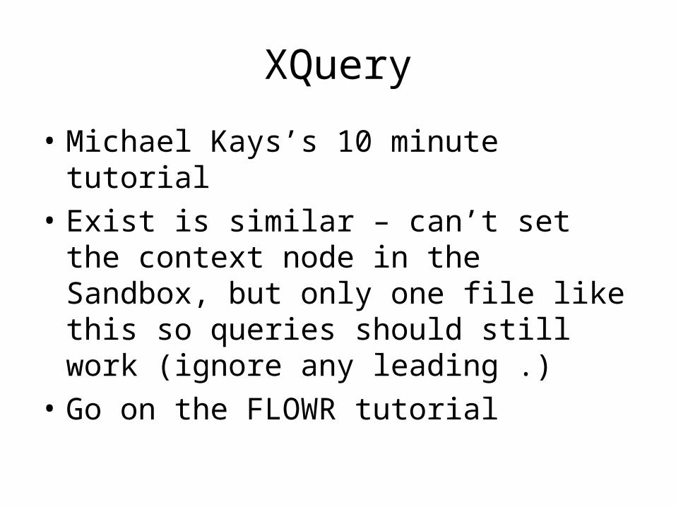
• Michael Kays’s 10 minute tutorial
• Exist is similar – can’t set the context node in the Sandbox, but only one file like this so queries should still work (ignore any leading .)
• Go on the FLOWR tutorial
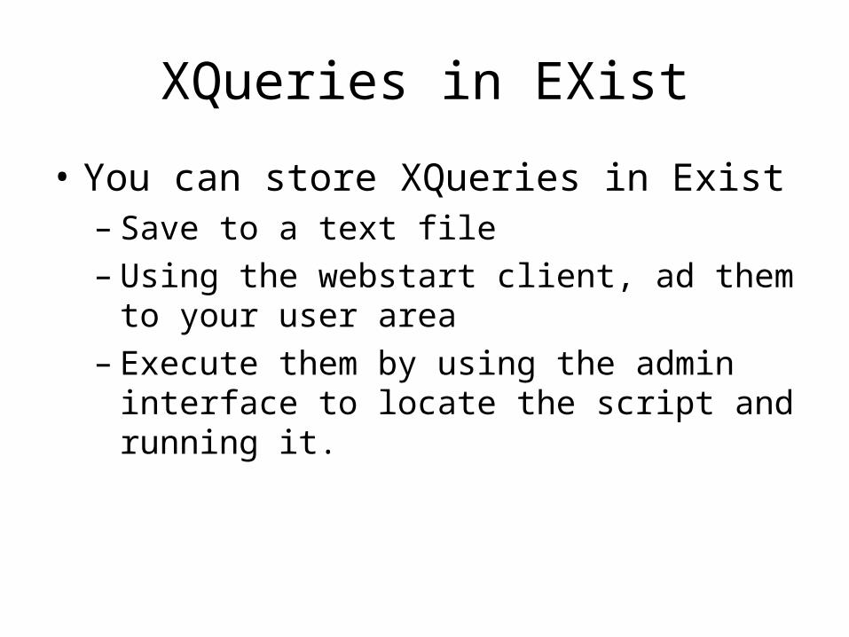
XQueries in EXist
• You can store XQueries in Exist– Save to a text file– Using the webstart client, ad them to your
user area– Execute them by using the admin interface to
locate the script and running it.
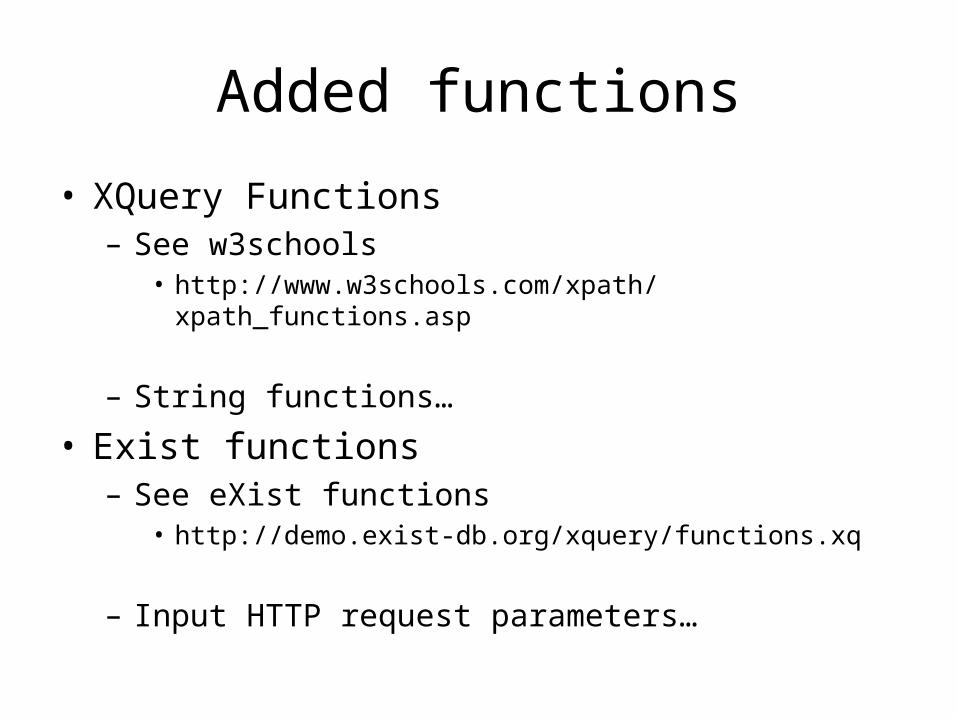
Added functions
• XQuery Functions– See w3schools
• http://www.w3schools.com/xpath/xpath_functions.asp
– String functions…
• Exist functions– See eXist functions
• http://demo.exist-db.org/xquery/functions.xq
– Input HTTP request parameters…

Example
• Trip spreadsheet
• Trip2kml.xql
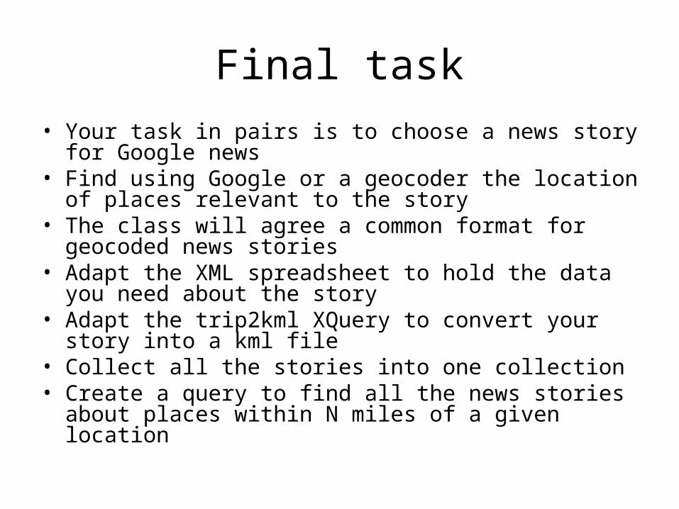
Final task
• Your task in pairs is to choose a news story for Google news
• Find using Google or a geocoder the location of places relevant to the story
• The class will agree a common format for geocoded news stories
• Adapt the XML spreadsheet to hold the data you need about the story
• Adapt the trip2kml XQuery to convert your story into a kml file
• Collect all the stories into one collection• Create a query to find all the news stories about places
within N miles of a given location