
Low water challenges in Inland Navigation
20
Low water challenges in Inland Navigation Marleen Buitendijk 1 van 20
Transcript of Low water challenges in Inland Navigation

Low water challenges in Inland Navigation
Marleen Buitendijk
1 van 20

The beautiful story of inland navigation
2 van 20

January all dams closed for high water ‐ 7 months of low water period
Bron: Weekblad Schuttevaer
2018 a view in a future with climate change
Foto: Schuttevaer en Evert van Balen3 van 20

Foto: ©lamax/Fotolia
Challenges
• Navigation challenges• River management challenges• Information technology challenges• Ship technology challenges
4 van 20

Navigation: all actions the skipper must perform to bring the vessel "safely" from the place of departure to the place of arrival.
Navigation
5 van 20

Meanderende rivier, bron: bron: www.degeo‐online.nl http://somegeographyannalikes.blogspot.com/
Navigating is using the forces of nature.
Skipper “reads” the river
6 van 20

Bernoulli's principle states that an increase in the speed of a fluid occurs simultaneously with a decrease of the water surface.
Bron: EOC
Current patterns of ships
Ontmoeten
Oplopen
7 van 20

The squat effect is the hydrodynamic phenomenon by which a vessel moving quickly through shallow water creates an area of lowered pressure that causes the ship to be closer to the riverbed than would otherwise be expected.
Bron: STC
Current patterns of shipsSquat
8 van 20

Bron: Jan Boer
Nautical Challenges
• Keel clearence• Narrow fairway• Congestion• Complex navigation
9 van 20

Foto: ©lamax/Fotolia
Challenges in River management
• Navigation challenges• River management challenges• Information technology challenges• Ship technology challenges
10 van 20
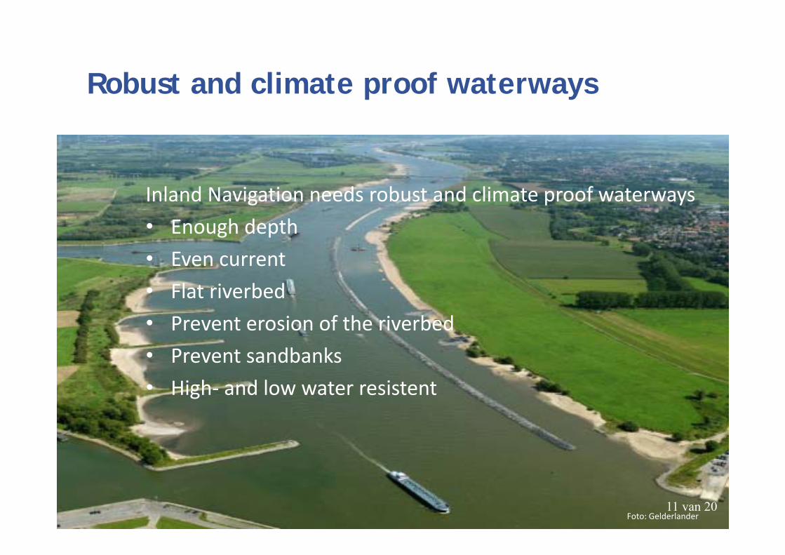
Inland Navigation needs robust and climate proof waterways• Enough depth• Even current• Flat riverbed• Prevent erosion of the riverbed• Prevent sandbanks• High‐ and low water resistent
Robust and climate proof waterways
Foto: Gelderlander11 van 20

Bron: Gelderlander
Water level Waal lower than expected
12 van 20

0
50
100
150
200
250
300
350
400
450
800 900 1000 1100 1200 1300 1400 1500 1600 1700 1800 1900 2000
Minst ge
peilde diep
te (cm)
Debiet bij Lobith (m3/s)
Debiet v.s. MGD op de Waal
MGD 2016MGD 2017MGD 2018280 cm1020 m3/secLinear (MGD 2017)Linear (MGD 2018)
Bron: Cornelis van Dorsser
Bron: Cornelis van Dorsser
Depth Waal – MGD 2,80m
13 van 20

Foto: www.h2owaternetwerk.n
Store and keep water in the system
• Improve pomp capacity by locks • More locks with water basins• Buffering of water in the system (extend the water cycle)
14 van 20

Integral River Management - IRM
Foto: www.h2owaternetwerk.n15 van 20
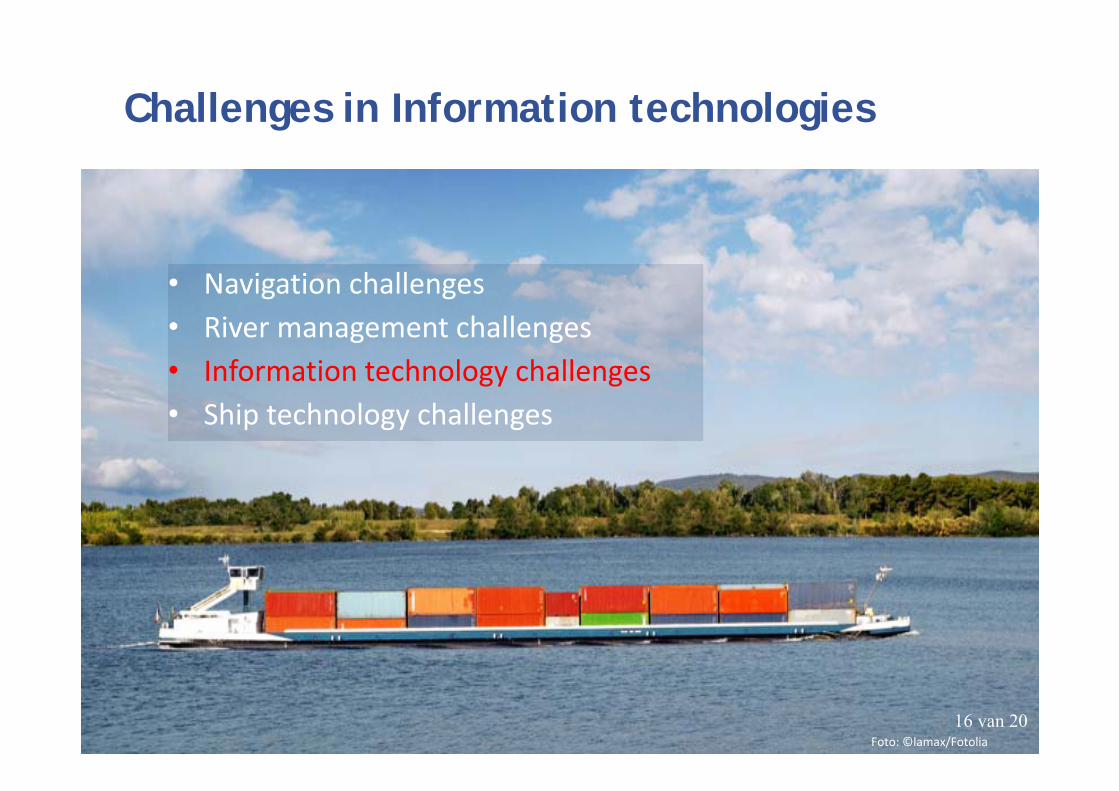
Foto: ©lamax/Fotolia
Challenges in Information technologies
• Navigation challenges• River management challenges• Information technology challenges• Ship technology challenges
16 van 20

Draught information – MGD en MGD
• Realtime draught data• Connecting data – Covadem, authorities, dredging compagnies• Long term water forecasts• MGD in more places• Early publicity in a wide range 17 van 20

Foto: ©lamax/Fotolia
Challenges in Ship technology
• Navigation challenges• River management challenges• Information technologies challenges• Ship technology challenges
18 van 20

What can the inland shipping industry do?
• Decrease depth• Increase the turnover rate• Increase capacity ‐ push barges• Build ships that are more resistant to low water levels• Alternative propulsion techniques
Bron:www.stad‐en‐groen.nl19 van 20

There is enough space on the waterways to contribute to society wide issues as road traffic congestion and CO2 reduction. But will there be enough water in the river to make it happen?
Bron: AD 20 aug 2018 © Ricado Smit20 van 20