![San Francisco Bay Living Shorelines: Nearshore Linkages Project … · [NOAA] 2015 for an overview). The term “living shorelines” denotes provision of living space and support](https://static.fdocuments.in/doc/165x107/5fcc3eff2f69ca6b28013821/san-francisco-bay-living-shorelines-nearshore-linkages-project-noaa-2015-for.jpg)
Living shorelines website
26
Living Shorelines Website Final Report To Virginia Coastal Zone Management Program Center for Coastal Resources Management Virginia Institute of Marine Science December 2010
Transcript of Living shorelines website

Living Shorelines Website
Final Report
To
Virginia Coastal Zone Management Program
Center for Coastal Resources Management
Virginia Institute of Marine Science
December 2010

This report serves as the final report for the Living Shorelines website revisions project funded by the Virginia Coastal Zone Management Program through NOAA. The project was task 94.04 Fy2009.
The Center for Coastal Resources Management (CCRM) has completed work on a new, revised, Living Shorelines website served through the CCRM subsite on the Virginia Institute of Marine Science website.
Feedback on our previous website was that it was a bit confusing in the navigation and lacked some of the information folks needed. To seek input on the format and content of the new site we conducted 3 focus group meetings of agencies folks, contractors, and representatives of non-governmental groups and the general public. Input from the focus groups was valuable to the final website design and content.
Changes from the original site are great in terms of the amount of information and the degree of detail. Most notable is the addition of detailed descriptions of various living shoreline options and accompanying photographs of actual projects over time. We also are serving a forum to enable interested parties to post and respond to questions regarding living shorelines.
The website was highlighted in a presentation at the CCRM/ VIMS biannual Wetlands Workshop on November 4th, 2010 attended by 80 people. We also distributed a brochure created and printed with previous VCZMP funding that advertises the concept of living shorelines and points people to the website for additional information.
The remaining content herein is the presentation made at the Nov.4 workshop.
The website is http://ccrm.vims.edu/livingshorelines/index.html
This project was funded, in part, by the Virginia Coastal Zone Management Program at the Department of
Environmental Quality through Grant #NA NA09NOS4190163 of the U.S. Department of Commerce, National
Oceanic and Atmospheric Administration, under the Coastal Zone Management Act of 1972, as amended.

LIVING SHORELINES
WEBSITE 2010
Preserving our coasts one shoreline at a timeKaren Reay
November 2010

Problem: Old LS Site Good But
Needed Improvement

Steps in the Project
Funding from Virginia Coastal Zone Management
Program for:
3 targeted user group meetings,
website revision, and
tri-fold brochure advertising the new Living Shorelines
Website.
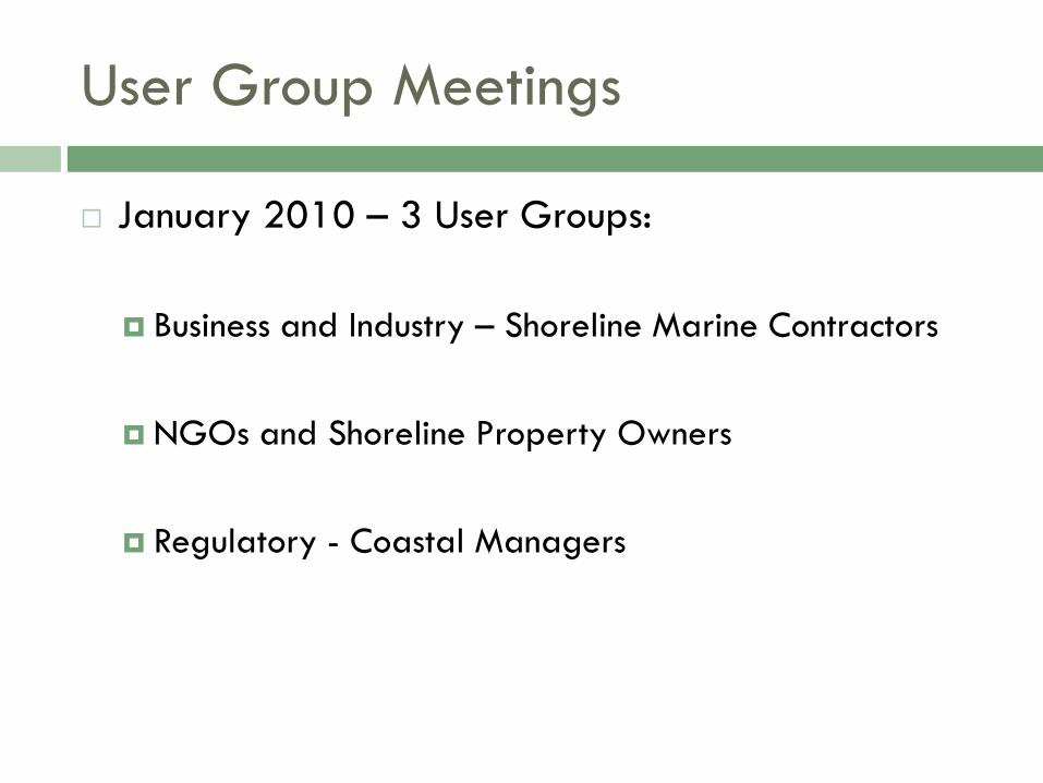
User Group Meetings
January 2010 – 3 User Groups:
Business and Industry – Shoreline Marine Contractors
NGOs and Shoreline Property Owners
Regulatory - Coastal Managers
LS Website Development
After consideration of comments from all user group
meetings, modifications were made to the living
shorelines website to improve functionality and ease
of use
Improvement classifications: revised site architecture,
better navigational flow, improved links, new
information, and more graphics/photos

Specific Modifications
Better guidance for property owners on the main page – directs right to
the FAQ section with questions that drop to anchored answers or links to
more information within the site.
A decision tree that helps coastal property owners and managers
determine the environmentally preferred approach to protecting currently
undefended shorelines, given specific site conditions.
An extensive design and build criteria for nonstructural and structural
shoreline treatment options. Nonstructural: vegetation management,
planted marsh, fiber logs, bank grading, beach nourishment and dune
restoration. Structural/Hybrid: marsh toe revetment with natural marsh,
marsh sill with planted marsh, offshore breakwater system, oyster reef. Each
section includes information on suitable sites, guidelines for consideration,
and photographic examples.
A permits section related to living shorelines.
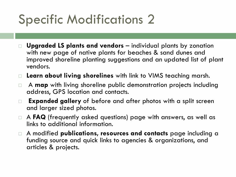
Specific Modifications 2
Upgraded LS plants and vendors – individual plants by zonationwith new page of native plants for beaches & sand dunes and improved shoreline planting suggestions and an updated list of plant vendors.
Learn about living shorelines with link to VIMS teaching marsh.
A map with living shoreline public demonstration projects including address, GPS location and contacts.
Expanded gallery of before and after photos with a split screen and larger sized photos.
A FAQ (frequently asked questions) page with answers, as well as links to additional information.
A modified publications, resources and contacts page including a funding source and quick links to agencies & organizations, and articles & projects.

Living Shorelines 2010
Old Home Page New Home Page
FAQ
Pointer
Better
navigation

Living Shorelines 2010
Design Options
Old Design Options New Design Options
Decision Tree

Within Design Options
First – Nonstructural Landing Page
Link to subpage

Within Design Options - Subpage
Second: Instructional Page –Planted Marsh
Guidelines
Suitable sites
Example Gallery

Within Design Options (scrolled page)
Scroll Down of Planted Marsh Sub-
Page with Informative Photos

New Permitting Page
Permitting page with specifics for living shorelines (local govt permitting agency for riparian buffer modifications and tidal wetlands and VMRC permitting agency for subaqueous modifications)

Updated Plants & Vendors
Updated with beach & dune plants and plants by zonation
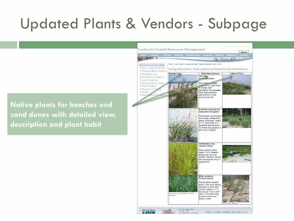
Updated Plants & Vendors - Subpage
Native plants for beaches and
sand dunes with detailed view,
description and plant habit
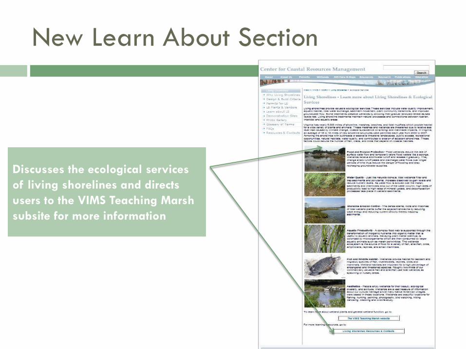
New Learn About Section
Discusses the ecological services
of living shorelines and directs
users to the VIMS Teaching Marsh
subsite for more information

New Demonstration Area Maps
Google interactive map with target
living shoreline demonstration areas
and table of contact information

Living Shorelines 2010
Old Photo Gallery New Photo Gallery
Expanded before &
after sections

New Glossary of Terms
Glossary of terms and definitions
related to coastal structures
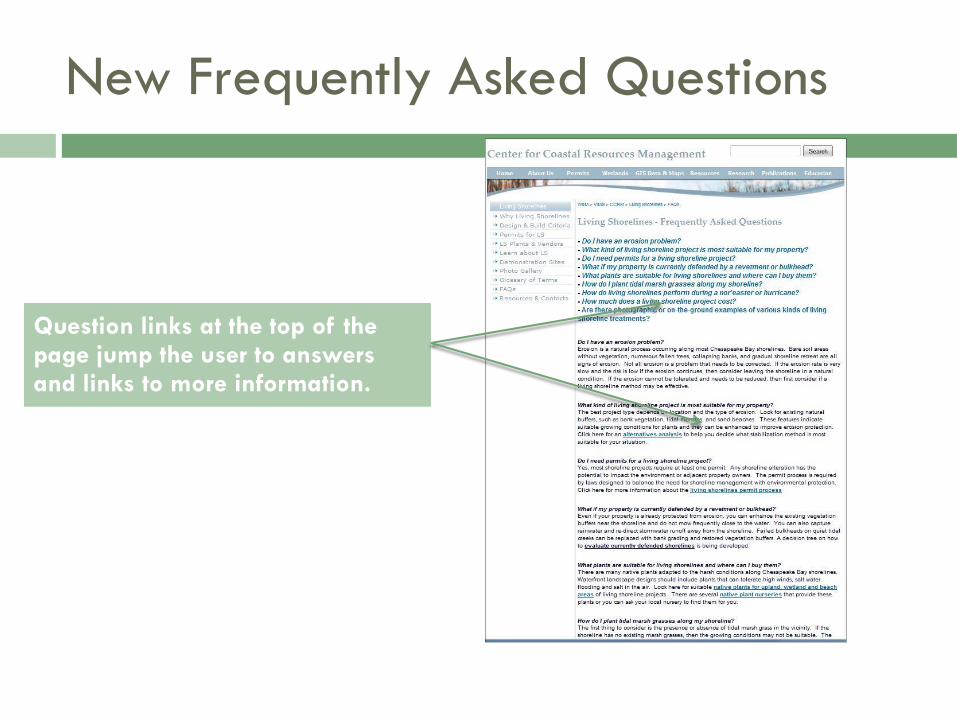
New Frequently Asked Questions
Question links at the top of the page jump the user to answers and links to more information.

Living Shorelines 2010
Old Agencies New Resources and Contacts
Quicklinks
Publication thumbnails
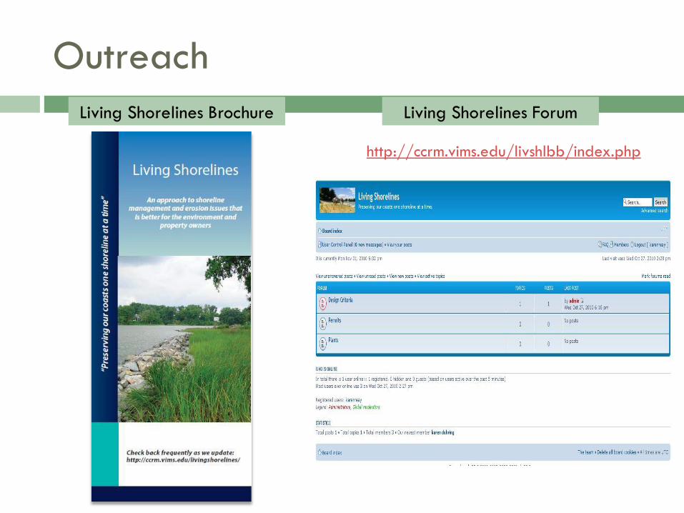
Outreach
Living Shorelines Brochure Living Shorelines Forum
http://ccrm.vims.edu/livshlbb/index.php

What’s in it for you?
An online resource for shoreline property owners, permit
applicants, and managers to obtain information or photos
related to living shorelines
Steering the public toward a shoreline management option that
improves ecological services - marine habitat and spawning
areas, improves water quality, reduces bank erosion and
property loss, reduces marine debris due to storm damage,
and provides a natural attractive appearance
An answer for coastal erosion that preserves the connection
of the water to the shoreline, marshes and wetlands

LIVING SHORELINES WEBSITE 2010
HTTP://CCRM.VIMS.EDU/LIVINGSHORELINES
Preserving our coasts one shoreline at a time