Learning About the Physical Geography of Southwest and ... · Learning About the Physical Geography...
2
18 Southwest and Central Asia Mapping Lab © Teachers’ Curriculum Institute Challenge 1 Southwest and Central Asia Directions Learning About the Physical Geography of Southwest and Central Asia 1 1. Get your copy of the unlabeled physical features map for the Southwest and Central Asia Mapping Lab, Challenge 1. 2. Select one of the physical features listed below. Find it on a physical map of Southwest and Central Asia in Geography Alive! Regions and People. 3. Locate and label that same feature on your Challenge 1 map. (Hint: Is there no room to write your label? Draw a line from the feature to a place where you have more room to write.) 4. Repeat Steps 2 and 3 until you have found and labeled all 15 physical features. Physical Features of Southwest and Central Asia A set of latitude and longitude coordinates is given for each feature. If you have trouble finding a feature, the coordinates will help you get close to its location. 1. Arabian Peninsula (25°N, 45°E) 2. Kazakh Upland (49°N, 75°E) 3. Zagros Mountains (33°N, 50°E) 4. Caucasus Mountains (42°N, 45°E) 5. Hindu Kush (35°N, 70°E) 6. Caspian Sea (45°N, 50°E) 7. Aral Sea (45°N, 60°E) 8. Persian Gulf (28°N, 50°E) 9. Tigris River (33°N, 45°E) 10. Arabian Sea (20°N, 65°E) 11. Dead Sea (31°N, 35°E) 12. Indus River (27°N, 68°E) 13. Anatolia Plateau (40°N, 35°E) 14. Gulf of Oman (25°N, 58°E) 15. Euphrates River (31°N, 45°E)
Transcript of Learning About the Physical Geography of Southwest and ... · Learning About the Physical Geography...
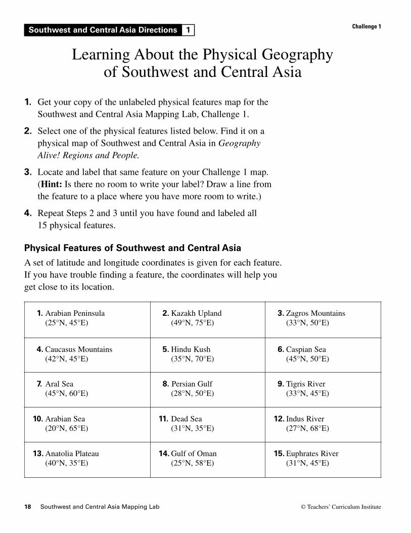
18 Southwest and Central Asia Mapping Lab © Teachers’ Curriculum Institute
Challenge 1Southwest and Central Asia Directions
Learning About the Physical Geography of Southwest and Central Asia
1
1. Get your copy of the unlabeled physical features map for theSouthwest and Central Asia Mapping Lab, Challenge 1.
2. Select one of the physical features listed below. Find it on aphysical map of Southwest and Central Asia in GeographyAlive! Regions and People.
3. Locate and label that same feature on your Challenge 1 map. (Hint: Is there no room to write your label? Draw a line fromthe feature to a place where you have more room to write.)
4. Repeat Steps 2 and 3 until you have found and labeled all 15 physical features.
Physical Features of Southwest and Central AsiaA set of latitude and longitude coordinates is given for each feature.If you have trouble finding a feature, the coordinates will help youget close to its location.
1. Arabian Peninsula (25°N, 45°E)
2. Kazakh Upland (49°N, 75°E)
3. Zagros Mountains (33°N, 50°E)
4. Caucasus Mountains (42°N, 45°E)
5. Hindu Kush (35°N, 70°E)
6. Caspian Sea (45°N, 50°E)
7. Aral Sea (45°N, 60°E)
8. Persian Gulf (28°N, 50°E)
9. Tigris River (33°N, 45°E)
10. Arabian Sea (20°N, 65°E)
11. Dead Sea (31°N, 35°E)
12. Indus River (27°N, 68°E)
13. Anatolia Plateau (40°N, 35°E)
14. Gulf of Oman (25°N, 58°E)
15. Euphrates River (31°N, 45°E)
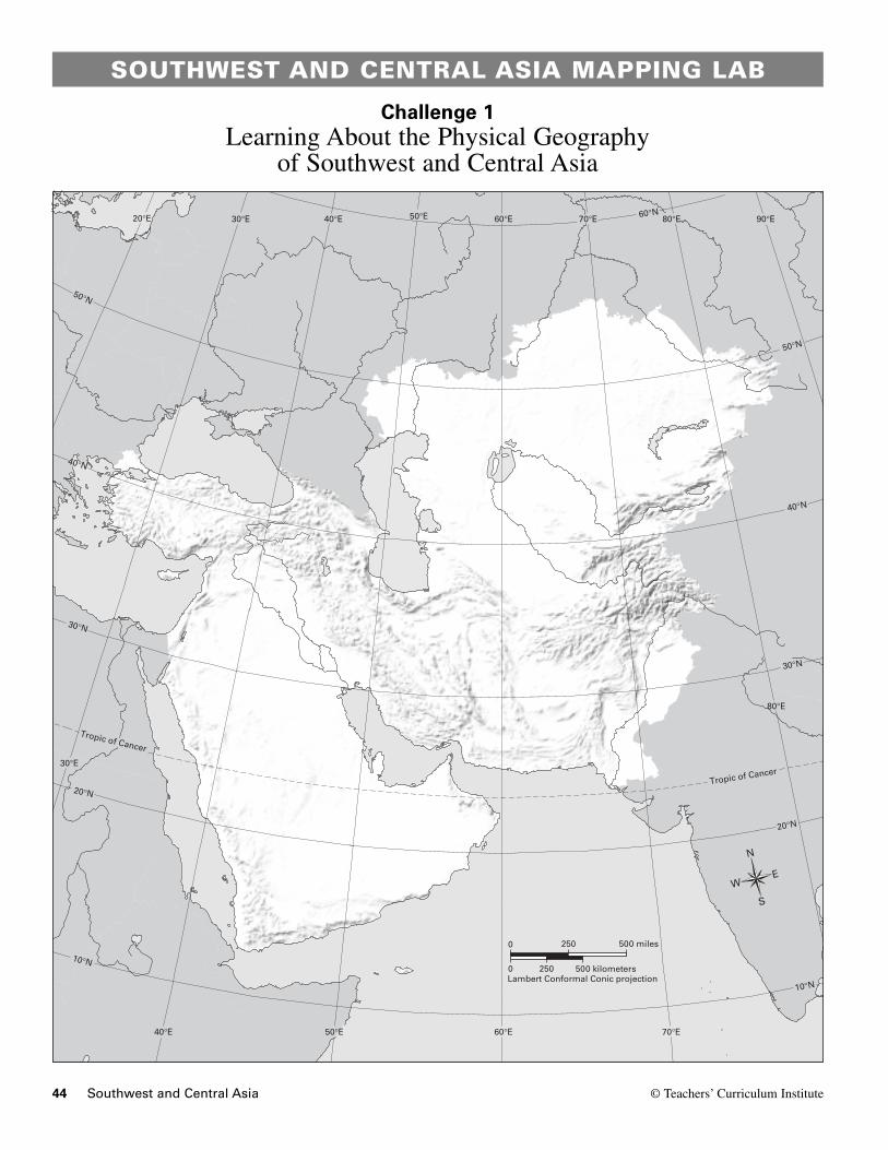
44 Southwest and Central Asia © Teachers’ Curriculum Institute
SOUTHWEST AND CENTRAL ASIA MAPPING LAB
Challenge 1Learning About the Physical Geography
of Southwest and Central Asia
30°N
40°N
50°N
20°N
10°N
Tropic of Cancer
20°E 30°E 40°E 50°E 60°E 70°E 80°E 90°E
50°N
60°N
40°N
30°N
Tropic of Cancer
20°N
10°N
60°E 70°E
80°E
50°E40°E
30°E
N
S
EW
0 500 kilometers
0 500 miles
Lambert Conformal Conic projection250
250
TCI5 579GA_LM_06-CH-1.epsFirst proof