
Land Consolidation Web Portal - fao.org
25
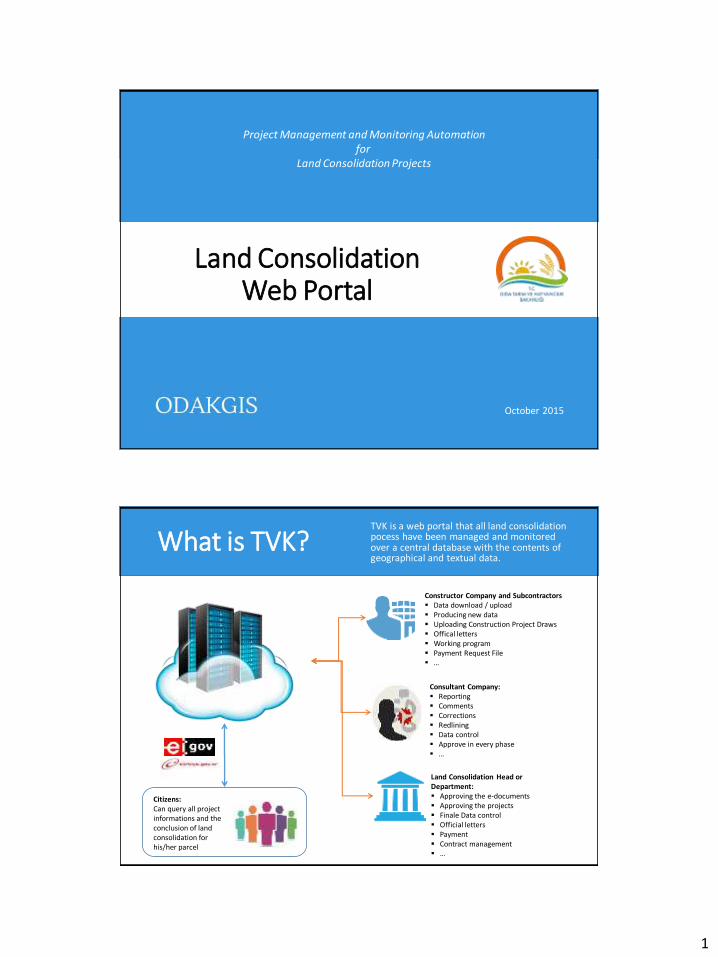
1 Click to edit Master title style Land Consolidation Web Portal October 2015 Project Management and Monitoring Automation for Land Consolidation Projects Click to edit Master title style What is TVK? TVK is a web portal that all land consolidation pocess have been managed and monitored over a central database with the contents of geographical and textual data. Citizens: Can query all project informations and the conclusion of land consolidation for his/her parcel Consultant Company: Reporting Comments Corrections Redlining Data control Approve in every phase … Land Consolidation Head or Department: Approving the e-documents Approving the projects Finale Data control Official letters Payment Contract management … Constructor Company and Subcontractors Data download / upload Producing new data Uploading Construction Project Draws Offical letters Working program Payment Request File …
Transcript of Land Consolidation Web Portal - fao.org
1
Click to edit Master title style
Land Consolidation Web Portal
October 2015
Project Management and Monitoring Automation for
Land Consolidation Projects
Click to edit Master title style What is TVK? TVK is a web portal that all land consolidation pocess have been managed and monitored over a central database with the contents of geographical and textual data.
Citizens: Can query all project informations and the conclusion of land consolidation for his/her parcel
Consultant Company: Reporting Comments Corrections Redlining Data control Approve in every phase …
Land Consolidation Head or Department: Approving the e-documents Approving the projects Finale Data control Official letters Payment Contract management …
Constructor Company and Subcontractors Data download / upload Producing new data Uploading Construction Project Draws Offical letters Working program Payment Request File …
2
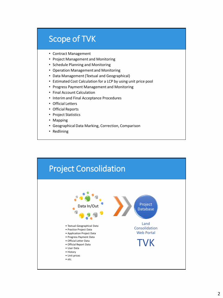
Click to edit Master title style Scope of TVK
• Contract Management
• Project Management and Monitoring
• Schedule Planning and Monitoring
• Operation Management and Monitoring
• Data Management (Textual and Geographical)
• Estimated Cost Calculation for a LCP by using unit price pool
• Progress Payment Management and Monitoring
• Final Account Calculation
• Interim and Final Acceptance Procedures
• Official Letters
• Official Reports
• Project Statistics
• Mapping
• Geographical Data Marking, Correction, Comparison
• Redlining
Click to edit Master title style Project Consolidation
Data In/Out
• Textual-Geographical Data
• Practice Project Data
• Application Project Data
• Progress Payment Data
• Official Letter Data
• Official Report Data
• User Data
• History
• Unit prices
• etc.
Project Database
Land Consolidation
Web Portal
TVK
3
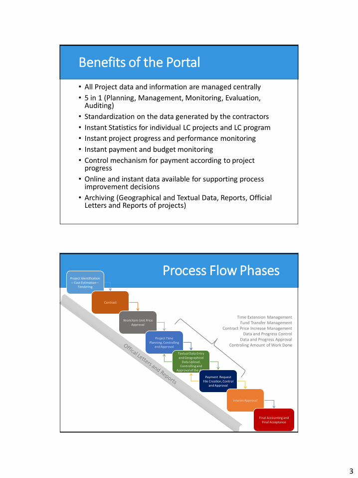
Click to edit Master title style Benefits of the Portal
• All Project data and information are managed centrally
• 5 in 1 (Planning, Management, Monitoring, Evaluation, Auditing)
• Standardization on the data generated by the contractors
• Instant Statistics for individual LC projects and LC program
• Instant project progress and performance monitoring
• Instant payment and budget monitoring
• Control mechanism for payment according to project progress
• Online and instant data available for supporting process improvement decisions
• Archiving (Geographical and Textual Data, Reports, Official Letters and Reports of projects)
Click to edit Master title style Process Flow Phases
Time Extension Management Fund Transfer Management
Contract Price Increase Management Data and Progress Control
Data and Progress Approval Controling Amount of Work Done
Project Identification – Cost Estimation –
Tendering
Contract
Work Item Unit Price Approval
Project Time Planning, Controlling
and Approval
Textual Data Entry and Geographical
Data Upload, Controlling and
Approval of the data
Payment Request File Creation, Control
and Approval
Interim Approval
Final Accounting and Final Acceptance
4
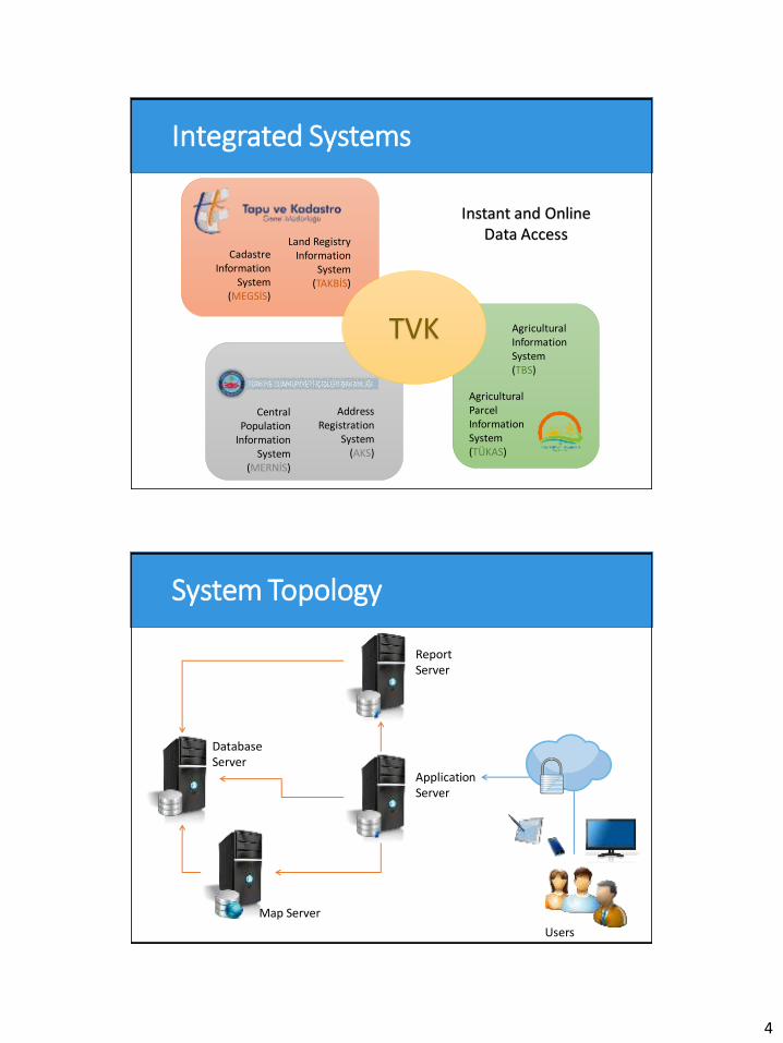
Click to edit Master title style Integrated Systems
Address Registration
System (AKS)
Central Population
Information System
(MERNİS)
Land Registry Information
System (TAKBİS)
Cadastre Information
System (MEGSİS)
Agricultural Parcel Information System (TÜKAS)
Agricultural Information System (TBS)
TVK
Instant and Online Data Access
Click to edit Master title style System Topology
Database Server
Application Server
Map Server
Report Server
Users
5
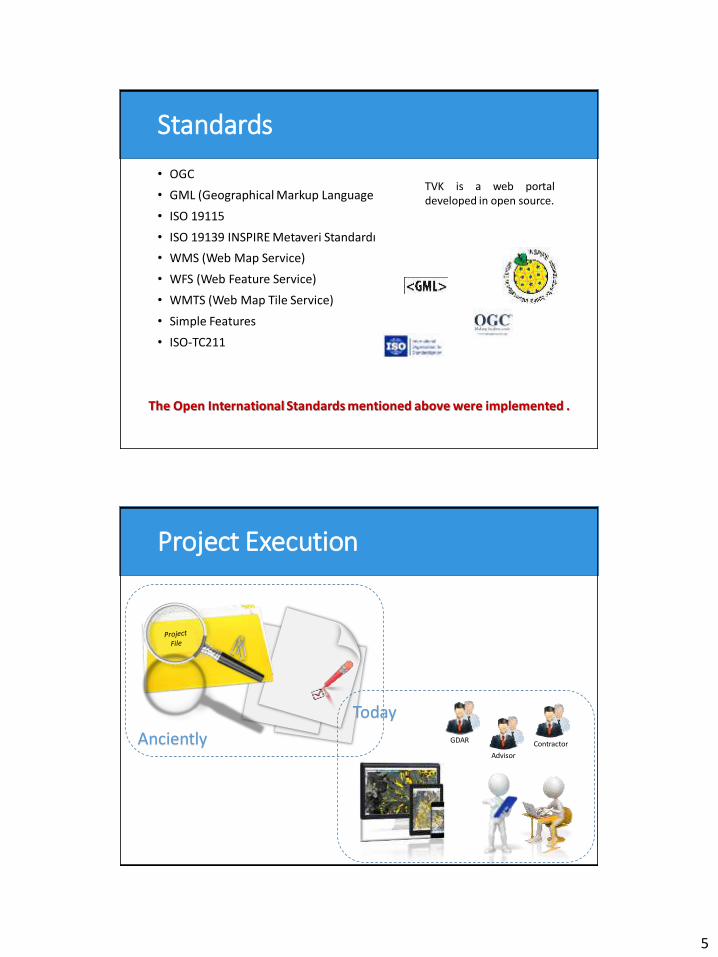
Click to edit Master title style Standards
• OGC
• GML (Geographical Markup Language
• ISO 19115
• ISO 19139 INSPIRE Metaveri Standardı
• WMS (Web Map Service)
• WFS (Web Feature Service)
• WMTS (Web Map Tile Service)
• Simple Features
• ISO-TC211
TVK is a web portal developed in open source.
The Open International Standards mentioned above were implemented .
Click to edit Master title style Project Execution
Anciently GDAR
Today
Contractor
Advisor
6
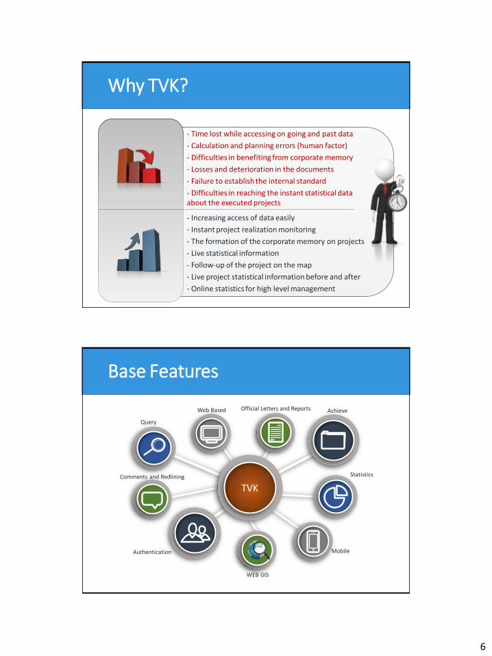
Click to edit Master title style Why TVK?
- Time lost while accessing on going and past data
- Calculation and planning errors (human factor)
- Difficulties in benefiting from corporate memory
- Losses and deterioration in the documents
- Failure to establish the internal standard
- Difficulties in reaching the instant statistical data about the executed projects
- Increasing access of data easily
- Instant project realization monitoring
- The formation of the corporate memory on projects
- Live statistical information
- Follow-up of the project on the map
- Live project statistical information before and after
- Online statistics for high level management
Click to edit Master title style Base Features
TVK
Query
Statistics
Official Letters and Reports Achieve Web Based
Mobile
WEB GIS
Authentication
Comments and Redlining
7
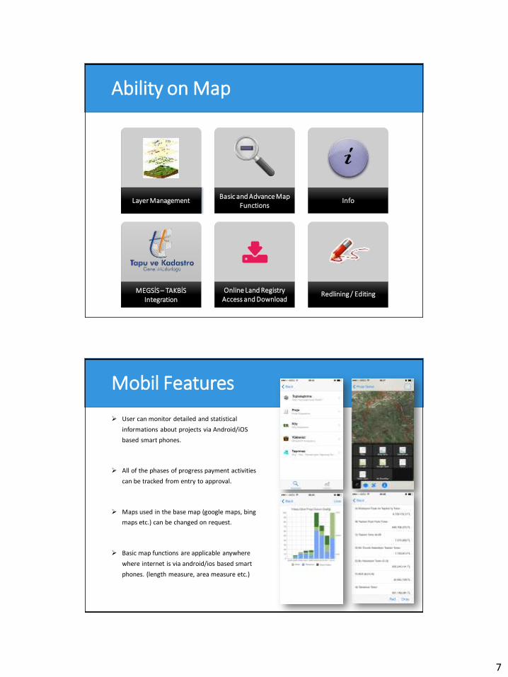
Click to edit Master title style Ability on Map
Face to face Basic and Advance Map
Functions Info
MEGSİS – TAKBİS Integration
Online Land Registry Access and Download
Redlining / Editing
Layer Management
i
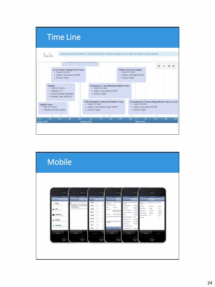
Click to edit Master title style Mobil Features
User can monitor detailed and statistical
informations about projects via Android/iOS
based smart phones.
All of the phases of progress payment activities
can be tracked from entry to approval.
Maps used in the base map (google maps, bing
maps etc.) can be changed on request.
Basic map functions are applicable anywhere
where internet is via android/ios based smart
phones. (length measure, area measure etc.)
8
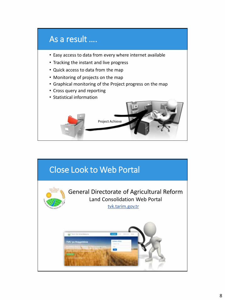
Click to edit Master title style As a result ….
• Easy access to data from every where internet available
• Tracking the instant and live progress
• Quick access to data from the map
• Monitoring of projects on the map
• Graphical monitoring of the Project progress on the map
• Cross query and reporting
• Statistical information
Project Achieve
Click to edit Master title style Close Look to Web Portal
tvk.tarim.gov.tr
General Directorate of Agricultural Reform Land Consolidation Web Portal
9
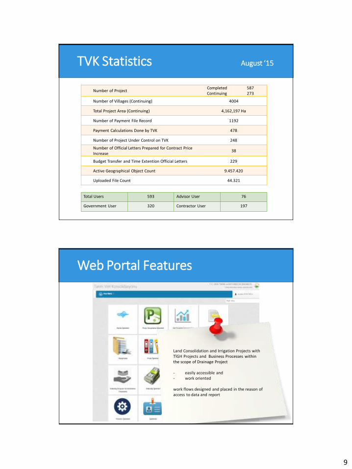
Click to edit Master title style TVK Statistics August ‘15
Number of Project Completed Continuing
587 273
Number of Villages (Continuing) 4004
Total Project Area (Continuing) 4,162,197 Ha
Number of Payment File Record 1192
Payment Calculations Done by TVK 478
Number of Project Under Control on TVK 248
Number of Official Letters Prepared for Contract Price Increase
38
Budget Transfer and Time Extention Official Letters 229
Active Geographical Object Count 9.457.420
Uploaded File Count 44.321
Total Users 593 Advisor User 76
Government User 320 Contractor User 197
Click to edit Master title style Web Portal Features
Land Consolidation and Irrigation Projects with TİGH Projects and Business Processes within the scope of Drainage Project - easily accessible and - work oriented work flows designed and placed in the reason of access to data and report
10
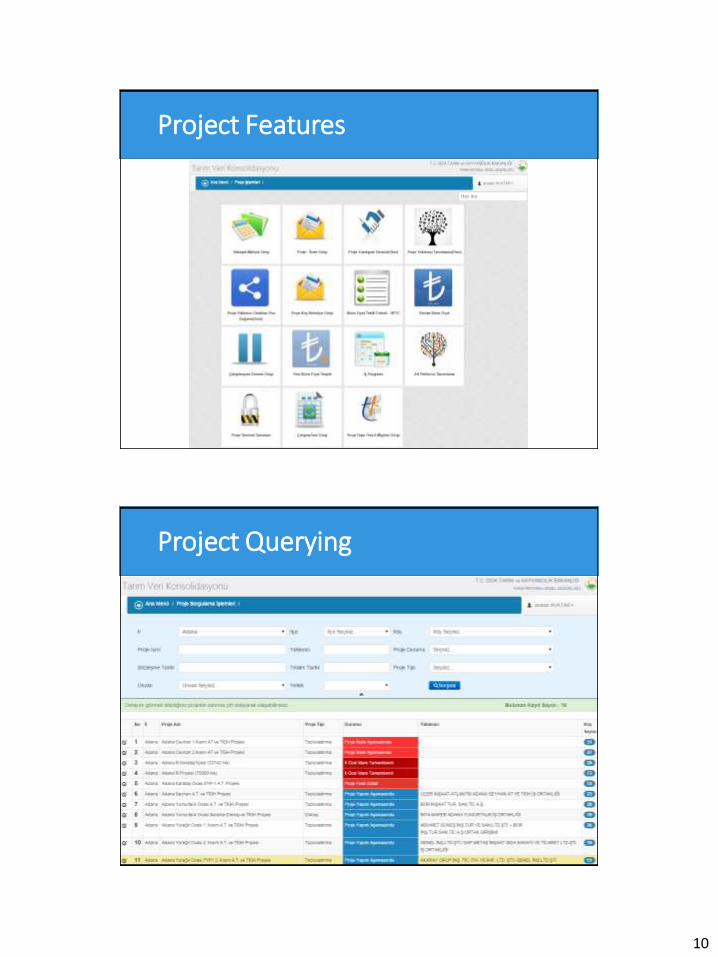
Click to edit Master title style Project Features
Click to edit Master title style Project Querying
11
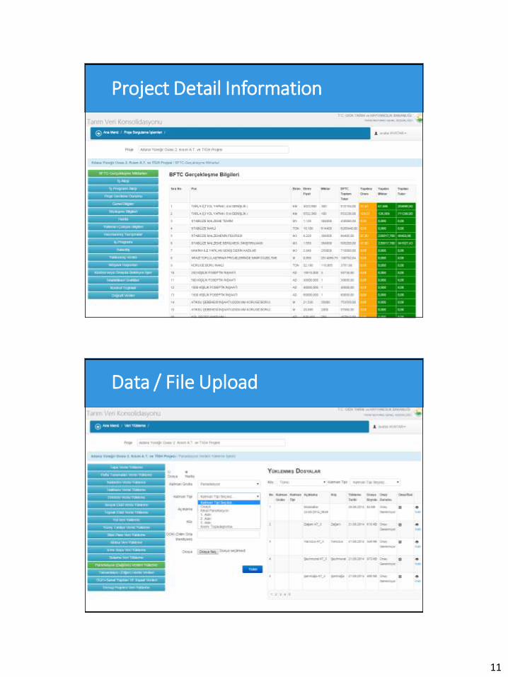
Click to edit Master title style Project Detail Information
Click to edit Master title style Data / File Upload
12
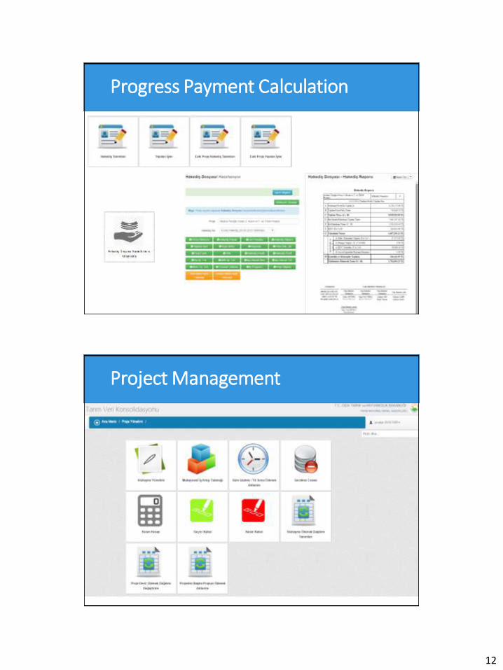
Click to edit Master title style Progress Payment Calculation
Click to edit Master title style Project Management
13
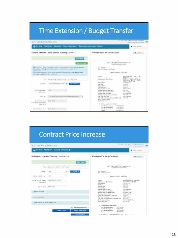
Click to edit Master title style Time Extension / Budget Transfer
Click to edit Master title style Contract Price Increase
14
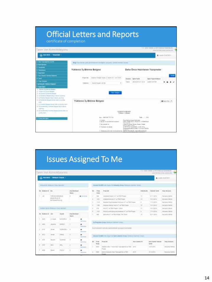
Click to edit Master title style Official Letters and Reports certificate of completion
Click to edit Master title style Issues Assigned To Me
15
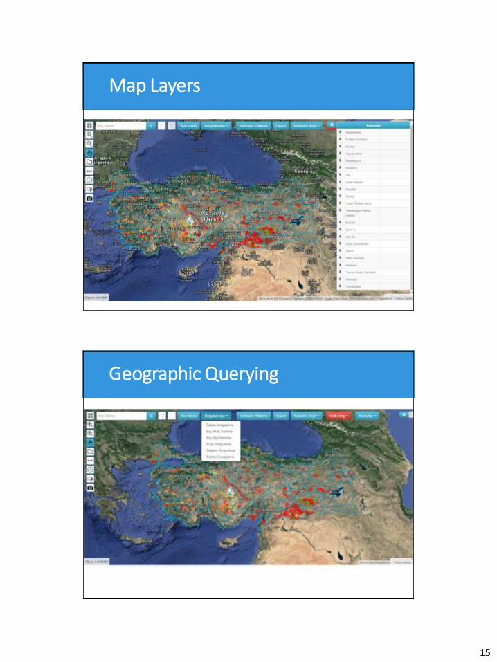
Click to edit Master title style Map Layers
Click to edit Master title style Geographic Querying
16
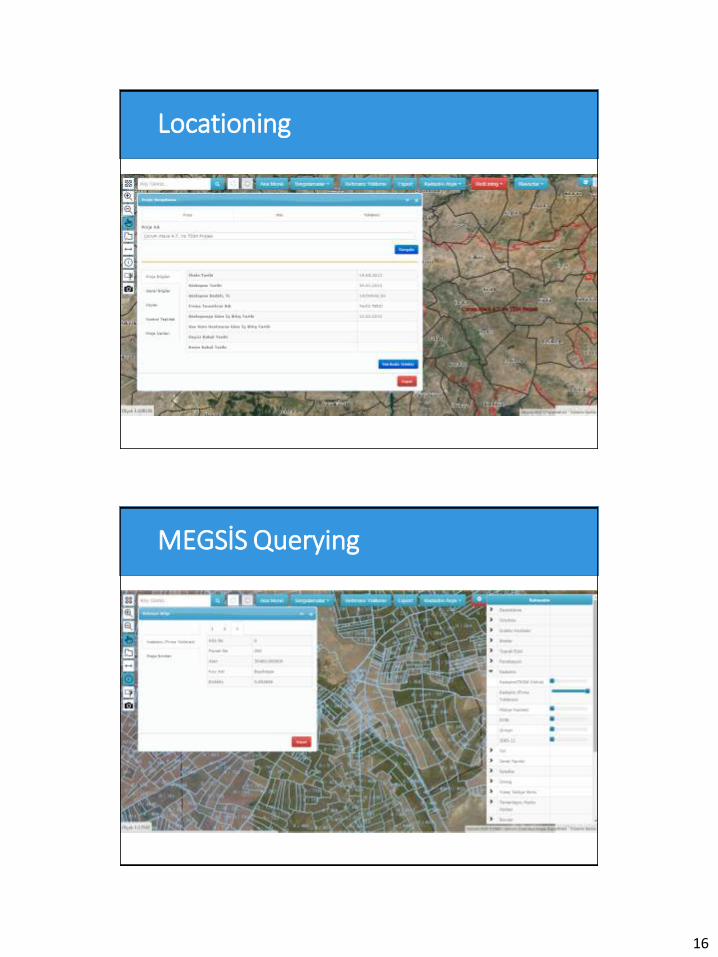
Click to edit Master title style Locationing
Click to edit Master title style MEGSİS Querying
17
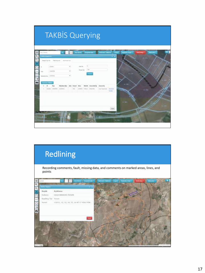
Click to edit Master title style TAKBİS Querying
Click to edit Master title style Redlining
Recording comments, fault, missing data, and comments on marked areas, lines, and points
18
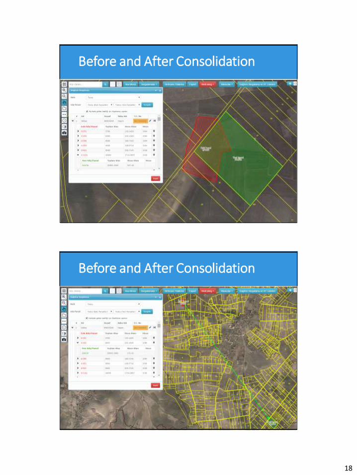
Click to edit Master title style Before and After Consolidation
Click to edit Master title style Before and After Consolidation
19
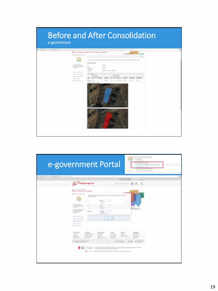
Click to edit Master title style Before and After Consolidation e-government
Click to edit Master title style e-government Portal
20
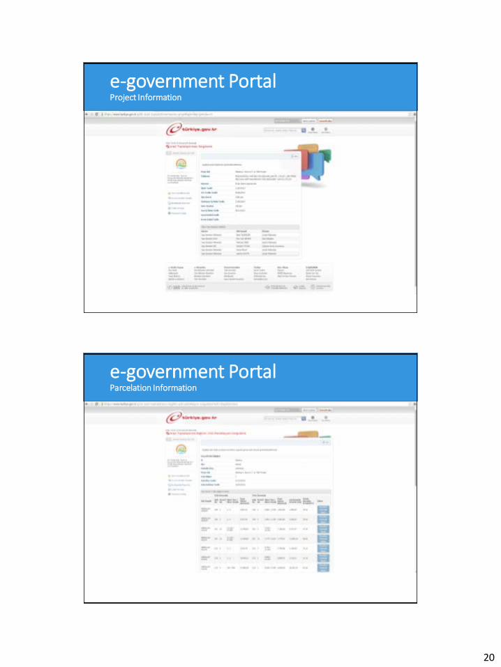
Click to edit Master title style e-government Portal Project Information
Click to edit Master title style e-government Portal Parcelation Information
21
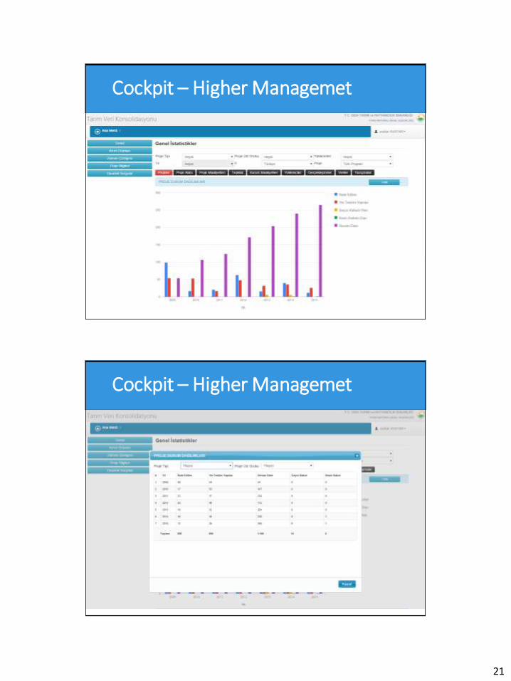
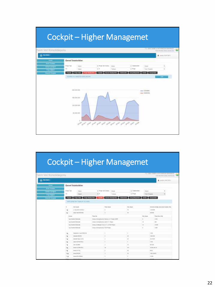
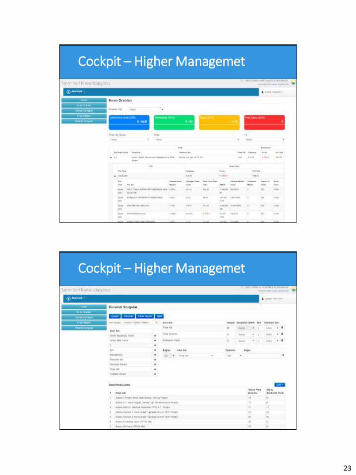
Click to edit Master title style Cockpit – Higher Managemet
Click to edit Master title style Cockpit – Higher Managemet
22
Click to edit Master title style Cockpit – Higher Managemet
Click to edit Master title style Cockpit – Higher Managemet
23
Click to edit Master title style Cockpit – Higher Managemet
Click to edit Master title style Cockpit – Higher Managemet
24
Click to edit Master title style Time Line
Click to edit Master title style Mobile
25
Click to edit Master title style
Thank you for listening to us.
Questions?
Project Management and Monitoring Automation for
Land Consolidation Projects


![LAND CONSOLIDATION ACTextwprlegs1.fao.org/docs/pdf/ken62975.pdf · LAND CONSOLIDATION ACT [Date of assent:17th July, 1959.] [Date of commencement:28th July, 1959.] An Act of Parliament](https://static.fdocuments.in/doc/165x107/5e7d858bd37fff703f43b851/land-consolidation-land-consolidation-act-date-of-assent17th-july-1959-date.jpg)