Jeopardy Topographic Maps Longitude / Latitude Time Q $100 Q $200 Q $300 Q $400 Q $500 Q $100 Q $200...
53
Jeopardy Topographic Maps Maps Longitu de/ Latitud e Time Q $100 Q $200 Q $300 Q $400 Q $500 Q $100 Q $100 Q $100 Q $100 Q $200 Q $200 Q $200 Q $200 Q $300 Q $300 Q $300 Q $300 Q $400 Q $400 Q $400 Q $400 Q $500 Q $500 Q $500 Q $500 Final Jeopardy More Topograph y
-
Upload
christiana-wade -
Category
Documents
-
view
217 -
download
0
Transcript of Jeopardy Topographic Maps Longitude / Latitude Time Q $100 Q $200 Q $300 Q $400 Q $500 Q $100 Q $200...

JeopardyTopographic Maps
Maps Longitude/ Latitude
Time
Q $100
Q $200
Q $300
Q $400
Q $500
Q $100 Q $100Q $100 Q $100
Q $200 Q $200 Q $200 Q $200
Q $300 Q $300 Q $300 Q $300
Q $400 Q $400 Q $400 Q $400
Q $500 Q $500 Q $500 Q $500
Final Jeopardy
More Topography

$100 Question from Topographic Maps
Lines connecting points of equal elevation on a topographic map are called?

$100 Answer from Topographic Maps
Contour Lines

$200 Question from Topographic Maps
What is the term that describes a specific location’s height above sea level?

$200 Answer from Topographic Maps
Elevation

$300 Question from Topographic Maps
What is the vertical distance between two successive contour lines called?

$300 Answer from Topographic Maps
Contour Interval

$400 Question from Topographic Maps
What does the color black represent on a topographic map?

$400 Answer from Topographic maps
Man-made structures such as buildings

$500 Question from Topographic Maps
Every 5th contour, painted slightly darker for emphasis is called the__________.

$500 Answer from Topographic Maps
Index Line

$100 Question from Maps
The symbols used on a map are explained in the

$100 Answer from Maps
Legend
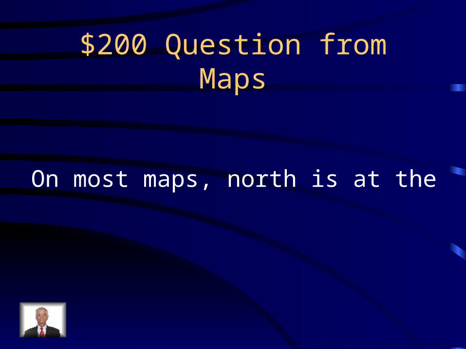
$200 Question from Maps
On most maps, north is at the

$200 Answer from Maps
Top

$300 Question from Maps
The science of making maps is called

$300 Answer from Maps
Cartography

$400 Question from Maps
Relationship between distance on a map and actual distance

$400 Answer from Maps
Scale

$500 Question from Maps
What are the cardinal directions?

$500 Answer from Maps
North, East, South, and West

$100 Question from Lat./Long.
Another name for a Latitude line is

$100 Answer from Lat./Long.
Parallel

$200 Question from Lat./Long.
Another name for a line of Longitude

$200 Answer from Lat./Long
Meridian

$300 Question from Lat./Long.
Both Latitude and Longitude lines are measured in what?

$300 Answer from Lat./Long.
Degrees

$400 Question from Lat./Long.
What are the zero degree lines called for Latitude and Longitude?

$400 Answer from Lat./Long.
Latitude- EquatorLongitude- Prime Meridian Greenwich, England

$500 Question from Lat./Long.
What are the maximum degree lines for longitude and latitude

$500 Answer from Lat./Long.
Longitude – 180 degreesLatitude- 90 degrees

$100 Question from More
What do hachured contour lines indicate?

$100 Answer from More
Hachured contour lines indicate a depression
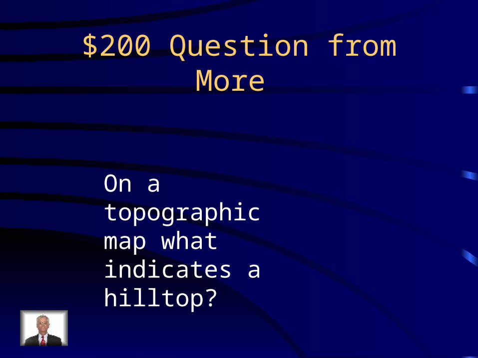
$200 Question from More
On a topographic map what indicates a hilltop?

$200 Answer from More
Closed Lines

$300 Question from More
How do you know if the increase in elevation is steep or gradual?

$300 Answer from More
Steep changes are indicated by contour lines that a close together and gradual changes are indicated by contour lines that are spaced farther apart

$400 Question from More
When contour lines cross rivers which way to they bend?

$400 Answer from More
Upstream
$500 Question from More
What do topographic maps show?

$500 Answer from More
Size and shape pf Earth’s surface features

$100 Question from Time
If you are at 20oE and it is noon what time is it at 35oE?

$100 Answer from Time
1 P.M

$200 Question from Time
If it is 1 P.M. at 60oE what time is it at 30oE

$200 Answer from Time
11 A.M.

$300 Question from Time
If it is 10 A.M. at 25oE what time is it at 28oE

$300 Answer from Time
10:12 A.M.
$400 Question from Time
If it 9:00 PM at 70oE what time is it at 130oE

$400 Answer from Time
1:00 AM

$500 Question from Time
If it is 12:20 PM at 63oE what time is it at 46oE

$500 Answer from Time
11:12 AM

Final Jeopardy
Answer the following questions using the White Mountain Map
1. What is the elevation of Bald Peak 2. How far is it in miles from Blue Lake to the beginnings of Bear Mountain3. What is the contour interval of this map?4. Which side of Bear Mountain is the steepest?5. What direction does Rapid Brook flow?

Final Jeopardy Answer
1. 590 Miles2. 1 Mile3. 100 feet4. South Side5. Northeast