INTERREG project preparation meeting July 10-11, 2014 Trieste, Italy
12
Possibilities of participation of Slovak team in future project – some notes to draft proposals A and B INTERREG project preparation meeting July 10-11, 2014 Trieste, Italy Miriam Kristeková, Jozef Kristek, Robert Kysel Department of Seismology Geophysical Institute SAS, Bratislava, Slovakia Department of Astronomy, Physics of the Earth and Meteorology y of Mathematics, Physics and Informatics, Comenius University, Bratislava,
-
Upload
moses-zamora -
Category
Documents
-
view
21 -
download
0
description
INTERREG project preparation meeting July 10-11, 2014 Trieste, Italy. Possibilities of participation of Slovak team in future project – some notes to draft proposals A and B. Miriam Kristeková, Jozef Kristek, Robert Kysel - PowerPoint PPT Presentation
Transcript of INTERREG project preparation meeting July 10-11, 2014 Trieste, Italy
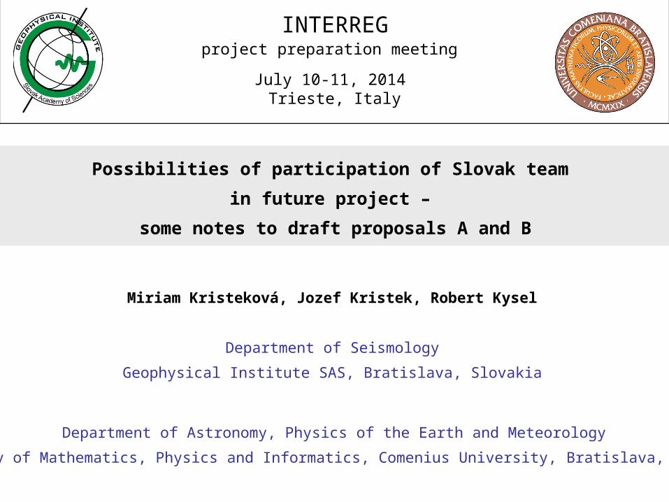
Possibilities of participation of Slovak team
in future project –
some notes to draft proposals A and B
INTERREG project preparation meeting
July 10-11, 2014 Trieste, Italy
Miriam Kristeková, Jozef Kristek, Robert Kysel
Department of Seismology
Geophysical Institute SAS, Bratislava, Slovakia
Department of Astronomy, Physics of the Earth and Meteorology
Faculty of Mathematics, Physics and Informatics, Comenius University, Bratislava, Slovakia
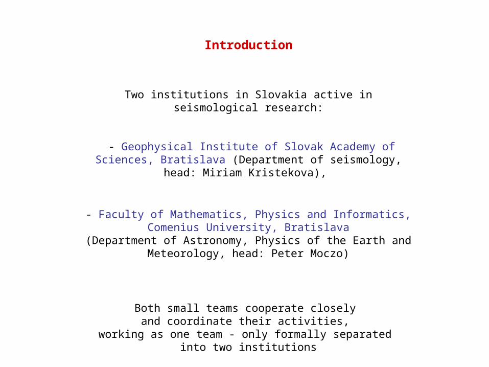
Introduction
Two institutions in Slovakia active in seismological research:
- Geophysical Institute of Slovak Academy of Sciences, Bratislava (Department of seismology, head: Miriam Kristekova),
- Faculty of Mathematics, Physics and Informatics, Comenius University, Bratislava
(Department of Astronomy, Physics of the Earth and Meteorology, head: Peter Moczo)
Both small teams cooperate closely and coordinate their activities,
working as one team - only formally separated into two institutions

Introduction
Our main research fields are:
- Numerical modeling of seismic motion and rupture propagation (including development of methods
for numerical modeling and for seismic signal analysis)
- Monitoring of earthquakes and their analysis, collection and analysis of macroseismic data
- Seismic hazard assessment (and related sub-topics)
Introduction
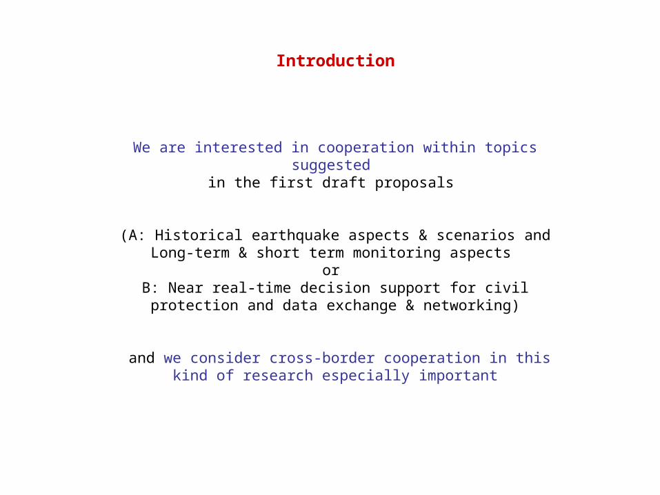
We are interested in cooperation within topics suggested
in the first draft proposals
(A: Historical earthquake aspects & scenarios and Long-term & short term monitoring aspects
or B: Near real-time decision support for civil protection and data
exchange & networking)
and we consider cross-border cooperation in this kind of research especially important

Introduction
In the following slides we will try to briefly address
items from draft proposals
where we (in our team) have some experiences
and/or
we are interested in cooperation in that kind of research
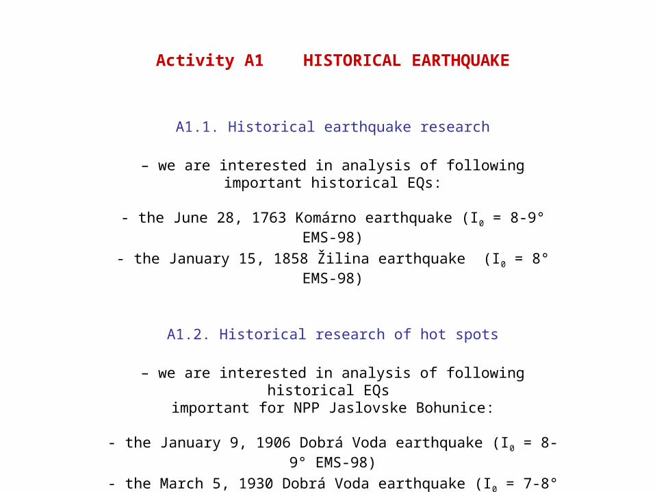
Activity A1 HISTORICAL EARTHQUAKE
A1.1. Historical earthquake research
– we are interested in analysis of following important historical EQs:
- the June 28, 1763 Komárno earthquake (I0 = 8-9° EMS-98)
- the January 15, 1858 Žilina earthquake (I0 = 8° EMS-98)
A1.2. Historical research of hot spots
– we are interested in analysis of following historical EQs important for NPP Jaslovske Bohunice:
- the January 9, 1906 Dobrá Voda earthquake (I0 = 8-9° EMS-98)
- the March 5, 1930 Dobrá Voda earthquake (I0 = 7-8° EMS-98)

Activity A2 SCENARIOS
A2.1. Ground motion scenarios
– we have developed 3D finite-difference code verified in several international verification and validation prediction tests
However the problem could be the availability
of sufficiently well-known 3D model for the sites of interest
A2.2. Microzonation: site effects
– we suggest to use also tools provided by ambient noise analysis
- at least the H/V spectral ratio method
here we have experiences from FP5 and FP6 projectsSESAME and NERIES
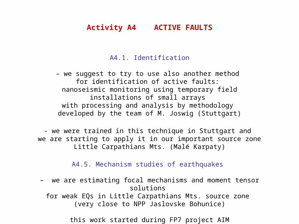
Activity A4 ACTIVE FAULTS
A4.1. Identification
– we suggest to try to use also another method for identification of active faults:
nanoseismic monitoring using temporary field installations of small arrays with processing and analysis by methodology developed by the team of M. Joswig (Stuttgart)
- we were trained in this technique in Stuttgart and we are starting to apply it in our important source zone
Little Carpathians Mts. (Malé Karpaty)
A4.5. Mechanism studies of earthquakes
– we are estimating focal mechanisms and moment tensor solutions for weak EQs in Little Carpathians Mts. source zone
(very close to NPP Jaslovske Bohunice)
this work started during FP7 project AIM

Activity A5 SEISMICITY
A5.2. New common and integrated earthquake catalogue
– we are prepared to contribute to the new regional earthquake catalogue
for the territory of Central Europe
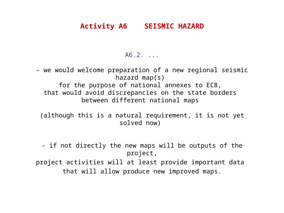
Activity A6 SEISMIC HAZARD
A6.2. ...
– we would welcome preparation of a new regional seismic hazard map(s) for the purpose of national annexes to EC8,
that would avoid discrepancies on the state borders between different national maps
(although this is a natural requirement, it is not yet solved now)
- if not directly the new maps will be outputs of the project,
project activities will at least provide important data
that will allow produce new improved maps.
Draft proposal B
general comment only
several parts/activities in B version are similar to A version
with macroseismic and civil defense issues added
although we understand general importance of issues addressed in B version
this proposal version is less specified
therefore
we would prefer to wait for discussions at this meeting

Thank you