
Internet GIS: Explore Our World from a Hyperspace Gateway! Freese Middle School 2-18-2004 Dr. GIS...
29
Internet GIS: Internet GIS: Explore Our World from Explore Our World from a Hyperspace Gateway! a Hyperspace Gateway! Freese Middle School 2-18-2004 Dr. GIS (Dr. Ming- Hsiang Tsou) Department of Geography
-
date post
21-Dec-2015 -
Category
Documents
-
view
214 -
download
0
Transcript of Internet GIS: Explore Our World from a Hyperspace Gateway! Freese Middle School 2-18-2004 Dr. GIS...
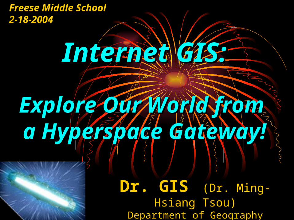
Internet GIS:Internet GIS:
Explore Our World Explore Our World from a Hyperspace from a Hyperspace
Gateway!Gateway!
Freese Middle School 2-18-2004
Dr. GIS (Dr. Ming-Hsiang Tsou)
Department of GeographySan Diego State University

GIS are GIS are Magic Sandwiches !Magic Sandwiches !
GGeographiceographic IInformationnformation SSystemsystems

San Diego GIS
< Soil Map
Elevation >
< Streets
Aerial Photos >
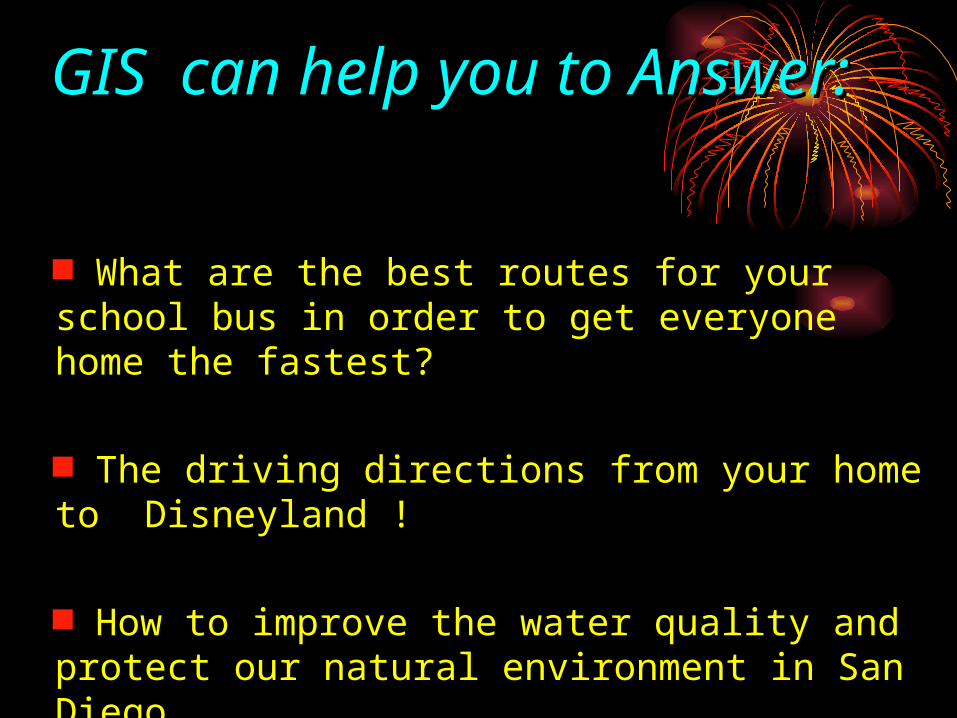
What are the best routes for your school bus in order to get everyone home the fastest?
The driving directions from your home to Disneyland !
How to improve the water quality and protect our natural environment in San Diego.
GIS can help you to GIS can help you to Answer:Answer:

GIS are inside GIS are inside Computers Computers
The GIS lab at Geography Department, SDSU.
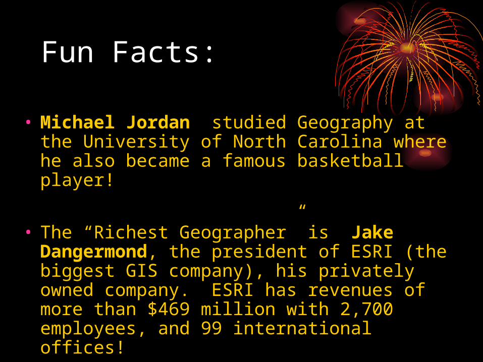
Fun Facts:
• Michael Jordan studied Geography at the University of North Carolina where he also became a famous basketball player!
• The “Richest Geographer” is Jake Dangermond, the president of ESRI (the biggest GIS company), his privately owned company. ESRI has revenues of more than $469 million with 2,700 employees, and 99 international offices!

Fly through San Diego !
3D GIS Demo
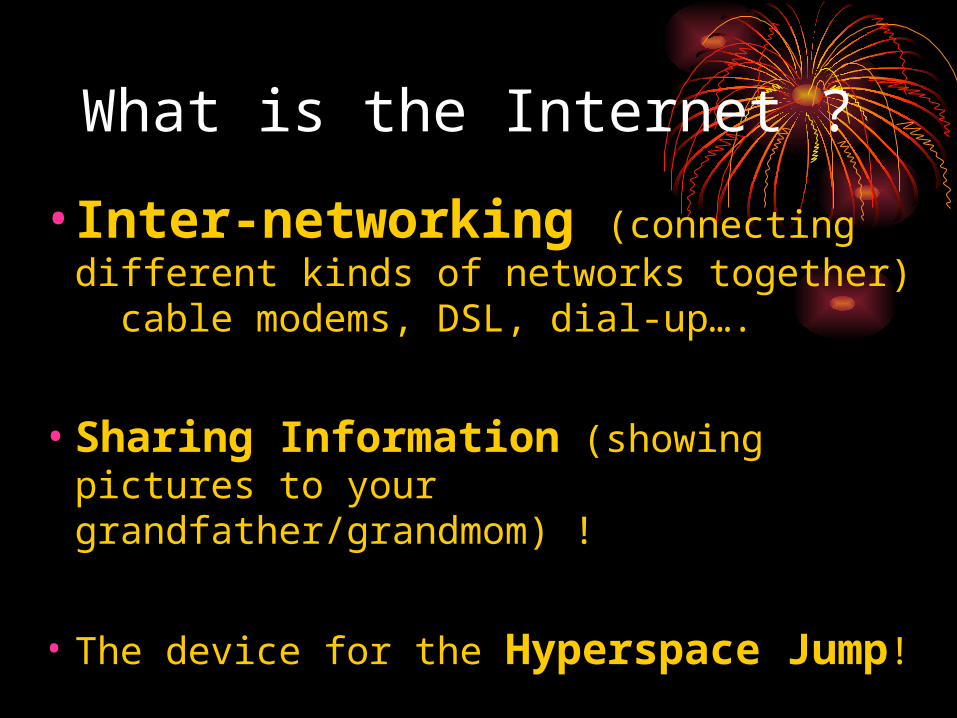
What is the Internet ?
• Inter-networking (connecting different kinds of networks together) cable modems, DSL, dial-up….
• Sharing Information (showing pictures to your grandfather/grandmom) !
• The device for the Hyperspace Jump!
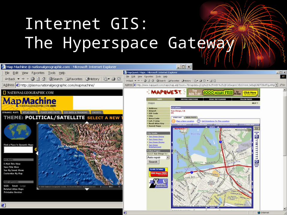
Internet GIS: The Hyperspace Gateway
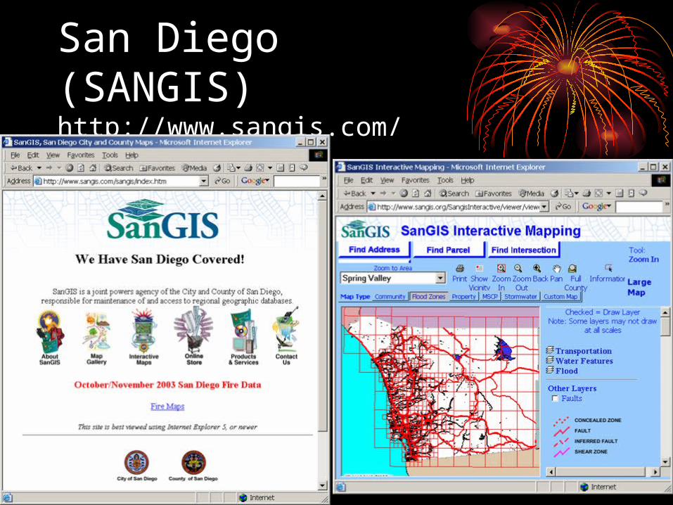
San Diego(SANGIS) http://www.sangis.com/
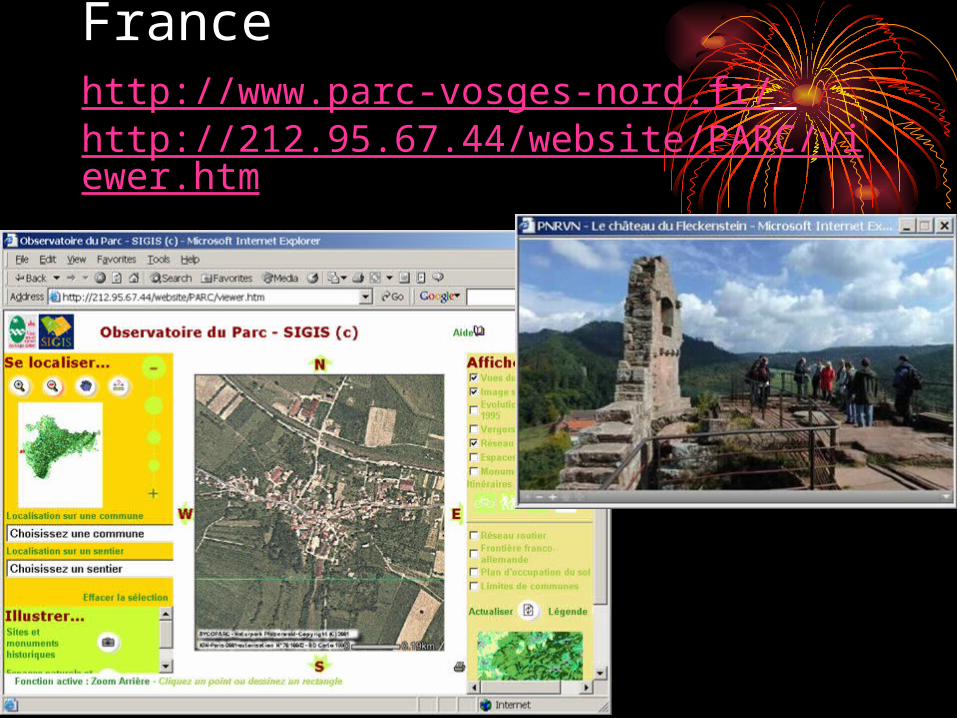
Francehttp://www.parc-vosges-nord.fr/ http://212.95.67.44/website/PARC/viewer.htm
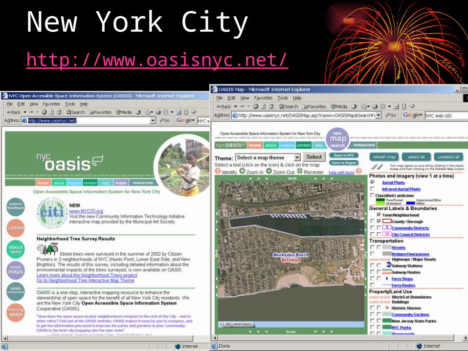
New York Cityhttp://www.oasisnyc.net/

Mars !!!http://ltpwww.gsfc.nasa.gov/tharsis/ngs.html
http://marsrovers.jpl.nasa.gov/home/index.html
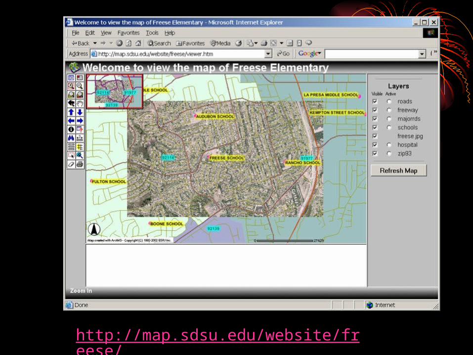
http://map.sdsu.edu/website/freese/
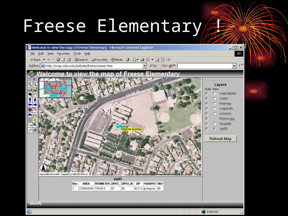
Freese Elementary !
Monitor the 2003 Wildfires in San Diego!
Combine Multimedia Maps and Virtual Reality !
Provide mobile GIS applications (wireless communications) !
Internet GIS canInternet GIS can

NASA’s Satellite Image (MODIS: 10-27-2003 )
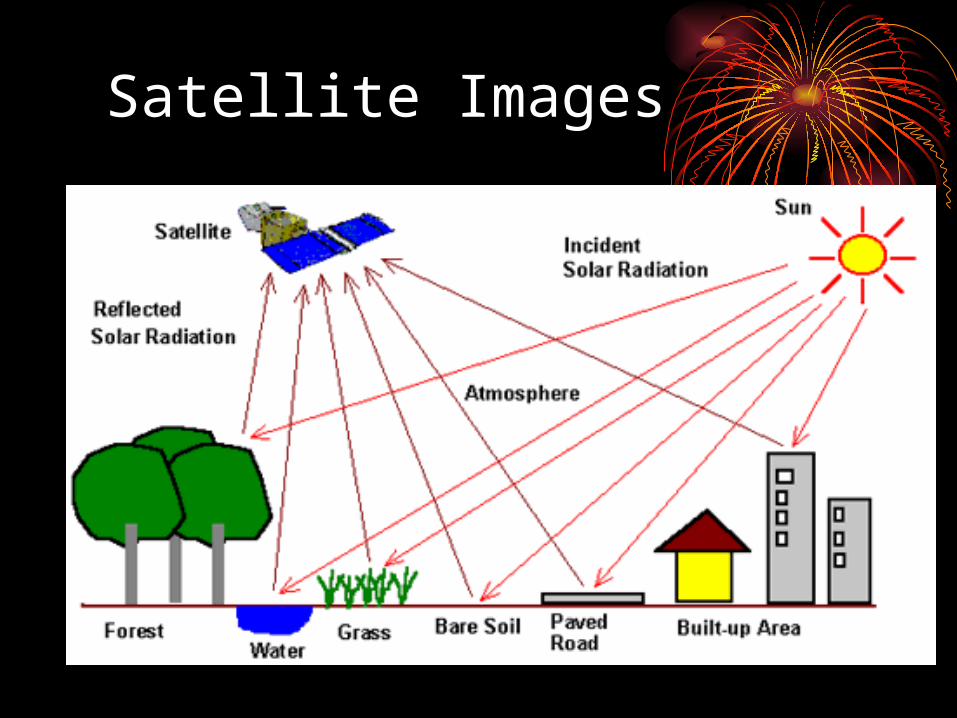
Satellite Images

Fire Spread Animation (Hot Spots detected from Satellite Images)
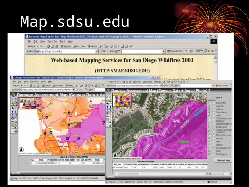
Map.sdsu.edu
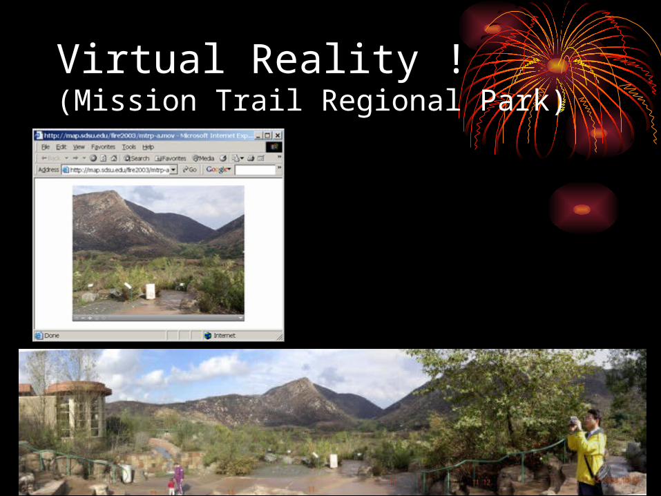
Virtual Reality !(Mission Trail Regional Park)
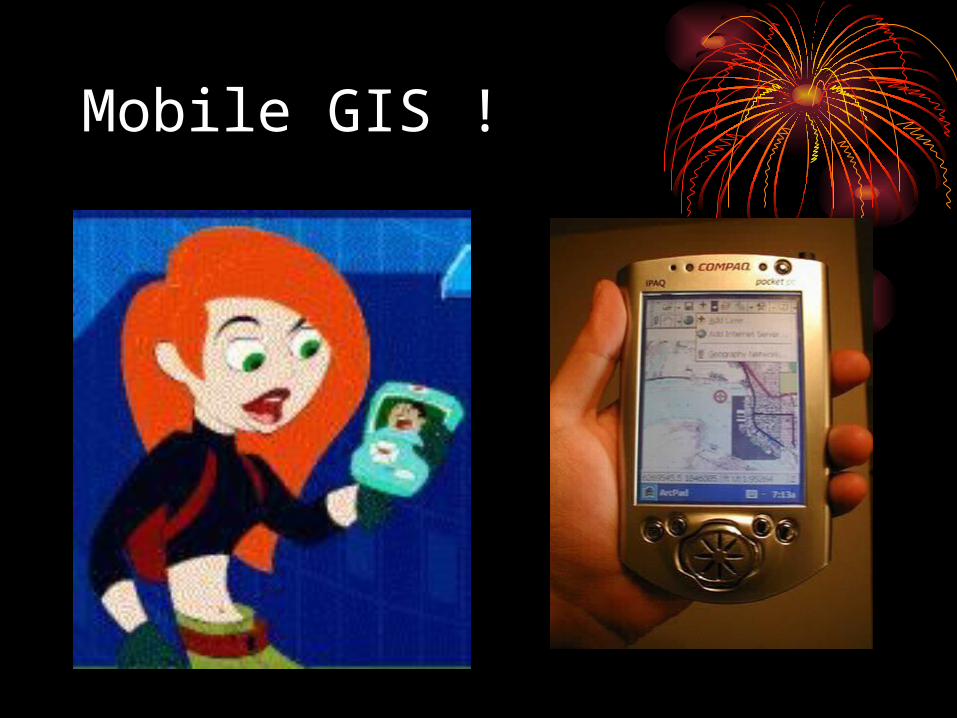
Mobile GIS !
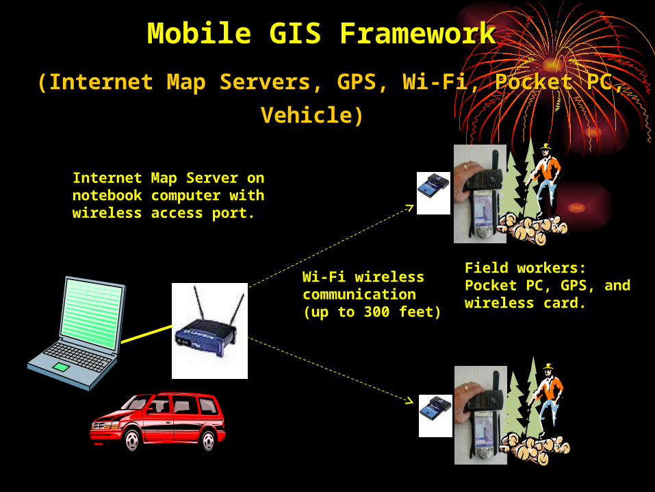
Mobile GIS Framework Mobile GIS Framework
(Internet Map Servers, GPS, Wi-Fi, Pocket PC, Vehicle)(Internet Map Servers, GPS, Wi-Fi, Pocket PC, Vehicle)
Internet Map Server on notebook computer with wireless access port.
Field workers: Pocket PC, GPS, and wireless card.
Wi-Fi wireless communication (up to 300 feet)
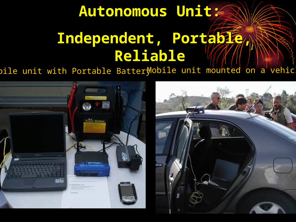
Autonomous Unit: Autonomous Unit:
Independent, Portable, Reliable Independent, Portable, Reliable
Mobile unit with Portable Battery Mobile unit mounted on a vehicle.
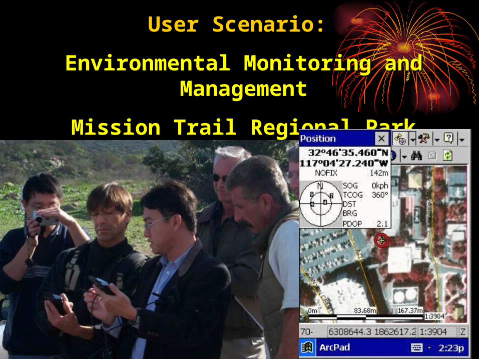
User Scenario:User Scenario:
Environmental Monitoring and ManagementEnvironmental Monitoring and Management
Mission Trail Regional ParkMission Trail Regional Park
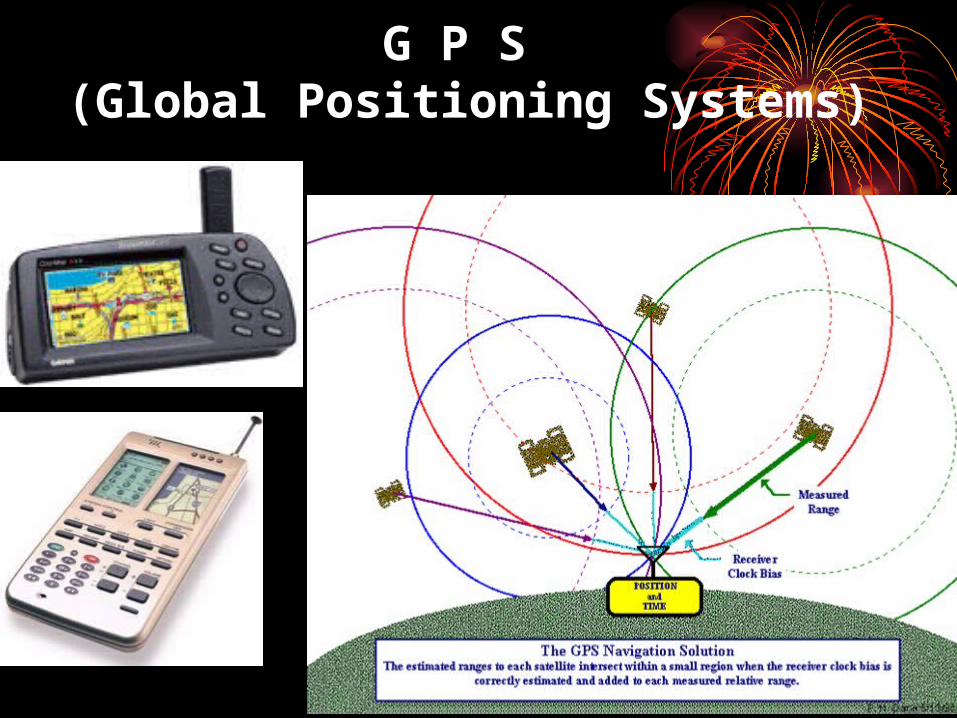
G P S (Global Positioning Systems)
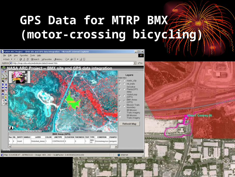
GPS Data for MTRP BMX (motor-crossing bicycling)
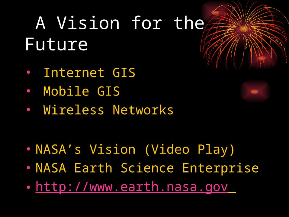
A Vision for the Future
• Internet GIS• Mobile GIS• Wireless Networks
• NASA’s Vision (Video Play)
• NASA Earth Science Enterprise
• http://www.earth.nasa.gov
Thank You !!!
• I am “Dr. GIS” • Questions and Answers ?
![1898.] THE PHILOSOPHY OF HYPERSPACE. 187 …](https://static.fdocuments.in/doc/165x107/618f5f8f660b103f1b5ff502/1898-the-philosophy-of-hyperspace-187-.jpg)


![1898.] THE PHILOSOPHY OF HYPERSPACE. 187 PRESIDENTIAL ...](https://static.fdocuments.in/doc/165x107/6267b1d39d61b32f9327af1c/1898-the-philosophy-of-hyperspace-187-presidential-.jpg)
