Innovations in Bridge Surveying
31
3D Laser Scanning (High Definition Surveying) Hydrographic Surveying Jeffrey Wood, P.S. - Director of Surveying Services Eric Barden, P.S. – Transportation Survey Lead SPICER GROUP, INC. Innovations in Bridge Surveying
Transcript of Innovations in Bridge Surveying

3D Laser Scanning (High Definition Surveying)
Hydrographic Surveying
Jeffrey Wood, P.S. - Director of Surveying Services
Eric Barden, P.S. – Transportation Survey Lead
SPICER GROUP, INC.
Innovations in Bridge
Surveying

Overview • 3D Laser Scanning (HDS)
– Equipment / Software
– Benefits
– Applications
• Hydrographic Surveying – Equipment / Software
– Benefits • Hec-Ras Modeling
• Accurate TIN
– Applications
• Questions

3D Laser Scanning (HDS)

Equipment
Software
– Leica Cyclone
– Cyclone 2 Topo (Virtual Surveyor)
– Cloudworx for AutoCAD or Microstation
Hardware
– Leica HDS 3000 Laser Scanner
– Laptop computer
– Honda Generator or other 110v Power Supply

Benefits of HDS
Virtually obtain bridge structure measurements
Significant cost savings. Reduce or eliminate traffic control costs
No return visits – virtually survey any item on bridge structure
Unprecedented level of detail ie. Bolt patterns, cracks in concrete abutments, lane lines etc.
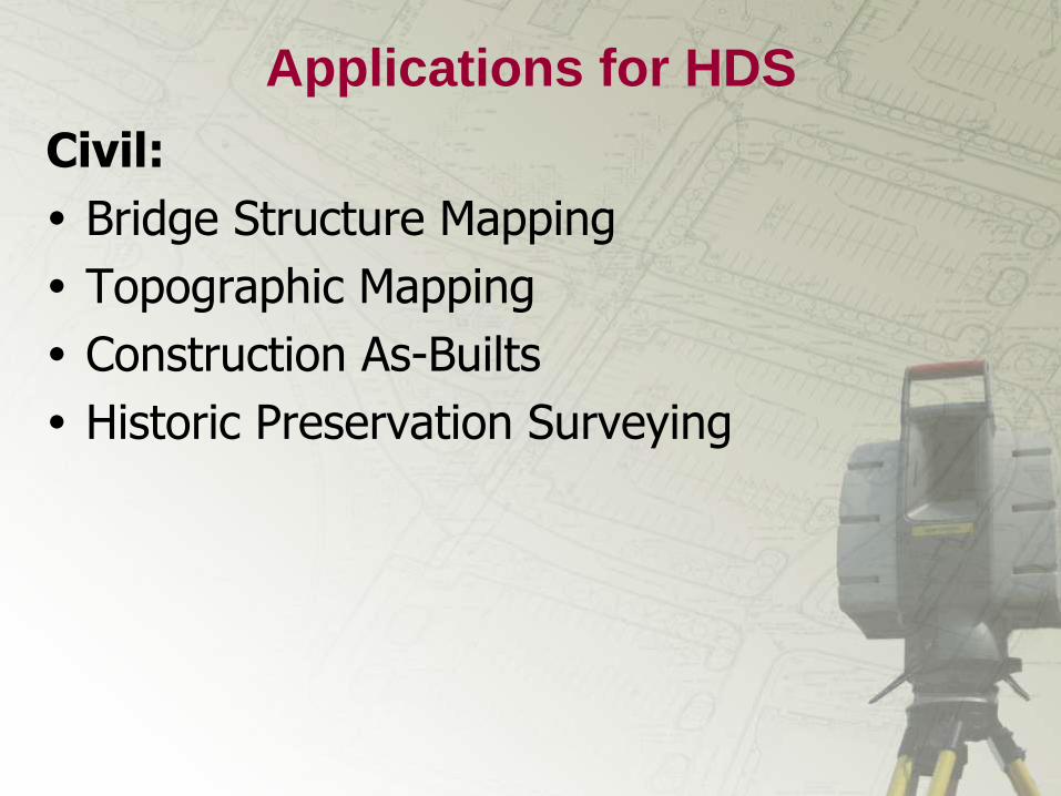
Applications for HDS
Civil:
Bridge Structure Mapping
Topographic Mapping
Construction As-Builts
Historic Preservation Surveying

Case Studies
Civil:
US 141 over Menominee River
Plymouth Road over I-275
Huron River Drive over I-275
I-94 over I-275
9 Bridges along I-96 near Telegraph

US-141 Over the
Menominee River

PLYMOUTH ROAD
OVER I-275


HURON RIVER DRIVE
OVER I-275

W.B. I-94 Over the
S.B. I-275 Ramp

W.B. I-94 Over the
S.B. I-275 Ramp

I-96 Bridges


Common Software Formats
Bentley Microstation
AutoDesk AutoCAD / MEP / REVIT
CAiCE Visual Survey
Navisworks
Polyworks
Pointools
Many more………….

Hydrographic Surveying

• What is it ?
– “Hydrographic Surveying” is the process of
collecting positional and depth information in
order to accurately chart lake/channel bottom
conditions.
– “Bathymetry” is the measurement of the
water’s depth
• It is the marine equivalent of a “Topographic” or
“Topo” map
Hydrographic Surveying

Equipment & Software
Equipment
• Single Beam-Dual
Frequency Transducer
• 200 Khz & 24 Khz
• Odom CV2
Echosounder
• Data Collectors
• Survey Grade RTK
GPS
Software
• HYPACK MAX
• CHARTVIEW
• Odom CV Controller


Benefits of Hydrographic Surveys
• Rapid data collection
• Easily integrated with conventional survey
data.
• Easily exported for use in Hec-Ras
• Accurate bottom contouring
• Safely survey any water body

Case Studies
• M-25 over the Sebewaing River, Caseville
• M-141 Menominee River, Iron River

M-25 Sebewaing River - Caseville

US-141 Menominee River


Data Integration US-141 Bridge

What’s Next?
• Mobile Scanning • Technology Integration • Beyond CAD
Laser Scanning Demonstration

Questions?