Informational Meeting No. 2€¦ · PARADISE VALLEY Corridor Planning Study 1 Informational Meeting...
35
PARADISE VALLEY Corridor Planning Study 1 Informational Meeting No. 2 Gardiner Tuesday, February 25 th , 2014 Gardiner Community Center 7:00 p.m. Livingston Monday, February 24 th , 2014 Community Room 6:00 p.m.
Transcript of Informational Meeting No. 2€¦ · PARADISE VALLEY Corridor Planning Study 1 Informational Meeting...
PARADISE VALLEYCorridor Planning Study
1
Informational Meeting No. 2GardinerTuesday, February 25th, 2014Gardiner Community Center7:00 p.m.
LivingstonMonday, February 24th, 2014Community Room6:00 p.m.
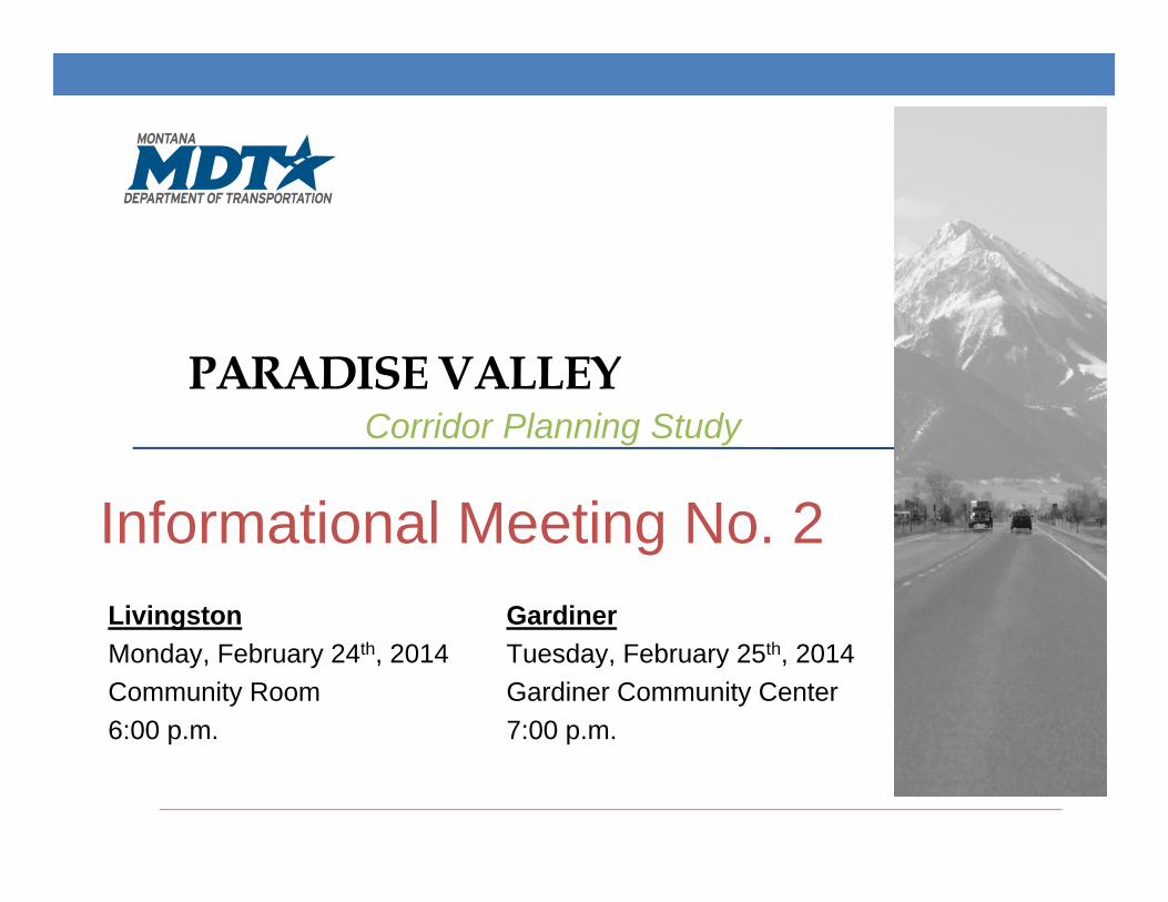
Welcome and Introductions
• Introduction of local officials
• Partners• MDT
• FHWA
• Park County
2
I N FORMAT I ONA L MEE T I NG NO . 2
Outline of this Evening’s Meeting• Title VI considerations• Corridor planning process• Areas of concern• Needs and objectives• Recommended improvement options• Recommended improvement options to be implemented by others
• Other improvement options considered • Next steps & conclusion
3
I N FORMAT I ONA L MEE T I NG NO . 2
TITLE VI CONSIDERATIONS
4
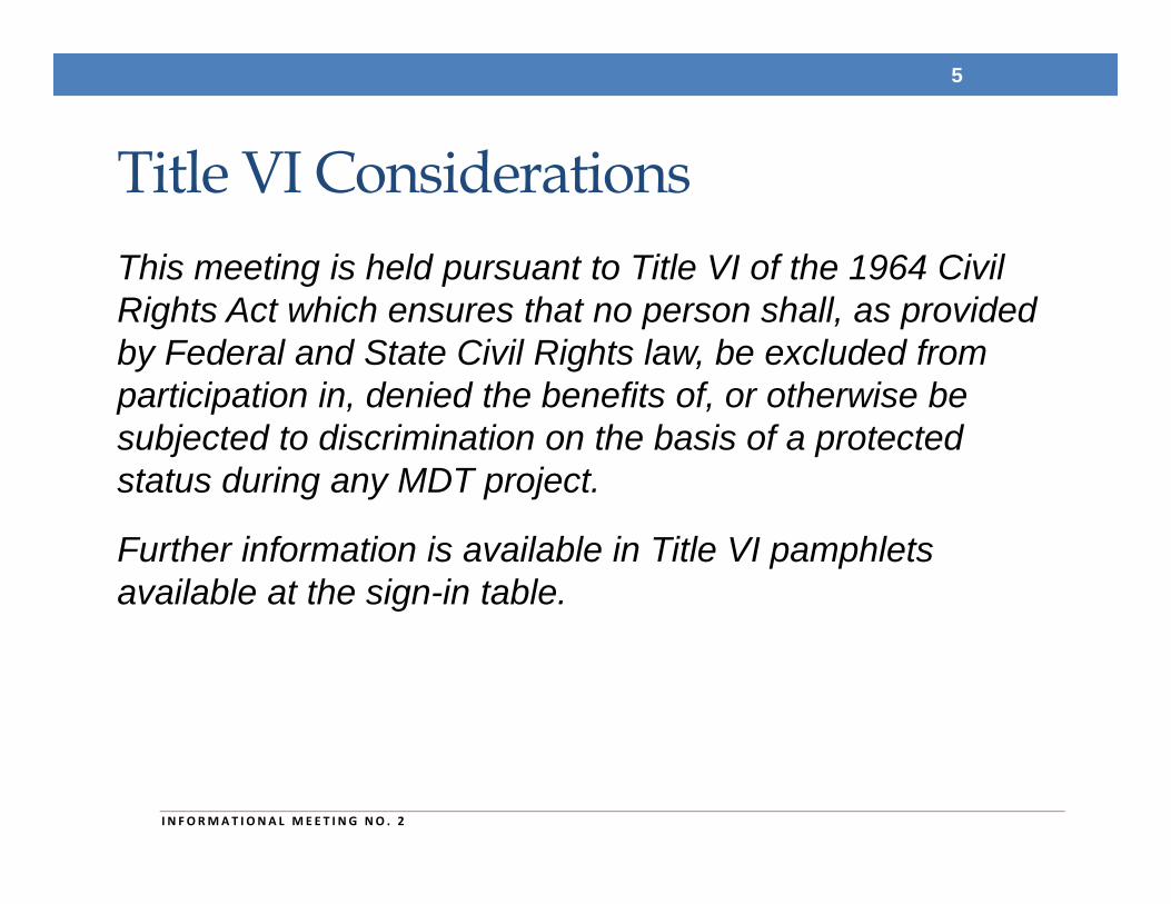
Title VI ConsiderationsThis meeting is held pursuant to Title VI of the 1964 Civil Rights Act which ensures that no person shall, as provided by Federal and State Civil Rights law, be excluded from participation in, denied the benefits of, or otherwise be subjected to discrimination on the basis of a protected status during any MDT project.
Further information is available in Title VI pamphlets available at the sign-in table.
5
I N FORMAT I ONA L MEE T I NG NO . 2
CORRIDOR PLANNING PROCESS
6
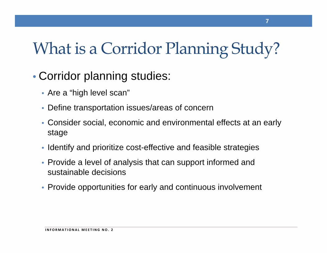
What is a Corridor Planning Study?• Corridor planning studies:
• Are a “high level scan”
• Define transportation issues/areas of concern
• Consider social, economic and environmental effects at an early stage
• Identify and prioritize cost-effective and feasible strategies
• Provide a level of analysis that can support informed and sustainable decisions
• Provide opportunities for early and continuous involvement
7
I N FORMAT I ONA L MEE T I NG NO . 2
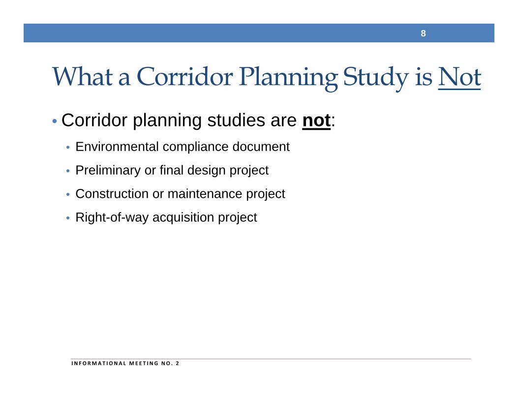
What a Corridor Planning Study is Not• Corridor planning studies are not:
• Environmental compliance document
• Preliminary or final design project
• Construction or maintenance project
• Right-of-way acquisition project
8
I N FORMAT I ONA L MEE T I NG NO . 2
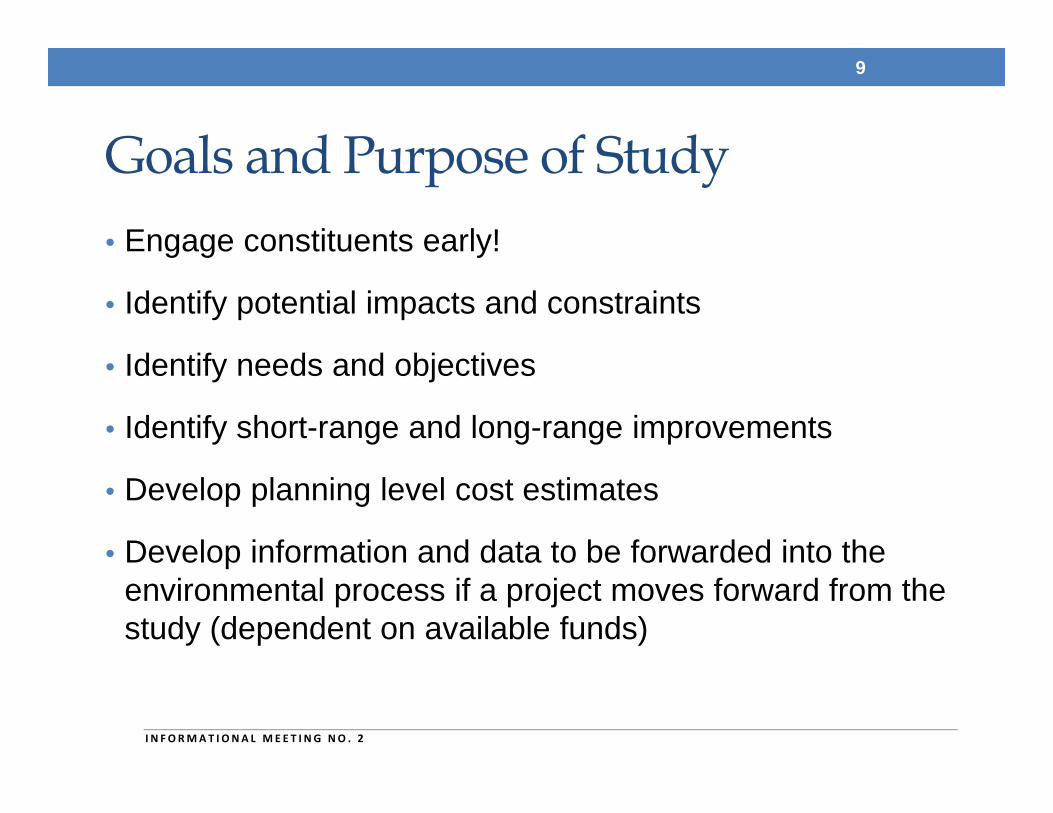
Goals and Purpose of Study• Engage constituents early!
• Identify potential impacts and constraints
• Identify needs and objectives
• Identify short-range and long-range improvements
• Develop planning level cost estimates
• Develop information and data to be forwarded into the environmental process if a project moves forward from the study (dependent on available funds)
9
I N FORMAT I ONA L MEE T I NG NO . 2
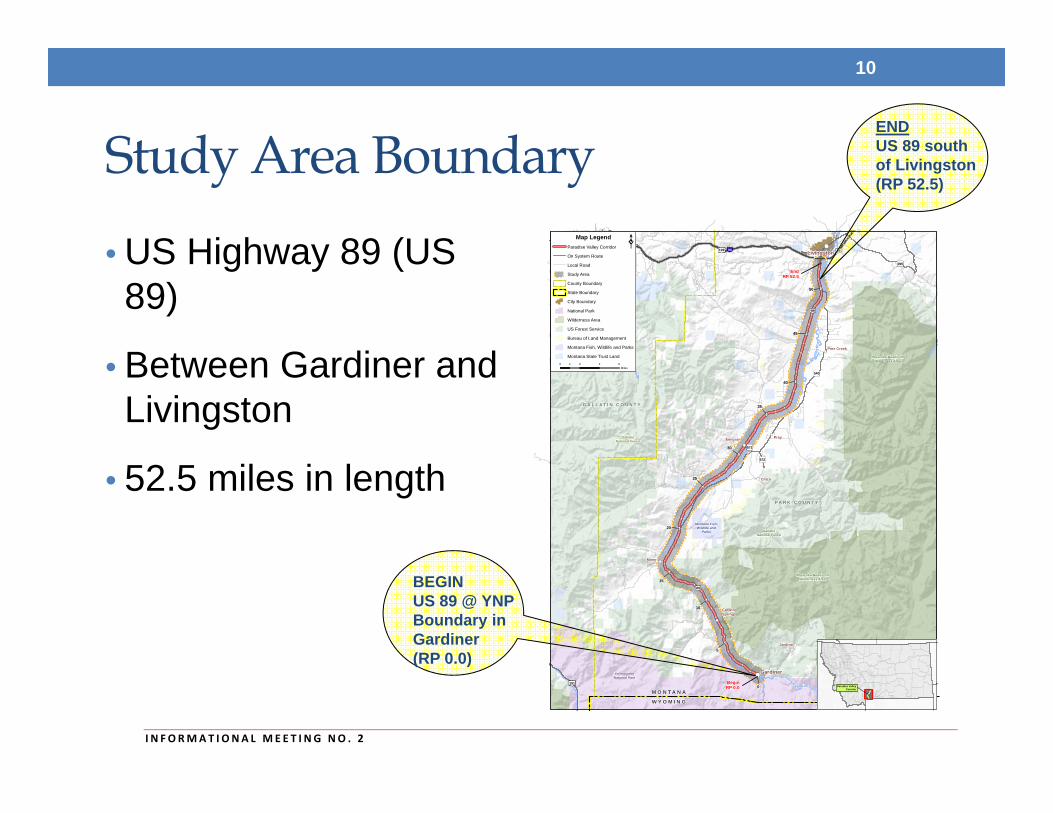
Study Area Boundary
• US Highway 89 (US 89)
• Between Gardiner and Livingston
• 52.5 miles in length
10
90
191
191
191 89
89
86
571
572
345
295
540
89
BeginRP 0.0
EndRP 52.5
Bozeman
Livingston
Gardiner
Pray
Chico
CorwinSprings
Emigrant
Jardine
Miner
Pine Creek
0
5
10
15
20
25
30
35
40
45
50
G A L L A T I N C O U N T Y
P A R K C O U N T Y
M O N T A N A
W Y O M I N G
Yellow
ston
eR
iver
Yellowston e River
GallatinNational Forest
GallatinNational Forest
Montana Fish,Wildlife and
Parks
Montana Fish,Wildlife
and Parks
YellowstoneNational Park
Absaroka-BeartoothWilderness Area
Absaroka-BeartoothWilderness Area
Paradise ValleyCorridor
0 2 4 61Miles
Map LegendParadise Valley Corridor
Study Area
Local Road
On System Route
State Boundary
County Boundary
City Boundary
National Park
Wilderness Area
US Forest Service
Bureau of Land Management
Montana State Trust Land
Montana Fish, Wildlife and Parks
ENDUS 89 south of Livingston (RP 52.5)
BEGINUS 89 @ YNP Boundary in Gardiner(RP 0.0)
I N FORMAT I ONA L MEE T I NG NO . 2
AREAS OF CONCERN
11
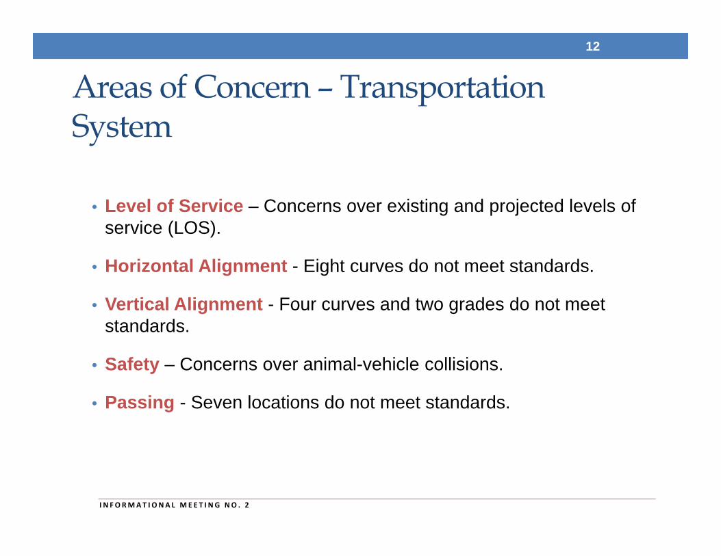
Areas of Concern – Transportation System
• Level of Service – Concerns over existing and projected levels of service (LOS).
• Horizontal Alignment - Eight curves do not meet standards.
• Vertical Alignment - Four curves and two grades do not meet standards.
• Safety – Concerns over animal-vehicle collisions.
• Passing - Seven locations do not meet standards.
12
I N FORMAT I ONA L MEE T I NG NO . 2
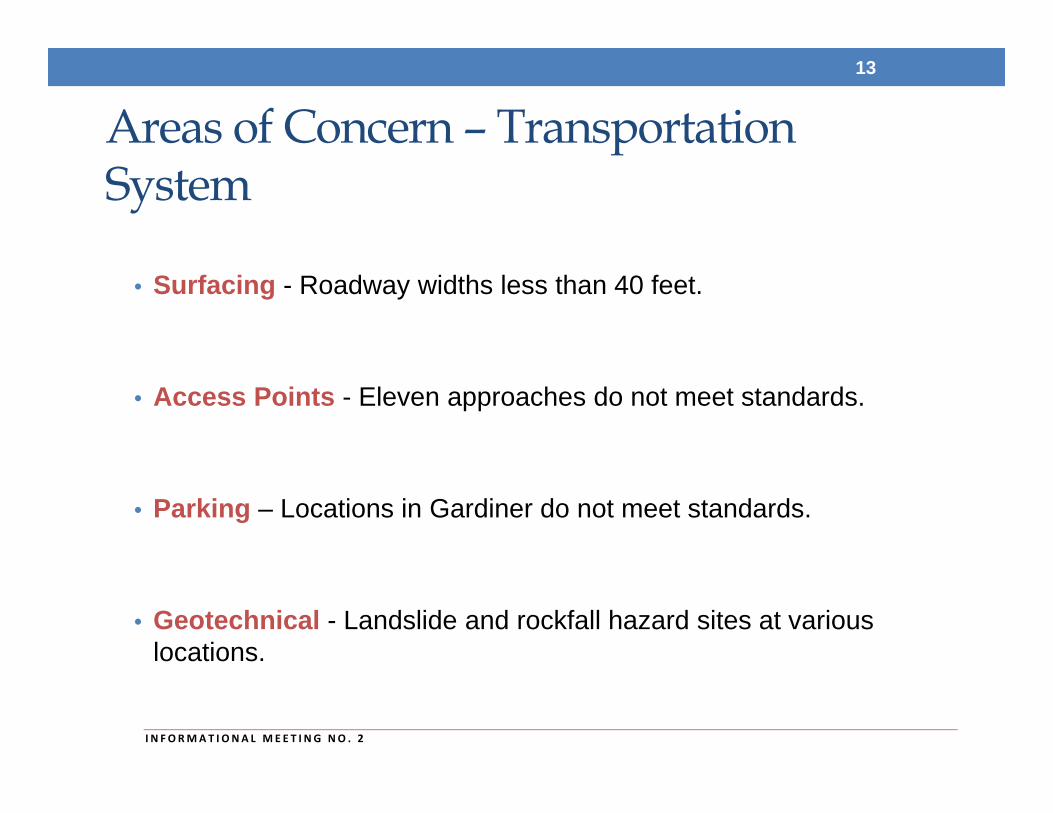
Areas of Concern – Transportation System
• Surfacing - Roadway widths less than 40 feet.
• Access Points - Eleven approaches do not meet standards.
• Parking – Locations in Gardiner do not meet standards.
• Geotechnical - Landslide and rockfall hazard sites at various locations.
13
I N FORMAT I ONA L MEE T I NG NO . 2
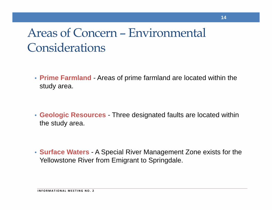
Areas of Concern – Environmental Considerations
• Prime Farmland - Areas of prime farmland are located within the study area.
• Geologic Resources - Three designated faults are located within the study area.
• Surface Waters - A Special River Management Zone exists for the Yellowstone River from Emigrant to Springdale.
14
I N FORMAT I ONA L MEE T I NG NO . 2
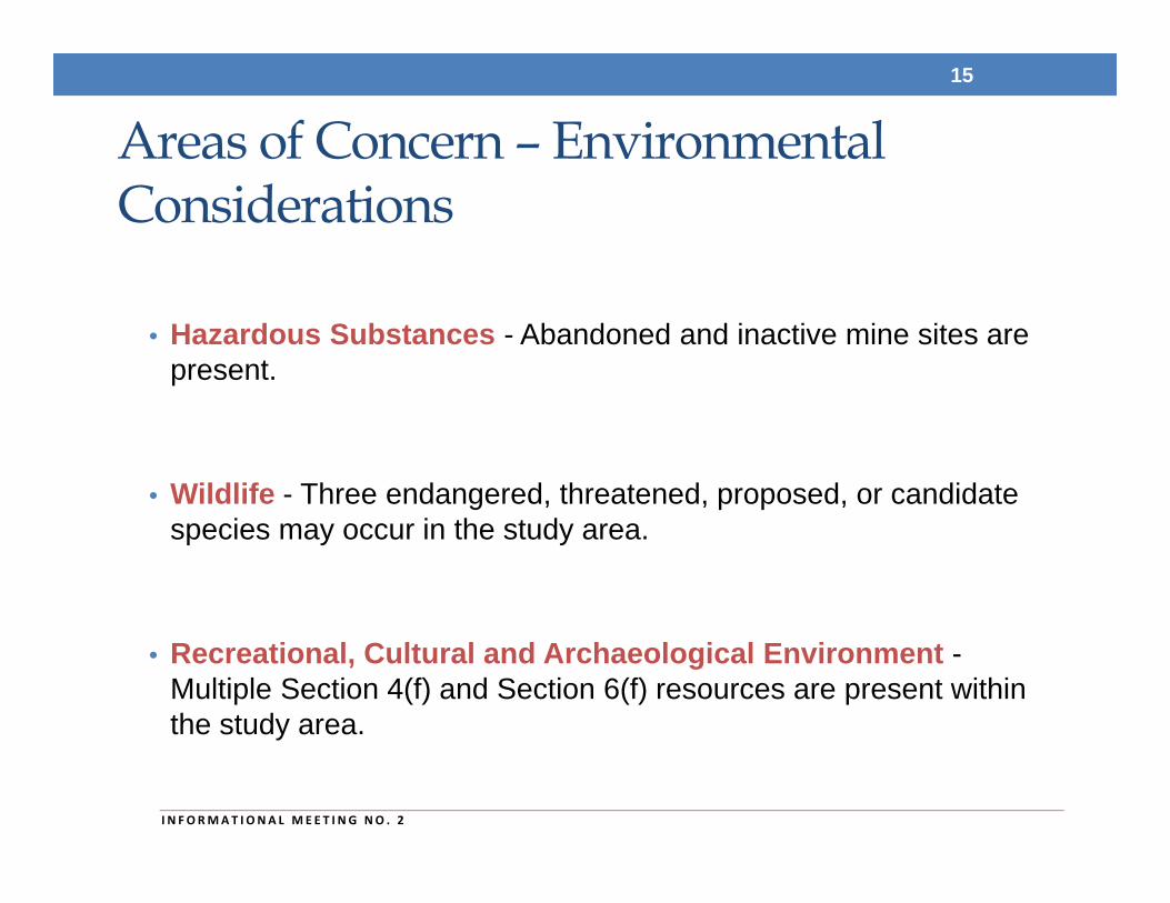
Areas of Concern – Environmental Considerations
• Hazardous Substances - Abandoned and inactive mine sites are present.
• Wildlife - Three endangered, threatened, proposed, or candidate species may occur in the study area.
• Recreational, Cultural and Archaeological Environment -Multiple Section 4(f) and Section 6(f) resources are present within the study area.
15
I N FORMAT I ONA L MEE T I NG NO . 2
NEEDS AND OBJECTIVES
16
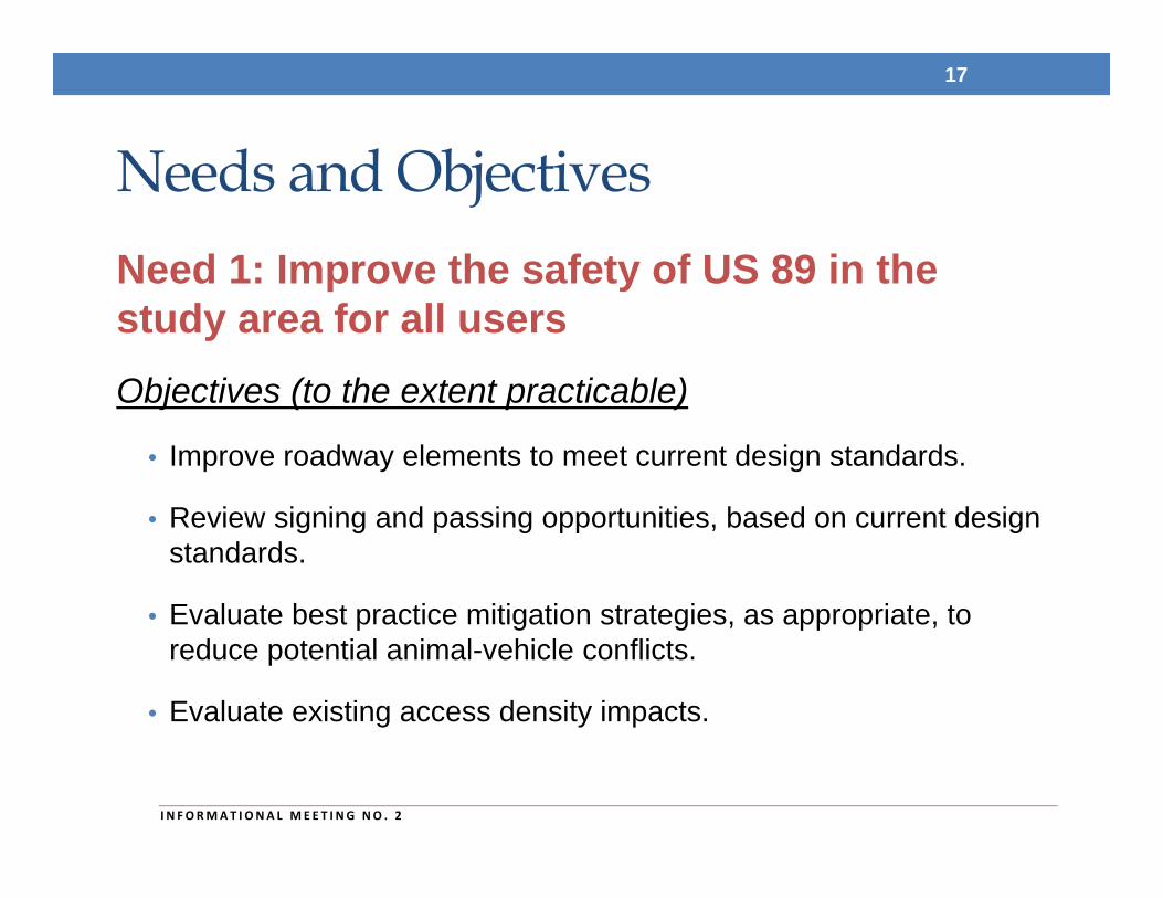
Needs and ObjectivesNeed 1: Improve the safety of US 89 in the study area for all usersObjectives (to the extent practicable)
• Improve roadway elements to meet current design standards.
• Review signing and passing opportunities, based on current design standards.
• Evaluate best practice mitigation strategies, as appropriate, to reduce potential animal-vehicle conflicts.
• Evaluate existing access density impacts.
17
I N FORMAT I ONA L MEE T I NG NO . 2
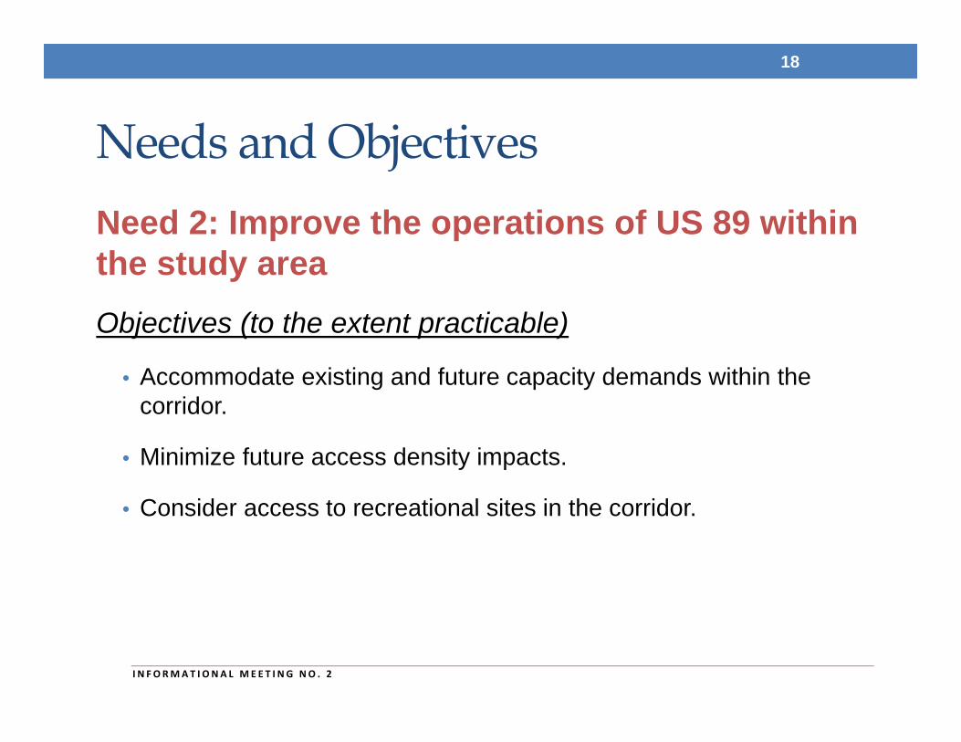
Needs and ObjectivesNeed 2: Improve the operations of US 89 within the study areaObjectives (to the extent practicable)
• Accommodate existing and future capacity demands within the corridor.
• Minimize future access density impacts.
• Consider access to recreational sites in the corridor.
18
I N FORMAT I ONA L MEE T I NG NO . 2
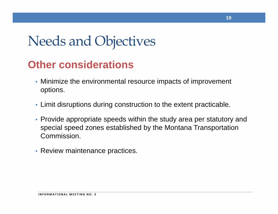
Needs and ObjectivesOther considerations
• Minimize the environmental resource impacts of improvement options.
• Limit disruptions during construction to the extent practicable.
• Provide appropriate speeds within the study area per statutory and special speed zones established by the Montana Transportation Commission.
• Review maintenance practices.
19
I N FORMAT I ONA L MEE T I NG NO . 2
Needs and ObjectivesOther considerations (continued)
• Recognize the environmental, scenic, cultural, recreational, and agricultural nature of the corridor.
• Consider local planning efforts.
• Consider availability and feasibility of funding.
• Consider construction feasibility.
20
I N FORMAT I ONA L MEE T I NG NO . 2
RECOMMENDED IMPROVEMENT OPTIONS
21
Recommended Improvement Options
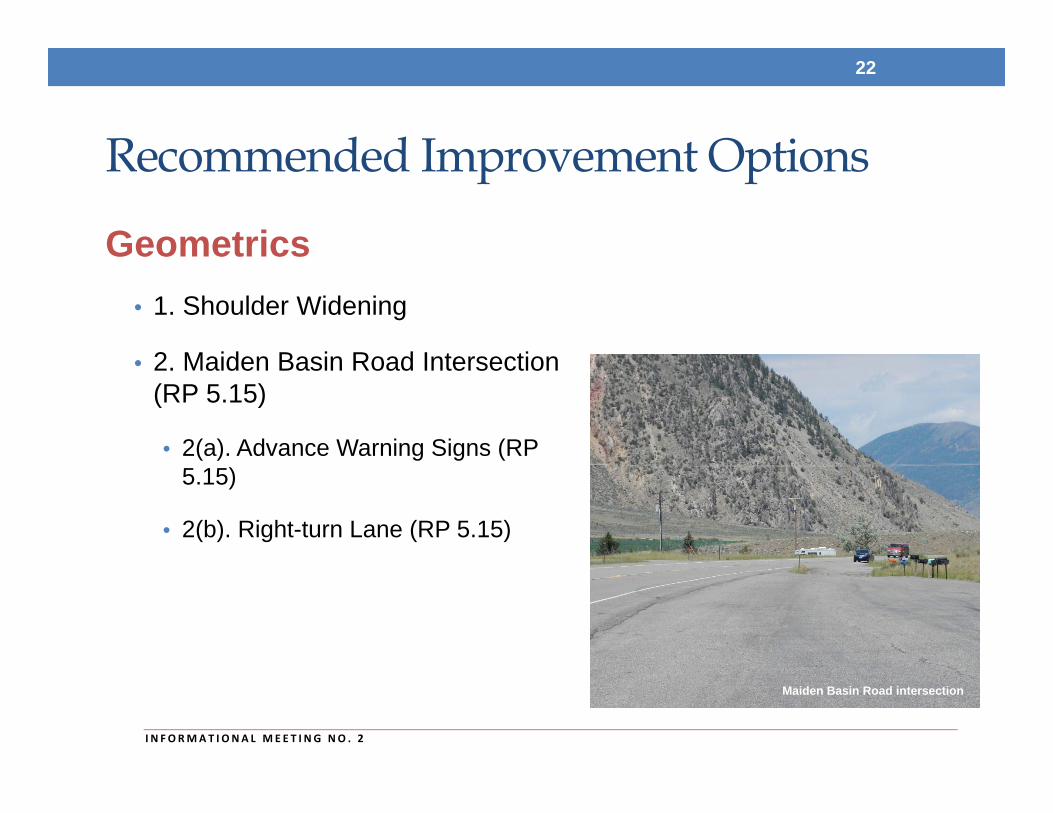
Geometrics• 1. Shoulder Widening
• 2. Maiden Basin Road Intersection (RP 5.15)
• 2(a). Advance Warning Signs (RP 5.15)
• 2(b). Right-turn Lane (RP 5.15)
22
I N FORMAT I ONA L MEE T I NG NO . 2
Maiden Basin Road intersection
Recommended Improvement Options
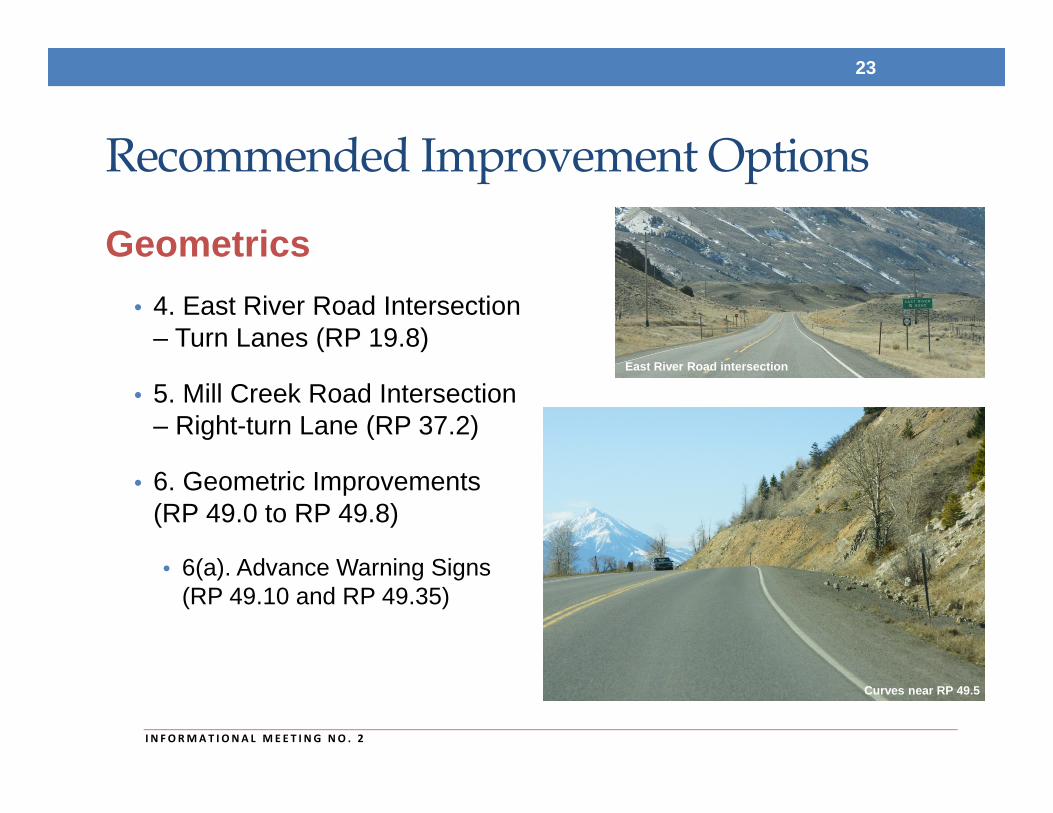
Geometrics• 4. East River Road Intersection
– Turn Lanes (RP 19.8)
• 5. Mill Creek Road Intersection – Right-turn Lane (RP 37.2)
• 6. Geometric Improvements (RP 49.0 to RP 49.8)
• 6(a). Advance Warning Signs (RP 49.10 and RP 49.35)
23
I N FORMAT I ONA L MEE T I NG NO . 2
East River Road intersection
Curves near RP 49.5
Recommended Improvement Options
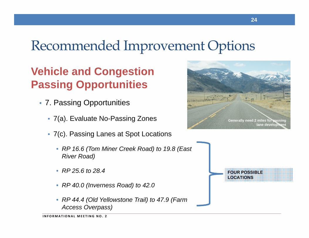
Vehicle and Congestion Passing Opportunities
• 7. Passing Opportunities
• 7(a). Evaluate No-Passing Zones
• 7(c). Passing Lanes at Spot Locations
• RP 16.6 (Tom Miner Creek Road) to 19.8 (East River Road)
• RP 25.6 to 28.4
• RP 40.0 (Inverness Road) to 42.0
• RP 44.4 (Old Yellowstone Trail) to 47.9 (Farm Access Overpass)
24
I N FORMAT I ONA L MEE T I NG NO . 2
FOUR POSSIBLE LOCATIONS
Generally need 2 miles for passing lane development
Recommended Improvement Options
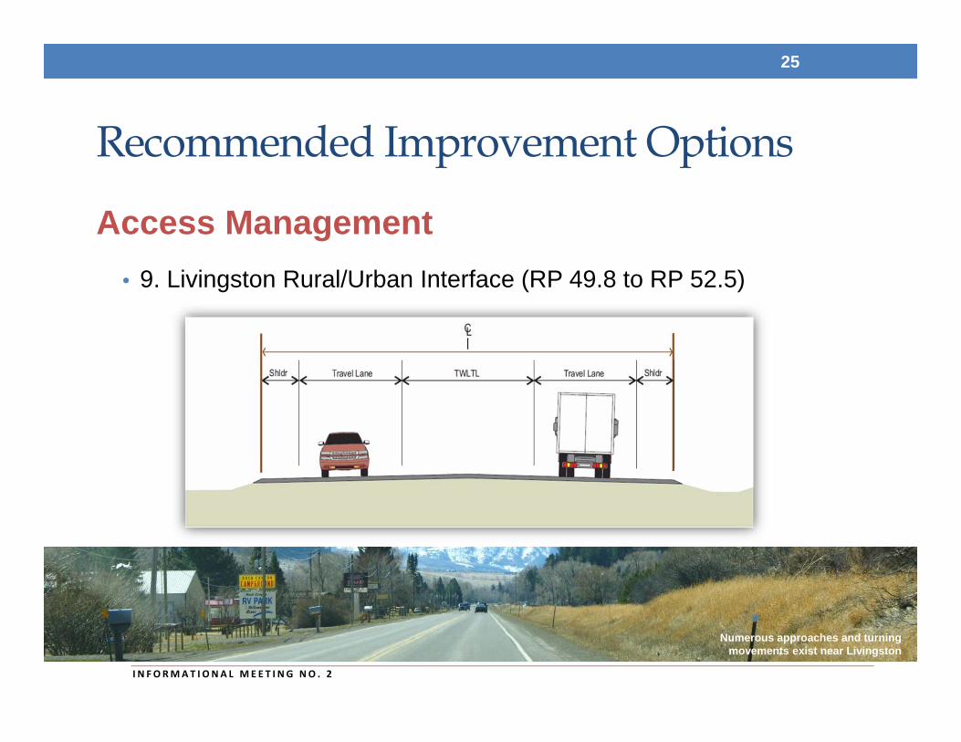
Access Management• 9. Livingston Rural/Urban Interface (RP 49.8 to RP 52.5)
25
I N FORMAT I ONA L MEE T I NG NO . 2
Numerous approaches and turning movements exist near Livingston
Recommended Improvement Options
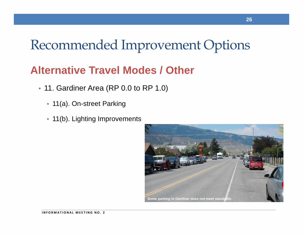
Alternative Travel Modes / Other• 11. Gardiner Area (RP 0.0 to RP 1.0)
• 11(a). On-street Parking
• 11(b). Lighting Improvements
26
I N FORMAT I ONA L MEE T I NG NO . 2
Some parking in Gardiner does not meet standards
RECOMMENDED IMPROVEMENT OPTIONS TO BE IMPLEMENTED BY OTHERS
27
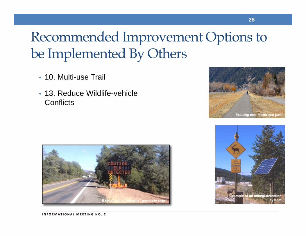
Recommended Improvement Options to be Implemented By Others
• 10. Multi-use Trail
• 13. Reduce Wildlife-vehicle Conflicts
28
I N FORMAT I ONA L MEE T I NG NO . 2
Existing non-motorized path
Example of a “variable” message signExample of an animal detection
system
OTHER IMPROVEMENT OPTIONS CONSIDERED
29
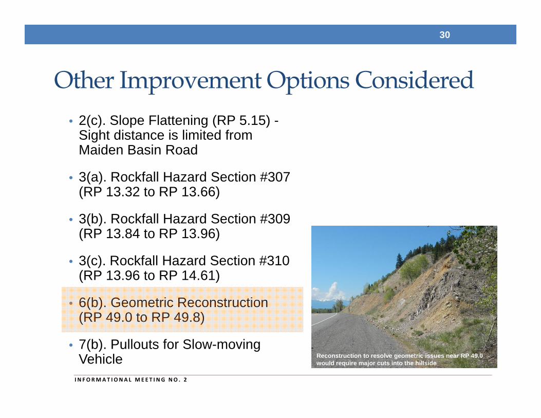
Other Improvement Options Considered• 2(c). Slope Flattening (RP 5.15) -
Sight distance is limited from Maiden Basin Road
• 3(a). Rockfall Hazard Section #307 (RP 13.32 to RP 13.66)
• 3(b). Rockfall Hazard Section #309 (RP 13.84 to RP 13.96)
• 3(c). Rockfall Hazard Section #310 (RP 13.96 to RP 14.61)
• 6(b). Geometric Reconstruction (RP 49.0 to RP 49.8)
• 7(b). Pullouts for Slow-moving Vehicle
30
I N FORMAT I ONA L MEE T I NG NO . 2
Reconstruction to resolve geometric issues near RP 49.0 would require major cuts into the hillside
Other Improvement Options Considered• 7(d). Four- or Five-lane Typical Section
• 7(e). Alternating Passing Lanes
• 8. Access Management Plan
• 12. Vegetation Management Plan
• 13. Wildlife Conservation Assessment
• 14. Wash-out Area (RP 8.7)
31
I N FORMAT I ONA L MEE T I NG NO . 2
NEXT STEPS AND CONCLUSION
32

Next Steps• Receive and consider comments on draft corridor study report from:• Public
• Stakeholders
• Resource agencies
• Review with study planning team
• Prepare final corridor study report
• Post to study website, distribute and conclude process
33
I N FORMAT I ONA L MEE T I NG NO . 2
Comment Period Runs From February 21 thru March 14, 2014.
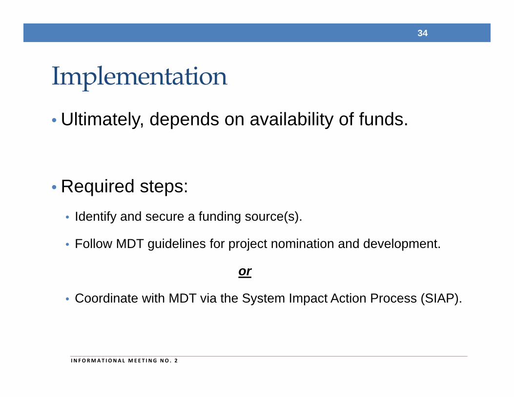
Implementation• Ultimately, depends on availability of funds.
• Required steps:• Identify and secure a funding source(s).
• Follow MDT guidelines for project nomination and development.
or
• Coordinate with MDT via the System Impact Action Process (SIAP).
34
I N FORMAT I ONA L MEE T I NG NO . 2
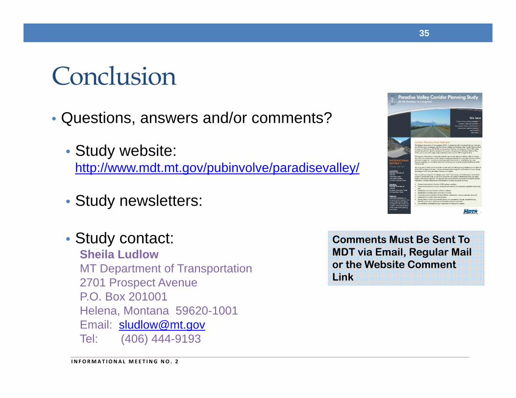
Conclusion• Questions, answers and/or comments?
• Study website: http://www.mdt.mt.gov/pubinvolve/paradisevalley/
• Study newsletters:
• Study contact:Sheila LudlowMT Department of Transportation2701 Prospect AvenueP.O. Box 201001Helena, Montana 59620-1001Email: [email protected]: (406) 444-9193
35
I N FORMAT I ONA L MEE T I NG NO . 2
Comments Must Be Sent To MDT via Email, Regular Mail or the Website Comment Link