Impact Conference The Wharton School University of Pennsylvania August 21, 2002 Alan Stevens Alan...
18
Impact Conference Impact Conference The Wharton School The Wharton School University of Pennsylvania University of Pennsylvania August 21, 2002 August 21, 2002 Alan Stevens Alan Stevens International Program Manager International Program Manager US Federal Geographic Data Committee US Federal Geographic Data Committee Global Spatial Data Infrastructure (GSDI) Global Spatial Data Infrastructure (GSDI) [email protected] [email protected] +703-648-5119 +703-648-5119
-
Upload
reynard-french -
Category
Documents
-
view
216 -
download
0
Transcript of Impact Conference The Wharton School University of Pennsylvania August 21, 2002 Alan Stevens Alan...

Impact Conference Impact Conference The Wharton SchoolThe Wharton School
University of PennsylvaniaUniversity of PennsylvaniaAugust 21, 2002August 21, 2002
Alan StevensAlan Stevens
International Program ManagerInternational Program Manager
US Federal Geographic Data CommitteeUS Federal Geographic Data Committee
Global Spatial Data Infrastructure (GSDI) Global Spatial Data Infrastructure (GSDI)
[email protected][email protected]
+703-648-5119+703-648-5119
GeographyGeography: : To Advance Business & To Advance Business & Government Using …….Government Using …….
The Power of “Place” to Support The Power of “Place” to Support
Decision MakingDecision Making

How do we make decisions on these
critical issues? Reducing crimeReducing crime Enhancing public Enhancing public
safetysafety Containing costsContaining costs
Managing growthManaging growth Improving Improving
accountabilityaccountability Protecting the Protecting the
environmentenvironment
Geographic Information Systems (GIS)
Geographic Information Systems (GIS)
Giving decision-makers the power to make more informed decisions.
Giving decision-makers the power to make more informed decisions.
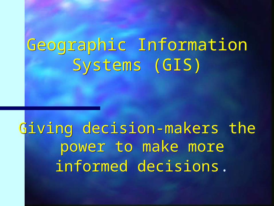
N.C. Department of Public Instruction wanted to manage
school buses more efficiently.
N.C. Department of Public Instruction wanted to manage
school buses more efficiently.
North Carolina Department
of Public Instruction
North Carolina Department
of Public Instruction
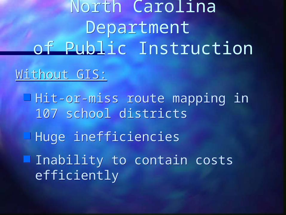
Hit-or-miss route mapping in 107 school districts
Huge inefficiencies
Inability to contain costs efficiently
Hit-or-miss route mapping in 107 school districts
Huge inefficiencies
Inability to contain costs efficiently
Without GIS:Without GIS:

North Carolina Department
of Public Instruction
North Carolina Department
of Public InstructionWith GIS:
Developed pilot program more than 15 years ago
Mandated use of GIS by all districts statewide in 1992
State funding incentives reward efficiency: fewer buses, better routes
With GIS:
Developed pilot program more than 15 years ago
Mandated use of GIS by all districts statewide in 1992
State funding incentives reward efficiency: fewer buses, better routes

North Carolina Department
of Public Instruction
North Carolina Department
of Public InstructionResults:
In the 1994-95 school year:- more than 500 fewer buses were needed
statewide than originally estimated- 15,000,000 fewer miles were driven than
originally estimated
Between 1990 & 1996:- the state saved over 2,000,000 gallons of fuel
Results:
In the 1994-95 school year:- more than 500 fewer buses were needed
statewide than originally estimated- 15,000,000 fewer miles were driven than
originally estimated
Between 1990 & 1996:- the state saved over 2,000,000 gallons of fuel
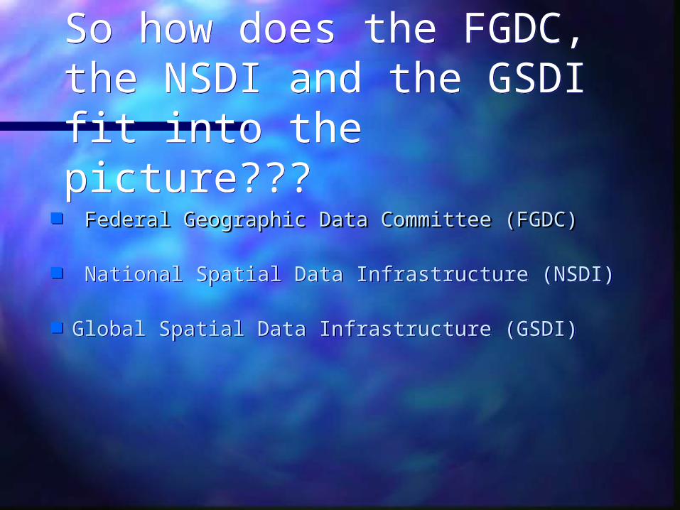
So how does the FGDC, the NSDI and the GSDI fit into the picture???
So how does the FGDC, the NSDI and the GSDI fit into the picture???
Federal Geographic Data Committee (FGDC)Federal Geographic Data Committee (FGDC)
National Spatial Data Infrastructure (NSDI)
Global Spatial Data Infrastructure (GSDI)
Federal Geographic Data Committee (FGDC)Federal Geographic Data Committee (FGDC)
National Spatial Data Infrastructure (NSDI)
Global Spatial Data Infrastructure (GSDI)

Realities Among DataRealities Among Data
Relevant data is often hard to find and in Relevant data is often hard to find and in incompatible forms.incompatible forms.
Information describing data is often non-Information describing data is often non-existent.existent.
Framework data does not exist for broad Framework data does not exist for broad geographic areas.geographic areas.
Data sharing across organizations is Data sharing across organizations is inconsistent.inconsistent.
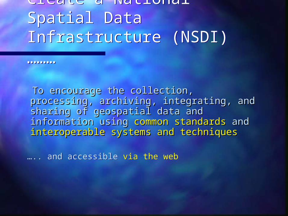
Create a National Spatial Data Infrastructure (NSDI) ………
Create a National Spatial Data Infrastructure (NSDI) ………
To encourage the collection, processing, To encourage the collection, processing, archiving, integrating, and sharing of archiving, integrating, and sharing of geospatial data and information using geospatial data and information using common standardscommon standards and and interoperable interoperable systems and techniquessystems and techniques
….. and accessible via the web

Aerial Imagery
Elevation
Geodetic Control
Boundaries
Surface Waters
Transportation
Land Ownership
Other Thematic DataOther Thematic DataFramework Data
Framework Data
Relationships Among DataRelationships Among DataBuild Once, Use Many TimesBuild Once, Use Many TimesRelationships Among DataRelationships Among Data
Build Once, Use Many TimesBuild Once, Use Many Times
Soils
Sewer Lines
Water Lines
Landcover
Demographics
Flood Zones

Core Components of the Core Components of the NSDINSDI
Partnerships
MetadataMetadata
GEOdataGEOdata
Clearinghouse (catalog)Clearinghouse (catalog)
FrameworkFramework
StandardsStandards

The Federal Geographic DataCommittee …. what’s new?
The Federal Geographic DataCommittee …. what’s new?
Geospatial One-StopGeospatial One-Stop– E-govE-gov– E-comE-com
Implementation Teams (I-Teams) Homeland security
Geospatial One-StopGeospatial One-Stop– E-govE-gov– E-comE-com
Implementation Teams (I-Teams) Homeland security
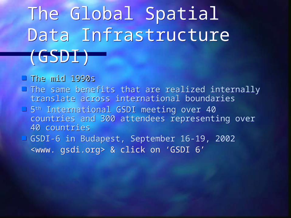
The Global Spatial Data Infrastructure (GSDI)The Global Spatial Data Infrastructure (GSDI)
The mid 1990sThe mid 1990s The same benefits that are realized internally
translate across international boundaries 5th International GSDI meeting over 40 countries
and 300 attendees representing over 40 countries
GSDI-6 in Budapest, September 16-19, 2002 <www. gsdi.org> & click on ‘GSDI 6’
The mid 1990sThe mid 1990s The same benefits that are realized internally
translate across international boundaries 5th International GSDI meeting over 40 countries
and 300 attendees representing over 40 countries
GSDI-6 in Budapest, September 16-19, 2002 <www. gsdi.org> & click on ‘GSDI 6’
The Global Spatial Data Infrastructure (GSDI)The Global Spatial Data Infrastructure (GSDI)
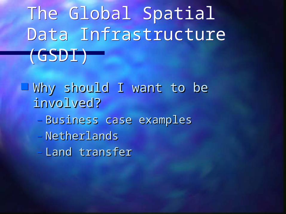
Why should I want to be involved?Why should I want to be involved?– Business case examplesBusiness case examples– NetherlandsNetherlands– Land transferLand transfer
Why should I want to be involved?Why should I want to be involved?– Business case examplesBusiness case examples– NetherlandsNetherlands– Land transferLand transfer
The Global Spatial Data Infrastructure …. what’s next?
The Global Spatial Data Infrastructure …. what’s next?
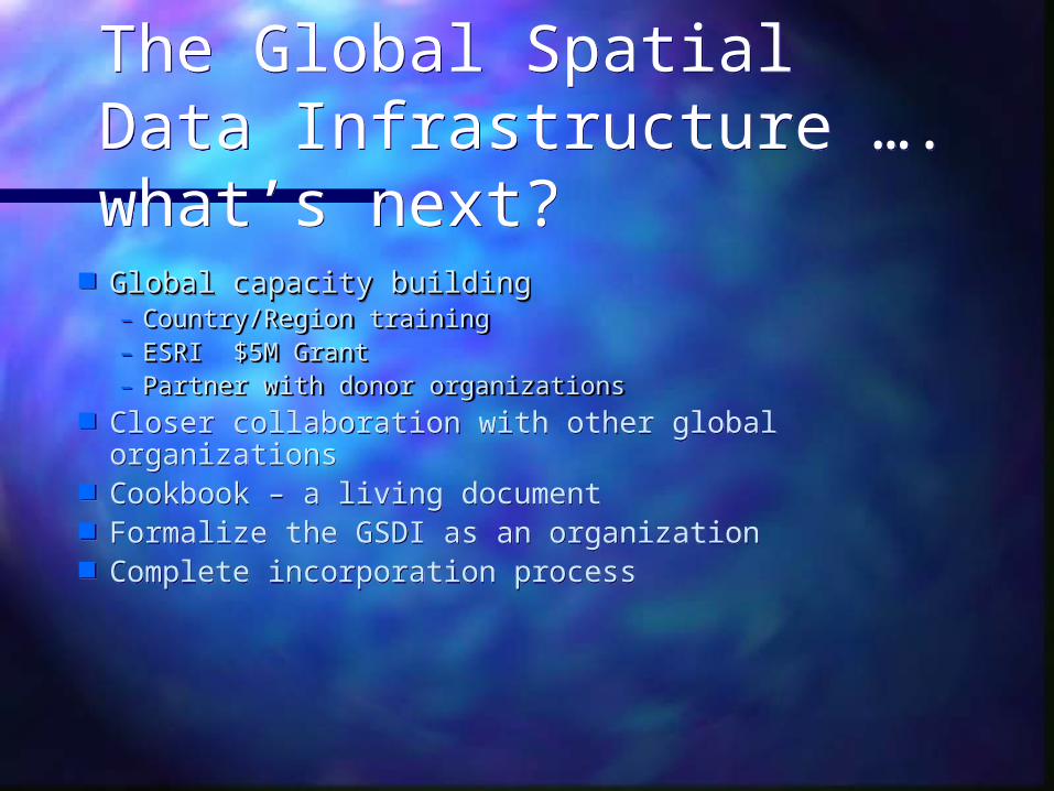
Global capacity buildingGlobal capacity building– Country/Region trainingCountry/Region training– ESRI $5M GrantESRI $5M Grant– Partner with donor organizationsPartner with donor organizations
Closer collaboration with other global organizations Cookbook – a living document Formalize the GSDI as an organization Complete incorporation process

Additional InformationAdditional Information
www.gsdi.orgwww.gsdi.org Global Spatial Data Global Spatial Data InfrastructureInfrastructure
www.fgdc.govwww.fgdc.gov Federal Geographic Federal Geographic Data CommitteeData Committee
www.opengis.orgwww.opengis.org Open GIS ConsortiumOpen GIS Consortium
www.erogi.orgwww.erogi.org European Umbrella European Umbrella Org. for Geog. Info.Org. for Geog. Info.
www.cpidea.org.cowww.cpidea.org.co Permanent Comm. For Permanent Comm. For the Americas the Americas
www.www.permcompermcom..apgisapgis..govgov.au/.au/ PCGIAPPCGIAP