IkeGPS Seismic Survey Case Study
2
ikeGPS™ Case Study Tidelands Geophysical Enhances Onshore Seismic Surveys With ikeGPS™ Industry: Oil and Gas User: Tidelands Geophysical, Texas, Oklahoma, Colorado, USA & Canada Before onshore seismic exploration surveys can proceed, survey companies must map out potential hazards or obstructions that can block or delay the progress of seismic crews and their equipment. In urban areas this is particularly challenging, since there are houses, buildings, roads, bridges, signs and a multitude of potential hazards that must be avoided. In many cases there are property restrictions that prevent survey crews from obtaining accurate locations of these obstructions, which slows down field data collection and can produce mapping errors. Imagine the frustration of crews laying out seismic survey lines who suddenly and unexpectedly find a house directly in their path! This kind of frustration costs time and money, as it may require moving and resurveying the line. Rick Gay, Advance Operations Supervisor for Tidelands Geophysical, has lived with this kind of frustration his entire career. Only recently has the technology become available to accurately map seismic survey obstructions and hazards from a remote location, and Rick’s tool of choice is ikeGPS™. Using ikeGPS™ mobile GIS systems, Rick’s crews can create accurate survey planning maps quickly and efficiently. Tidelands Geophysical Enhances Onshore Seismic Surveys With ikeGPS™ 1|2 August 2011
-
Upload
globalgeognss -
Category
Technology
-
view
376 -
download
0
Transcript of IkeGPS Seismic Survey Case Study

ikeGPS™ Case Study
Tidelands Geophysical Enhances Onshore Seismic Surveys With ikeGPS™
Industry: Oil and GasUser: Tidelands Geophysical, Texas, Oklahoma, Colorado, USA & Canada
Before onshore seismic exploration surveys can proceed, survey companies must map out potential hazards or obstructions that can block or delay the progress of seismic crews and their equipment. In urban areas this is particularly challenging, since there are houses, buildings, roads, bridges, signs and a multitude of potential hazards that must be avoided. In many cases there are property restrictions that prevent survey crews from obtaining accurate locations of these obstructions, which slows down field data collection and can produce mapping errors. Imagine the frustration of crews laying out seismic survey lines who suddenly and unexpectedly find a house directly in their path! This kind of frustration costs time and money, as it may require moving and resurveying the line.
Rick Gay, Advance Operations Supervisor for Tidelands Geophysical, has lived with this kind of frustration his entire career. Only recently has the technology become available to accurately map seismic survey obstructions and hazards from a remote location, and Rick’s tool of choice is ikeGPS™. Using ikeGPS™ mobile GIS systems, Rick’s crews can create accurate survey planning maps quickly and efficiently.
Tidelands Geophysical Enhances Onshore Seismic Surveys With ikeGPS™ 1|2 August 2011
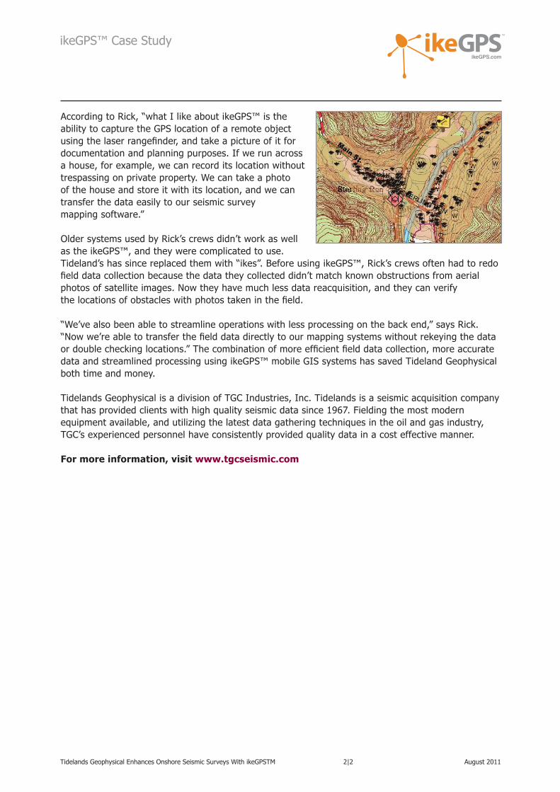
According to Rick, “what I like about ikeGPS™ is the ability to capture the GPS location of a remote object using the laser rangefinder, and take a picture of it for documentation and planning purposes. If we run across a house, for example, we can record its location without trespassing on private property. We can take a photo of the house and store it with its location, and we can transfer the data easily to our seismic survey mapping software.”
Older systems used by Rick’s crews didn’t work as well as the ikeGPS™, and they were complicated to use. Tideland’s has since replaced them with “ikes”. Before using ikeGPS™, Rick’s crews often had to redo field data collection because the data they collected didn’t match known obstructions from aerial photos of satellite images. Now they have much less data reacquisition, and they can verify the locations of obstacles with photos taken in the field.
“We’ve also been able to streamline operations with less processing on the back end,” says Rick. “Now we’re able to transfer the field data directly to our mapping systems without rekeying the data or double checking locations.” The combination of more efficient field data collection, more accurate data and streamlined processing using ikeGPS™ mobile GIS systems has saved Tideland Geophysical both time and money.
Tidelands Geophysical is a division of TGC Industries, Inc. Tidelands is a seismic acquisition company that has provided clients with high quality seismic data since 1967. Fielding the most modern equipment available, and utilizing the latest data gathering techniques in the oil and gas industry, TGC’s experienced personnel have consistently provided quality data in a cost effective manner.
For more information, visit www.tgcseismic.com
Tidelands Geophysical Enhances Onshore Seismic Surveys With ikeGPSTM 2|2 August 2011
ikeGPS™ Case Study