Groundwater modeling using GIS technology Jessie Ackerman.
16
Groundwater modeling using GIS technology Jessie Ackerman
-
date post
21-Dec-2015 -
Category
Documents
-
view
215 -
download
1
Transcript of Groundwater modeling using GIS technology Jessie Ackerman.

Groundwater modeling using GIS technology
Jessie Ackerman

Introduction
• Groundwater is an important freshwater resource
• Groundwater is held in aquifers
• Studying groundwater is difficult because it’s underground
• Groundwater modeling was developed to understand what’s going on
• Modeling has developed as new technologies have developed
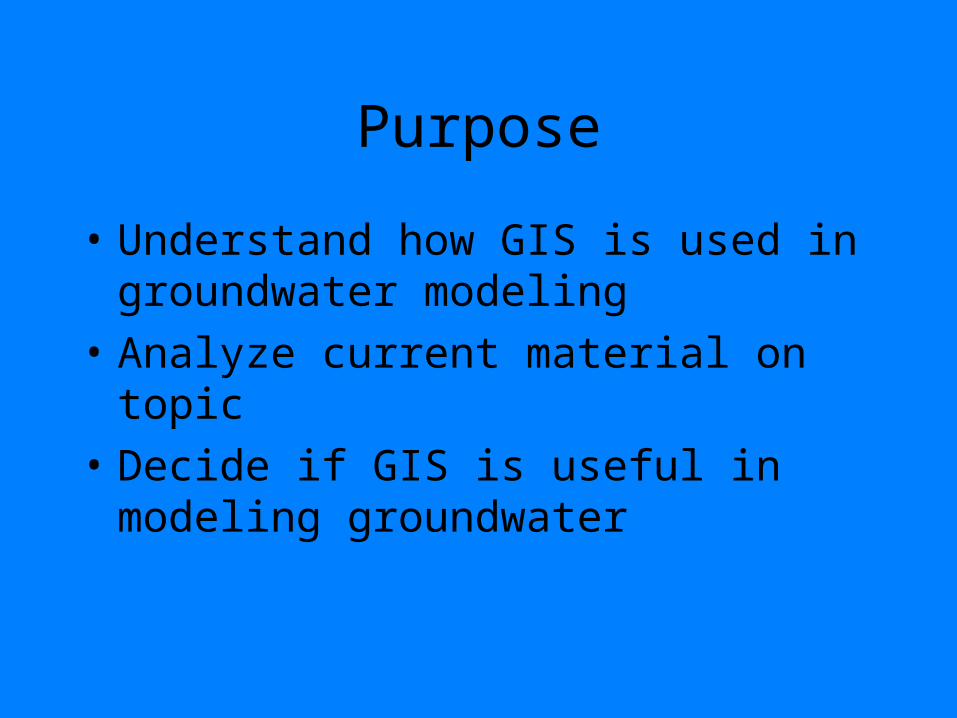
Purpose
• Understand how GIS is used in groundwater modeling
• Analyze current material on topic
• Decide if GIS is useful in modeling groundwater

Basics of groundwater
• Darcy’s Law
Q = - Ksat*A*dh/dx • Understanding of flow• Modeling developed
first from an understanding of Darcy’s Law

Groundwater modeling
• Field data including hydrological inputs, hydraulic parameters and initial and boundary conditions are gathered
• Data input into modeling software
• Models can be 1-D, 2-D, semi 3-D and 3-D

1-D model

2-D model

Semi 3-D model
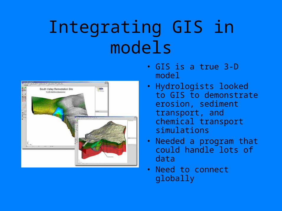
Integrating GIS in models
• GIS is a true 3-D model• Hydrologists looked to
GIS to demonstrate erosion, sediment transport, and chemical transport simulations
• Needed a program that could handle lots of data
• Need to connect globally

Basics of GIS
• A computer system designed to process information with a spatial content dimension
• Composed of a geographical database and a toolkit
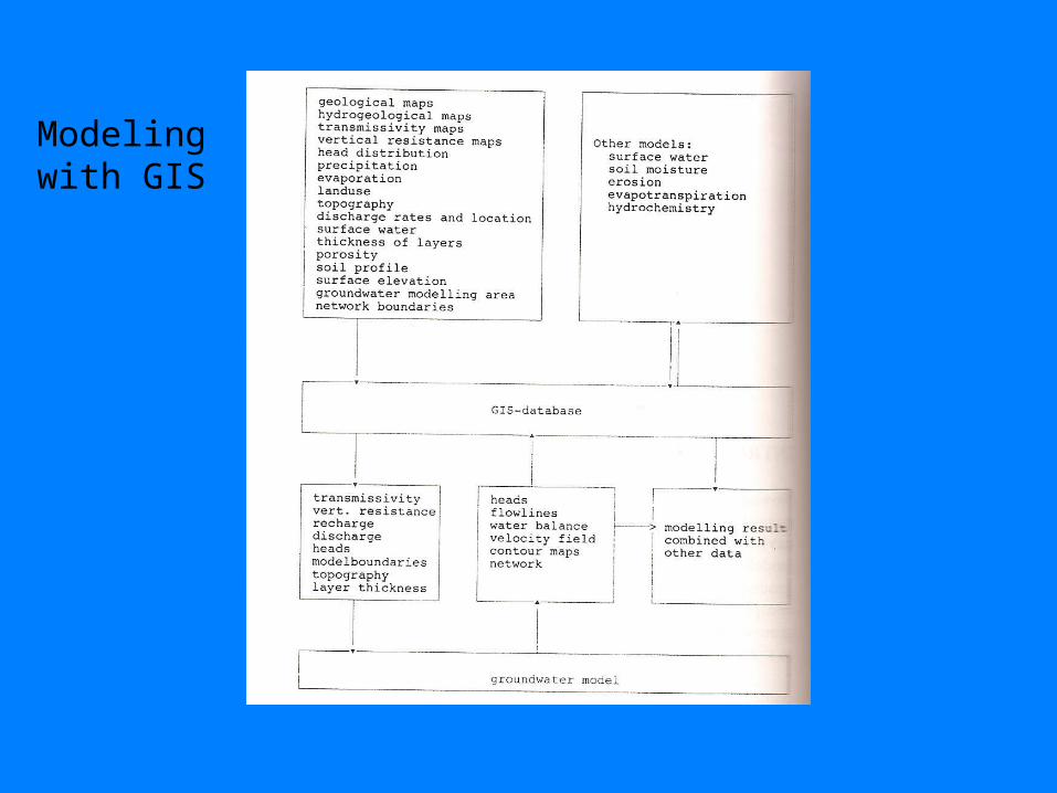
Modeling with GIS

Example using GIS technology
• Searching for suitable area to tap aquifer near a landfill or other area of possible contamination
• Landfill data and aquifer data input into GIS model
• Program runs all possible situations

Work being done now using GIS technology
• Recharge and discharge rates of aquifers
• Used to make important decisions about water management
• Illinois State Water Survey and University of Illinois

Buena Vista Ground Water Basin, Wisconsin

Analysis of resources
• All but one source spoke well of using GIS within groundwater modeling
• One source just tells hydrologists to be wary in using only GIS software to model groundwater

Conclusions
• Gained an understanding of how GIS is used in groundwater modeling
• GIS is very useful in creating 3-D models that incorporate lots of data
• The best way to know if any advanced model is right is to go through it the long way first than to take shortcuts