Globes and Maps TEKS WG.13a; 21a-c,e; 22e. Globes Globes are three dimensional representations of...
22
Globes and Maps TEKS WG.13a; 21a-c,e; 22e
-
Upload
whitney-james -
Category
Documents
-
view
230 -
download
1
Transcript of Globes and Maps TEKS WG.13a; 21a-c,e; 22e. Globes Globes are three dimensional representations of...
Globes and MapsTEKS WG.13a; 21a-c,e; 22e
Globes and MapsTEKS WG.13a; 21a-c,e; 22e
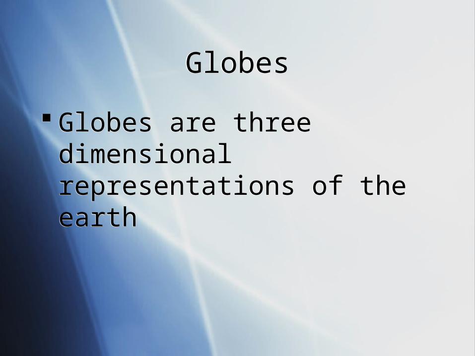
GlobesGlobes
Globes are three dimensional representations of the earth
Globes are three dimensional representations of the earth
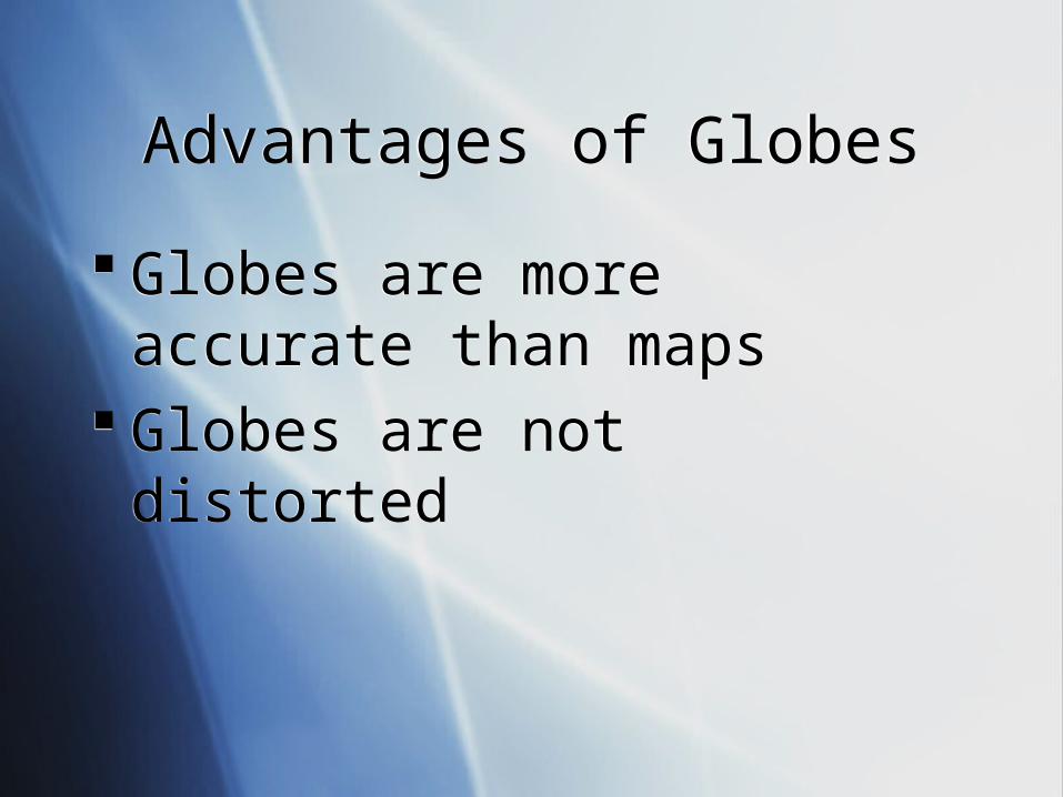
Advantages of GlobesAdvantages of Globes
Globes are more accurate than maps
Globes are not distorted
Globes are more accurate than maps
Globes are not distorted
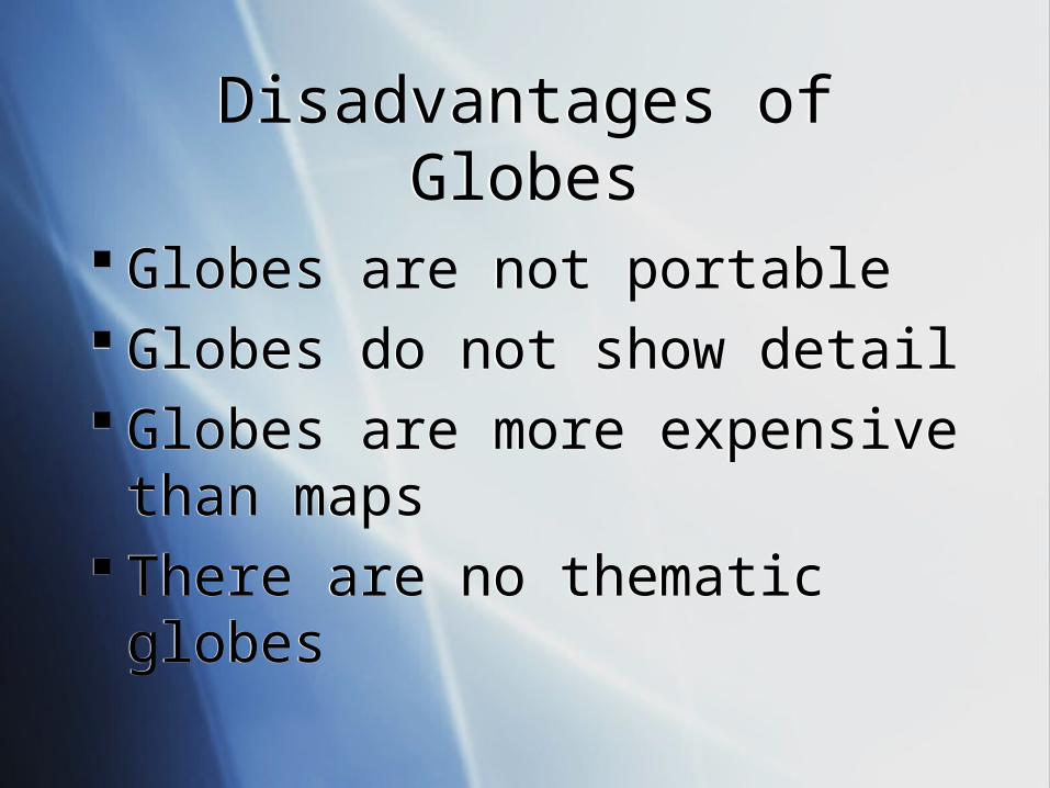
Disadvantages of GlobesDisadvantages of Globes
Globes are not portable Globes do not show detail Globes are more expensive than
maps There are no thematic globes
Globes are not portable Globes do not show detail Globes are more expensive than
maps There are no thematic globes

MapsMaps
Maps are two dimensional representations of the earth
Maps are two dimensional representations of the earth
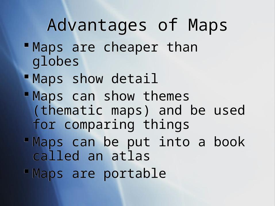
Advantages of MapsAdvantages of Maps Maps are cheaper than globes Maps show detail Maps can show themes (thematic
maps) and be used for comparing things
Maps can be put into a book called an atlas
Maps are portable
Maps are cheaper than globes Maps show detail Maps can show themes (thematic
maps) and be used for comparing things
Maps can be put into a book called an atlas
Maps are portable
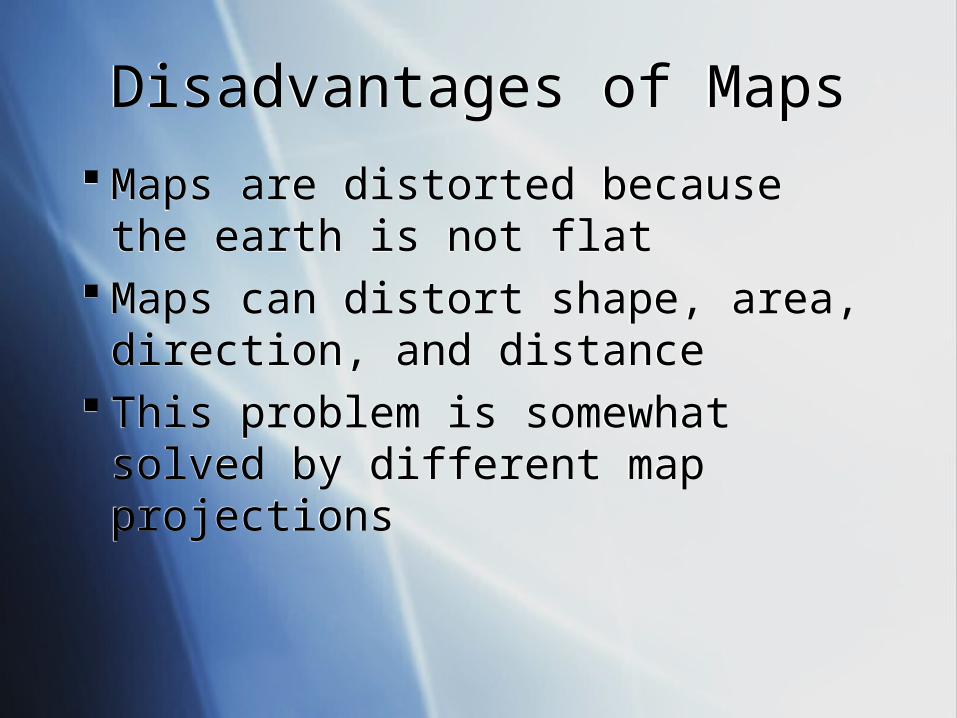
Disadvantages of MapsDisadvantages of Maps
Maps are distorted because the earth is not flat
Maps can distort shape, area, direction, and distance
This problem is somewhat solved by different map projections
Maps are distorted because the earth is not flat
Maps can distort shape, area, direction, and distance
This problem is somewhat solved by different map projections
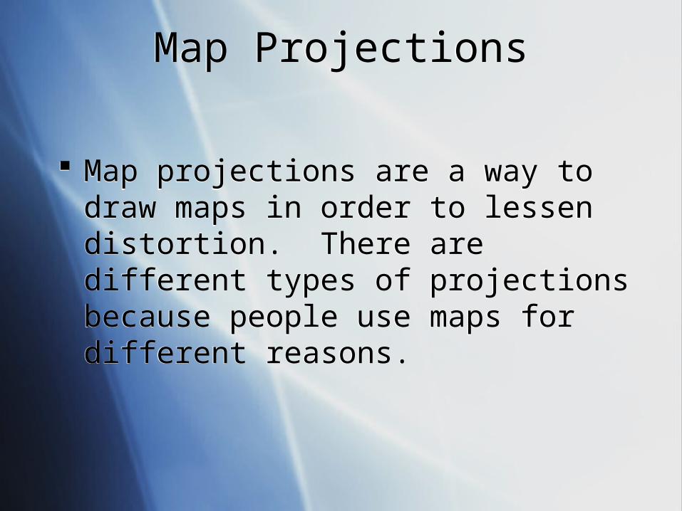
Map ProjectionsMap Projections
Map projections are a way to draw maps in order to lessen distortion. There are different types of projections because people use maps for different reasons.
Map projections are a way to draw maps in order to lessen distortion. There are different types of projections because people use maps for different reasons.
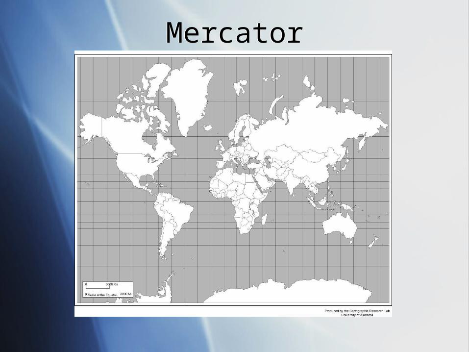
MercatorMercator
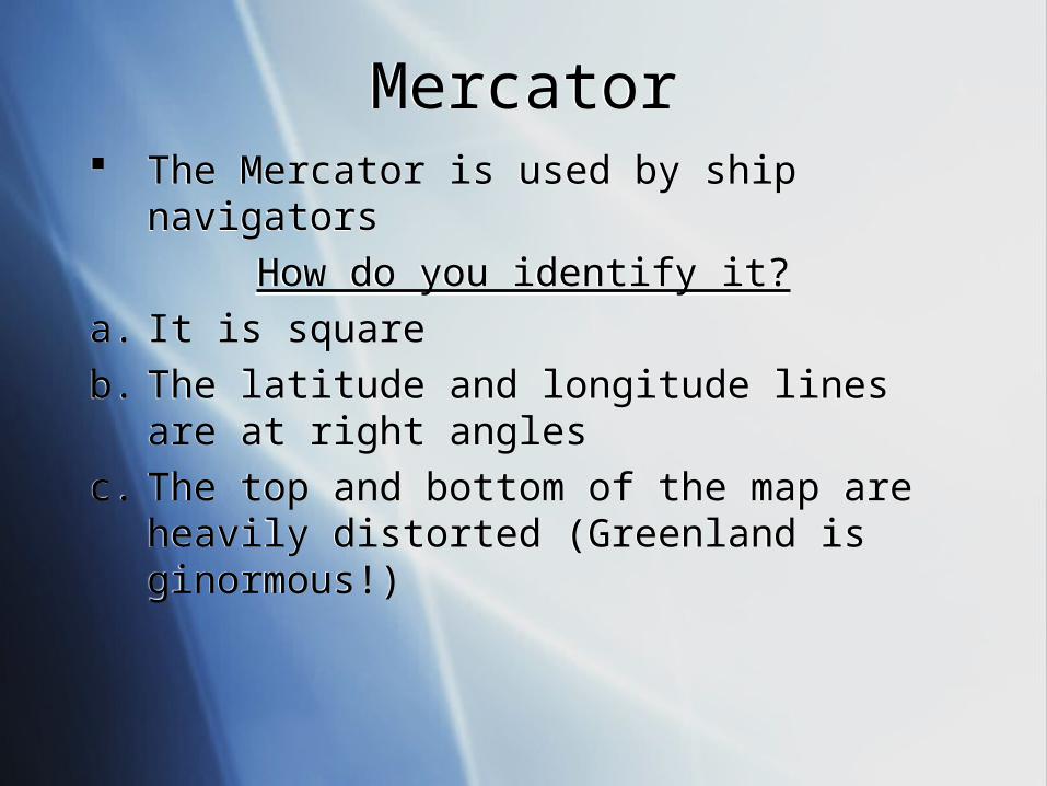
MercatorMercator The Mercator is used by ship navigators
How do you identify it?
a. It is square
b. The latitude and longitude lines are at right angles
c. The top and bottom of the map are heavily distorted (Greenland is ginormous!)
The Mercator is used by ship navigators
How do you identify it?
a. It is square
b. The latitude and longitude lines are at right angles
c. The top and bottom of the map are heavily distorted (Greenland is ginormous!)
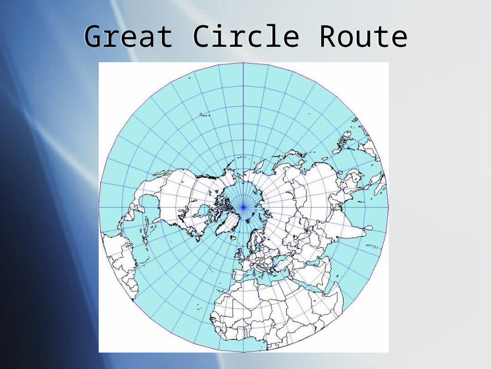
Great Circle RouteGreat Circle Route
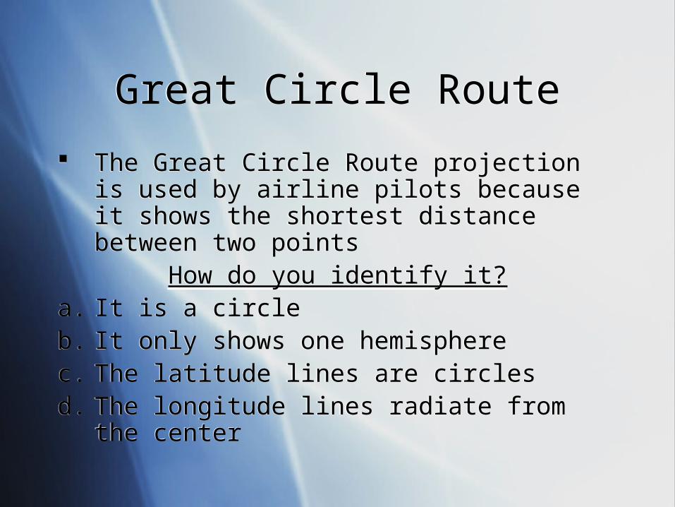
Great Circle RouteGreat Circle Route
The Great Circle Route projection is used by airline pilots because it shows the shortest distance between two points
How do you identify it?a. It is a circleb. It only shows one hemispherec. The latitude lines are circlesd. The longitude lines radiate from the center
The Great Circle Route projection is used by airline pilots because it shows the shortest distance between two points
How do you identify it?a. It is a circleb. It only shows one hemispherec. The latitude lines are circlesd. The longitude lines radiate from the center
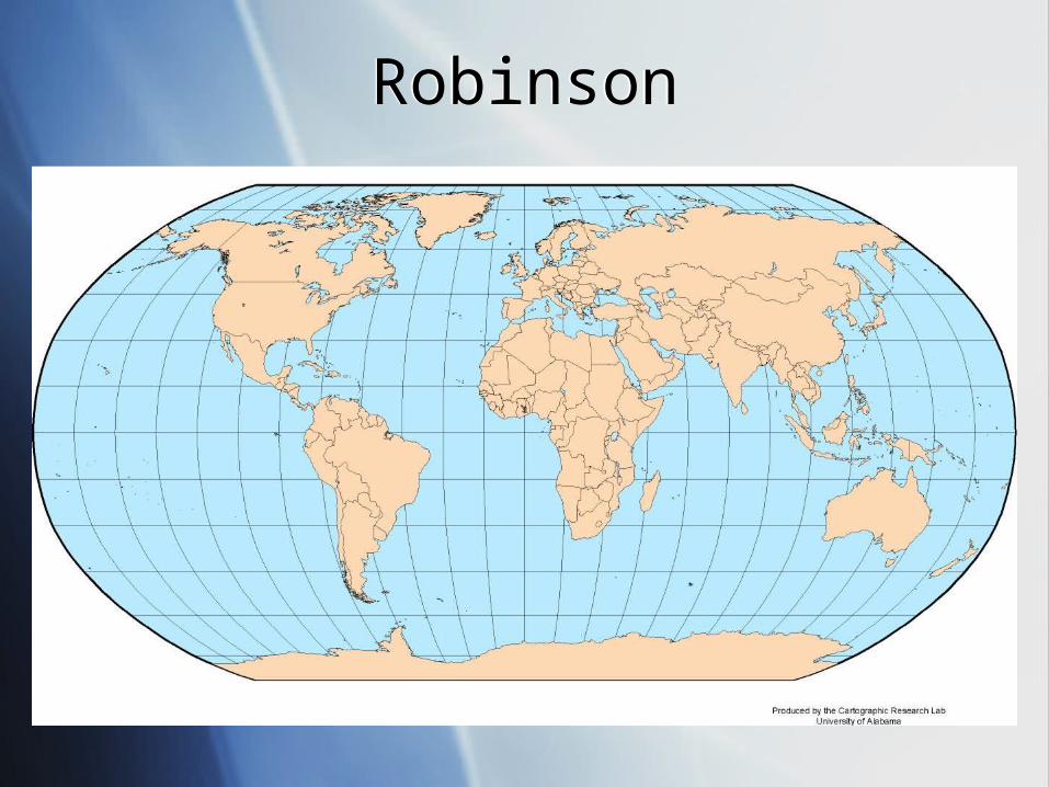
RobinsonRobinson
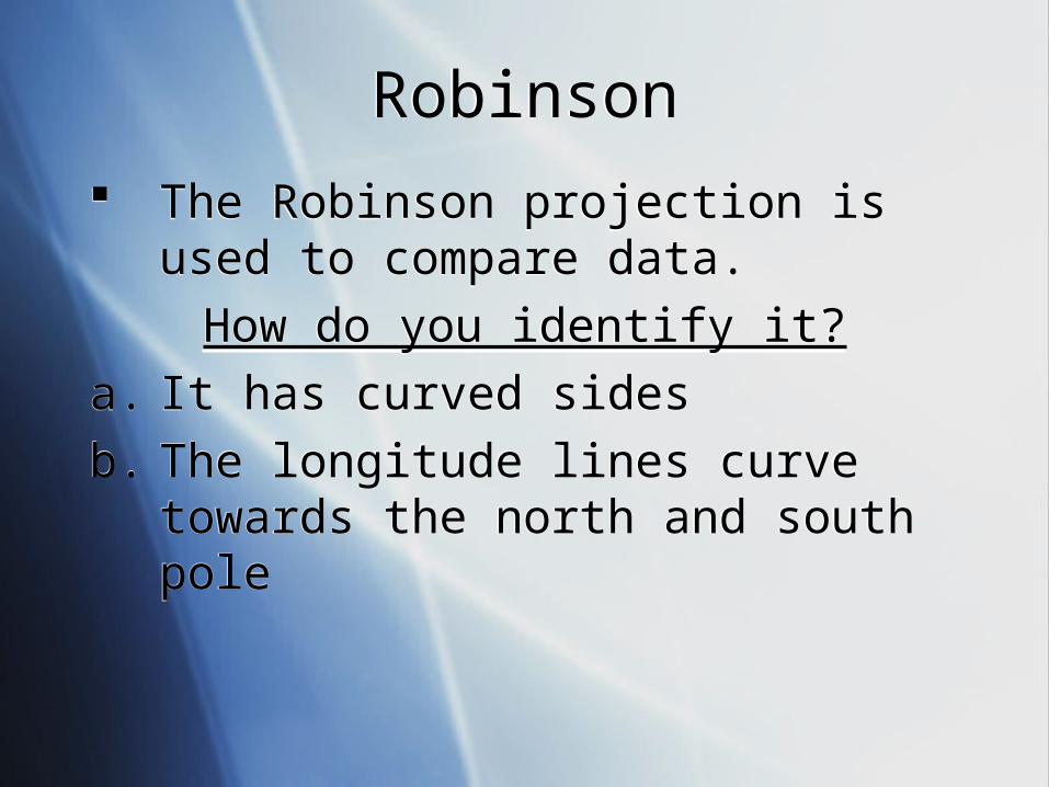
RobinsonRobinson
The Robinson projection is used to compare data.
How do you identify it?
a. It has curved sides
b. The longitude lines curve towards the north and south pole
The Robinson projection is used to compare data.
How do you identify it?
a. It has curved sides
b. The longitude lines curve towards the north and south pole
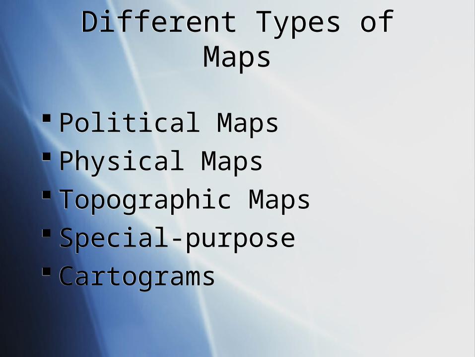
Different Types of MapsDifferent Types of Maps
Political Maps Physical Maps Topographic Maps Special-purpose Cartograms
Political Maps Physical Maps Topographic Maps Special-purpose Cartograms
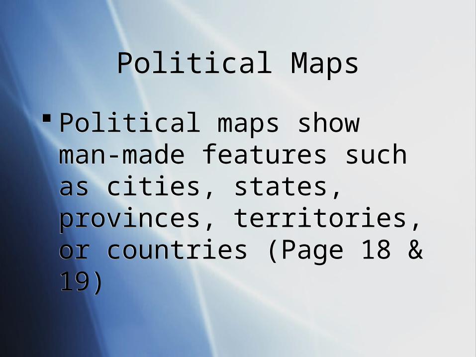
Political MapsPolitical Maps
Political maps show man-made features such as cities, states, provinces, territories, or countries (Page 18 & 19)
Political maps show man-made features such as cities, states, provinces, territories, or countries (Page 18 & 19)
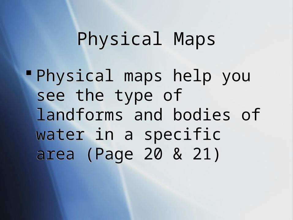
Physical MapsPhysical Maps
Physical maps help you see the type of landforms and bodies of water in a specific area (Page 20 & 21)
Physical maps help you see the type of landforms and bodies of water in a specific area (Page 20 & 21)
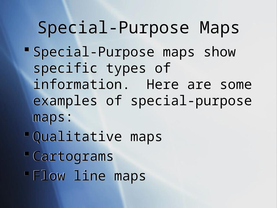
Special-Purpose MapsSpecial-Purpose Maps Special-Purpose maps show
specific types of information. Here are some examples of special-purpose maps:
Qualitative maps Cartograms Flow line maps
Special-Purpose maps show specific types of information. Here are some examples of special-purpose maps:
Qualitative maps Cartograms Flow line maps
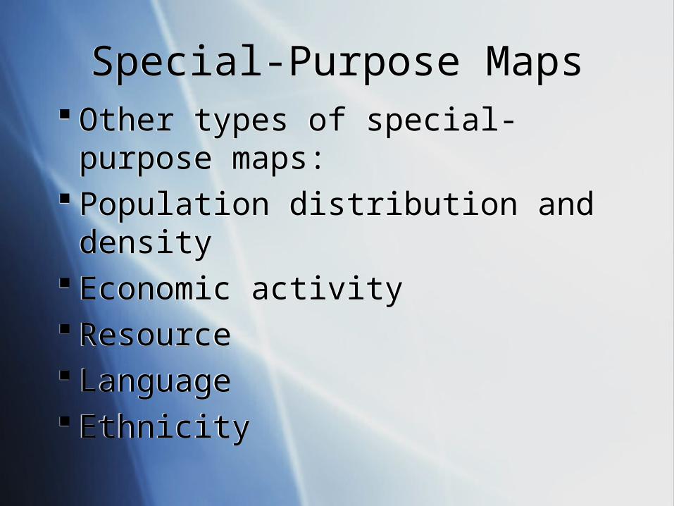
Special-Purpose MapsSpecial-Purpose Maps Other types of special-purpose
maps: Population distribution and density Economic activity Resource Language Ethnicity
Other types of special-purpose maps:
Population distribution and density Economic activity Resource Language Ethnicity
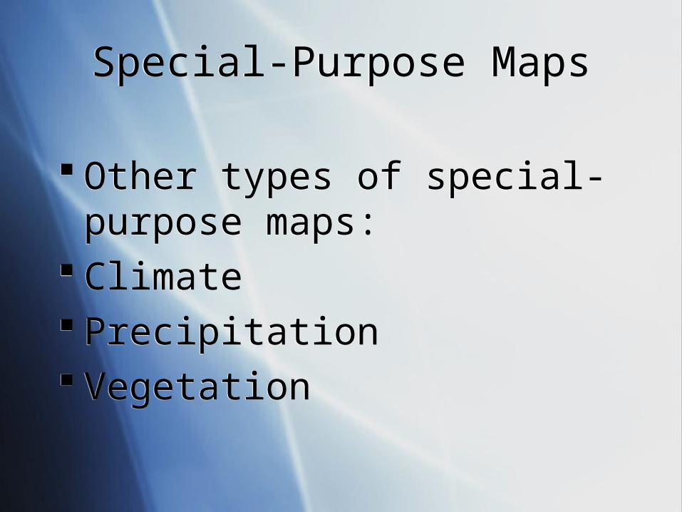
Special-Purpose MapsSpecial-Purpose Maps
Other types of special-purpose maps:
Climate Precipitation Vegetation
Other types of special-purpose maps:
Climate Precipitation Vegetation
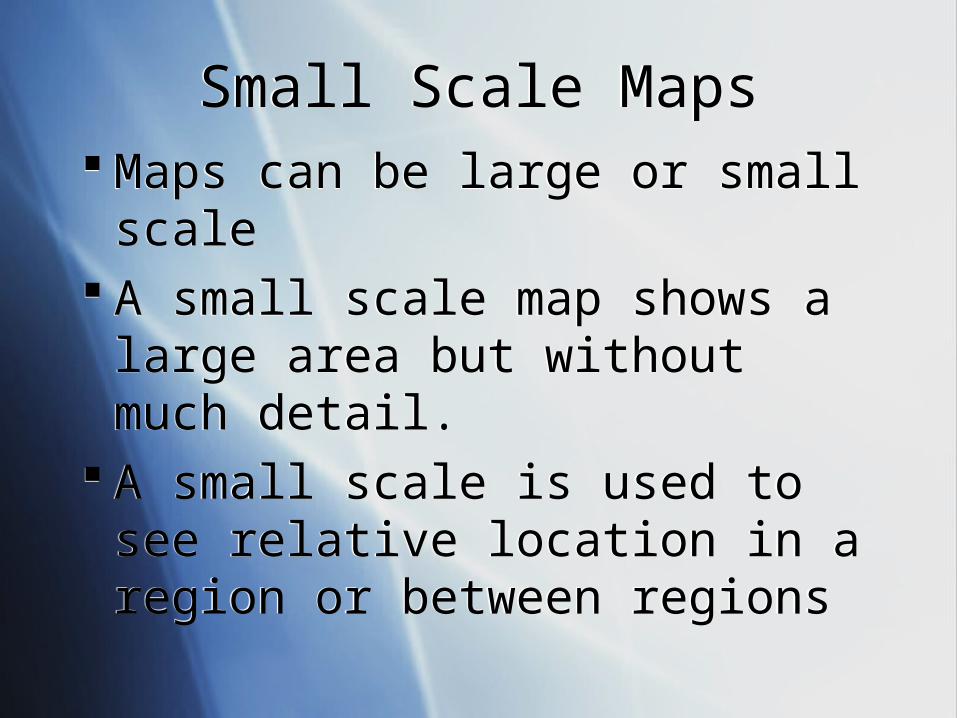
Small Scale MapsSmall Scale Maps Maps can be large or small scale A small scale map shows a large
area but without much detail. A small scale is used to see relative
location in a region or between regions
Maps can be large or small scale A small scale map shows a large
area but without much detail. A small scale is used to see relative
location in a region or between regions
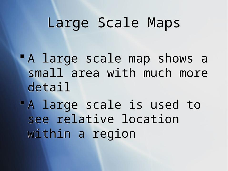
Large Scale MapsLarge Scale Maps
A large scale map shows a small area with much more detail
A large scale is used to see relative location within a region
A large scale map shows a small area with much more detail
A large scale is used to see relative location within a region