GIS Maps: Basic Terminology - University Of...
31
GIS Maps: Basic Terminology University of Illinois Library Eric Johnson - 2012
Transcript of GIS Maps: Basic Terminology - University Of...

GIS Maps: Basic Terminology University of Illinois Library
Eric Johnson - 2012

Goals for today
• Learn some GIS terms
• Learn how to find data and shape files
• Make some maps

Introductions
• Name • Department • A sentence about why you are here

GIS terms
• Thematic map • Choropleth • Latitude & Longitude • Projection • Layer • Shape file • Base map

Thematic Map
• A map with a theme • Usually shows landmarks so you know
where you are looking • Start with a base map, then add points,
symbols, and shapes to display a concept • This will probably be the type of map you
are interested in making
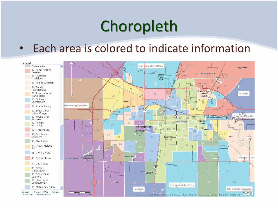
Choropleth • Each area is colored to indicate information

Symbol = information Location = geographic relationship
http://pokemonrusset.com/Info/Locations

What is this?
• A volcano • ice cream with flavor
chunks • Meteorite crater • Lunar surface • Mt. Kilimanjaro • Polar ice cap • child’s art project

Same location showing altitude instead of geologic formations
• A volcano • ice cream with flavor
chunks • Meteorite crater
• Lunar surface • Mt. Kilimanjaro • Polar ice cap • Son’s art project

Lunar Reconnaissance Orbiter using the Lunar Orbiter Laser Altimeter

Latitude & Longitude
Latitude & Longitude
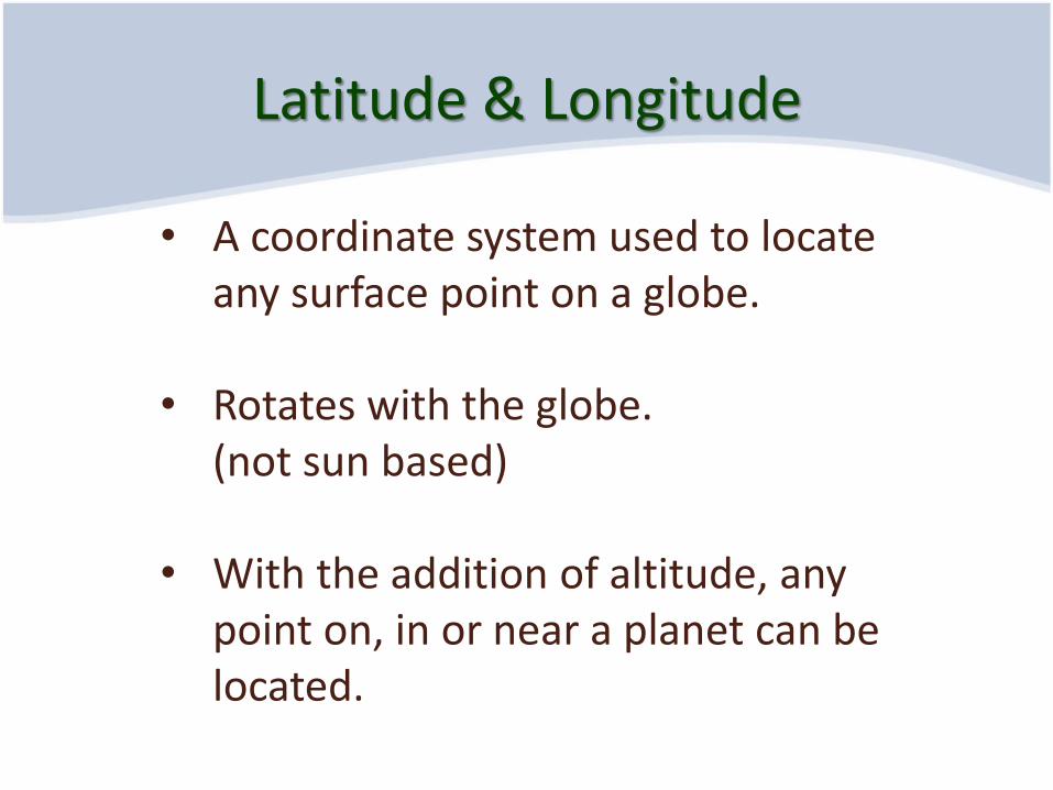
• A coordinate system used to locate any surface point on a globe.
• Rotates with the globe. (not sun based)
• With the addition of altitude, any point on, in or near a planet can be located.

Latitude & Longitude
http://www.flickr.com/photos/smithsonian/2940640045/

Latitude & Longitude
• Latitude = “parallels” • Are parallel on a globe • Measure North and South
• Longitude = “meridians”
• Long lines go North and South • Measure East and West.

Prime Meridian
• Zero point for measuring longitude
• Passes through the Royal Observatory in London
http://en.wikipedia.org/wiki/File:Greenwich_observatory_laser.jpg
Projections
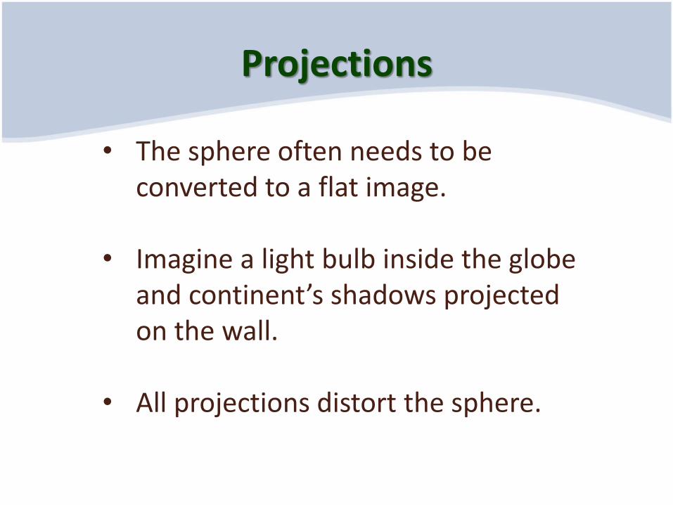
• The sphere often needs to be converted to a flat image.
• Imagine a light bulb inside the globe and continent’s shadows projected on the wall.
• All projections distort the sphere.

Equal Area, U.S.
• Attempts to keep areas correct
• Shapes and directions will be warped

Use the projection made for your region
NAD 1983- State Plane Colorado

We can make all latitudes straight
But, it stretches Canada and shrinks Texas

4 types of Layers
• Point (locations of cities) • Line (roads and rivers) • Polygon (shapes of states and counties) • Images (like background terrain)

Layers can be combined many ways
Roads + Terrain Layers

Planning your own map
• Data • Shape files (to visually hold the data) • Base map (the background geography)

Data: What information do you want to analyze or display?
• What is your question or problem? • Define what you want to visualize. • What point do you want to make? • What types of data did you collect? People, things, activities • When is the data? What time period(s)?
Shape files: The map outlines of the data
• If the data is about states, then you need the shape of each of state.
• Choropleth (“many areas”) maps fill each shape with a different color to indicate information.
• Shape files are also called “Polygon files”
Base map: an informative background for the data
• Helps the user know where the data is located.
• Gives other useful information such as terrain, roads and place names.

Data sources
• http://www.library.illinois.edu/datagis/ lists many excellent resources
• http://www.icpsr.umich.edu/icpsrweb/ICPSR/access/index.jsp (ICPSR) for social science data
• http://factfinder2.census.gov for U. S. census data

Historic data sources
• https://www.nhgis.org/ National Historical Geographic Information System
• Collection of census data and shape files both current and historic

US Census data
• Census data: American FactFinder http://factfinder2.census.gov/faces/nav/jsf/pages/index.xhtml
• Alternative portal to census data:
DataFerrett http://dataferrett.census.gov

Other workshops in this series
• Library GIS 101 – An introduction to some of the ways people are using GIS. Examples of maps and GIS tools in action.
• Library GIS 103 – ArcGIS: Importing images and giving them locations, creating shape files, shading areas of proximity

Survey
• What GIS skills would you like to learn?

For more help… • Scholarly Commons for one-on-one
consultation. http://www.library.illinois.edu/sc/
• ATLAS data services and GIS training http://www.atlas.illinois.edu/services/stats/workshops/registration/
• ArcGIS classes at U. of I.: ESE 379, GEOG 105, GEOG 379, LIS 490GIG, LIS 490GIL(online), NRES 454, UP 418, UP 519
• Links to numeric and spatial data http://www.library.illinois.edu/datagis/


![Making maps, many maps! [What is GIS?]](https://static.fdocuments.in/doc/165x107/568154c6550346895dc2cbe3/making-maps-many-maps-what-is-gis.jpg)