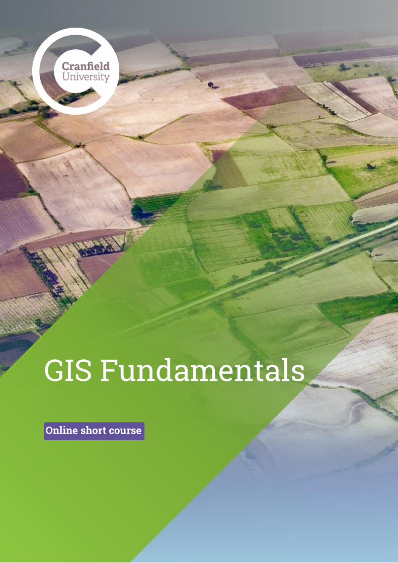
GIS Fundamentals
2
GIS Fundamentals Online short course
Transcript of GIS Fundamentals
GIS Fundamentals
Online short course
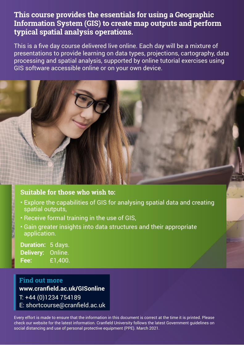
This course provides the essentials for using a Geographic Information System (GIS) to create map outputs and perform typical spatial analysis operations.
This is a five day course delivered live online. Each day will be a mixture of presentations to provide learning on data types, projections, cartography, data processing and spatial analysis, supported by online tutorial exercises using GIS software accessible online or on your own device.
Suitable for those who wish to:• Explore the capabilities of GIS for analysing spatial data and creating
spatial outputs,• Receive formal training in the use of GIS,• Gain greater insights into data structures and their appropriate
application.
Duration: 5 days.Delivery: Online. Fee: £1,400.
Find out morewww.cranfield.ac.uk/GISonlineT: +44 (0)1234 754189E: [email protected]
Every effort is made to ensure that the information in this document is correct at the time it is printed. Please check our website for the latest information. Cranfield University follows the latest Government guidelines on social distancing and use of personal protective equipment (PPE). March 2021.