Geographic Information Systems, Global Positioning Systems ... · Geographic Information Systems,...
24
Geographic Information Systems, Global Positioning Systems, and Spatial Analysis Tools in Support of Service Learning Content David A. Padgett Associate Professor of Geography Tennessee State University Nashville, Tennessee
Transcript of Geographic Information Systems, Global Positioning Systems ... · Geographic Information Systems,...

Geographic Information Systems, Global Positioning Systems, and
Spatial Analysis Tools in Support of Service Learning Content
David A. PadgettAssociate Professor of Geography
Tennessee State UniversityNashville, Tennessee
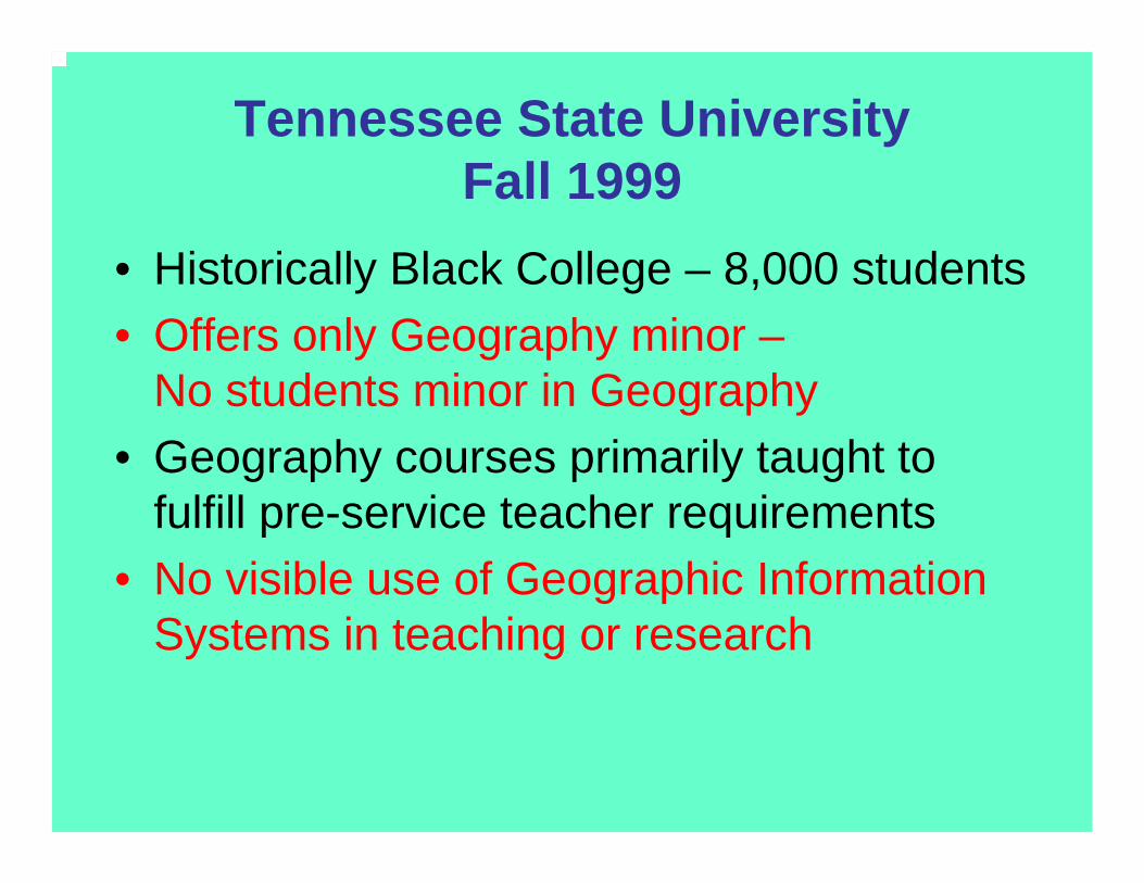
Tennessee State UniversityFall 1999
• Historically Black College – 8,000 students• Offers only Geography minor –
No students minor in Geography• Geography courses primarily taught to
fulfill pre-service teacher requirements• No visible use of Geographic Information
Systems in teaching or research

GIS Capacity Development at TSU Fall 1999-Summer 2000
• USDA 1890 HBCU Capacity Building Grantfunds used to launch Geographic Information Sciences (GISc) Laboratory
• NASA Center for Automated Space Sciences (CASS) program funds become available to support several undergraduate student researchers and expand the GISc Lab.
• GISc Lab formally established during summer 2000 with seven undergraduate student researchers on staff.

GISc Lab Urban/Environmental Studies Service Learning Development
Fall 2001 - Present• Massie Chair of Excellence in Environmental Science and
NASA Center for Automated Space Sciences (CASS)programs provide funding for GIS hardware and software and support for several undergraduate research assistants.
• The GISc Lab establishes informal working partnerships with Fisk University, Vanderbilt University, Meharry Medical College,the Mayor’s Office of Neighborhoods, the Neighborhoods Resource Center, EarthMatters Tennessee, and the Community at Bordeaux.
• GISc Lab research assistants and students enrolled in Cartography (GEOG 310) and Urban Geography (GEOG 485)engage in GIS-based environmental/urban studies-based service learning projects…

TSU Upper Division Geography Courses with Geographic
Information Systems Content
• Urban Geography (GEOG 4850) –Course content includes urban GIS applications. An “Urban GIS Term Paper” is required.
• Cartography (GEOG 3100) – Course content updated with GIS-based material. Students are required to complete a “hands-on” GIS project.

Challenge: Many social sciences majors have no background in Geography or GIS.
Classifications and Majors of Students Currently Enrolled in Urban Geography (GEOG 4850) for Spring 2005
Senior Arts and SciencesSenior History
SophomoreBusiness Administration
Senior Arts and SciencesSenior Political ScienceSenior HistorySenior English
SeniorUndecided Undergrad
JuniorBusiness Administration
Sophomore Biology

Challenge: Incorporating Service Learning Content into an Existing Course
•Time Constraints
•Student Attitudes Towards “Extra Work”
•Liability and Safety Issues
•“Community Time” vs “Academic Time”
•Service Learning vs Community Service

Challenges Faced in Adding GIS Content to Existing Courses
• Most students enrolled may have no background in Geography or Geographic Information Systems.
• The cost of texts may be a turn-off for students if course is an “elective.”
• The “learning curve” for some faculty members may be somewhat steep.

Classifications and Majors of Students Enrolled in Urban Geography (GEOG 4850) for Spring 2005
Senior Arts and SciencesSenior History
SophomoreBusiness Administration
Senior Arts and SciencesSenior Political ScienceSenior HistorySenior English
SeniorUndecided Undergrad
JuniorBusiness Administration
Sophomore Biology

Student Urban GIS Term Paper Topics in Urban Geography (GEOG 4850)
• GIS Mapping of Grocery Store Audits vs Local Demographic and Socioeconomic Data
• Impact of a Wal-Mart upon a Smyrna, Tennessee Community
• Comparison of the Demographics of two East Nashville Neighborhoods with Planned “Neighborhood Wal-Marts”
• Spatial Comparison of the Location of Check-Cashing Businesses vs. Full-Service Banks

Student Urban GIS Term Paper Topics in Urban Geography (GEOG 4850) (continued).
• Spatial Location of Abortion Clinics vsOrganizations Providing Alternatives to Abortion
• Should Nashville Invest in Expanding its Convention Center?
• Analysis of Land Uses Along a Planned Rev. Dr. Martin Luther King Boulevard Route.
• GPS and GIS Applications in the Development of a Black History/Urban Forestry Educational Walking Trail
• Population Changes Among Immigrant Residents: Nashville, Tennessee 1990-2000

Cartography (GEOG 3100) Student “Hands On” GIS Projects
• GIS Applications in Assessing the Impacts of an Interstate Highway upon an Historically Significant African American Community in Nashville, Tennessee
• GIS Applications in Determining the Impacts of Toxic Chemical Releases Upon a North Memphis Community
• Spatial Analysis of HIV/AIDS Cases in Washington, DC

Undergraduate Research Topics 2001- 2005
TSU Geographic Information Sciences Lab
• Applications of Geographic Information Systems and Related Technologies in the Analysis of Human/Wildlife Interactions in an Urban Forest
• GIS and GPS Applications in Public Transit Accessibility Assessment
• Development of a GIS Lab to Empower an Environmental Justice Community: Scarboro, Tennessee
• A GPS Data Dictionary to Support Neighborhood Livability Audits and Urban Code Enforcement

Demonstrations of Student GIS Projects in
ArcGIS
• Assessing the “Impact Area” for a Local Grassroots Environmental Organization
• Spatial Analysis of HIV/AIDS Cases in Washington, DC
• Spatial Analysis of Public Health Issues in Memphis, TN
• GPS and GIS Applications in the Development of a Black History/Urban Forestry Educational Walking Trail

Website Links
The U.S. Bureau of the Census American Factfinder(http://factfinder.census.gov/)
The LandView 6 Program (http://www.census.gov/geo/landview/)
TOXMAP at the National Institutes of Health http://toxmap.nlm.nih.gov/toxmap/main/index.jsp
GIS and Spatial Data Resources
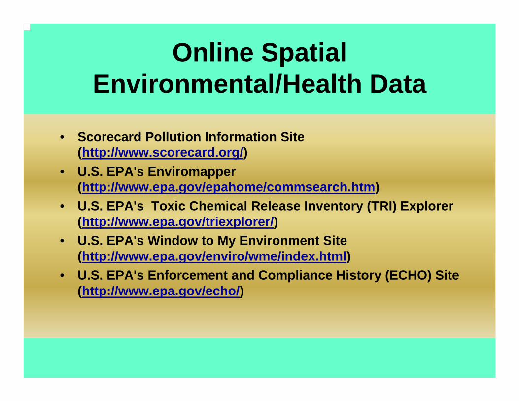
• Scorecard Pollution Information Site (http://www.scorecard.org/)
• U.S. EPA's Enviromapper(http://www.epa.gov/epahome/commsearch.htm)
• U.S. EPA's Toxic Chemical Release Inventory (TRI) Explorer (http://www.epa.gov/triexplorer/)
• U.S. EPA's Window to My Environment Site (http://www.epa.gov/enviro/wme/index.html)
• U.S. EPA's Enforcement and Compliance History (ECHO) Site (http://www.epa.gov/echo/)
Online Spatial Environmental/Health Data
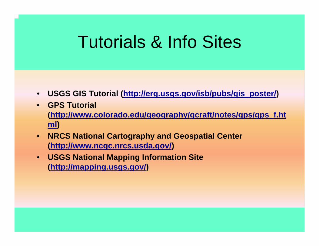
• USGS GIS Tutorial (http://erg.usgs.gov/isb/pubs/gis_poster/)• GPS Tutorial
(http://www.colorado.edu/geography/gcraft/notes/gps/gps_f.html)
• NRCS National Cartography and Geospatial Center (http://www.ncgc.nrcs.usda.gov/)
• USGS National Mapping Information Site (http://mapping.usgs.gov/)
Tutorials & Info Sites
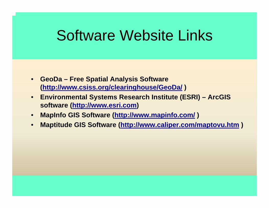
• GeoDa – Free Spatial Analysis Software (http://www.csiss.org/clearinghouse/GeoDa/ )
• Environmental Systems Research Institute (ESRI) – ArcGISsoftware (http://www.esri.com)
• MapInfo GIS Software (http://www.mapinfo.com/ )• Maptitude GIS Software (http://www.caliper.com/maptovu.htm )
Software Website Links
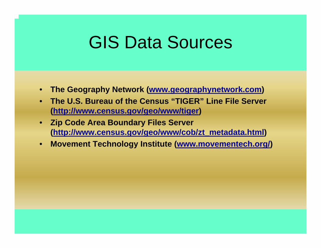
GIS Data Sources
• The Geography Network (www.geographynetwork.com) • The U.S. Bureau of the Census “TIGER” Line File Server
(http://www.census.gov/geo/www/tiger) • Zip Code Area Boundary Files Server
(http://www.census.gov/geo/www/cob/zt_metadata.html) • Movement Technology Institute (www.movementech.org/)


Summer Workshops for Faculty - 2007•17-22 June 2007, The Ohio State University, Columbus, Ohio
•15-20 July 2007, University of California, Santa Barbara• Applications may be submitted at www.csiss.org/SPACE starting 15 January 2007

Scholarship SupportThere are no fees required to participate in a SPACE workshop. Participants may apply for awards of up to a maximum of $1000. Participants from designated minority institutions in the UnitedStates, and participants of Hispanic American, African American,or Native American background may be eligible for additional scholarship support.

Geographic Information Sciences Laboratory
Box 9538Tennessee State University3500 John Merritt BoulevardNashville, Tennessee 37209
www.gislabtsu.freehomepage.com/gislab.htm

Geospatial Technology Applications in the Public Interest
377 Athens Way, Suite 107, Nashville, TN 37228
615-516-8364
David A. Padgett, Founder and Chief Consultant
www.myspace.com/geomental