GEO GLObal Water Sustainability: From Concept to ... · GEO GLObal Water Sustainability: From...
19
GEO GLObal Water Sustainability: From Concept to Implementation Richard Lawford, Angelica Gutierrez, Bradley Doorn, Jim Nelson July 19 2017
Transcript of GEO GLObal Water Sustainability: From Concept to ... · GEO GLObal Water Sustainability: From...

GEO GLObal Water Sustainability:From Concept to Implementation
Richard Lawford, Angelica Gutierrez, Bradley Doorn, Jim Nelson
July 19 2017

GEOGLOWS: a GEO Initiative (since 2016) that shares to GEO Vision
The GEO Vision:
“To realize a future wherein decisions and actions, for the benefit of humankind, are informed
by coordinated, comprehensive and sustained Earth observations and information.”

The GEOGLOWS Mission:
“To connect the demand for sound and timely environmental information to the supply of data, information and knowledge about the Earth’s water system and to explore the science needed to achieve the goals outlined in the GEOGLOWS initiative.
Advocacy for broad, open data policies and for the realization of the right to access information helps ensure that the data collected through national, regional and global observing systems is made available in the public domain and applied to decision-making. GEOGLOWS policy drivers include the Sustainable Development Goals, the Addis Ababa Action Agenda, the Paris Agreement on climate change, the Sendai Framework for Disaster Risk Reduction and Aichi Targets of The Convention on Biodiversity”

GEO Global Water Sustainability (GEOGLOWS)
1) Strengthen capacity to understand water data needs and develop user-
driven applications products from EO data and applications
2) Engage end users and boundary organizations to understand needs and
decision-making process by region, and to prioritize activities based on
vulnerability analyses
3) Coordinate and leverage GEOGLOWS partners to more effectively provide
information and expertise to stakeholder and end-user communities
4) Promote effective use of science and water EO across spatial and temporal
scales
5) Contribute to the assessments of population and economic growth impacts
on water resources availability and climate change, to inform planning and
adaptation activities
OBJECTIVES

AfriGEOSSAO GEOSS
NextGEOSS(Europe)
AmeriGEOSS
GEOGLOWS brings diverse regional water projects into a global framework for improving water sustainability
Global Data Products, Capacity Building, etc.
Regional projects
Validation data
US GEO Water
Regionalexpertise

Global Stream Flow Forecast (South Asia Example)
(from J. Nelson)

GEO Global Water Sustainability (GEOGLOWS) Themes
1. Enhancing Global Water
Sustainable Development
Water and the SDGs
Scarcity and Access
Climate Change
Cold Regions
Ecosystems and
Biodiversity
2. Minimizing Basin and
Regional Risk
Integrated Water Prediction
Floods
Droughts
Transboundary Issues (IWRM)
Land Use Change
Water-Energy-Food-
Environment-Health Nexus
Climate Change Adaptation
3. Understanding Essential
Water
Variables (EWV)
Water Quality
Water Use
Water Cycle Variables
(Precipitation, Soil Moisture,
Groundwater,
Evapotranspiration, Stream
Flow, Surface Water Storage
(Includes Snow Pack))
4. Earth Observations, Integrated Data Products and Applications, and Tool Development
5. Data Sharing, Dissemination of Data, Information, Products, and Knowledge
6. User Engagement, Capacity Building and AmeriGEOSS
GEONetcast

GEO Global Water Sustainability (GEOGLOWS) Themes
1. Enhancing Global Water
Sustainable Development
Water and the SDGs
Scarcity and Access
Climate Change
Cold Regions
Ecosystems and
Biodiversity
2. Minimizing Basin and
Regional Risk
Integrated Water Prediction
Floods
Droughts
Transboundary Issues (IWRM)
Land Use Change
Water-Energy-Food-
Environment-Health Nexus
Climate Change Adaptation
3. Understanding Essential
Water
Variables (EWV)
Water Quality
Water Use
Water Cycle Variables
(Precipitation, Soil Moisture,
Groundwater,
Evapotranspiration, Stream
Flow, Surface Water Storage
(Includes Snow Pack))
5. Data Sharing, Dissemination of Data, Information, Products, and Knowledge
6. User Engagement, Capacity Building and Regional GEOSS programs
4. Earth Observations, Integrated Data Products and Applications, and Tool Development

Tethys support of LIS (gridded data and routed runoff wit RAPID)
(from J. Nelson)

Steering Committee
Secretariat
Socio-economic issues
EWV and observations
Science, applications, product development
Data dissemination, portals, and capacity
building
GEOGLOWS Structure (update 6/17)
Working Groups

GEOGLOWS Steering Committee Members Co-Chairs:Angelica Gutierrez (NOAA - USA) Rose Alabaster (WaterLex, Switzerland)
Members: Asia (A-O GEOSS): Yubao Qiu (CAS, China) Toshio Koike (ICHARM, Japan)Srikantha Herath (Sri Lanka)Americas (AmeriGEOSS):Cesar Garay (Colombia) Paul DiGiacomo (NOAA/CEOS)Europe:Selma Cherchali (CNES, France) Peter Salamon (JRC, EU)Africa (AfriGEOSS):Sylvester Mpandeli (WRC, South Africa) Faith Mitheu (SERVIR, Kenya)Global:Johannes Cullmen (WMO, Switzerland) Dr Harshadeep (World Bank)Financial:Carlos Gustavo Cano (Colombia)

GEOGLOWS 1st International Business Meeting, NOAA/NWC – USA – May 16-18,2017
Working Groups
1. Socio-economic issues of the water crisis and policy linkages (Rose Alabaster)
2. Science, applications, product development, and testing (AshutothLimaye, Edward Beighley).
3. Essential Water Variables (EWVs) and observations (George Huffman)
4. Data dissemination, community portals, and capacity building (Jim Nelson)
Some GEOGLOWS Participants

Possible Steps to consolidate NASA engagement in GEOGLOWS
1) Provide us with your views on how your research projects could contribute to the overall GEOGLOWS goals/themes.
2) Contribute to a framework for providing NASA data to regional users who wish to engage in GEOGLOWS.
3) Become a member of a working group and engage in one of the new or yet unclaimed GEOGLOWS deliverables.
4) Participate in proposed periodic teleconference calls on NASA and GEOGLOWS.

Working Group #1 Draft Deliverables:Human settlements maps will be used to support global monitoring progress in SDG 6.
A socio-economic database (incl. water use, water hidden cost; impacts (e.g. land use), sources, quality) will be developed and linked with the science data from GEOGLOWS.
Basins that successfully link technology with basin-level decisions related to SDGs will conduct a case study as a basis for capacity enhancement resources related to SDG 6b implementation.
Baseline information needs will be defined as a basis for integrated water management. This will include a review of information needs and the identification of gaps.
Using existing tools create scenario tools for assessing water use to be used by government planners and managers.
Undertake Pilots/Best Practices for country-level programmes as well as basin water management.
Possible:Create scenarios for the different line ministries on water availability/quantity/quality using available data in a given basin or country.
Harvest and evaluate existing data sets to establish comprehensive data sets by basin.

Working Group #2 Draft Deliverables:Complete a study to quantify global water availability (and quality) and how it may be be altered in response to climate and/or land cover-land use change.
Develop an Inventory water related products from all GEO initiatives, relevant non-GEO activities and available/future satellite missions (e.g., SWOT, others).
Develop tools for local, regional, global multi-variate (cross-catalog) analyses.
Develop tools that build relationships between global and local datasets for local scale applications at other locations.
Possible (Future) Deliverables (After completion of the first set)Outline science/application opportunities based on cross-GEO analyses and global water connectivity/models to address water related challenges.
Implement GEO-water framework to enable cross-GEO analyses.
Leverage existing forecasting systems (e.g., National Water Model) to implement global water hindcasting/forecasting.
Coordinate with EWVs to ensure sufficient coverage to support the above needs.

Working Group #3 Draft Deliverables:Committed:Review the descriptions of the EWVs in the Water Strategy and make recommendations on what additional information is needed for the EWVs in order to meet the requirements of CEOS and other interested groups.
Undertake a study of the water quality EWVs and provide missing information of accuracy, resolution, frequency of measurement, data latency, etc.
Survey the satisfaction of users with EWVs that they’re using.
Assess the potential of citizen data by exploring lessons learned from COCORAHS, mPing, GLOBE, others.
Joint studies will be undertaken with the GPCC and GRDC to document the decline of the global precipitation and runoff gauge densities.
Possible:If funding is available, undertake a study of the sensitivity of results when integrating DEM, precipitation and other water cycle variables.

Working Group #4 Draft Deliverables:
Undertake a survey/inventory and mapping of existing data portals that already exist.
Develop global streamflow forecast system based on the ECMWF/GloFAS system, Tethys streamflow prediction app, Esri map services, and Cloud Services with World Bank Support. This system would be created as a service and an integration demonstration through World Bank Spatial Agent.
Develop a marketing document showing better marketing for EO Capabilities and links with decision-makers based on past successes (Stories on CORMagdelena/CIRMAG story (Cesar); Dominican Republic story (Jim Nelson), Stakeholder Engagement Framework and application story (Faith Mitheu), Impact Assessment Framework and application story (Dash Cruz), Bolivia/SA project – what worked well (Derek Vellmer), Harsh/World Bank – Compile to e-Book(s)).
Develop a plan for a user-engagement workshop and TEDx Talks.

Currently Listed Deliverables where help is needed
Theme 1: Enhancing Global Water Sustainability2017-2019: GEOGLOWS will complete a plan for developing a routine estimation of water use (with USGS, NASA ET, etc.). There is a critical need to produce global water use data to assess trends and to support water efficiency monitoring for the SDGs.
Theme 2: Minimizing Basin and Regional Risk2017 - 2019: GEOGLOWS will launch the development of a global water cycle monitor. For example, the NASA Land Information System (LIS) provides retrospective water availability assessments that can be enhanced for near-real time outputs to initialize forecasts and provide hydrologic predictions.
2017: GEOGLOWS will launch studies on the use of Earth observations in a Water-Energy-Food-Environment-Health Nexus. Several testbeds for addressing some of these issues would be launched in collaboration with Future Earth and an assessment of the stressors on the W-E-F Nexus in North America would be undertaken.
2017 -2018: GEOGLOWS will contribute to coordinated drought monitoring and early warning systems using a combination of satellites, in-situ data, composite data analysis, and model-derived products. A new perspective on the use of Earth observations will be explored based on the drought risk concept.
2017-2019: Integrated Water Prediction in the Great Lakes Region. The GEOGLOWS (NOAA) IWP capabilities will be applied to the international Great Lakes Region. A critical part of this activity is the development of a harmonized data base that enables the implementation of the requisite community modeling.
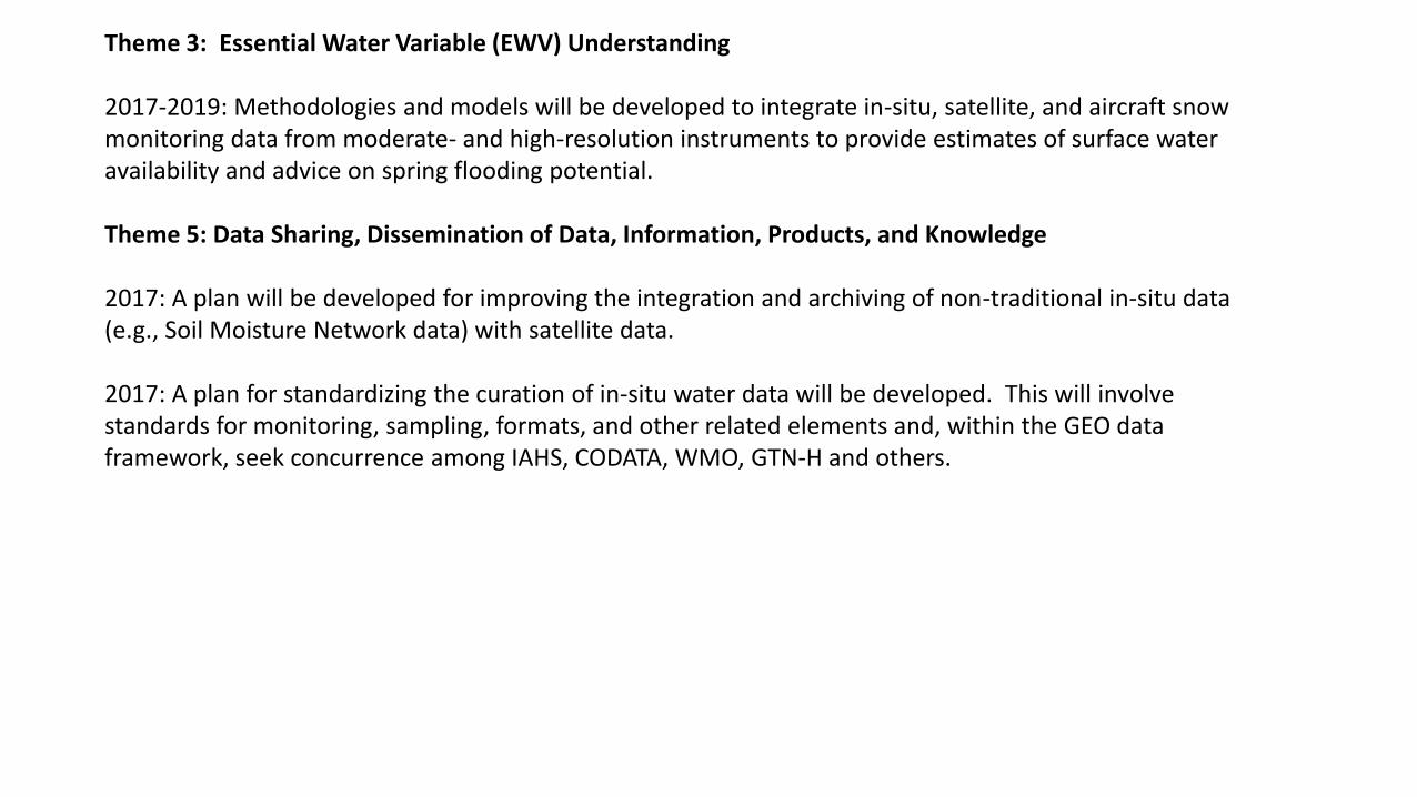
Theme 3: Essential Water Variable (EWV) Understanding
2017-2019: Methodologies and models will be developed to integrate in-situ, satellite, and aircraft snow monitoring data from moderate- and high-resolution instruments to provide estimates of surface water availability and advice on spring flooding potential.
Theme 5: Data Sharing, Dissemination of Data, Information, Products, and Knowledge
2017: A plan will be developed for improving the integration and archiving of non-traditional in-situ data (e.g., Soil Moisture Network data) with satellite data.
2017: A plan for standardizing the curation of in-situ water data will be developed. This will involve standards for monitoring, sampling, formats, and other related elements and, within the GEO data framework, seek concurrence among IAHS, CODATA, WMO, GTN-H and others.