G700SE-M Tactical GPS Camera
8
G700SE-M GPS-Enabled Tactical Digital Camera
-
Upload
geo-tactical-solutions -
Category
Technology
-
view
1.987 -
download
2
Transcript of G700SE-M Tactical GPS Camera
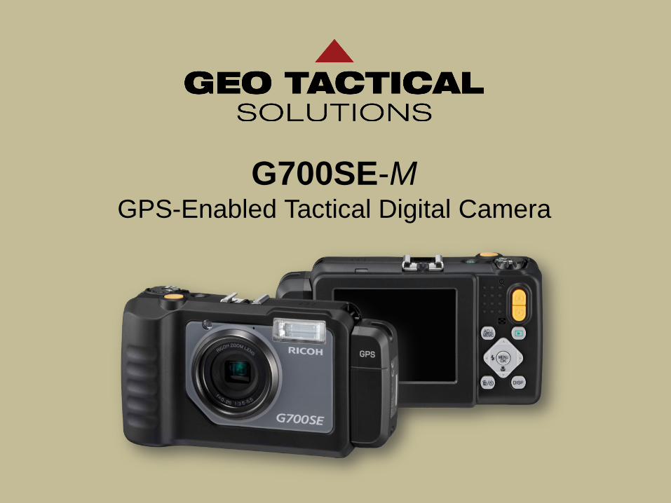
G700SE-M GPS-Enabled Tactical Digital Camera

Strategic Objectives
Enhanced intelligence gathering capability
for combat patrols
Rapid intelligence processing for S2/G2
Simplified debrief reports – enhanced
with geospatial mission photos
Standardization of cameras in theater

Auto Focus
3” Display Memo
Zoom
Playback
Accessory Shoe
Speaker
GPS Module
AF Auxiliary Light
Microphone
Main Camera Components
Ruggedized – water, drop, shock,
and dust resistant
High-res images and video
Easy to clean and operate
Versatile – compatible with
night vision, laser range finders,
and spotting scopes
Remains mission effective where other cameras would fail

Recording ‘Memos’
Mission ‘Memos’
Exif Header
S2 – Defined attributes
On-board data-entry screen for
creating mission memos
All data is saved in the Exif header
Zulu time – not camera lock
Preserves chain-of-custody
Voice memos – 16 seconds
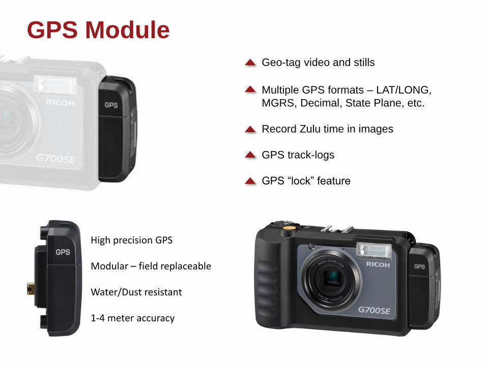
Geo-tag video and stills
Multiple GPS formats – LAT/LONG,
MGRS, Decimal, State Plane, etc.
Record Zulu time in images
GPS track-logs
GPS “lock” feature
High precision GPS Modular – field replaceable Water/Dust resistant 1-4 meter accuracy
GPS Module

Photo Mapping Automatic geo-coding of images in
FalconView, ArcGIS, TIGR, GeoSuite
And Google Earth
Hot-point for single click image access
GPS track-log mapping
Simple wizard-driven interface

Wizard-Driven Reporting
Simple wizard-driven report creation
Word, PPT, and PDF report formats
Export files to KML, shapefile, clk, and
geo-database for use in other GIS programs
Create zip files for easy report sharing

G700SE-M GPS-Enabled Tactical Digital Camera