
EE 486 Winter 02-03 The HLF: what are they? EE 486 lecture ...

Fish Conservation and Management
CONS 486
Ocean ecosystemsRoss Chapter 2

Topics
• Physical/temperature zones• Magnitude/types of currents

Major theme: Linking science to conservation & management
• Harvest regulations• Managing fisheries & habitats
• Protecting populations & habitats
• Restoring populations & habitats
• Fisheries exploitation data
• Applied life history data
• Human dimensions: socio‐economic data
• Physiology• Behaviour• Population ecology• Ecosystem ecology• Habitat data (limnology, oceanography)
• Life historyBasic science Applied
science
ManagementConservation

Introduction• Oceans share many similarities with lakes
– Physical attributes to lakes; e.g., zonation– Ecological attributes of lakes; e.g., food webs
• Lakes and oceans physically differ (and as a result ecologically differ) with respect to:– The size of physical/temperature zones– The influence of currents, tides

Introduction• Standard aquatic food web applies• Bottom‐up and top‐down influences affect patterns of abundance in marine populations
• Littoral areas: structure and cover are important habitats for many fish to feed, rear and spawn
• Pelagic areas: home to phytoplankton, the main pelagic energy producer– Fed upon by zooplankton– Who are in turn eaten by other zooplankton and fish
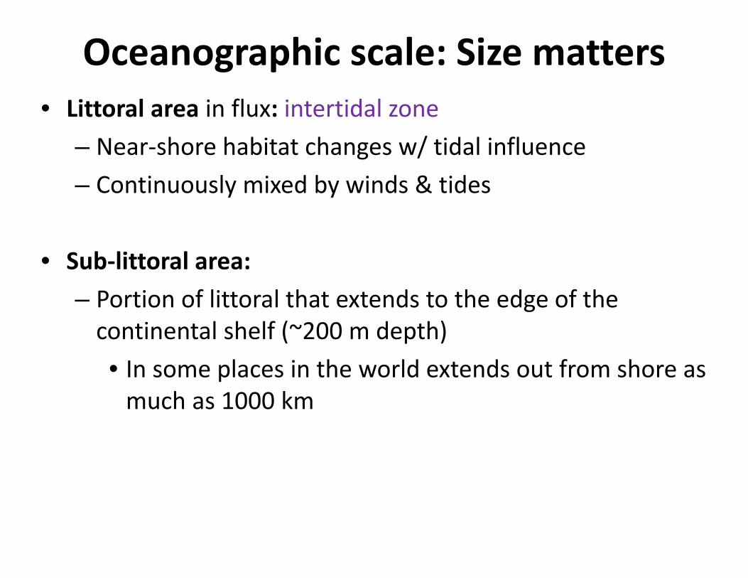
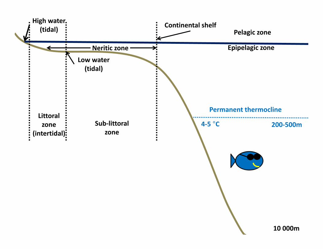
Oceanographic scale: Size matters• Littoral area in flux: intertidal zone
– Near‐shore habitat changes w/ tidal influence– Continuously mixed by winds & tides
• Sub‐littoral area:– Portion of littoral that extends to the edge of the continental shelf (~200 m depth)• In some places in the world extends out from shore as much as 1000 km

Neritic zone: littoral + sub‐littoral

Oceanographic scale: Size matters• Pelagic area: can be considered “high seas”, “open ocean”
• Epipelagic area: – Mixed layer– Upper 200‐500 m– Note: term epilimnion is incorrect: limnion means ‘lake’

Pelagic zone
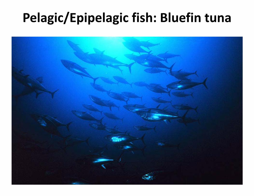
Pelagic/Epipelagic fish: Bluefin tuna
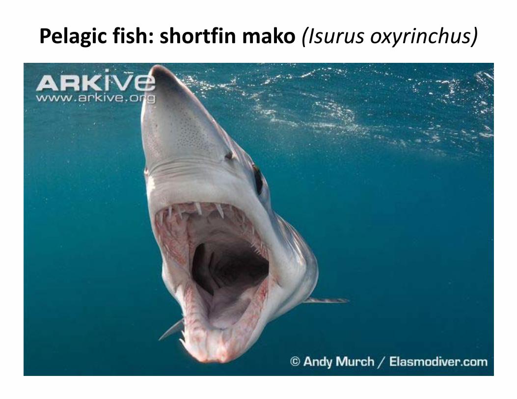
Pelagic fish: shortfin mako (Isurus oxyrinchus)

Littoral zone
(intertidal)
High water (tidal)
Low water (tidal)
Neritic zone
Continental shelfPelagic zone
Epipelagic zone
Sub‐littoral zone
Temperature and thermocline• Not always tropical: < 10% of ocean environments are warmer than 10 °C– Most water is below thermocline
• Thermocline: A permanent thermocline exists– Isothermal at 4‐5 °C in temperate zone– Permanent: cannot be broken by strong winter winds as in most lakes• Due to combined density effects of temperature and salinity
Littoral zone
(intertidal)
High water (tidal)
Low water (tidal)
Neritic zone
Continental shelfPelagic zone
Epipelagic zone
200‐500m4‐5 °C
10 000m
Sub‐littoral zone
Permanent thermocline
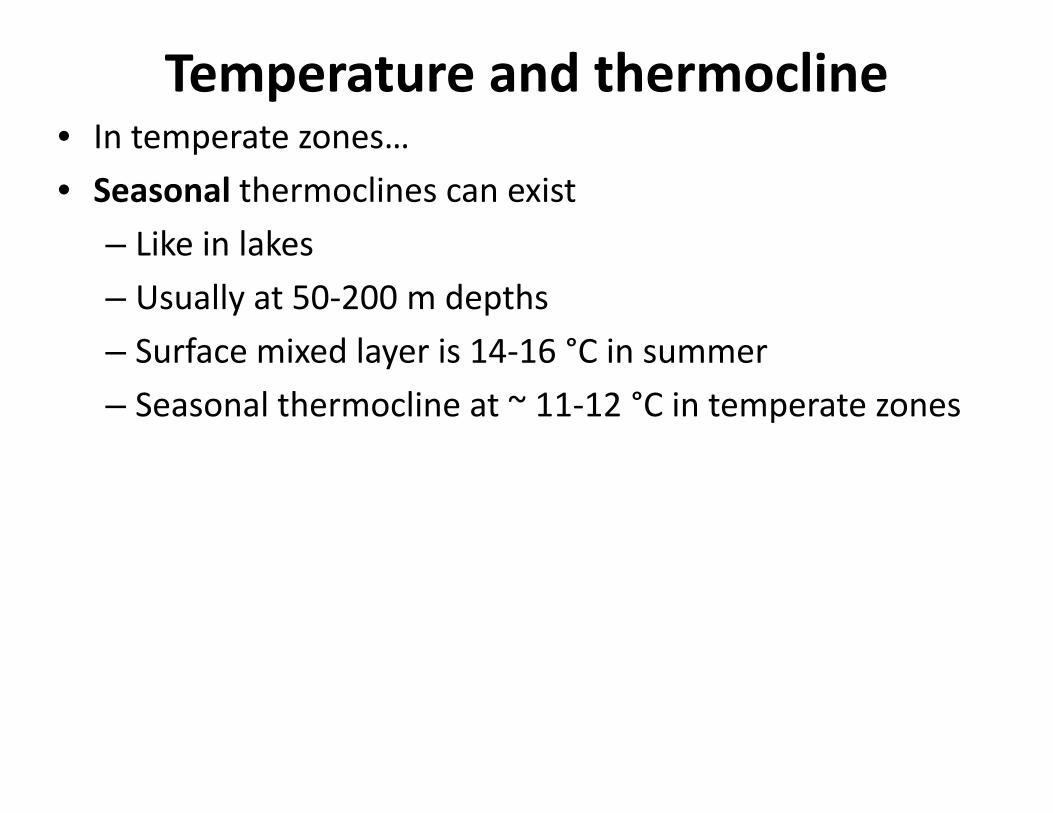
Temperature and thermocline• In temperate zones…• Seasonal thermoclines can exist
– Like in lakes– Usually at 50‐200 m depths – Surface mixed layer is 14‐16 °C in summer– Seasonal thermocline at ~ 11‐12 °C in temperate zones

Littoral zone
(intertidal)
High water (tidal)
Low water (tidal)
Neritic zone
Continental shelfPelagic zone
Epipelagic zone
Seasonal thermocline
11‐12 °C 50‐200m
200‐500m4‐5 °C
10 000m
Sub‐littoral zone
Typical summer temps in temperate climate
Permanent thermocline
14‐16 °C

Ocean currents
Major currents• Major surface currents are primarily wind driven
– Related to major wind systems
• Large rotating current systems are called gyres – Spiral or vortex – Result from wind, planetary motion, and friction
• Because of earths eastward rotation, major currents which move westward at the equator, are deflected to the right in the northern hemisphere and to the left in the southern hemisphere
Major currents
‐ Confirmation of the Coriolis Effect
‐Not convinced, Bart calls Australia to confirm their opposite drainage direction
https://www.youtube.com/watch?v=L7X_CmT5TrU
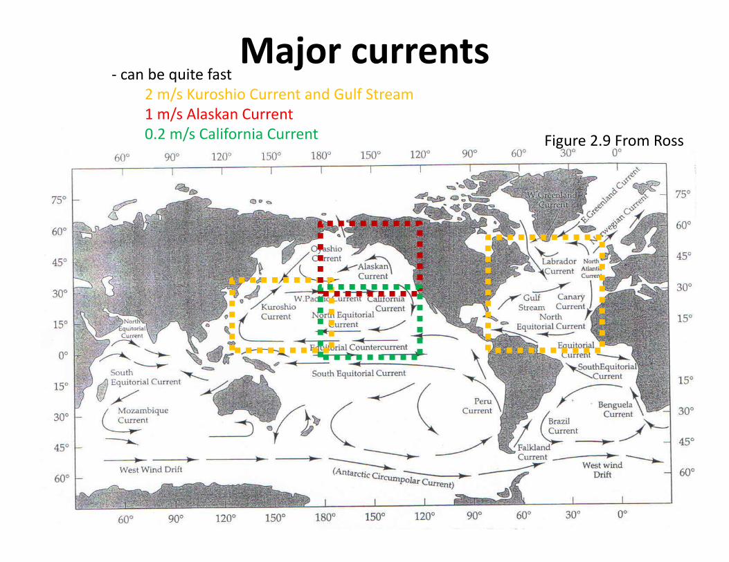
Figure 2.9 From Ross
Major currents‐ can be quite fast
2 m/s Kuroshio Current and Gulf Stream1 m/s Alaskan Current0.2 m/s California Current

Gulf stream current patternU Miami
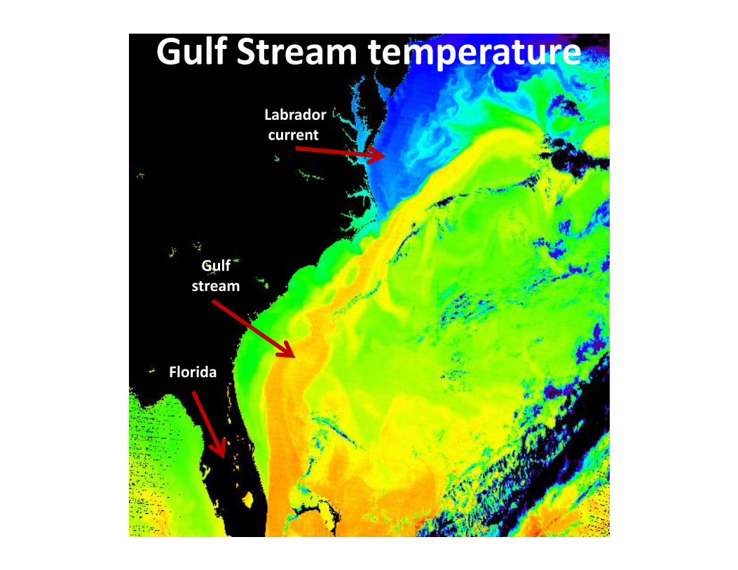
Gulf Stream temperature
Florida
Labradorcurrent
Gulf stream

• major current patterns affect regional climate e.g. the Gulf Stream heats the north Atlantic making Ireland the ‘emerald Isl’
• Newfoundland is at the same latitude as Ireland but receives none of the heat benefits so is much colder and has shorter growing seasons
Major current patterns and climate
Coastal NewfoundlandCoastal Ireland
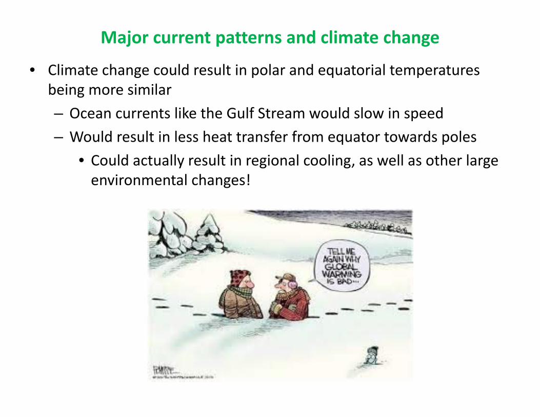
Major current patterns and climate change
• Climate change could result in polar and equatorial temperatures being more similar– Ocean currents like the Gulf Stream would slow in speed– Would result in less heat transfer from equator towards poles
• Could actually result in regional cooling, as well as other large environmental changes!

Regional surface currents can be complex
• Gulf Stream seen at bottom
• River influences • E.g., St. Lawrence
• Coastal inlets and bays
• Resulting eddies (bottom right)
• Counter current flow patterns

Density driven currents: Upwelling• Currents also affected by water density • Higher salinity, or cooler temperatures = more dense• Lower salinity, or warmer temperatures = less dense
• Where wind driven currents encounter less dense water (eg near a river mouth or warm climate) upwelling can occur
• Where wind driven currents encounter more dense water, downwelling can occur
• Upwelling brings nutrient rich deep water, and organisms, to the surface and are the locales for some of the worlds most productive fisheries
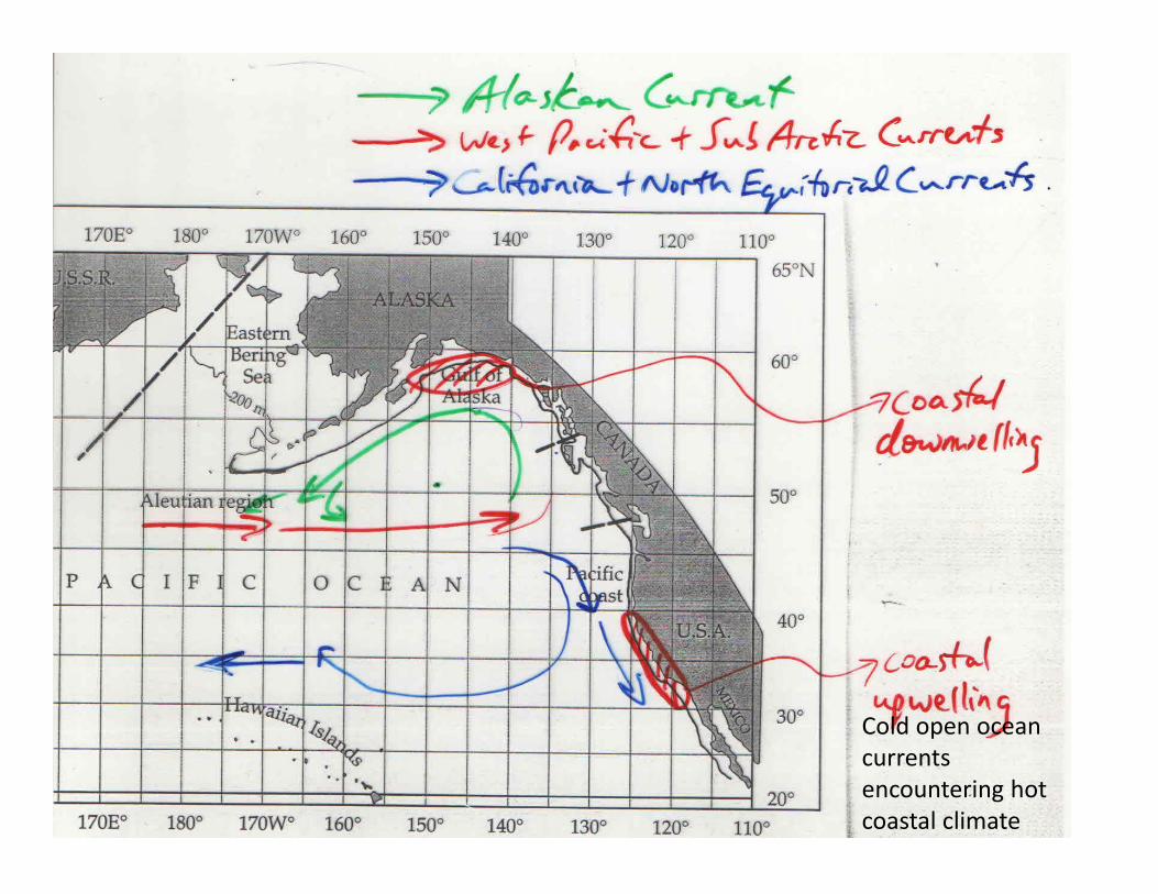
Cold open ocean currents encountering hot coastal climate

Upwelling current patterns and climate
• The California Current upwelling keeps northern California coast cool all summer– Cool coastal temperature clashes with warm inland air temperatures
– Coast 20 °C whereas a few km inland its 38 ° C• Summer fog banks keep the coast cool
– “The coldest winter I ever spent was a summer in San Francisco”
Golden Gate BridgeSan Francisco, CA
Role of coastal habitats to fishes• Biological production is greatest in coastal areas & continental shelf–Especially upwelling zones
• Fish production is greatest here–Where many of world’s largest fisheries occur
–E.g., sardine, mackerel, anchovy, hake
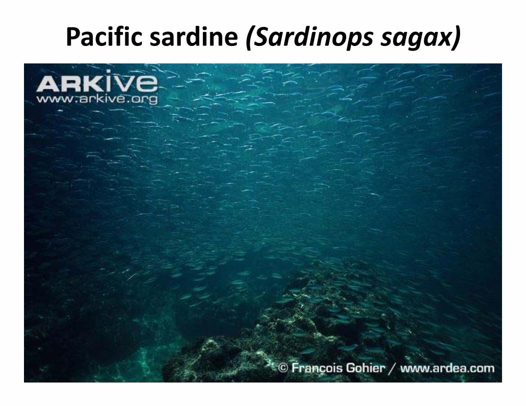
Pacific sardine (Sardinops sagax)
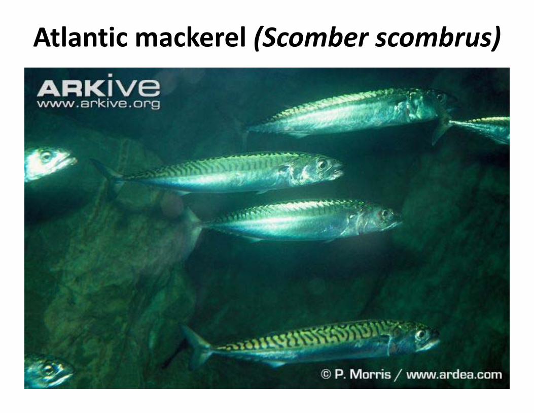
Atlantic mackerel (Scomber scombrus)
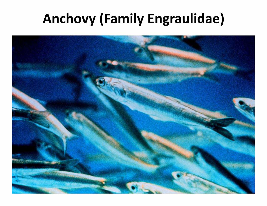
Anchovy (Family Engraulidae)

White hake fisheries

Role of currents to fishes• Currents affect abundance and distribution of fishes–Can vary by life stage
• Advection of young: evolved behaviours that utilize current patterns to enhance juvenile survival– E.g. plaice lay demersal eggs in optimum spawning habitat
– Emerged juveniles are advected to areas ideally suited for rearing

Trying to find my plaice in life

Seems like a nice plaice to grow up
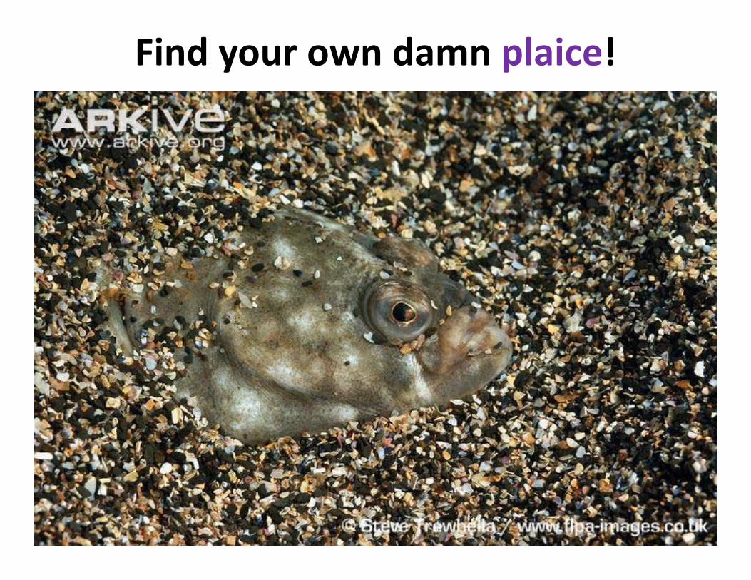
Find your own damn plaice!

Tidal‐driven currents• Tides: result of gravitational pull of moon (and sun) on earth’s surface, and earth’s own rotation–Change in water levels on ~24 hr 53 min cycle–Up to 3 m amplitude in our region, varies globally–Bay of Fundy = 17m!
• ‘basin’ shape & tidal resonance
• Generate many different habitat types due to water rising, falling, & mixing– Including…

Tidal‐influenced habitats: salt marsh
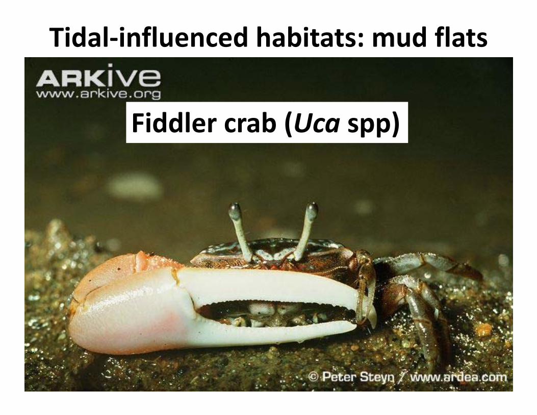
Tidal‐influenced habitats: mud flats
Fiddler crab (Uca spp)

Role of surface & tidal currents: coastal migrations and salmon fisheries
• Fraser sockeye hold in Georgia Strait until high tide (red circle)– Migrate up‐river when currents less energetically costly
• Strong Alaskan currents cause more salmon to migrate through Johnstone rather than Juan de Fuca Strait (red lines)– currents affect where and when fisheries openings occur
– affects whether harvest is by US or CDN fishers!! Canadian Geographic
Johnstone Strait
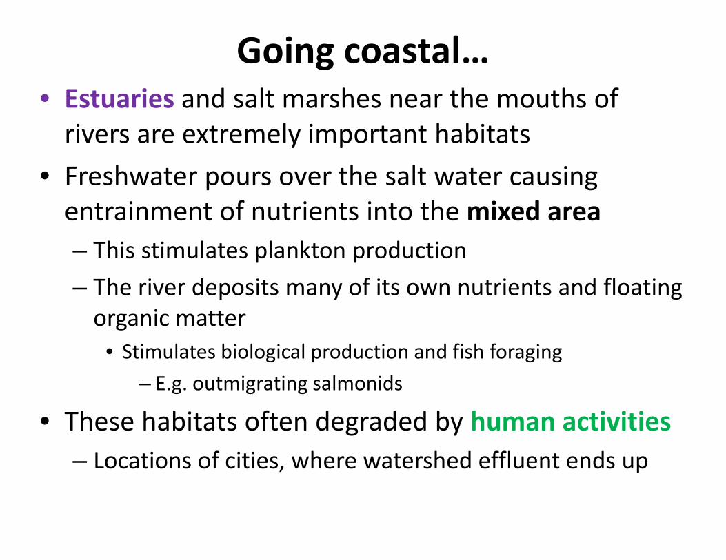
Going coastal…• Estuaries and salt marshes near the mouths of rivers are extremely important habitats
• Freshwater pours over the salt water causing entrainment of nutrients into the mixed area – This stimulates plankton production– The river deposits many of its own nutrients and floating organic matter
• Stimulates biological production and fish foraging – E.g. outmigrating salmonids
• These habitats often degraded by human activities– Locations of cities, where watershed effluent ends up

Important coastal habitats for fish
• Sea‐grass beds: marine “fields”
http://www.inlandbays.org/
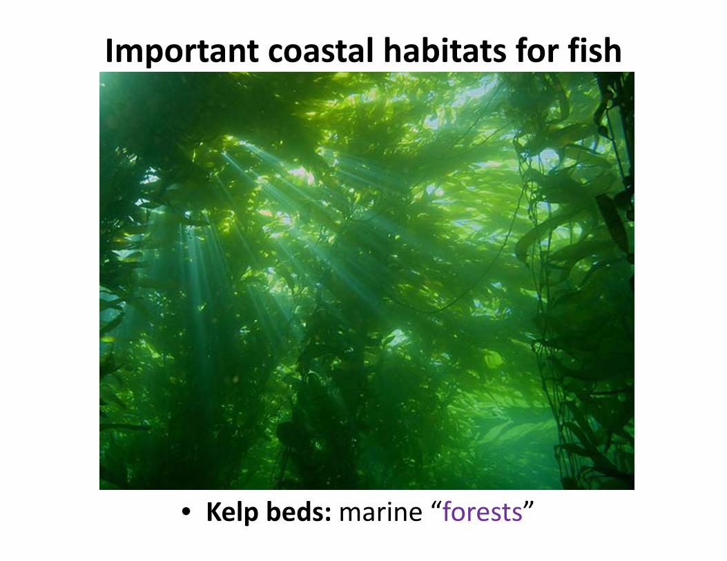
Important coastal habitats for fish
• Kelp beds: marine “forests”

Coming up next• We get caught up in…
–Fisheries exploitation!
![Second Thoughts[486]](https://static.fdocuments.in/doc/165x107/577d35651a28ab3a6b9052b5/second-thoughts486.jpg)