FEMA FLOOD INSURANCE STUDY UPDATES City Council Workshop July 7, 2008.
10
FEMA FLOOD FEMA FLOOD INSURANCE STUDY INSURANCE STUDY UPDATES UPDATES City Council Workshop City Council Workshop July 7, 2008 July 7, 2008
-
Upload
abraham-harrell -
Category
Documents
-
view
216 -
download
0
Transcript of FEMA FLOOD INSURANCE STUDY UPDATES City Council Workshop July 7, 2008.
FEMA FLOOD FEMA FLOOD INSURANCE STUDY INSURANCE STUDY
UPDATESUPDATES
City Council WorkshopCity Council Workshop
July 7, 2008July 7, 2008
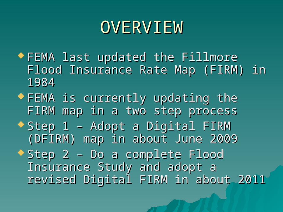
OVERVIEWOVERVIEW
FEMA last updated the Fillmore Flood FEMA last updated the Fillmore Flood Insurance Rate Map (FIRM) in 1984Insurance Rate Map (FIRM) in 1984
FEMA is currently updating the FIRM FEMA is currently updating the FIRM map in a two step processmap in a two step process
Step 1 – Adopt a Digital FIRM (DFIRM) Step 1 – Adopt a Digital FIRM (DFIRM) map in about June 2009map in about June 2009
Step 2 – Do a complete Flood Step 2 – Do a complete Flood Insurance Study and adopt a revised Insurance Study and adopt a revised Digital FIRM in about 2011Digital FIRM in about 2011
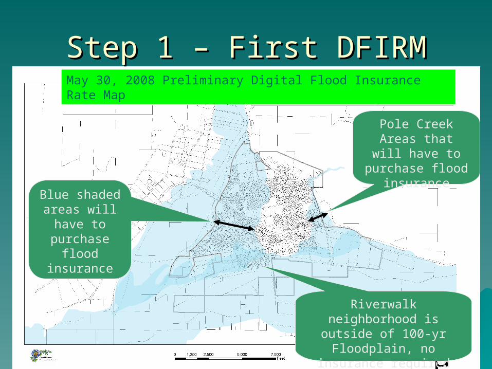
Step 1 – First DFIRMStep 1 – First DFIRM
Blue shaded areas will have to
purchase flood
insurance
Pole Creek Areas that will have to purchase flood
insurance
May 30, 2008 Preliminary Digital Flood Insurance Rate Map
Riverwalk neighborhood is outside of 100-yr
Floodplain, no insurance required
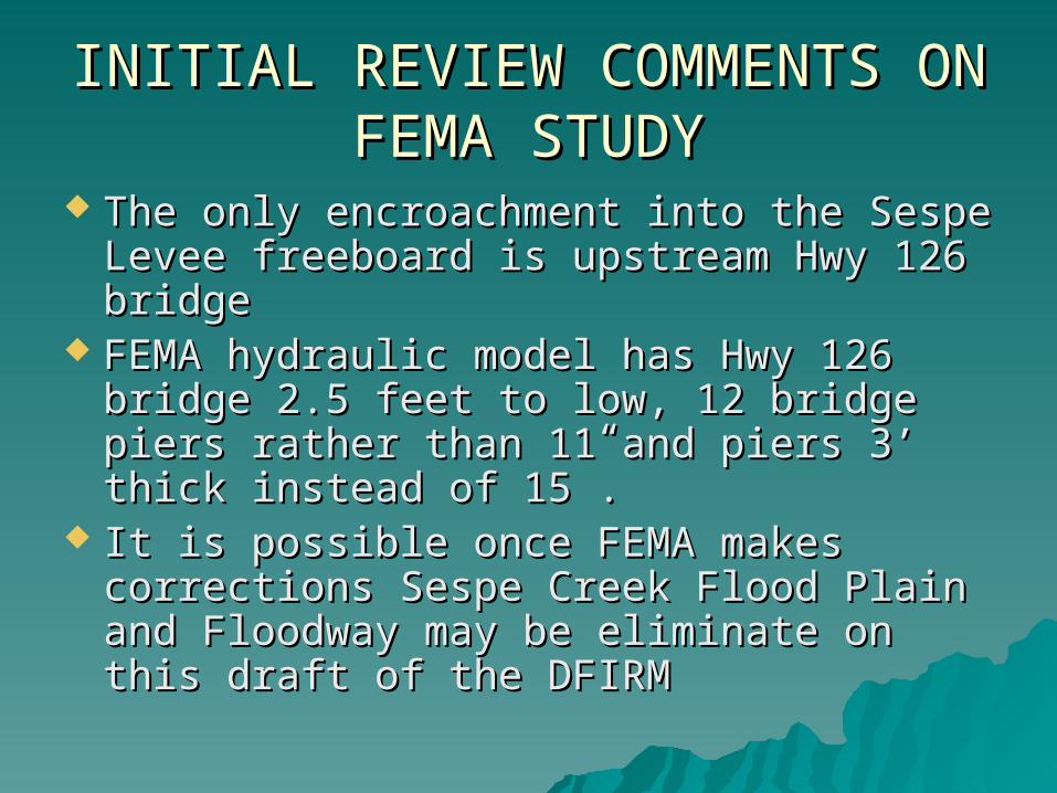
INITIAL REVIEW COMMENTS ON INITIAL REVIEW COMMENTS ON FEMA STUDYFEMA STUDY
The only encroachment into the Sespe The only encroachment into the Sespe Levee freeboard is upstream Hwy 126 Levee freeboard is upstream Hwy 126 bridgebridge
FEMA hydraulic model has Hwy 126 bridge FEMA hydraulic model has Hwy 126 bridge 2.5 feet to low, 12 bridge piers rather than 2.5 feet to low, 12 bridge piers rather than 11 and piers 3’ thick instead of 15”.11 and piers 3’ thick instead of 15”.
It is possible once FEMA makes corrections It is possible once FEMA makes corrections Sespe Creek Flood Plain and Floodway Sespe Creek Flood Plain and Floodway may be eliminate on this draft of the may be eliminate on this draft of the DFIRM DFIRM
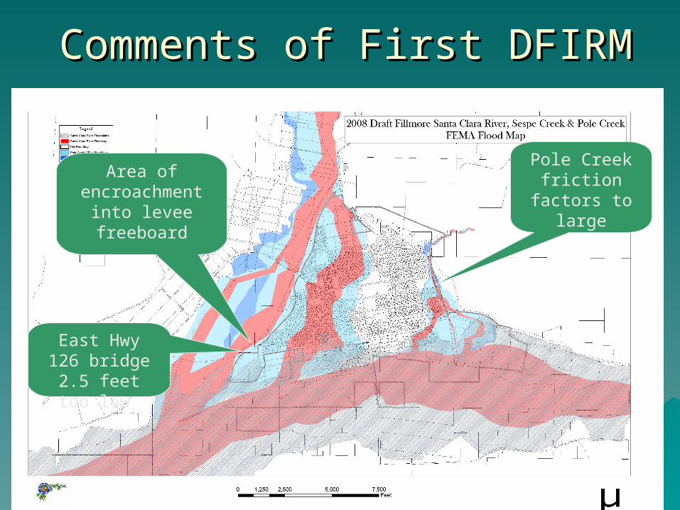
Comments of First DFIRMComments of First DFIRM
East Hwy 126 bridge 2.5
feet too low
Area of encroachment
into levee freeboard
Pole Creek friction
factors to large
Step 1Step 1
Technical comments due by October Technical comments due by October 30, 200830, 2008
Projected adoption date: June 2009Projected adoption date: June 2009
Step 2Step 2
FEMA released preliminary draft FEMA released preliminary draft Flood Insurance Study May 8, 2008Flood Insurance Study May 8, 2008
FEMA now accepting commentsFEMA now accepting comments FEMA plans to release draft Flood FEMA plans to release draft Flood
Insurance Study October 2008 and Insurance Study October 2008 and adopt in 2010adopt in 2010
Draft preliminary map shows Draft preliminary map shows Floodways inside existing cityFloodways inside existing city
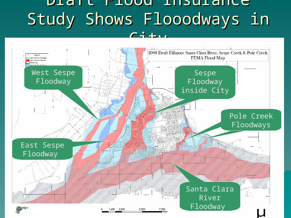
Draft Flood Insurance Study Shows Draft Flood Insurance Study Shows Flooodways in CityFlooodways in City
East Sespe Floodway
West Sespe Floodway
Pole Creek FloodwaysPole Creek Floodways
Sespe Floodway
inside City
Santa Clara River
Floodway
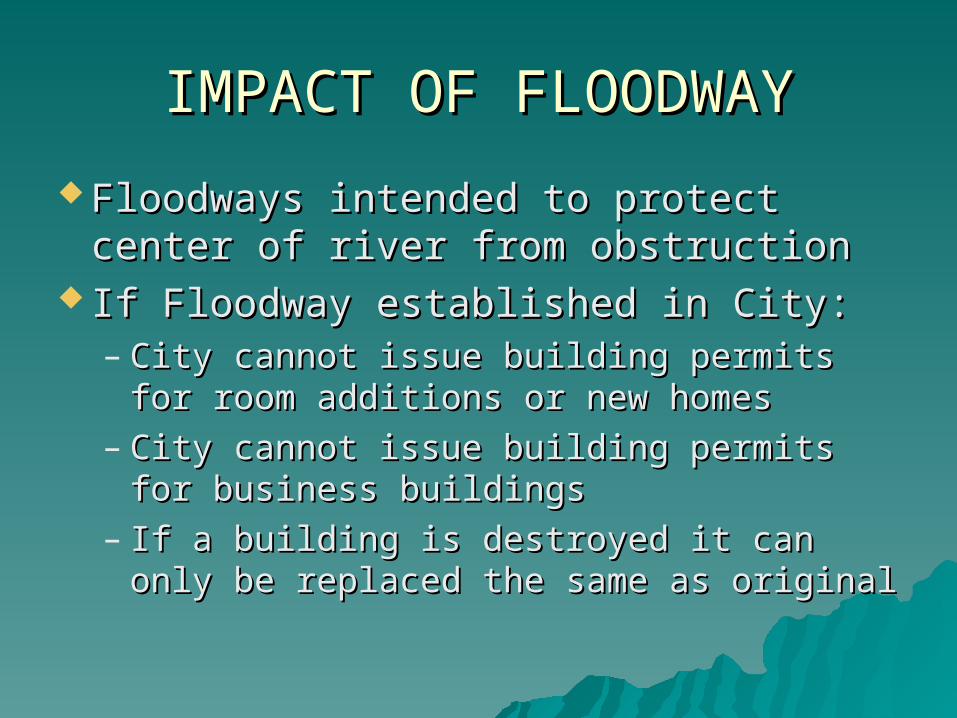
IMPACT OF FLOODWAYIMPACT OF FLOODWAY
Floodways intended to protect center Floodways intended to protect center of river from obstructionof river from obstruction
If Floodway established in City:If Floodway established in City:– City cannot issue building permits for City cannot issue building permits for
room additions or new homesroom additions or new homes– City cannot issue building permits for City cannot issue building permits for
business buildings business buildings – If a building is destroyed it can only be If a building is destroyed it can only be
replaced the same as original replaced the same as original
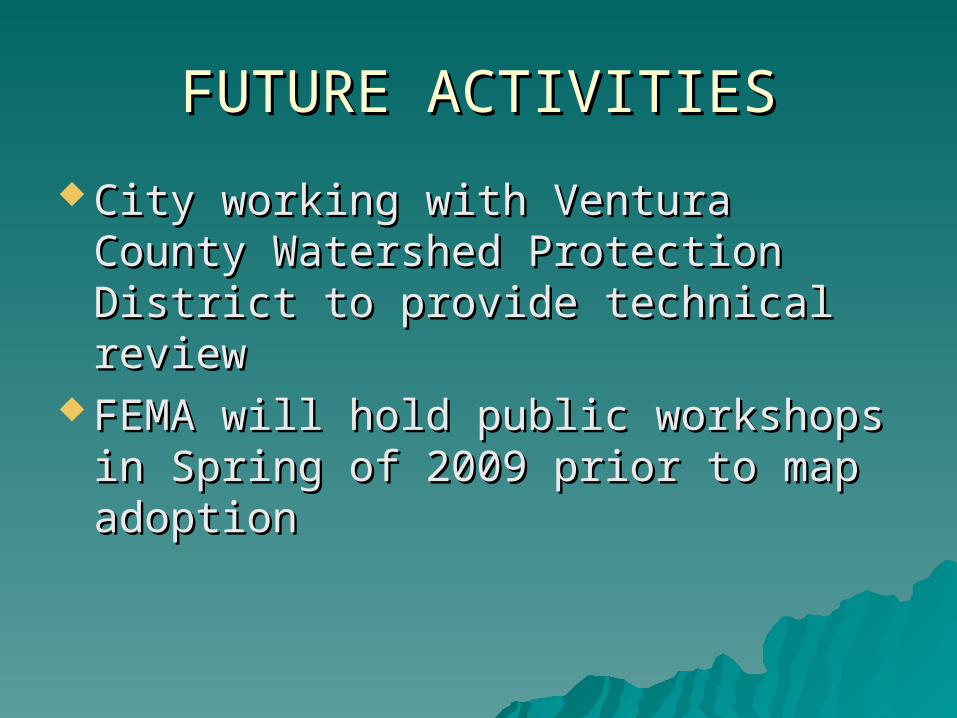
FUTURE ACTIVITIESFUTURE ACTIVITIES
City working with Ventura County City working with Ventura County Watershed Protection District to Watershed Protection District to provide technical reviewprovide technical review
FEMA will hold public workshops in FEMA will hold public workshops in Spring of 2009 prior to map adoptionSpring of 2009 prior to map adoption