Upwelling, downwelling, and cross-shelf transport of bivalve
Upload
dylan-harrisonCategory
view
213download
0
Eolian Desert Systems

Eolian (wind-driven)
• Distribution – Desert belts
• 10-30° N and S of equator (Hadley circulation cells)– trades; downwelling cool, dry air– more land, more absoprtion (less if reflective) and shift in
circulation
– Rainshadows• downwind side of mountain
– in US, winds blow W to E– lose moisture over mountains
– Far inland• center of continent away from moisture source
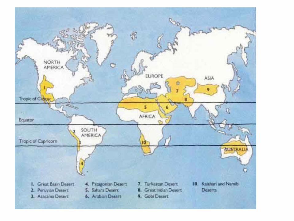


Deserts
• 20-25% of E’s surface
• low rainfall (<25 cm/ yr on avg.)– NOT ALL HOT! (freeze at night!)
– NOT ALL DRY (ephemeral)
• usually sparsely vegetated– any rain usually generates flash floods
• Drains to center of basin to form pans and lakes
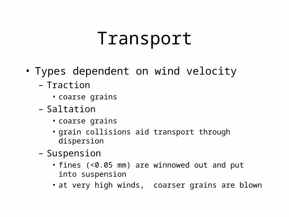
Transport
• Types dependent on wind velocity– Traction
• coarse grains
– Saltation • coarse grains
• grain collisions aid transport through dispersion
– Suspension• fines (<0.05 mm) are winnowed out and put into suspension
• at very high winds, coarser grains are blown

Deposits
• Dust deposits (silt)– loess
– travels great distances• Glacial eolian
– Indiana; Ohio, China, Mississippi
– Dust storms
• Sand deposits• Lag deposits

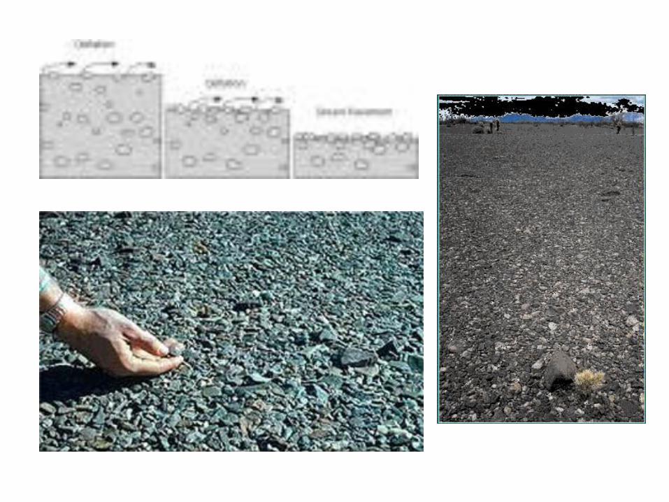
Deposits
• Sand deposits– well sorted since fines were winnowed away
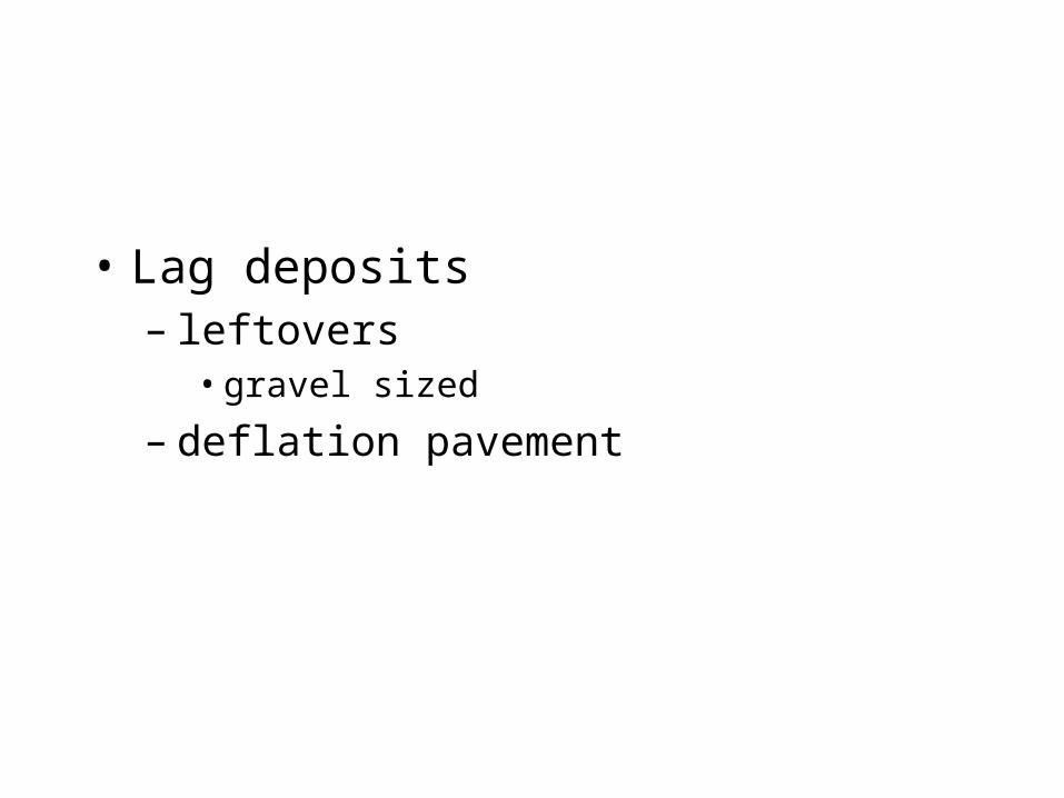
• Lag deposits– leftovers
• gravel sized
– deflation pavement
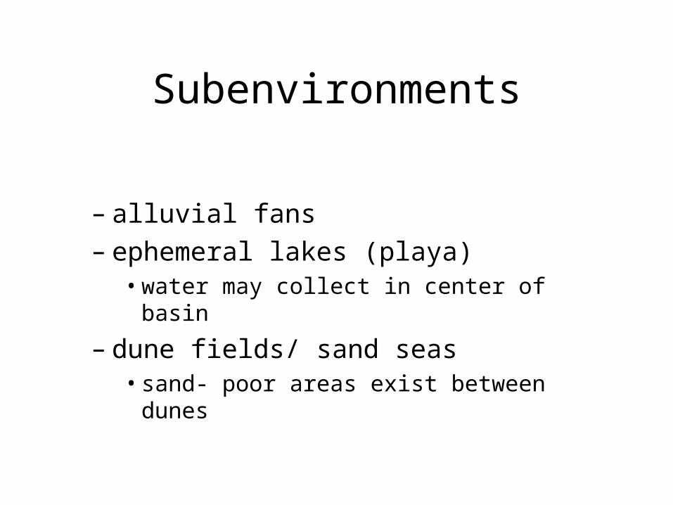
Subenvironments
– alluvial fans– ephemeral lakes (playa)
• water may collect in center of basin
– dune fields/ sand seas• sand- poor areas exist between dunes
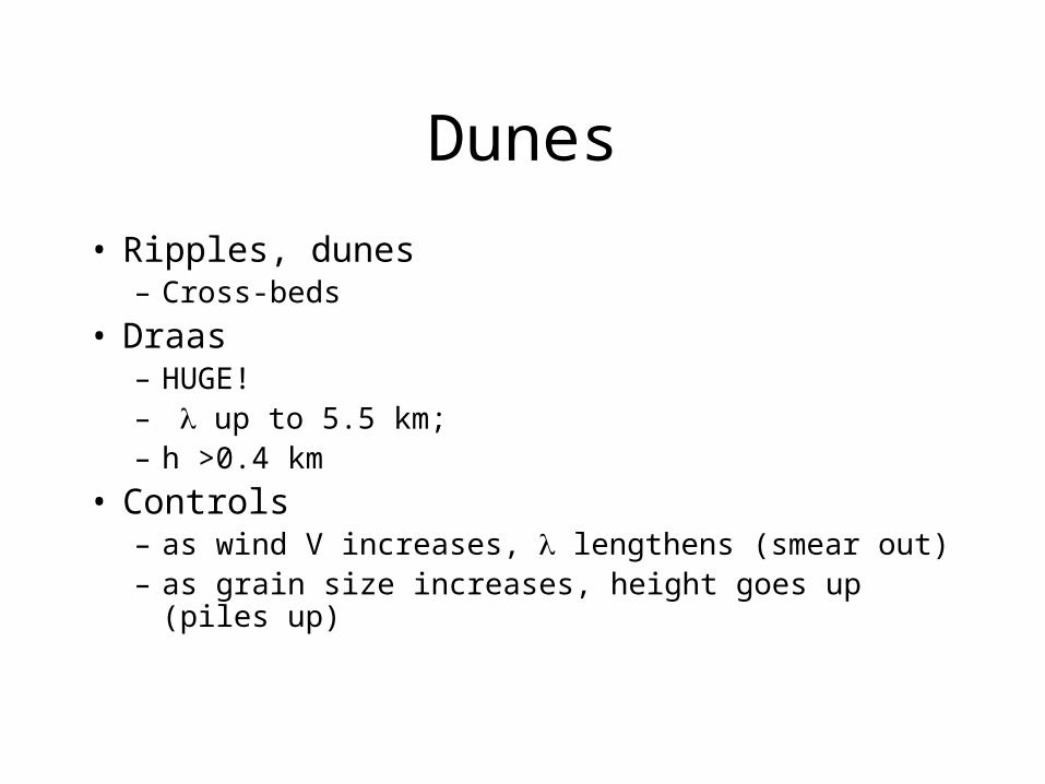
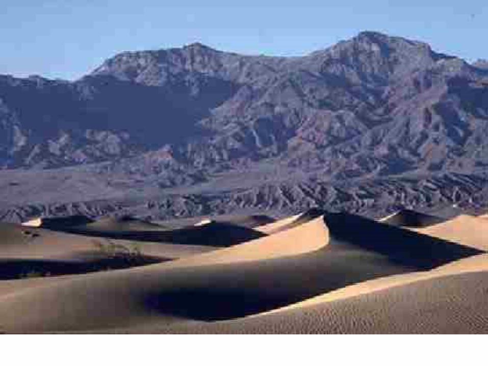
Dunes
• Ripples, dunes – Cross-beds
• Draas– HUGE! – up to 5.5 km; – h >0.4 km
• Controls– as wind V increases, lengthens (smear out)– as grain size increases, height goes up (piles up)
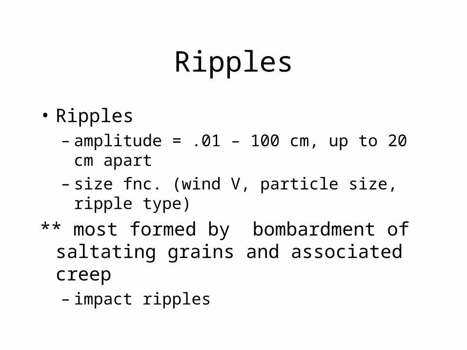
Ripples
• Ripples– amplitude = .01 – 100 cm, up to 20 cm apart– size fnc. (wind V, particle size, ripple type)
** most formed by bombardment of saltating grains and associated creep– impact ripples

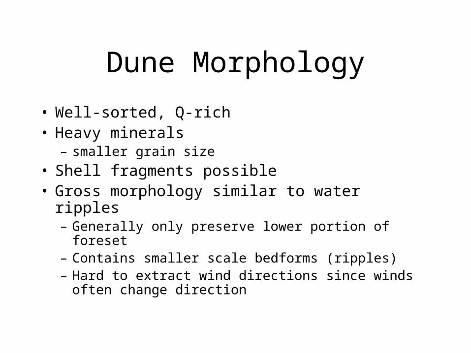
Dune Morphology
• Well-sorted, Q-rich• Heavy minerals
– smaller grain size
• Shell fragments possible• Gross morphology similar to water ripples
– Generally only preserve lower portion of foreset– Contains smaller scale bedforms (ripples)– Hard to extract wind directions since winds often
change direction

Dunes
• Dune height and spacing are regular• Described by power function
Dh=cDsn
• Dh – dune H
• Ds– spacing
• N– function of sand supply, wind speed
• C– constant
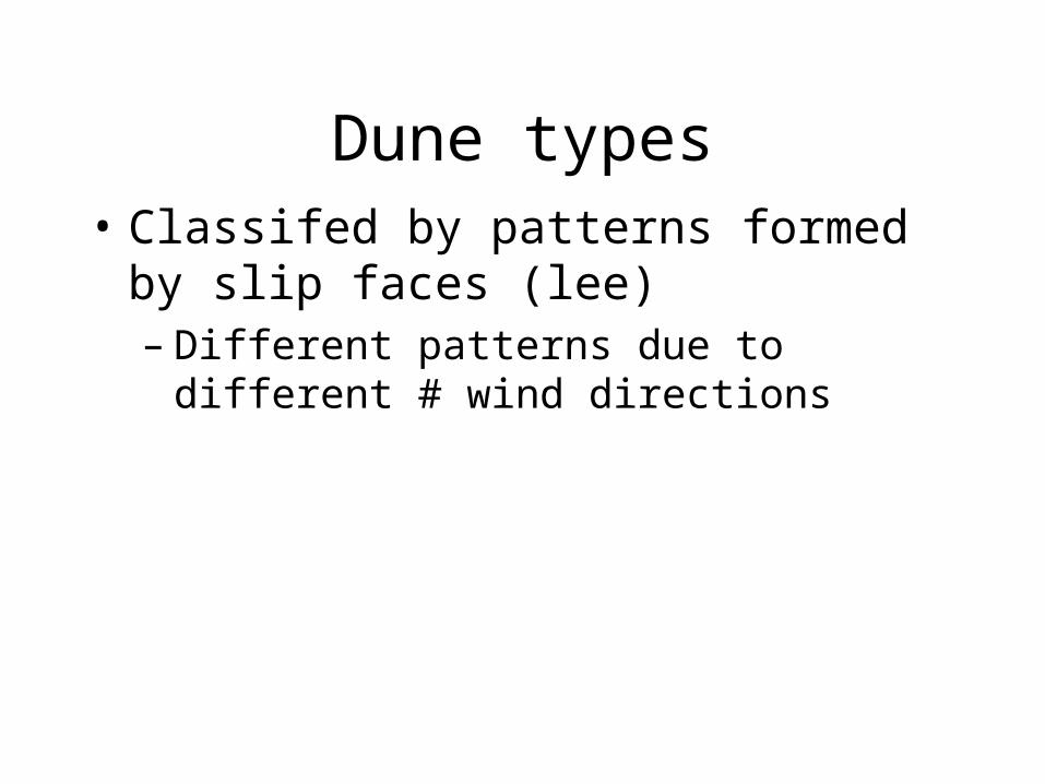
Dune types• Classifed by patterns formed by slip faces
(lee)– Different patterns due to different # wind
directions


No slip faces
• Eolian sand sheet – Ergs
• smaller
– Sand seas (Namibia)• larger • flat undulating sand bodies
– low < x strata (0-20°)
– Ephemeral stream deposits possible

Form by unidirectional winds
• barchan/barchanoid ridge/transverse continuum• function of sed supply• horns point downwind• ridge – commected crescents (
• parabolic/ blow-out dune• function of vegetation• horns point upwind• lateral edges anchored by vegetation so, middle migrates )
– Differentiated by regional patterns
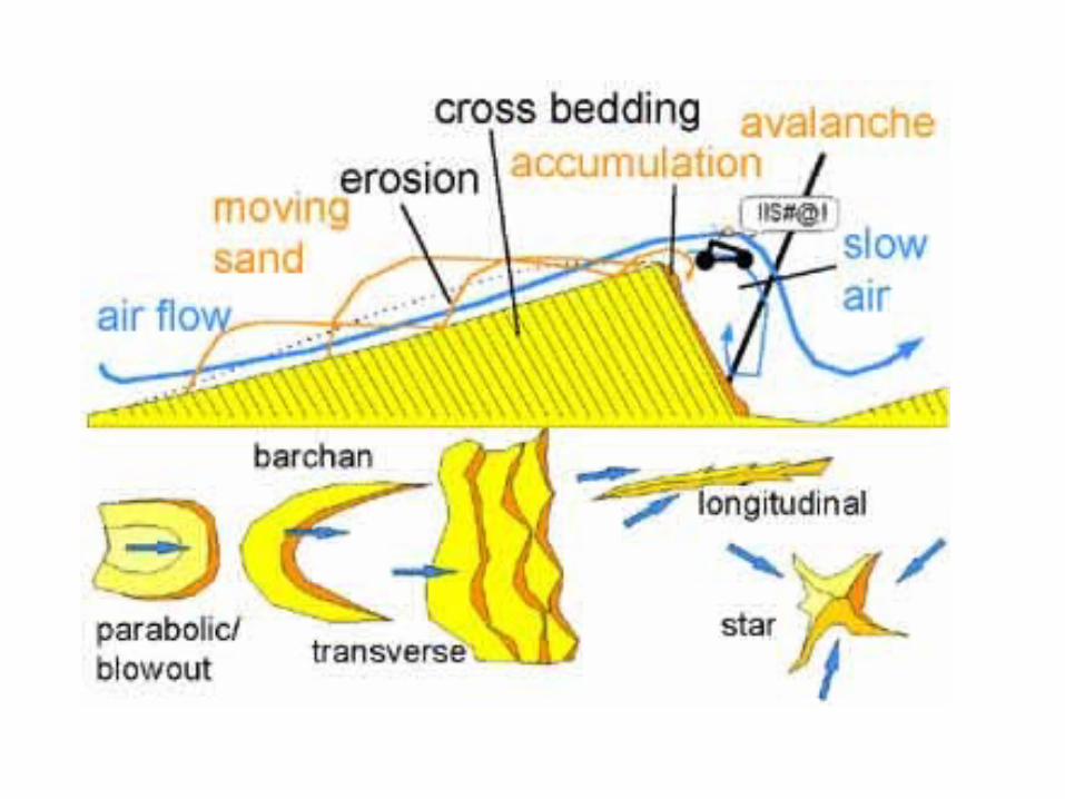

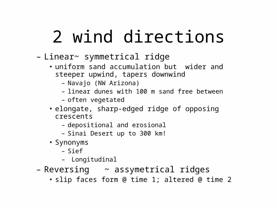
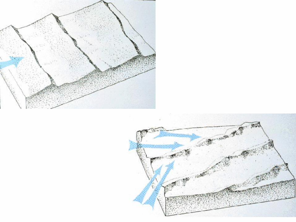
2 wind directions– Linear~ symmetrical ridge
• uniform sand accumulation but wider and steeper upwind, tapers downwind
– Navajo (NW Arizona)– linear dunes with 100 m sand free between– often vegetated
• elongate, sharp-edged ridge of opposing crescents– depositional and erosional– Sinai Desert up to 300 km!
• Synonyms– Sief– Longitudinal
– Reversing ~ assymetrical ridges• slip faces form @ time 1; altered @ time 2

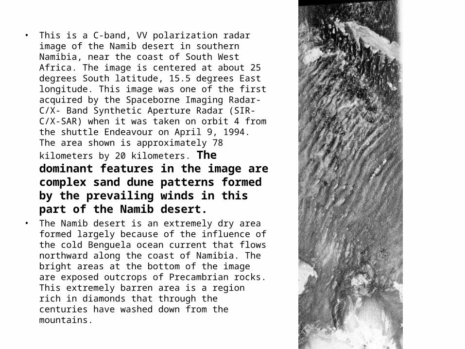
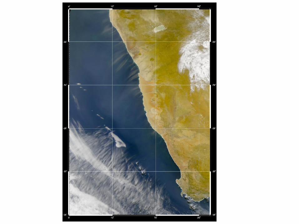
• This is a C-band, VV polarization radar image of the Namib desert in southern Namibia, near the coast of South West Africa. The image is centered at about 25 degrees South latitude, 15.5 degrees East longitude. This image was one of the first acquired by the Spaceborne Imaging Radar-C/X- Band Synthetic Aperture Radar (SIR-C/X-SAR) when it was taken on orbit 4 from the shuttle Endeavour on April 9, 1994. The area shown is approximately 78 kilometers by 20
kilometers. The dominant features in the image are complex sand dune patterns formed by the prevailing winds in this part of the Namib desert.
• The Namib desert is an extremely dry area formed largely because of the influence of the cold Benguela ocean current that flows northward along the coast of Namibia. The bright areas at the bottom of the image are exposed outcrops of Precambrian rocks. This extremely barren area is a region rich in diamonds that through the centuries have washed down from the mountains.

3 wind directions
– Star • HUGE! > 400 m high
• arms radiate from center
• need high speed, variable winds AND lots of available sand


Interdunes
• Deflation– low sand accumulation– Lags
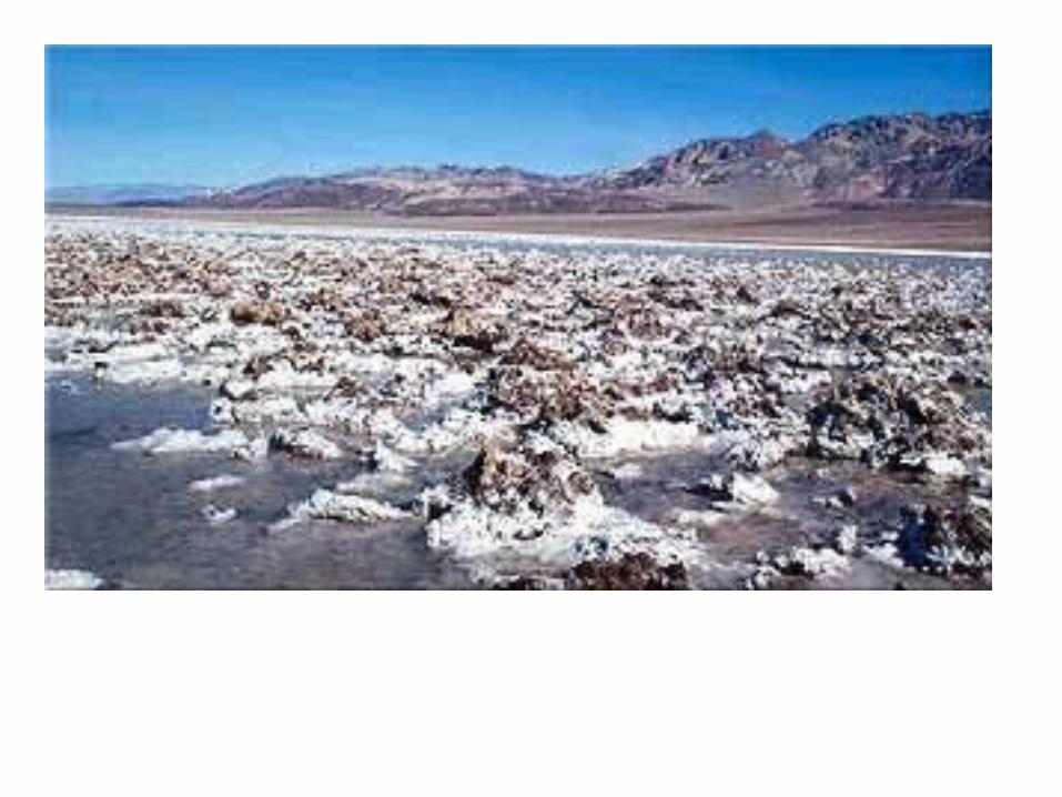
• Deposition– Dry or Wet
Interdune Areas• Dry
– Ripples formed from sands avalanching off dunes– Poor sorting
• gently dipping layers with poor structure
– Bioturbated
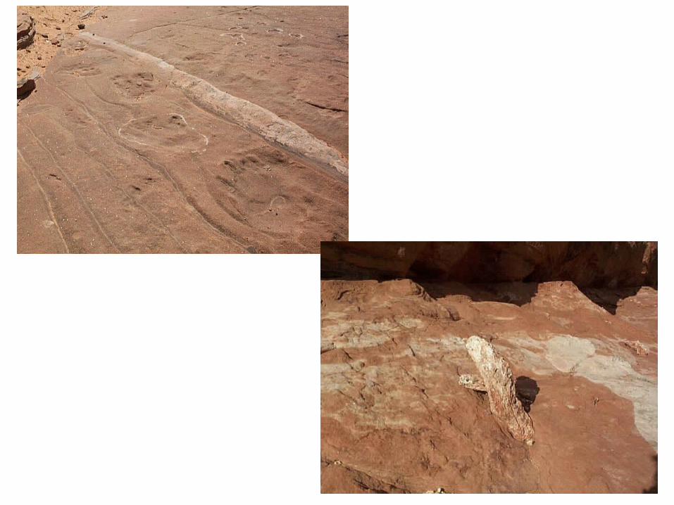
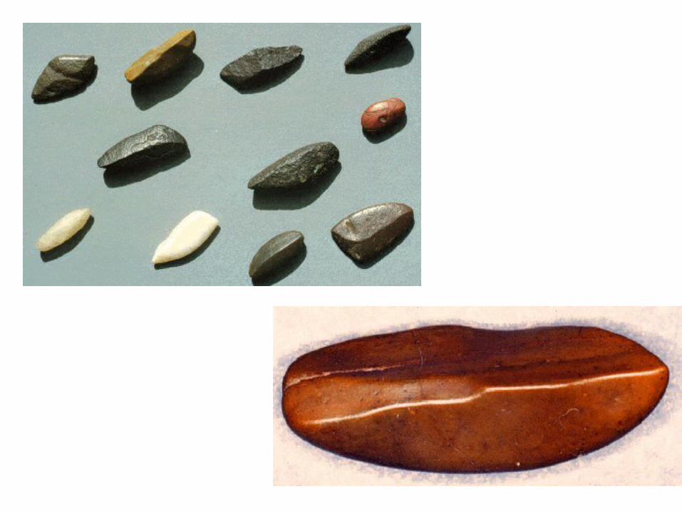
• WET• water accumulates and traps silts/ clays• look for evidence of terrestrial life
– Tracks– Diatoms– gastropods, etc.
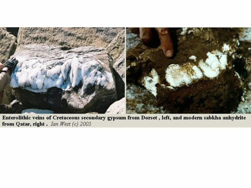
– Evaporites• when lake dries up, can get evaporates
– Gypsum– mudcracks, other evidence of dessication