ENGINEERING SURVEYS DEFINITION Surveying has to do with the determination of location of points on...
36
-
Upload
anissa-barber -
Category
Documents
-
view
214 -
download
0
Transcript of ENGINEERING SURVEYS DEFINITION Surveying has to do with the determination of location of points on...


ENGINEERING SURVEYS

DEFINITION Surveying has to do with the determination of location of points on or near the surface of the earth. It is the art/science by which lines, points, angles, and elevations are measured.
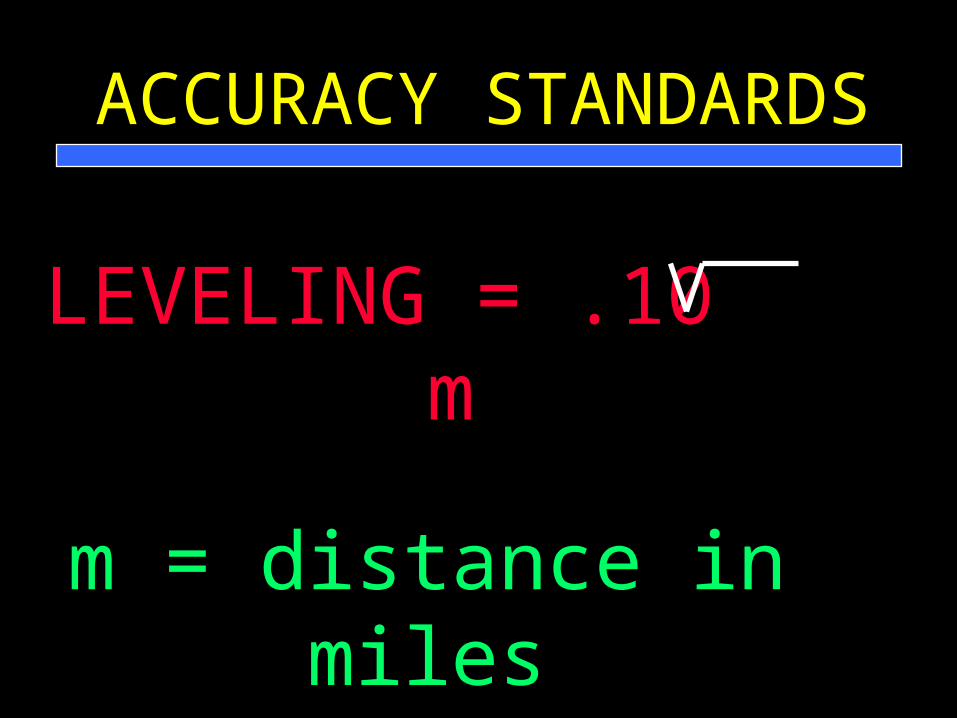
ACCURACY STANDARDS
LEVELING = .10 m
m = distance in miles

LEGAL REQUIREMENTS
• Neat and Accurate - DO NOT ERASE
• Can not be used to convey property, but may be used in court for claims
• Obtain permission of landowner before entering private property

LIABILITY OF A SURVEYOR
The Courts Have Ruled That Surveyors in Private Practice are Members of a Learned Profession and May be Held Liable for Incompetent Service Performed

USE OF SURVEYSDESIGN OF CONSERVATION
PRACTICES
• DETERMINE TOPOGRAPHY
• DETERMINE SLOPE OF WATERSHED
• DETERMINE ADEQUACY OF OUTLETS
• LOCATE EXISTING FEATURES

USE OF SURVEYS
CONSTRUCTION
• Layout where structure is to go
• Verify that it was constructed properly

USE OF SURVEYS
QUANTITY DETERMINATIONS
• Measure distances
• Determine volumes

TYPES OF SURVEYS
BENCH LEVEL
Basic system for differential leveling. Used to determine relative elevations of two or more bench marks

TYPES OF SURVEYS
PROFILE SURVEY
Determination of ground elevations at measured distances along a selected line

TYPES OF SURVEYS
CROSS SECTION SURVEY
Profile surveys usually taken at right angles to a baseline or reference line

TYPES OF SURVEYS
TOPOGRAPHIC SURVEY
Survey made to secure data from which a topographic map showing relief of land surface and the location and elevation of objects

PLANNING FOR A SURVEY
• Take a few minutes to plan
• Walk over the entire site
• Determine what information you want
• Determine locations for TBM’s
• Determine type survey procedure required
• Decide how to set up the field notes

Let’s change horses and talk about another
part of surveying

EQUIPMENT
Many kinds of equipment are available for use in surveying

TAPE
A graduated flexible ribbon used for measuring. It may be made of steel
or non-metallic materials

CHAINING PINS
Steel pins used to temporarily mark the ends of the tape as distances are
measured.

PLUMB BOB
A pointed metal weight suspended from a string used to project the
horizontal location of a point from one elevation to another

LOCKE (Hand) LEVEL
A small hand held tube with a spirit level bubble used for rough
differences in elevation.

ABNEY LEVEL
Similar to a Locke level except it has a graduated arc on the side for reading percent slope

ENGINEER’S LEVEL
A telescope with a spirit level level attached which revolves around a vertical axis and is mounted on a
tripod. It is used to determine differences in elevation.

LEVEL ROD
A graduated rod which used with the level to determine difference in
elevation. Can be a single piece or jointed. Normally made of wood of
fiberglasss
SURVEYOR’S COMPASS
A magnetic compass mounted on a staff and equipped with sight vanes. Used only for determining direction of lines. Used only for rough surveys. Nearly obsolete

RANGE POLE
A straight pole of wood or steel painted with alternating banks of red and white which is used as a sighting
rod.

ENGINEER’S TRANSITThe universal instrument
• Measures horizontal and vertical angles
• Measures distances by stadia
• Prolongs straight lines
• May be used for leveling

LASER LEVEL
Consists of a transmitter which is normally self leveling and emits a plane of light up to
300 feet or more in any direction and a receiver which indicates when is is centered
in the beam of light.

TOTAL STATION
Electronic “do it all” piece of survey equipment. Reads horizontal and vertical
distances. Uses a data recorder which can be downloaded to a computer for processing
survey notes

GLOBAL POSITIONING SYSTEMS
Uses satellites to determine locations. Depending on quality of
equipment used can be very accurate

Now, let’s charge ahead to another topic
•FIELD NOTES

ENGINEERING FIELD NOTES

NOMENCLATURE
• FS Fore Sight
• BS Back Sight
• HI Height of Instrument
• TP Turning Point
• RR Rod Reading
• TBM Temporary Bench Mark
• BM Bench Mark (Permanent)

VALUE OF CONCISE ACCURATE, DETAILED, LEGIBLE FIELD NOTES
• They allow you to produce a model in the office of what you saw in the field
• Allows others to view the site in detail without going to field
• Provide basis for detail planning
• Document actual site conditions

FORMAT FOR FIELD NOTES
• Neat, legible, not crowded (Field books are cheap !!!!!)
• Sketches and drawings
• Explanatory narrative
• TR-62

HOW DO FIELD NOTES FIT INTO OUR WORK?
• They are a means to an end. They help get to where we want to go. A vehicle only
• They allow us to illustrate to others:
–Contractors
–Landowners
–Decision makers

ANY QUESTIONS
??????????????????????????????????????????????????????????????????????????????????????????
????????