DISTRICT BROCHURE OF BALLIA DISTRICT, U.P
22
DISTRICT BROCHURE OF BALLIA DISTRICT, U.P. (A.A.P.: 2007-2008) By P.K. Tripathi Scientist 'B' CONTENTS Chapter Title Page No. DISTRICT AT A GLANCE ..................3 1.0 INTRODUCTION ..................5 2.0 CLIMATE & RAINFALL ..................6 3.0 GEOMORPHOLOGY ..................6 4.0 GROUND WATER SCENARIO ..................8 4.1 Hydrogeology 4.2 Ground Water Resource 4.3 Ground Water Quality 4.4 Status of Ground Water Development 5.0 GROUND WATER MANAGEMENT STRATEGY ..................11 5.1 Ground Water Development 5.2 Water Conservation Structure & Artificial Recharge 6.0 GROUND WATER RELATED ISSUES AND PROBLEMS ..................13 6.1 Water Logged Areas 6.2 Water Quality Problems (Geogenic) 6.3 Drilling Problems 6.4 Risk to Natural Disaster
Transcript of DISTRICT BROCHURE OF BALLIA DISTRICT, U.P

DISTRICT BROCHURE OF BALLIA DISTRICT, U.P. (A.A.P.: 2007-2008)
By
P.K. Tripathi Scientist 'B'
CONTENTS
Chapter Title Page No.
DISTRICT AT A GLANCE
..................3
1.0 INTRODUCTION
..................5
2.0 CLIMATE & RAINFALL
..................6
3.0 GEOMORPHOLOGY
..................6
4.0 GROUND WATER SCENARIO ..................8
4.1 Hydrogeology
4.2 Ground Water Resource
4.3 Ground Water Quality
4.4 Status of Ground Water Development
5.0 GROUND WATER MANAGEMENT STRATEGY ..................11
5.1 Ground Water Development
5.2 Water Conservation Structure & Artificial
Recharge
6.0 GROUND WATER RELATED ISSUES AND
PROBLEMS
..................13
6.1 Water Logged Areas
6.2 Water Quality Problems (Geogenic)
6.3 Drilling Problems
6.4 Risk to Natural Disaster
7.0 MASS AWARENESS PROGRAMME
..................14
8.0 RECOMMENDATIONS ..................15
PLATES:
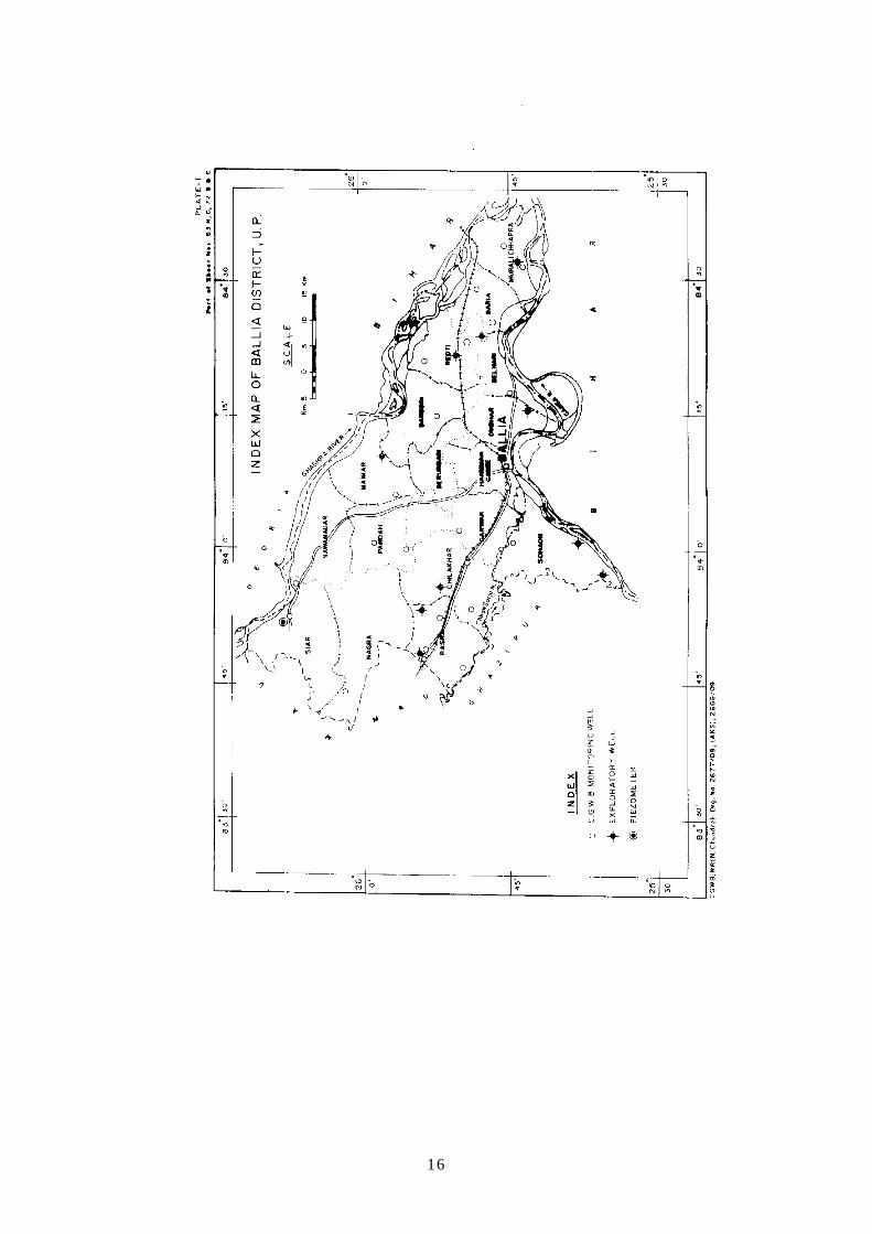
(I) INDEX MAP, BALLIA DISTRICT, U.P.
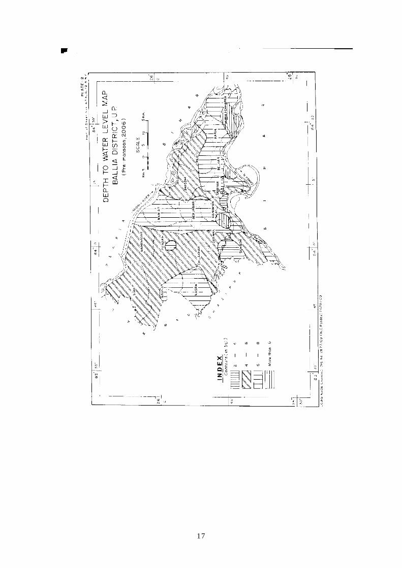
(II) DEPTH TO WATER LEVEL MAP (MAY 2006), BALLIA DISTRICT, U.P.
(III) DEPTH TO WATER LEVEL MAP (NOVEMBER 2006), BALLIA
DISTRICT, U.P.
(IV) HYDROGEOLOGICAL MAP OF BALLIA DISTRICT, U.P.
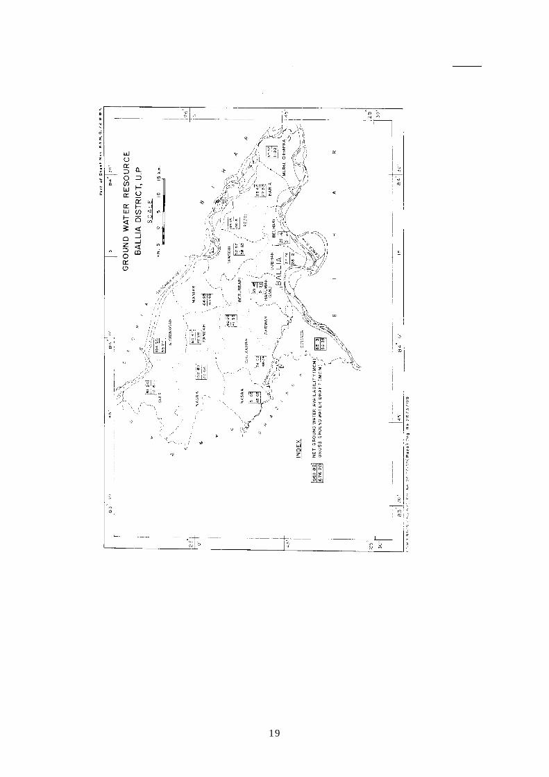
(V) GROUND WATER RESOURCE MAP, BALLIA DISTRICT, U.P.
(VI) MAP SHOWING POINT VALUES OF FLOURIDE, BALLIA DISTRICT,
U.P.
(VII) MAP SHOWING POINT VALUE OF ARSENIC, BALLIA DISTRICT, U.P.
(VIII) MAP SHOWING ARSENIC VALUES IN DIFFERENT AQUIFERS (AS
PER EXPLORATORY RESULTS) IN BALLIA DISTRICT, U.P.
2
DISTRICT BROCHURE OF BALLIA DISTRICT, U.P. (A.A.P.: 2007-2008)
By
P.K. Tripathi Scientist 'B'
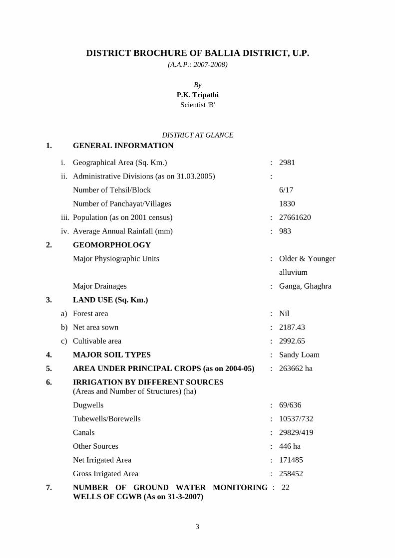
DISTRICT AT GLANCE 1. GENERAL INFORMATION
i. Geographical Area (Sq. Km.) : 2981
ii. Administrative Divisions (as on 31.03.2005)
Number of Tehsil/Block
Number of Panchayat/Villages
:
6/17
1830
iii. Population (as on 2001 census) : 27661620
iv. Average Annual Rainfall (mm) : 983
2. GEOMORPHOLOGY
Major Physiographic Units : Older & Younger
alluvium
Major Drainages : Ganga, Ghaghra
3. LAND USE (Sq. Km.)
a) Forest area : Nil
b) Net area sown : 2187.43
c) Cultivable area : 2992.65
4. MAJOR SOIL TYPES : Sandy Loam
5. AREA UNDER PRINCIPAL CROPS (as on 2004-05) : 263662 ha
6. IRRIGATION BY DIFFERENT SOURCES (Areas and Number of Structures) (ha)
Dugwells : 69/636
Tubewells/Borewells : 10537/732
Canals : 29829/419
Other Sources : 446 ha
Net Irrigated Area : 171485
Gross Irrigated Area : 258452
7. NUMBER OF GROUND WATER MONITORING WELLS OF CGWB (As on 31-3-2007)
: 22
3

No. of Dugwells : 1
No. of Piezometers : -
8. PREDOMINANT GEOLOGICAL FORMATIONS
9. HYDROGEOLOGY
Major water bearing formation : Sand, Silt & Gravel
(Pre-monsoon Depth to water level during 2006) : 2.42-9.90 mbgl
(Post-monsoon Depth to water level during 2006) : 1.55-8.35 mbgl
Long term water level trend in 10 years (1997-2006) in m/yr : Rise 0.01 to 14 cm/yr
Fall 1.10 to 23 cm/yr
10. GROUND WATER EXPLORATION BY CGWB (As on
31-3-2007)
No of wells drilled (EW, OW, PZ, SH, Total) : EW-10, PZ-1, OW-11
Depth range (m) : 160-750
Discharge (litres per second) : 16-115
Storativity (S) : 6.1×10⁻⁴-8.9×10⁻²
Transmissivity (m2/day) : 1000 to 6000 m2/day
11. GROUND WATER QUALITY
Presence of Chemical constituents more than permissible
limit (e.g. EC, F, As, Fe)
: -
Type of water
12. DYNAMIC GROUND WATER RESOURCES (2004)-in
MCM
Annual Replenishable Ground Water Resources : 96182.75 ham
(961.82 Mcm)
Gross Annual Ground Water Draft : 67620.50 ham
(676.20 Mcm)
Projected Demand for Domestic Industrial Uses upto 2029
Stage of Ground Water Development : 70.30%
13. AWARENESS AND TRAINING ACTIVITY
Mass Awareness Programmes organized : 1.0
Date 3.3.2003 : -
Place Rajpur Ekauna, Block Belehari : -
No. of participants : 300
4
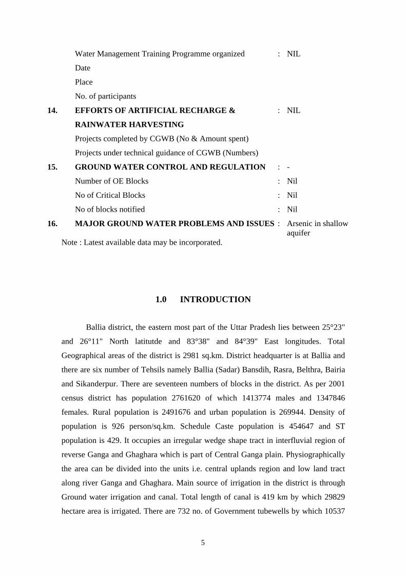
Water Management Training Programme organized : NIL
Date
Place
No. of participants
14. EFFORTS OF ARTIFICIAL RECHARGE &
RAINWATER HARVESTING
: NIL
Projects completed by CGWB (No & Amount spent)
Projects under technical guidance of CGWB (Numbers)
15. GROUND WATER CONTROL AND REGULATION : -
Number of OE Blocks : Nil
No of Critical Blocks : Nil
No of blocks notified : Nil
16. MAJOR GROUND WATER PROBLEMS AND ISSUES : Arsenic in shallow aquifer
Note : Latest available data may be incorporated.
1.0 INTRODUCTION
Ballia district, the eastern most part of the Uttar Pradesh lies between 25°23"
and 26°11" North latitutde and 83°38" and 84°39" East longitudes. Total
Geographical areas of the district is 2981 sq.km. District headquarter is at Ballia and
there are six number of Tehsils namely Ballia (Sadar) Bansdih, Rasra, Belthra, Bairia
and Sikanderpur. There are seventeen numbers of blocks in the district. As per 2001
census district has population 2761620 of which 1413774 males and 1347846
females. Rural population is 2491676 and urban population is 269944. Density of
population is 926 person/sq.km. Schedule Caste population is 454647 and ST
population is 429. It occupies an irregular wedge shape tract in interfluvial region of
reverse Ganga and Ghaghara which is part of Central Ganga plain. Physiographically
the area can be divided into the units i.e. central uplands region and low land tract
along river Ganga and Ghaghara. Main source of irrigation in the district is through
Ground water irrigation and canal. Total length of canal is 419 km by which 29829
hectare area is irrigated. There are 732 no. of Government tubewells by which 10537
5
hectare area is irrigated. Irrigation by private tubewell is 130996 hectare. Hence
82.50% area is irrigated by groundwater. Net shown area is 222543 hectare and net
irrigated area is 171845 ha. Net irrigated area to net shown area is 77.20%. For
drinking water supply pipe line schemes and India Mark II hand pump exist in the
district. There are 1830 India Mark II hand pumps for providing water to 2491676
persons.
Systematic hydrogeological survey was carried out by Dr. B.D. Pathak during
1964-65 and 1967 in the district. The studies for induced recharge in parts of Ballia
district was undertaken by CGWB in collaboration with School of Hydrology,
University of Roorkee in the period of 1977-81. Reappraisal hydrogeological survey
in the district Ballia was carried out by Dr. S. B. Singh, during 1989-90 by Sh. P. K.
Tripathi during 2002-03. At present Ground Water exploration in Ballia district is
being carried out for ascertaining Arsenic concentration in different aquifers and
providing arsenic free water.
2.0 CLIMATE AND RAINFALL
The district Ballia falls under sub humid climate with grassland vegetation. On
the basis of climatic classification with PE index of 44.4. The temperature is
maximum in May with 32.25°C followed by June with 30.75°C. The coldest month is
December (12.15°C) followed by January (15.9°C). The humidity is maximum in
August (82.5%) following by September (80%). Annual PET of Ballia district on the
basis of Varanasi data is 1608.9 mm. The normal annual rainfall is 983 mm while
monsoon rainfall is 864.8 mm.
3.0 GEOMORPHOLOGY
Ballia district falls in Central Ganga plain. General topography is flat to gentle
undulation. Following geomorphic units have been demarcated in the district.
6
a) Flood Plain:
It is restricted all along the river channels. The area is mostly covered by
present river and its adjacent smooth plains. It is comprised of coarse to fine
sand, silt, clay and gravel. The sand bar, abandoned channels levies land form
are very common in the area.
b) Newer Alluvial Plain:
It refers to old flood plain cycle of deposition. It is mostly consists of
unconsolidated coarse to fine sand, silt and clay of varying amounts. The
fluvial landforms, like paleo-channels meander scar, back swamps etc. are
observed.
c) Older Alluvial Plain:
The older alluvial plain forms the central part of the Ganga-Ghaghra
interfluve. The surface water divide passes through the area. The area is flat
and gently undulating due to palaeo-channels. It gently slopes towards east
besides north and south of water divide. It is mainly constituted of coarse to
fine sand, silt and clay. Palaeo-channels meander lakes marshy and swampy
lands are very common in this unit.
Soil Characteristics:
Soil of Ballia district is loamy in nature. It can be further classified on the
basis of texture, colour, pH and drainage. Four type of Land capability classification
are grouped on basis of soil.
(a) Good Cultivable Land:
This is the area of younger and older alluvium. Colour of soil is light grey,
yellowish brown, pH of soil varies from 7.8 to 8.3. It is well drained slightly
eroded soil. It covers area from east to west and north to south. Major parts of
the district occupy this type of soil.
(b) Moderately Good Cultivable Land:
Soil of this area is same as first group but due to moderately erosion its
fertility has decreased, pH of this group of soil varies from 7.2 to 8.2. Its
texture varies from silty to clayey loam.
7

(c) Fairly Good Land (Occasional Cultivation):
This soil has moderate to imperfect drainage, pH varies from 7.8 to 9.2. This
type of soil is found in canal command area and around lakes and ponds. Due
to shallow water table all salts are deposited near the surface of soil. Hence,
pH of soil increased.
(d) Non Cultivable Land:
Texture of soil is brown loam, clayey in nature. Due to capillary action salts
are deposited near surface, pH of soil is 9.5 to 10.3. It is poorly drained soil,
not suitable for cultivation. This type of soil is found south of Rasra and north
of Chhoti Sarju River. It occurs in patches.
4.0 GROUND WATER SCENARIO
4.1 HYDROGEOLOGY:
Alluvial tract of Ballia district is underlain by sands of various grades, gravels,
silt and clay. These have wide extension. The coarse, medium and fine sand are good
water bearing formations. In western part deepest drilling down to 750.25 meters has
been done at Gopalpur village. In eastern part (Doab) borehole drilled down to 360.0
meters. Based on borehole data three-tier system of aquifer exists in Ballia district.
Depth ranges are as follows:
S.N. Aquifer Western Part (Depth Range in meters)
Eastern Part (Depth Range in meters)
1. Ist 40.0-100.0 Down to 90.0
2. IInd 365.0- 457.0 100.0- 160.0
3. IIIrd 515.0- 540.0 180.0- 340.0
Ground water occurs under unconfined to semi-confined to confined
conditions.
8
Depth To Water Level:
As per depth to water level data of ground water monitoring stations of year
2006 pre-monsoon water level varies from 2.42 to 9.90 mbgl. In post-monsoon period
depth to water varies from 1.55 to 8.35 mbgl. Water level fluctuation varies from 0.85
to 3.65 meters. Shallow water level is in Cannal command area. Water level is deeper
in bank of Ganga and Ghaghra.
Long Term Water Level Trend:
The long term water level trend for ten years (1997-2006) of 29 ground water
monitoring wells have shown that only three wells have rising trend. These wells are
Ballia Chitbaragaon and Silhata. It varies from 0.01 to 14 cm/year. Remaining wells
show annual falling trend varies from 1.10 to 23 cm/year.
The yield of deep tube well constructed by C.G.W.B. varies from 2000 to
3000 lpm for normal draw down. The yield of state government tube well varies from
1000 lpm to 2000 lpm. The hydraulic parameters have been computed based on the
pumping tests on exploratory tube wells constructed by C.G.W.B. The transmissivity
varies from 1620 to 21576 m/day. The Storativity varies from 6.1×10⁻⁴ to 7.5×10⁻².
4.2 GROUND WATER RESOURCES:
As per report on Dynamic Ground Water Resources of Utter Pradesh as on
31.03.2004 annual ground water availability of the district is 96182.75 ham. The gross
ground water draft for all uses is 67620.50 ham. The stage of ground water
development is 70.30%. As per the estimates worked out only Bairia block is in Semi-
critical category and other blocks are in safe category.
4.3 GROUND WATER QUALITY:
The minerlisation of ground water depends upon lithology, texture and nature
of soil and hydrogeological property of zone through which water moves. The water
samples collected from ground water monitoring wells are analysed in Chemical
laboratory, Central Ground Water Board, Northern Region, Lucknow. The major
constituents except Arsenic are within permissible limits as per drinking water norms.
The Electrical conductivity on an average is between 500 to 1000 microsimen/cm.
The quality of ground water in deeper aquifer is comparatively better than that of
phreatic aquifer. The value of sodium adsorption ratio (SAR) at Bansdih, Khureji and
9
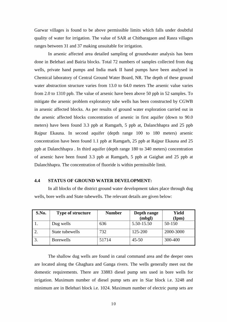
Garwar villages is found to be above permissible limits which falls under doubtful
quality of water for irrigation. The value of SAR at Chitbaragaon and Rasra villages
ranges between 31 and 37 making unsuitable for irrigation.
In arsenic affected area detailed sampling of groundwater analysis has been
done in Belehari and Bairia blocks. Total 72 numbers of samples collected from dug
wells, private hand pumps and India mark II hand pumps have been analysed in
Chemical laboratory of Central Ground Water Board, NR. The depth of these ground
water abstraction structure varies from 13.0 to 64.0 meters The arsenic value varies
from 2.0 to 1310 ppb. The value of arsenic have been above 50 ppb in 52 samples. To
mitigate the arsenic problem exploratory tube wells has been constructed by CGWB
in arsenic affected blocks. As per results of ground water exploration carried out in
the arsenic affected blocks concentration of arsenic in first aquifer (down to 90.0
meters) have been found 3.3 ppb at Ramgarh, 5 ppb at, Dalanchhapra and 25 ppb
Rajpur Ekauna. In second aquifer (depth range 100 to 180 meters) arsenic
concentration have been found 1.1 ppb at Ramgarh, 25 ppb at Rajpur Ekauna and 25
ppb at Dalanchhapra . In third aquifer (depth range 180 to 340 meters) concentration
of arsenic have been found 3.3 ppb at Ramgarh, 5 ppb at Gaighat and 25 ppb at
Dalanchhapra. The concentration of fluoride is within permissible limit.
4.4 STATUS OF GROUND WATER DEVELOPMENT:
In all blocks of the district ground water development takes place through dug
wells, bore wells and State tubewells. The relevant details are given below:
S.No. Type of structure Number Depth range (mbgl)
Yield (Ipm)
1. Dug wells 636 5.50-15.50 50-150
2. State tubewells 732 125-200 2000-3000
3. Borewells 51714 45-50 300-400
The shallow dug wells are found in canal command area and the deeper ones
are located along the Ghaghara and Ganga rivers. The wells generally meet out the
domestic requirements. There are 33883 diesel pump sets used in bore wells for
irrigation. Maximum number of diesel pump sets are in Siar block i.e. 3248 and
minimum are in Belehari block i.e. 1024. Maximum number of electric pump sets are
10

in Rasra block i.e. 1846 and minimum are in Murli Chhapra block i.e. 5. It can irrigate
1 to 1.5 hactare land. State tubewell constructed by Nal Koop Nigam for irrigation.
Maximum number of State tubewells are in Nagra block i.e. 74 and minimum
numbers are in Murli Chhapra block i.e. 24. It can irrigate 10 to 15 hactare land.
Tubewell constructed at Tricalpur, Sarwanpur, Pakwa Innar, Gopalpur and Kanuwan
by Central Ground Water Board are now used by State Government for irrigation.
Four blocks namely Bairia, Murlichhapra, Belehari, Dubhar and Rasra the only source
of irrigation is ground water since the area is devoid of Canal network system.
Maximum area irrigated by State tubewells is in Siar 727 hactare and minimum is in
Pandah i.e. 528 hactare. Maximum area irrigated through canal is in Siar block 6210
hactare and minimum in Hanumanganj 1035 hectare which is located in tail end of
Canal.
Drinking water tubewells have been constructed in town area and villages for
providing water through pipeline scheme. Depth of drinking water tubewells tapping
12 to 30 m granular zones varies from 77 to 129 mbgl. The yield of tubewells varies
from 1000 lpm to 2000 lpm. Out of 32 number of. tubewells constructed for urban
drinking water supply, 27 are in operation. These tubewells provide 34.08 MLD water
for 272831 persons. In rural area 19 pipelines scheme are under execution for
providing water in Arsenic affected area. Besides, pipeline scheme through tubewells
4707 India Mark II Hand pumps have also been constructed for drinking water.
Maximum number of handpumps are in Nava Nagar block i.e. 1480 and minimum are
in Siar block 106. Depth of these hand pumps varies from 33-50 m. Recently, for
mitigation of arsenic in ground water India Mark II hand pumps of 70.0 meter depth
have been constructed in Arsenic affected blocks.
5.0 GROUND WATER MANAGEMENT STRATEGY
5.1 GROUND WATER DEVELOPMENT:
The stage of ground water development in the district is 70.30%. The
maximum stage of ground water development is in Rasra block (89.42 %) and
minimum stage is in Murlichhapra block. In four blocks Bairia Garwar, Rasra and
11
Siar the stage of ground water development is above 80 %. The only one block Bairia
is in 'Semi-critical' category. The blocks Beruarbari, Sohaon, Chilkhar, Maniar,
Nagra, Navanagar falling in cannal command area and have less than 70% stage of
ground water development. The parts of Nagra, Pandah and Sohaon are water logged.
In non command area only one block Murlichhapra has stage of ground water
development less than 70%. Hence, these blocks have good scope for further ground
water development through shallow and moderately deep tubewells. In cannal
command area strategy of conjunctive use of surface and ground water needs to be
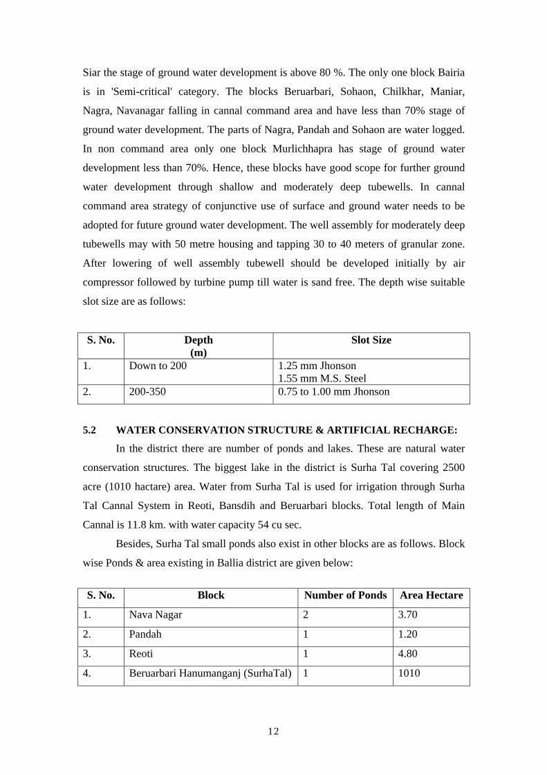
adopted for future ground water development. The well assembly for moderately deep
tubewells may with 50 metre housing and tapping 30 to 40 meters of granular zone.
After lowering of well assembly tubewell should be developed initially by air
compressor followed by turbine pump till water is sand free. The depth wise suitable
slot size are as follows:
S. No. Depth (m)
Slot Size
1. Down to 200 1.25 mm Jhonson 1.55 mm M.S. Steel
2. 200-350 0.75 to 1.00 mm Jhonson
5.2 WATER CONSERVATION STRUCTURE & ARTIFICIAL RECHARGE:
In the district there are number of ponds and lakes. These are natural water
conservation structures. The biggest lake in the district is Surha Tal covering 2500
acre (1010 hactare) area. Water from Surha Tal is used for irrigation through Surha
Tal Cannal System in Reoti, Bansdih and Beruarbari blocks. Total length of Main
Cannal is 11.8 km. with water capacity 54 cu sec.
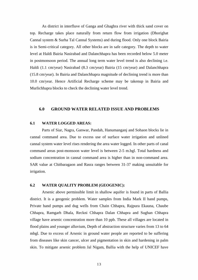
Besides, Surha Tal small ponds also exist in other blocks are as follows. Block
wise Ponds & area existing in Ballia district are given below:
S. No. Block Number of Ponds Area Hectare
1. Nava Nagar 2 3.70
2. Pandah 1 1.20
3. Reoti 1 4.80
4. Beruarbari Hanumanganj (SurhaTal) 1 1010
12
As district in interfluve of Ganga and Ghaghra river with thick sand cover on
top. Recharge takes place naturally from return flow from irrigation (Dhorighat
Cannal system & Surha Tal Cannal Systems) and during flood. Only one block Bairia
is in Semi-critical category. All other blocks are in safe category. The depth to water
level at Haldi Bairia Nasirabad and Dalanchhapra has been recorded below 5.0 meter
in postmonsoon period. The annual long term water level trend is also declining i.e.
Haldi (1.1 cm/year) Nasirabad (8.3 cm/year) Bairia (15 cm/year) and Dalanchhapra
(15.8 cm/year). In Bairia and Dalanchhapra magnitude of declining trend is more than
10.0 cm/year. Hence Artificial Recharge scheme may be takenup in Bairia and
Murlichhapra blocks to check the declining water level trend.
6.0 GROUND WATER RELATED ISSUE AND PROBLEMS
6.1 WATER LOGGED AREAS:
Parts of Siar, Nagra, Ganwar, Pandah, Hanumanganj and Sohaon blocks lie in
cannal command area. Due to excess use of surface water irrigation and unlined
cannal system water level rises rendering the area water logged. In other parts of canal
command areas post-monsoon water level is between 2-5 m.bgl. Total hardness and
sodium concentration in cannal command area is higher than in non-command area.
SAR value at Chitbaragaon and Rasra ranges between 31-37 making unsuitable for
irrigation.
6.2 WATER QUALITY PROBLEM (GEOGENIC):
Arsenic above permissible limit in shallow aquifer is found in parts of Ballia
district. It is a geogenic problem. Water samples from India Mark II hand pumps,
Private hand pumps and dug wells from Chain Chhapra, Rajpura Ekauna, Chaube
Chhapra, Ramgarh Dhala, Reckni Chhapra Dalan Chhapra and Sughan Chhapra
village have arsenic concentration more than 10 ppb. These all villages are located in
flood plains and younger alluvium, Depth of abstraction structure varies from 13 to 64
mbgl. Due to excess of Arsenic in ground water people are reported to be suffering
from diseases like skin cancer, ulcer and pigmentation in skin and hardening in palm
skin. To mitigate arsenic problem Jal Nigam, Ballia with the help of UNICEF have
13
analysed all hand pumps in the district by Arsenic kit. The Red marking has been
done in handpumps which have reported Arsenic more than 50 ppb so that people do
not drink water from these hand pumps.
Central Ground Water Board, Northern Region has started exploration study
in Arsenic affected blocks of Ballia district in April, 2005. Till March 2007 in five
blocks i.e. Belehari, Bairia, Murli Chhapra, Reoti, Maniar deep exploratory tubewell
have been constructed for providing safe water in arsenic affected villages.
6.3 DRILLING PROBLEMS:
During exploratory drilling in arsenic affected blocks one deep exploratory
tubewell constructed down to 350 meter. Interpretation of lithological and electrical
logs reveals presence of fines to very fines sediments below 200 metres due to which
caving problem has been observed at Haldi Rampur and Sultanpur sites. Considerable
time is required for development of deep exploratory tubewells tapping the above
mentioned sediments.
6.4 RISK TO NATURAL DISASTER:
Doab area of Ballia district is affected by flood of Ganga and Ghaghra.
Embankment along Ganga and Ghaghra river have been constructed by Flood Control
Department. During the month of August due to rise in water level of Ganga and
Ghaghra major part of Belehari, Bairia, Murli Chhapra, Reoti Bansdih and Maniar
block is affected by flood. About 50105 hactare area is affected by flood.
7.0 MASS AWARENESS PROGRAMME
The Mass Awareness Programme on the theme "Arsenic Problem in Ground
water in Ballia district, UP and its Mitigation" was organized at Rajpur Ekauna
exploratory borehole site on 03.3.2006. Sh. Vijay Pratap Singh, Block Pramukh was
chief guest on the occasion. The programme was organized at exploratory drilling site
to make aware the common mass about the adverse effects of Arsenic beyond
permissible limit in ground water on human health and its mitigation. The programme
14
was well attended by about 300 persons involved officials of Belehari Block, Gram
Pradhan - Bajraha, Gram Sewak, farmers, teachers and students of local primary
school. The exhibits/poster depicting adverse effects of Arsenic and fluoride beyond
permissible limits in groundwater and various techniques of Artificial Recharge / Rain
Water Harvesting were displayed. The local people showed curiosity to go through
the exhibits and put the quarries which were explained by the Scientists of CGWB,
NR.
8.0 RECOMMENDATIONS
(a) The ground water in the area occurs under unconfined to semiconfined
to confined conditions thus there is good scope of ground water
development through handpumps, borewells and tubewells constructed
at favourable sites and particularly for drinking purpose in view of
occurrence of arsenic in ground water.
(b) The results of phreatic aquifer samples and ground water exploration
by CGWB in arsenic affected blocks have revealed that deep aquifer
(below first aquifer) zones are suitable for arsenic safe water. The deep
tube well down to 350.0 meter depth tapping 30 to 40 meter of
granular zones below first aquifer (whose depth is down to 90 meters)
with cement sealing along confining layer would provide 1000 to 3000
lpm yield for normal draw down.
(c) In cannal command area conjunctive use of surface water and ground
water should be adopted to check adverse effects of water logging.
15
16
17

18
19

20

21

22


