Journal Name · Please do not adjust margins Please do not adjust margins
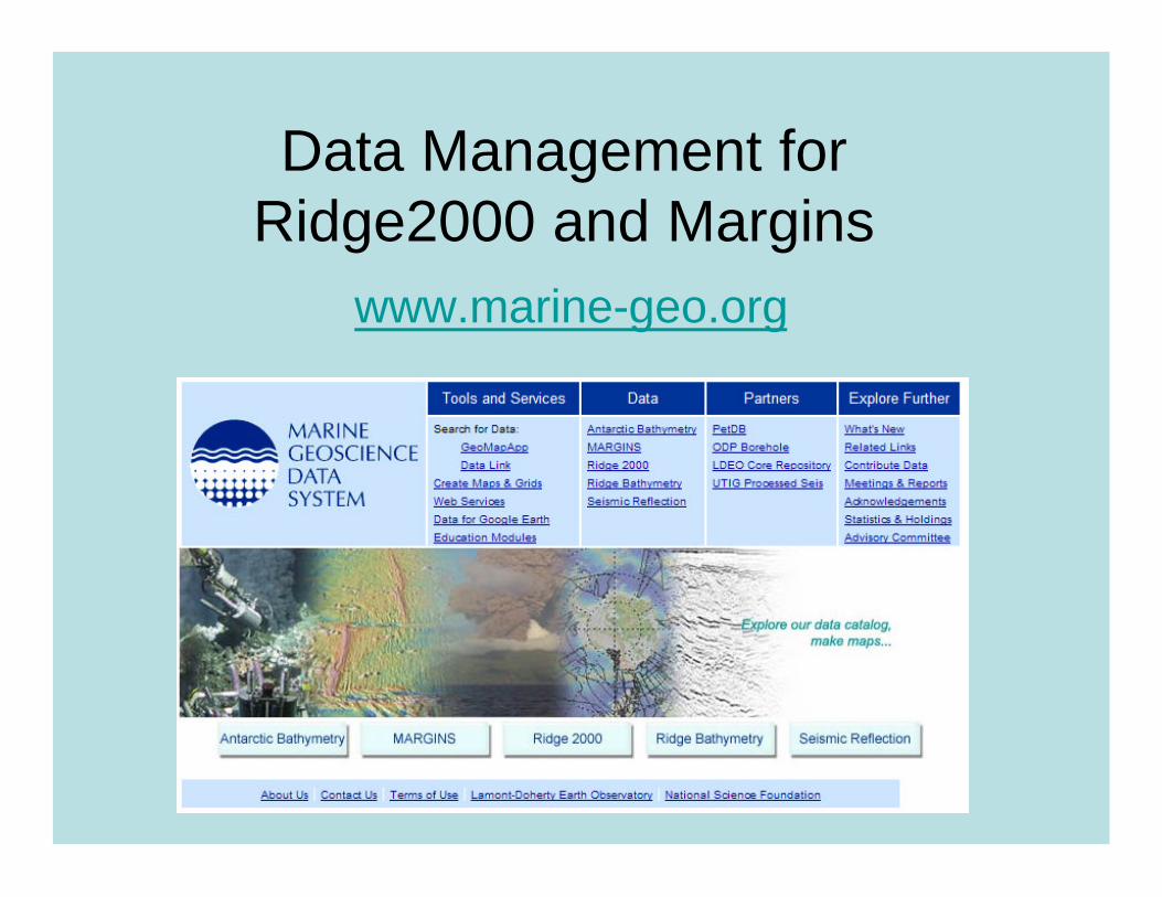
Data Management for Ridge2000 and Margins
www.marine-geo.org
Goals• Enable Ridge2000 and Margins communities to find data that have been collected (what, where, when, who)
Catalog
• Enable broader community accessData Repository, Access Services
• Preserve data for future useMetadata Standards, replicate storage
• Facilitate visualization and exploration of data (our tools and others)
GMA, GoogleEarth, ArcGIS, Fledermaus
Requirements
• Handle large and DIVERSE datasets (seismic, sonar, geological, fluid, biological, rock, and sediment samples, temperature, photo imagery)
*very different from existing DB
• Serve a DIVERSE user community –non-specialist and specialist access
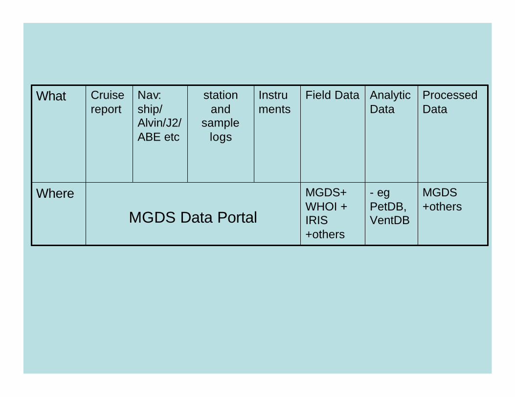
MGDS+ WHOI + IRIS +others
Field Data
- egPetDB, VentDB
Analytic Data
MGDS +others
MGDS Data Portal
Where
Processed Data
Instruments
station and
sample logs
Nav: ship/ Alvin/J2/ABE etc
Cruise report
What

WHOIWHOIMGG Legacy Data
Photos, SCS, velocityCommunity data
MGG Legacy DataPhotos, SCS, velocity
Community data
Ridge2000/MARGINSData with no repos
Derived Data
Ridge2000/MARGINSData with no repos
Derived Data
UTIGUTIG
SIOSIO
PetDBPetDB
otherother
Data Objects within External Repositories Data Objects within
Local Repository
GeoMapApp
Cruise Data Catalog
GeoMapApp
Cruise Data Catalog
IRISIRIS
GeophysicalSensor Database for
Palmer/Gould/Langseth/Ewing
GeophysicalSensor Database for
Palmer/Gould/Langseth/Ewing

Data Portal
•Functionality•Download forms•Browse data holdings•Download data•Links to external sites

Metadata Forms
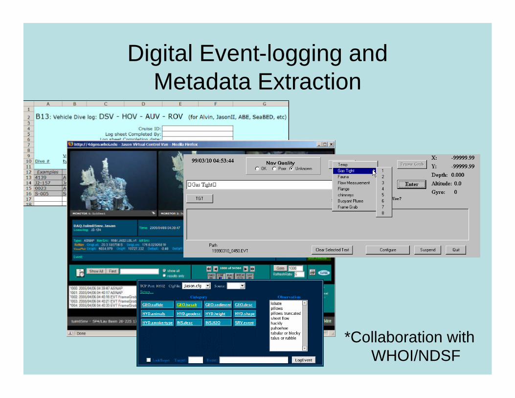
Digital Event-logging and Metadata Extraction
*Collaboration with WHOI/NDSF

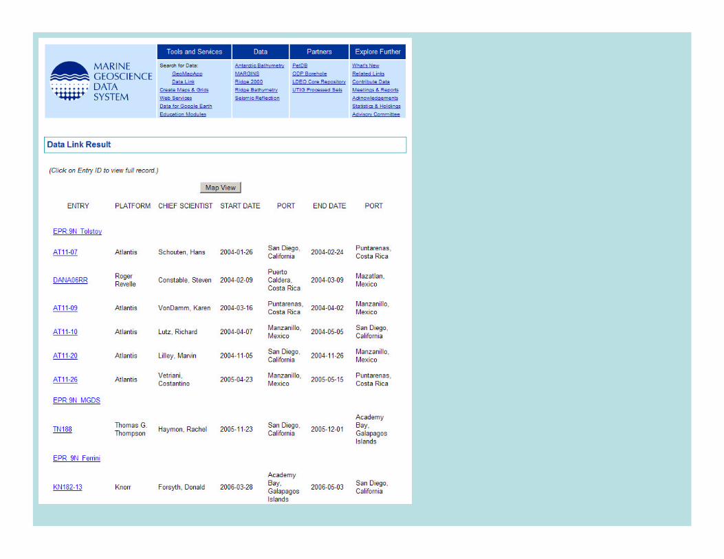
Browse data holdings


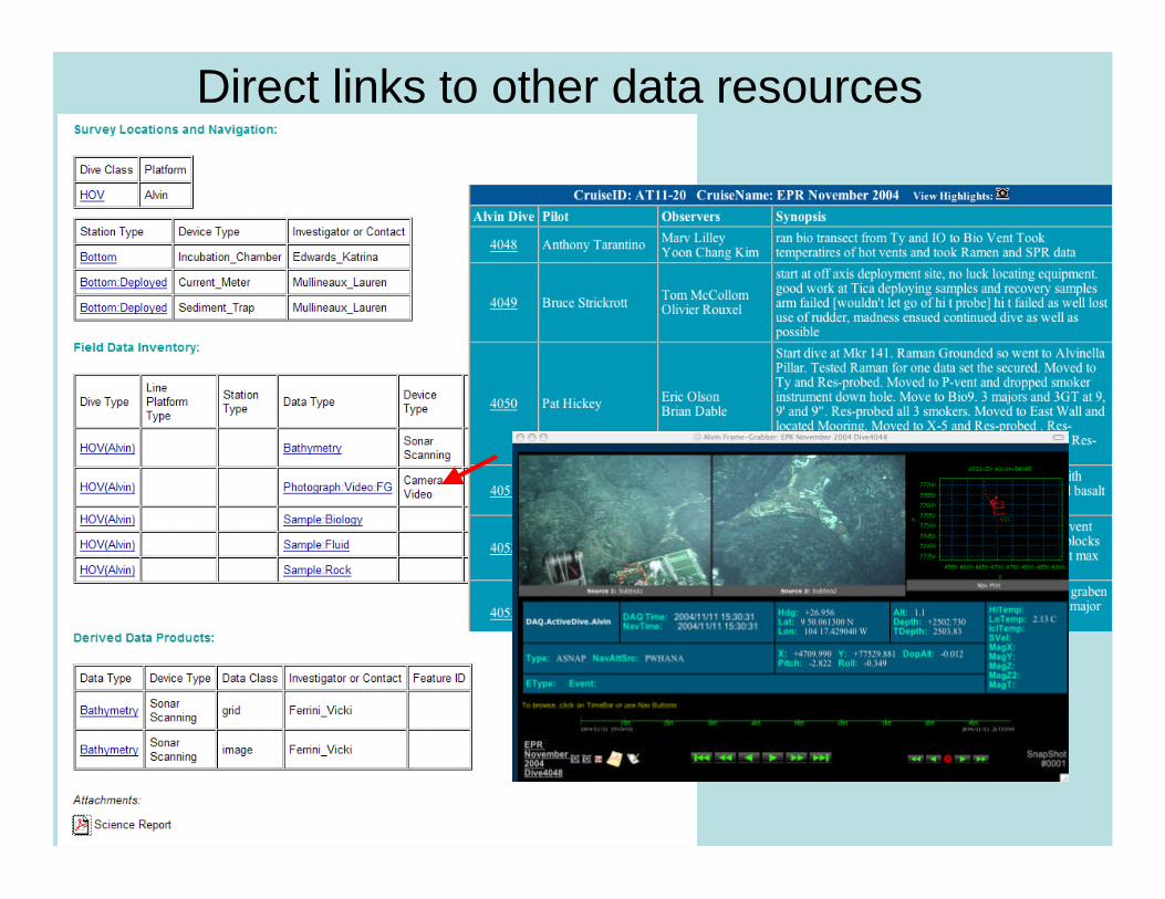
Direct links to other data resources
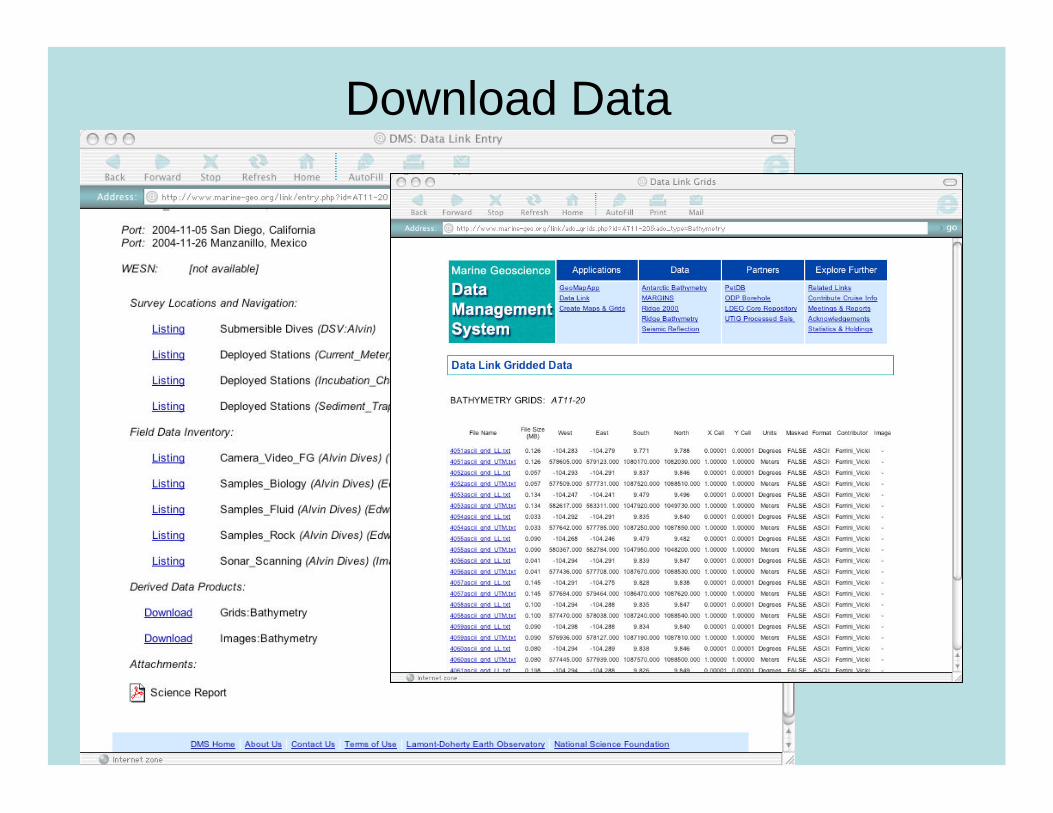
Download Data
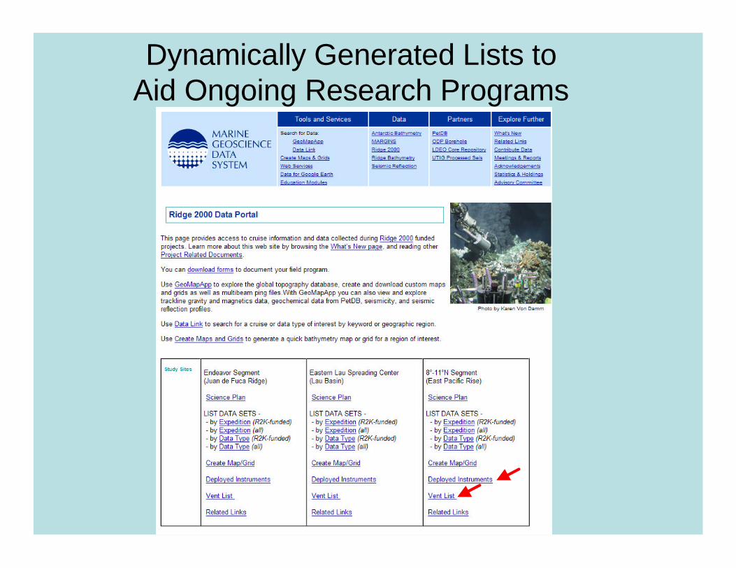
Dynamically Generated Lists to Aid Ongoing Research Programs

Deployed instruments
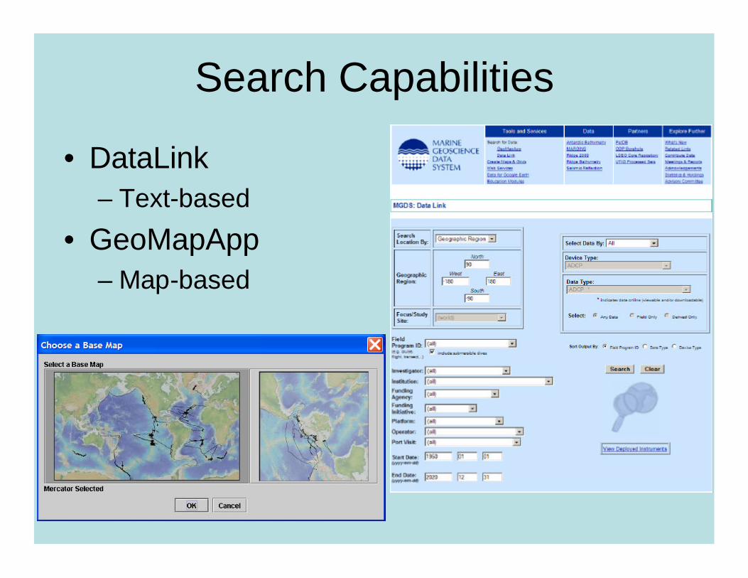
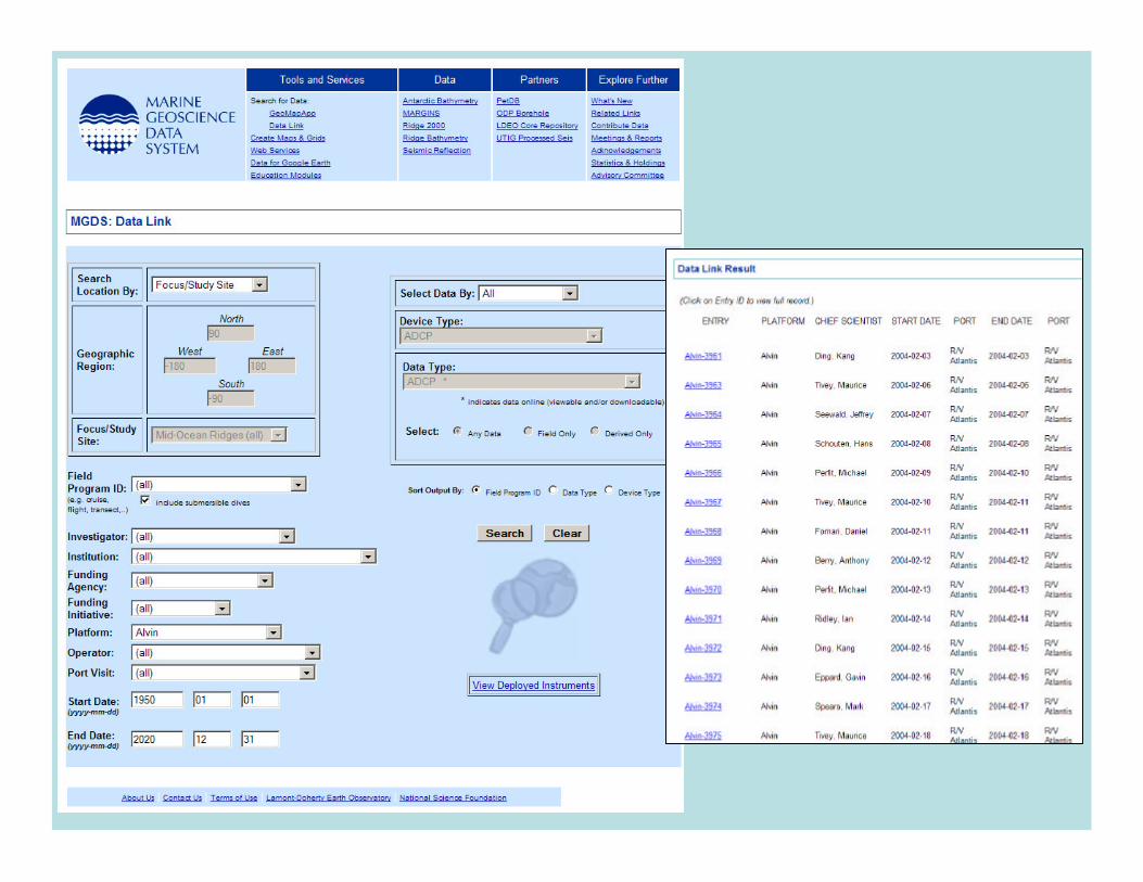
Search Capabilities
• DataLink– Text-based
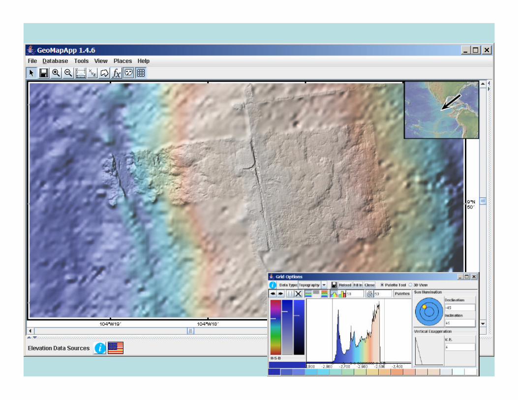
• GeoMapApp– Map-based
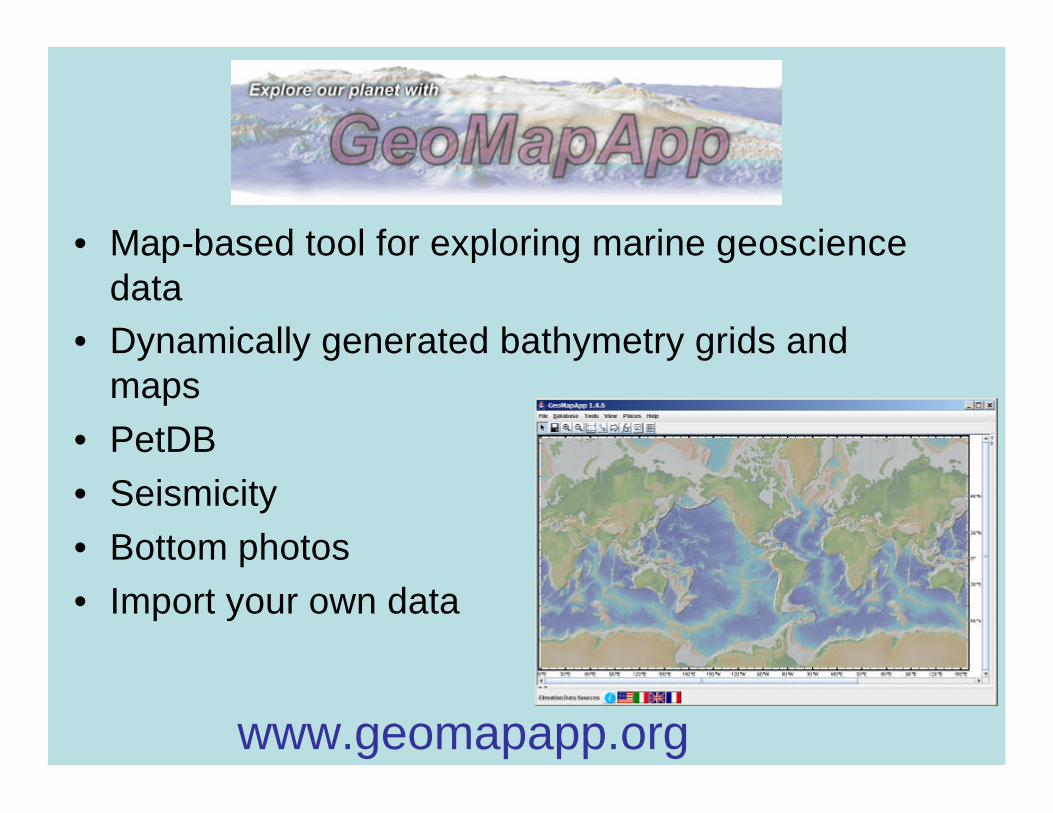
• Map-based tool for exploring marine geosciencedata
• Dynamically generated bathymetry grids and maps
• PetDB• Seismicity• Bottom photos• Import your own data
www.geomapapp.org


Load from database
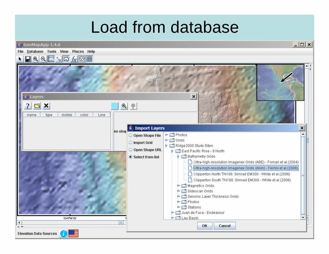
Load from database

Load from database
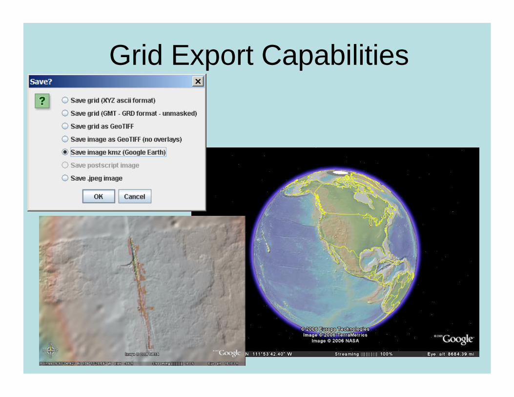
Grid Export Capabilities

Load from Database
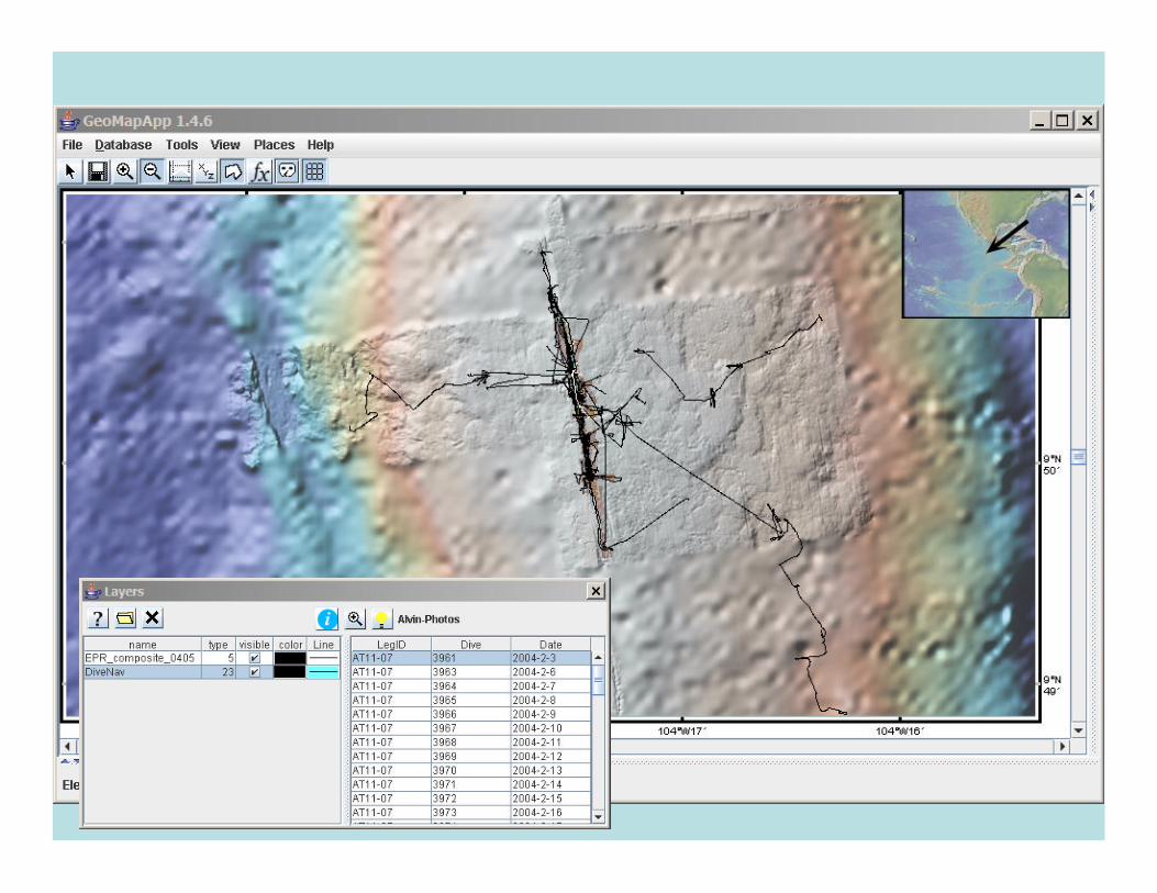


Load Custom Data
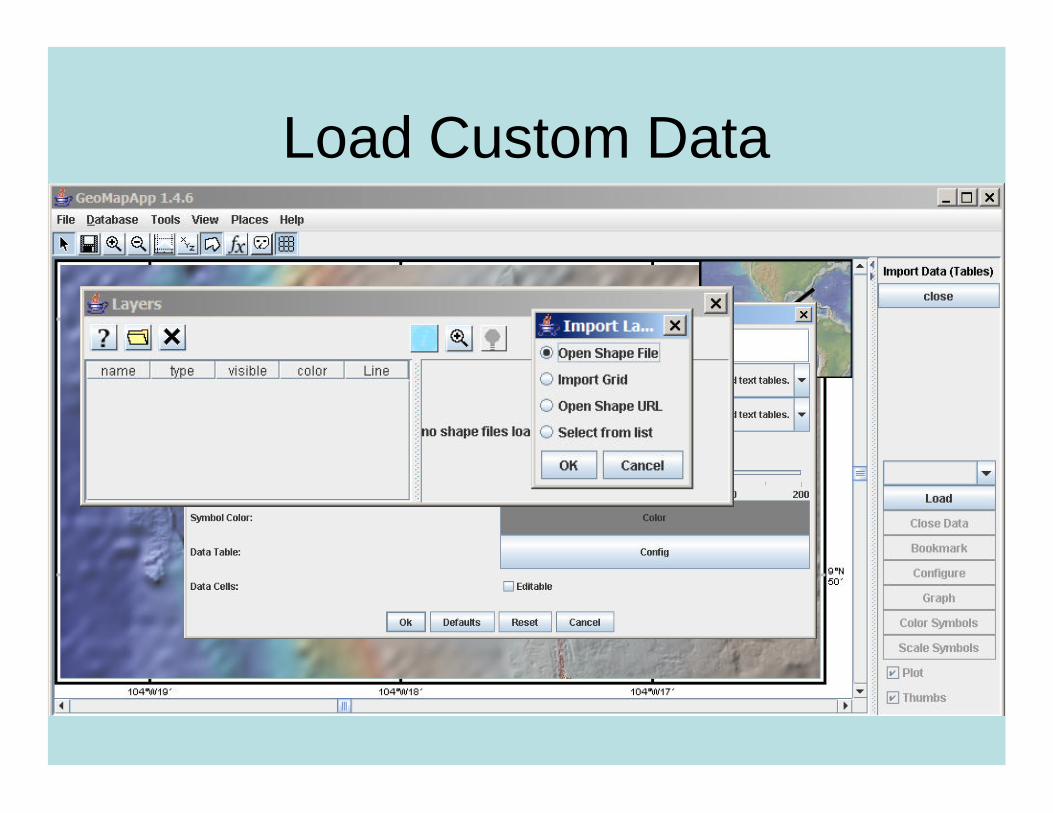
Load Custom Data

Questions or comments concerning the MGDS or any of our tools or data sets:
Questions or comments specifically concerning the Java application GeoMapApp:
www.marine-geo.org