Remote Sensing Meteorological Satellites Applied to Earth Surface Observation
Upload
anabel-mccormickCategory
view
223download
1
Coordination Group for Meteorological Satellites - CGMSCoordination Group for Meteorological Satellites - CGMS
Climate Monitoring Architecture: Status and
way forward
Presented to CGMS-41 plenary session

Coordination Group for Meteorological Satellites - CGMS
CGMS HLPPAdvancing the architecture for climate monitoring from space…
Assess how CGMS can optimally contribute to the implementation of the GFCS by taking an active role in the construction of the Architecture for Climate Monitoring from Space;
Evaluate the “CGMS baseline for the operational contribution to the GOS” in the light of the logical view of the architecture;
Ensure the data holdings of CGMS members are appropriately reflected in the Architecture for Climate Monitoring from Space (physical view) through their systematic contributions to the Essential Climate Variable (ECV) Inventory;
Work with CEOS towards a sustainable implementation of the global architecture for climate monitoring from space. (CGMS 40 Plenary Action)

Coordination Group for Meteorological Satellites - CGMS
Progress since CGMS-40• Space Architecture key component of GFCS Observations and
Monitoring Pillar• Space and Climate Week, February 18-22, 2013
– Evaluation of ECV inventory effort; additional outreach for CGMS agencies – ECV validation procedure– Analysis approach– Discussion of Assessments
• Status of ECV Inventory: Continuous Process; encourage additional input
• Mapping satellite plans to CGMS baseline and ECVs– template developed by WMO and distributed on May 14
by CGMS Secretariat • Terms of Reference of Proposed CEOS-CGMS Working Group
on Climate

Coordination Group for Meteorological Satellites - CGMS
Architecture Strategy Published

Coordination Group for Meteorological Satellites - CGMS
Way Forward
Describe Current and Planned Implementation Arrangements
(ECV-by-ECV) within the Physical Architecture
Use the Physical Architecture to Develop a Coordinated Action
Plan to Address Identified Gaps/Shortfalls
Define, Validate and Obtain Consensus on Overall Approach
Short-term
(within 2 years)
Medium-term
(2-4 years)
Current status
Coordination Group for Meteorological Satellites - CGMS
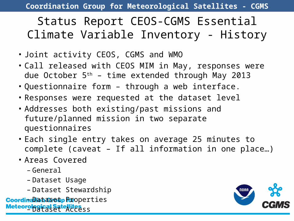
Status Report CEOS-CGMS Essential Climate Variable Inventory - History
• Joint activity CEOS, CGMS and WMO• Call released with CEOS MIM in May, responses were due October 5th –
time extended through May 2013• Questionnaire form – through a web interface.• Responses were requested at the dataset level• Addresses both existing/past missions and future/planned mission in
two separate questionnaires• Each single entry takes on average 25 minutes to complete (caveat – If
all information in one place…)• Areas Covered
– General– Dataset Usage– Dataset Stewardship– Dataset Properties– Dataset Access

Coordination Group for Meteorological Satellites - CGMS
Status Report CEOS-CGMS Essential Climate Variable Inventory - Response
• 213 Records entered by 11 different Space Agencies• 25 of 29 Satellite-based ECVs submitted – 10 of 11
Atmosphere, 4 of 6 Oceans, and 11 of 12 Terrestrial (missing greenhouse gas precursors, sea surface salinity, sea state, and lakes)
• Working to fill in some ECVs that did not have complete information
Coordination Group for Meteorological Satellites - CGMS
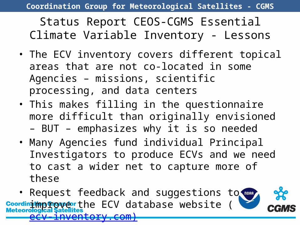
Status Report CEOS-CGMS Essential Climate Variable Inventory - Lessons
• The ECV inventory covers different topical areas that are not co-located in some Agencies – missions, scientific processing, and data centers
• This makes filling in the questionnaire more difficult than originally envisioned – BUT – emphasizes why it is so needed
• Many Agencies fund individual Principal Investigators to produce ECVs and we need to cast a wider net to capture more of these
• Request feedback and suggestions to improve the ECV database website (ecv-inventory.com)
• Request feedback on how the data will be used and potential queries or analysis products
Coordination Group for Meteorological Satellites - CGMS
0
5
10
15
20
25
30
35
40
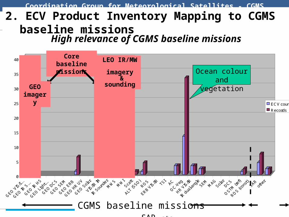
Baseline missions
Mapping of the ECV inventory with the CGMS Baseline
ECV count
Records
2. ECV Product Inventory Mapping to CGMS baseline missions High relevance of CGMS baseline missions
Core baseline missions
GEO imagery
LEO IR/MW imagery
& sounding Ocean colour and vegetation
CGMS baseline missions SAR,etc

Coordination Group for Meteorological Satellites - CGMS
• CGMS Baseline addresses the sensing level (sensor categories and system configuration) including calibration
Scope of the “CGMS baseline” in the end-to-end process
I1
Earth Environment
O1
DecisionsDecision-Making (including
adaptation & mitigation policy
and planning)A5
ReportsSense Earth Environment
A1
Observations
Create and Maintain
Short/Medium Term Climate Data
Records
A2
Create and Maintain Long-
term Climate Data Records
A3
Interim Climate Data Records
Operational Climate Monitoring
A4
Long-term Climate Variability &
Climate Change Analysis
A7
Climate DataRecords
Create and Maintain Higher-Level Climate Information (e.g. CDR
analysis or model-based reanalysis)
A8
Climate InformationRecords
Sensing Climate Record Creation Applications Decision-Making

Coordination Group for Meteorological Satellites - CGMS
Recommendations Extend the ECV product inventory to FCDRs (not only for
derived TCDRs )• The CGMS baseline has a prospective dimension but often too
generic to inform on FCDRs : Use refined version of CGMS baseline missions (finer
categorization) to draw list of sustained FCDRs coordinated by CGMS
Design phase of new sensors should include analysis of compatibility with heritage sensors

Coordination Group for Meteorological Satellites - CGMS
Way Forward
CGMS Priorities and Actions:
• More input by CGMS members requested;– ECV Inventory– Mapping satellite plans to CGMS baseline and ECVs:
• Action 8: WG III to review the categorization of missions in the CGMS baseline and refine it as appropriate in order to support a high-level mapping with FCDRs.
• Action 9: WG III to define a first list of FCDRs that CGMS Members can commit to provide on a sustained basis as a contribution to the architecture for climate monitoring from space, building on the CGMS baseline, and to communicate this contribution to the future CEOS-CGMS working group on climate.


![Agency, version?, Date 2014? [update filed in the slide master] Coordination Group for Meteorological Satellites - CGMS Add CGMS agency logo here (in the.](https://static.fdocuments.in/doc/165x107/56649c935503460f9494e678/agency-version-date-2014-update-filed-in-the-slide-master-coordination.jpg)