Complete Streets for public health - … Streets for public health Making it Better Conference...
33
Complete Streets for public health Making it Better Conference November 16, 2011 Ethan Fawley, Fresh Energy
Transcript of Complete Streets for public health - … Streets for public health Making it Better Conference...

Complete Streets for public health
Making it Better Conference
November 16, 2011 Ethan Fawley, Fresh Energy

Small Group Exercise:
Draw a “complete” street

What are “complete” streets? Complete Streets are designed and
operated to be safe and accessible for
pedestrians, transit riders, bicyclists,
and drivers—all users, regardless of
age or ability.

What do “complete” streets look like? Vary by local context Typically include
sidewalks and safe crossing points in urban and suburban areas
Typically include bike
lanes or path on busier roads
Include texturized curb
ramps for wheelchair users and visually impaired

Many types of “complete” streets

Example: Franklin Ave in Minneapolis The “incomplete”
12-inch wide Sidewalk

Heading to the “complete”…
New businesses

Why? Access and equity Health Environment High gas prices Personal preferences Quality of life Main Street vitality Tourism
SAFETY

Residents are 65% more likely to walk in a neighborhood with sidewalks
Cities with more bike lanes per square mile have higher levels of bicycle commuting
Complete Streets are recommended by:
The Centers for Disease Control and Prevention
Minnesota State Obesity Plan
Blue Cross and Blue Shield of Minnesota, American Heart Association, Minnesotans for Healthy Kids Coalition, and Minnesota Public Health Association
Benefits: Health

Benefits: Health Obesity is lower in places where people use bicycles, public transportation, and their feet.
0
5
10
15
20
25
30
USA
New Zeal
and
Austral
ia
CanadaIre
landFran
ce
FinlandIta
lySpai
n
German
y
SwedenAust
ria
Netherl
ands
Switzerl
and
Denmark
Perc
ent o
f Obe
sity
0
10
20
30
40
50
60
Perc
ent W
alk,
Bik
e,T
rans
it
Obesity Walk, Bike, Transit
Pucher, “Walking and Cycling: Path to Improved Public Health,” Fit City Conference, NYC, June 2009

Benefits: Health
States with the highest levels of biking and walking have, on average, the lowest rates of obesity, diabetes, and high blood pressure.
Bicycling and Walking in the United States: 2010 Benchmarking Report, Alliance for Biking and Walking

Example: Albert Lea Blue Zones AARP, Dan Buettner, and
the City led project to improve the length and quality of lives
Life expectancy of 786 full participates increased by an average of 2.9 years
Project included “walking moias,” walking school buses, walkability audit, and a new Complete Streets subdivision ordinance
City added first bike lane in 2011

The Potential Nationally:
50% of trips 3 miles or less
28% of trips 1 mile or less
72% of trips of 1 mile or less are driven
Source: Dan Burden

What is a Complete Streets policy?
Directs transportation planners and engineers to consistently design roads will all users in mind
Declares political support for building
“complete” streets
Sets a vision for a Complete Streets process Focused on safety and accessibility of all road
users
Offers implementation steps

Growing national movement 290+ policies in last 11 years
Num
ber
of
Polic
ies
Adopte
d
0
10
20
30
40
50
60
70
80
90
2000 2001 2002 2003 2004 2005 2006 2007 2008 2009 2010

Growing Minnesota movement
Rochester Hennepin County St. Paul Albert Lea Bloomington Duluth Independence Byron Stewartville Big Lake St. Louis Park Fargo-Moorhead Metro COG
Red Wing New Hope North St. Paul Breckenridge Pipestone St. Cloud APO Rochester-Olmsted COG Dilworth Battle Lake Wilkin County Eagan
State policy for Mn/DOT signed May 15, 2010 by then-Governor Pawlenty after strong bi-partisan legislative support
Local resolutions or policies


Getting started on Complete Streets in your community
Most common process in Minnesota 1. Understand the case for Complete
Streets—decide whether to go for a policy or project to start
2. Work group drafts a resolution of support
3. Council/board approves resolution 4. Work group creates a full policy 5. Council/board approves policy 6. Implementation and reporting

Step 1: Understanding the case • Determine some compelling potential
benefits for your community – Connect with comprehensive plan – Safety, health, environment, schools,
economic, etc.
• Connect with a few potential allies across focus areas
• Find local examples—or upcoming local
projects that could be case studies
• Begin to engage engineers
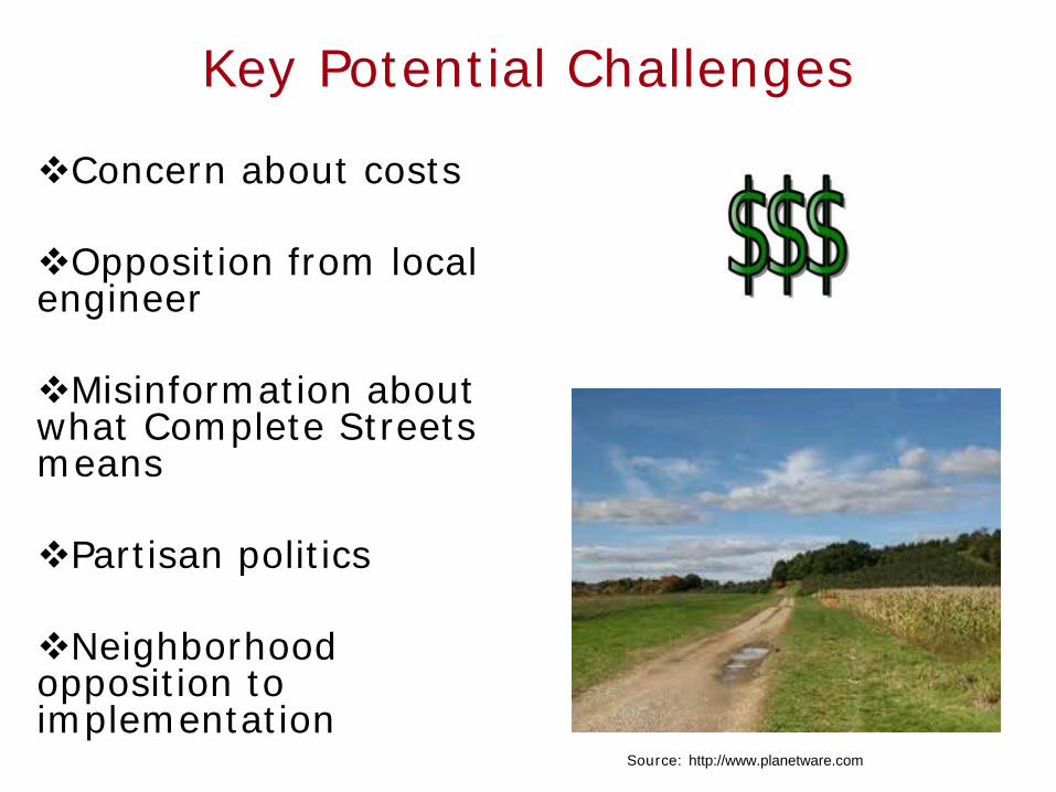
Key Potential Challenges
Concern about costs Opposition from local engineer Misinformation about what Complete Streets means
Partisan politics
Neighborhood opposition to implementation
Source: http://www.planetware.com
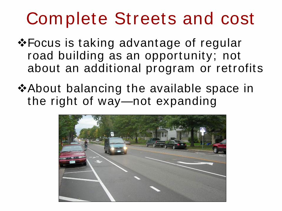
Complete Streets and cost Focus is taking advantage of regular
road building as an opportunity; not about an additional program or retrofits
About balancing the available space in the right of way—not expanding

Complete Streets and cost About maximizing the value of public
investment across many goals
None of the cities, counties, or states have needed to raise additional money to pay for Complete Streets and no community has later reversed their policy

Key Policy Strategy Takeaways
Work with the engineers as early and positively as possible
Build a campaign focused on what you need for success Partner with allies from various perspectives
Be willing to compromise, but don’t sell out
Engage media
Key Policy Strategy Takeaways
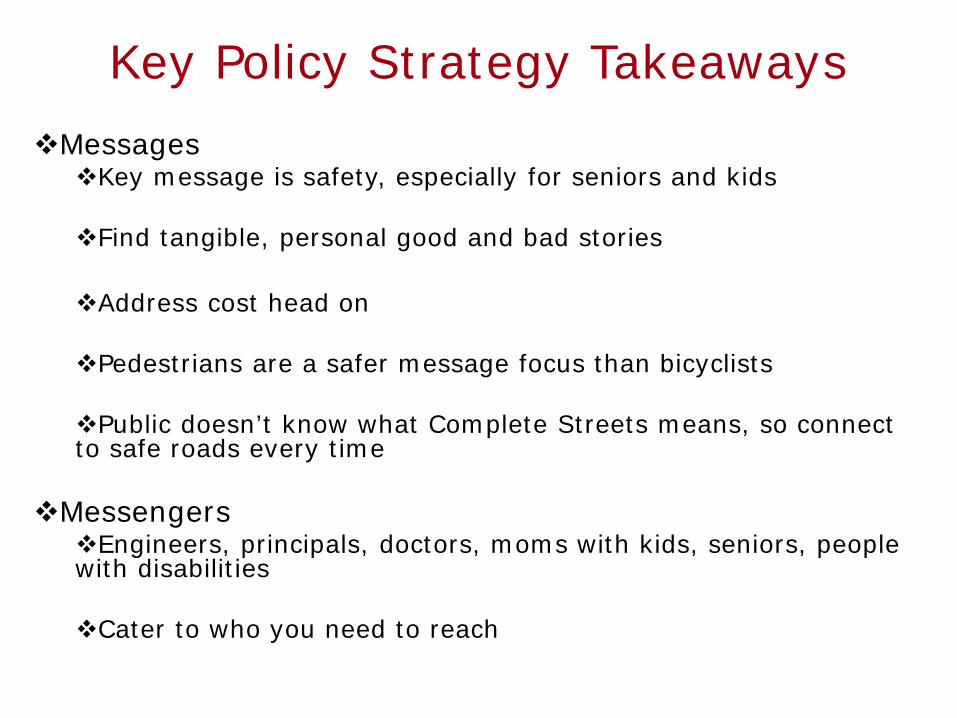
Messages Key message is safety, especially for seniors and kids
Find tangible, personal good and bad stories
Address cost head on
Pedestrians are a safer message focus than bicyclists
Public doesn’t know what Complete Streets means, so connect to safe roads every time
Messengers Engineers, principals, doctors, moms with kids, seniors, people with disabilities
Cater to who you need to reach

Common Points of Discussion
“We already do this.”
Cost
Lane Widths Emergency vehicle access
Traffic Speeds
Number of lanes
Functional classification

What you need for successful implementation
Strong political support Stamina
Knowledge
Find and cultivate supportive engineers
Project supporters—reach out to
community EARLY!!!!

Some Resources MN Complete Streets Coalition toolkit
American Planning Association Complete Streets best practices manual
National Complete Streets Coalition implementation toolkit coming soon
www.completestreets.org

Complete Streets Exercise 76th Street in Richfield

Basic Info
Mostly residential with some commercial 7,000 ADT with little projected increase Road is straight and flat Neighborhood complaints about speeding Neighbors don’t feel very comfortable walking directly
next to road No area for snow storage on sidewalk side Interest in extending a regional trail on one side Interest in adding street trees Interest in better supporting walking and biking Existing utility lines are an issue Right of way = 60 feet wide Existing street = 44 feet wide

(Very) basic engineering in feet Traffic Lane widths Minnesota State Aid Standards call for at least 11 feet
(working to get down to 10 feet) Turn lanes can sometimes be 10-feet wide High speed or rural roads typically 12 feet
Number of lanes State Aid Standards require four lanes at 15,000 ADT Also driven by Level of Service (intersection delay)
Bike lane widths Guidance calls for 5- or 6-feet wide
Sidewalk widths Typically at least 5-feet wide, minimum of 4 feet
Share-use path widths Typically 10’ minimum, can go to 8’ in right context
Boulevard widths Some communities have standards

76th Street After

After
Before

For More information:
www.mncompletestreets.org
www.completestreets.org www.fresh-energy.org