Commercial Fishing Uses of NOAA Navigation Products And Our Wish List.
29
Commercial Fishing Uses of NOAA Navigation Products And Our Wish List
-
Upload
clinton-lee -
Category
Documents
-
view
215 -
download
0
Transcript of Commercial Fishing Uses of NOAA Navigation Products And Our Wish List.
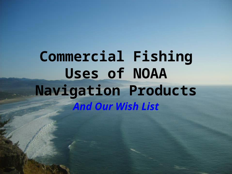
Commercial Fishing Uses of NOAA Navigation Products
And Our Wish List
HSRP?
• Hot Standby Router Protocol (HSRP) is a Cisco proprietary redundancy protocol for establishing a fault-tolerant default gateway, and has been described in detail in RFC 2281
Oregon Fishermen’s Cable Committee, Inc.
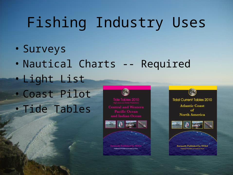
Fishing Industry Uses
• Surveys
• Nautical Charts -- Required
• Light List
• Coast Pilot
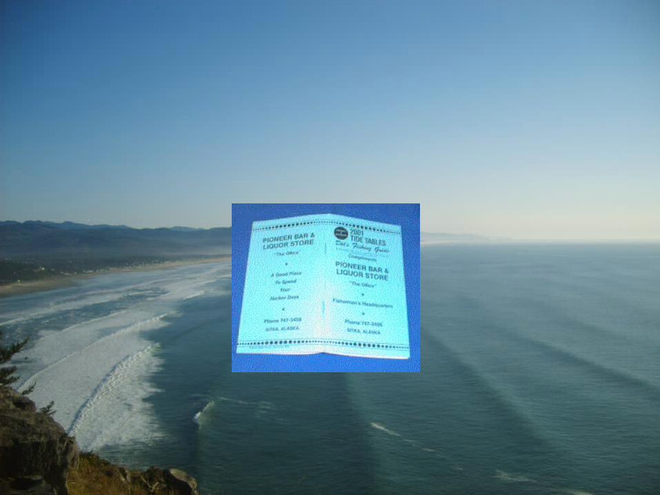
• Tide Tables
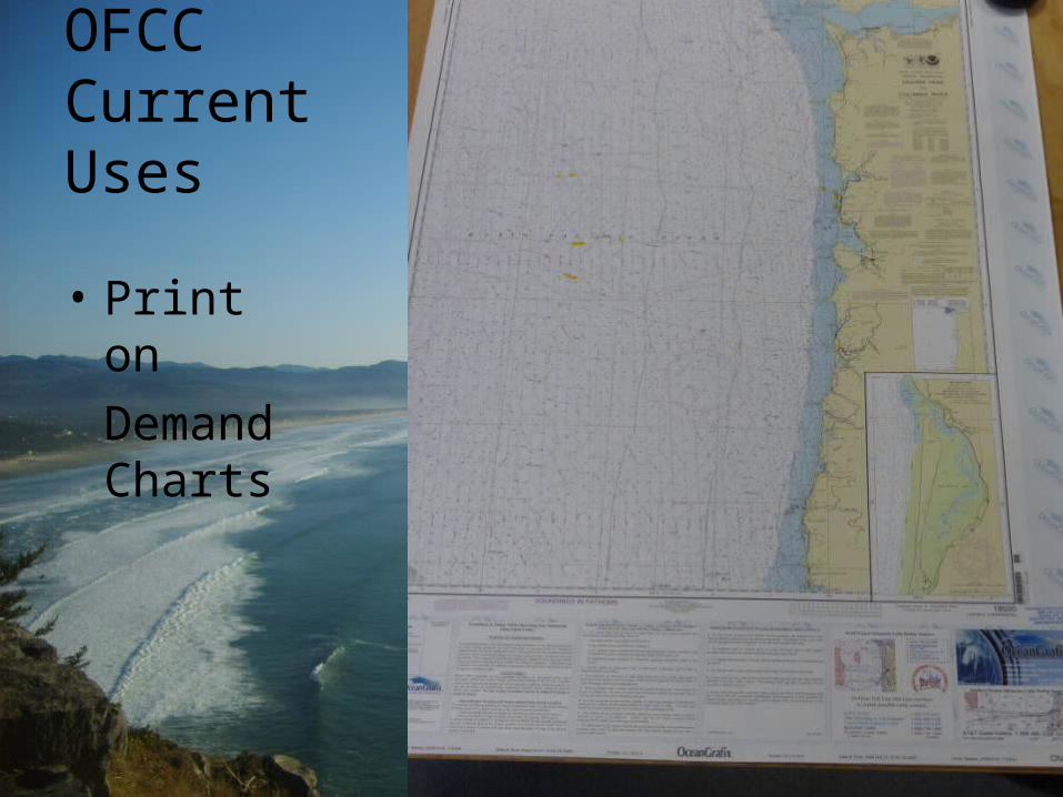
OFCC Current Uses
• Print on
Demand Charts
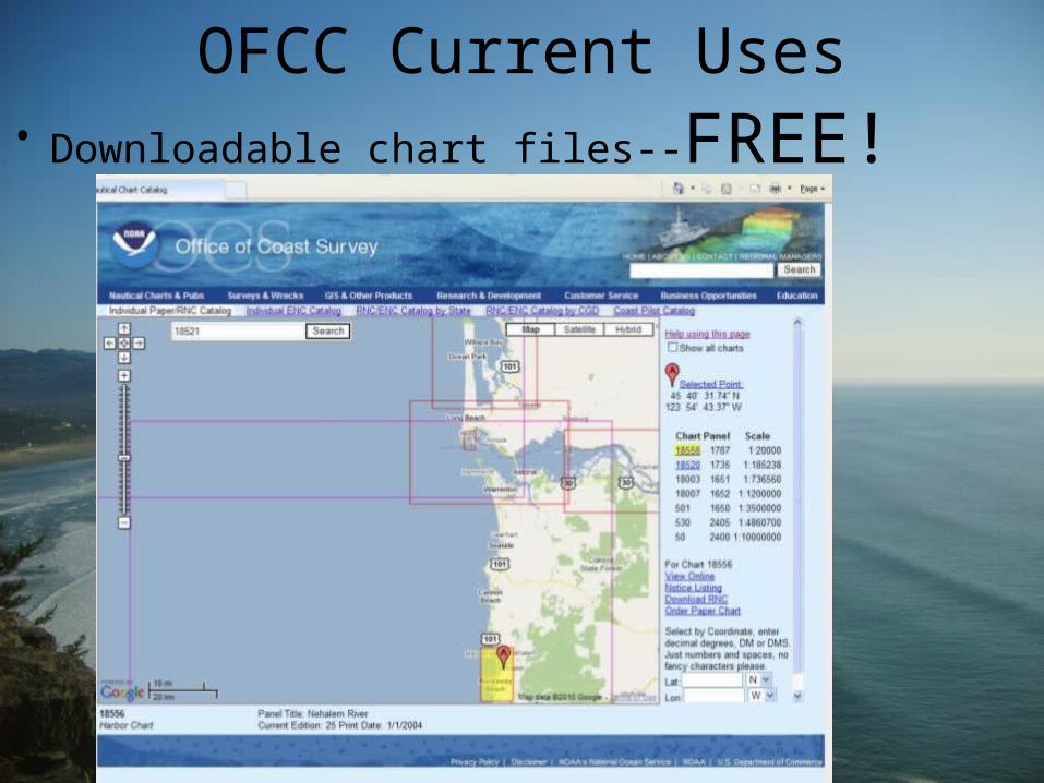
OFCC Current Uses• Downloadable chart files--FREE!
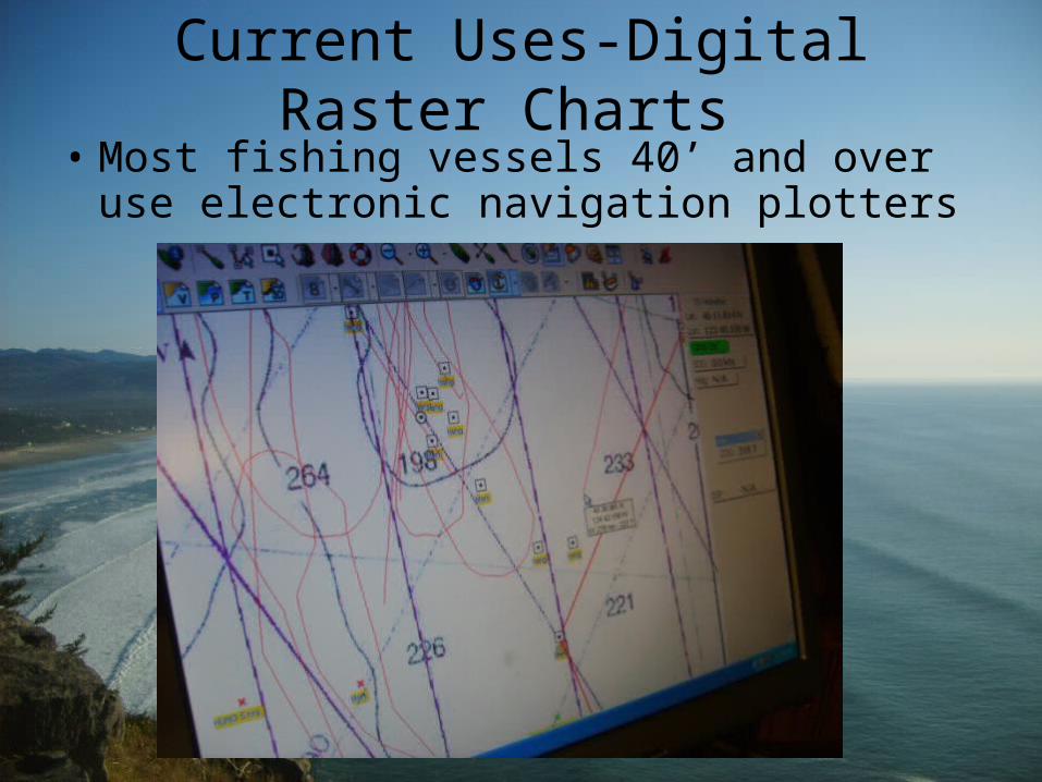
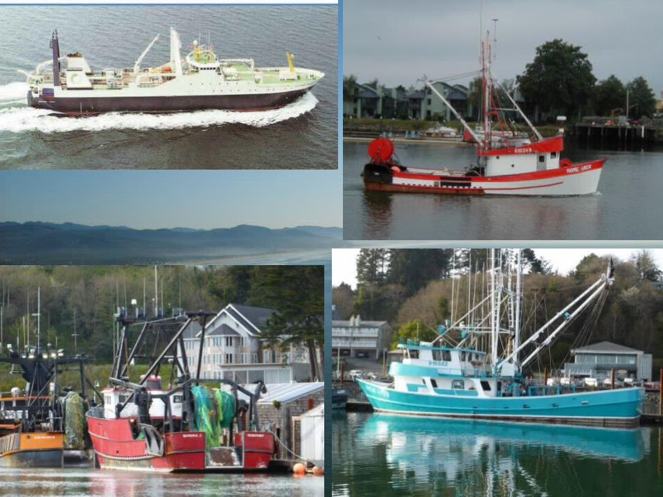
Current Uses-Digital Raster Charts • Most fishing vessels 40’ and over use
electronic navigation plotters
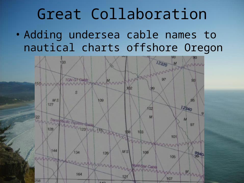
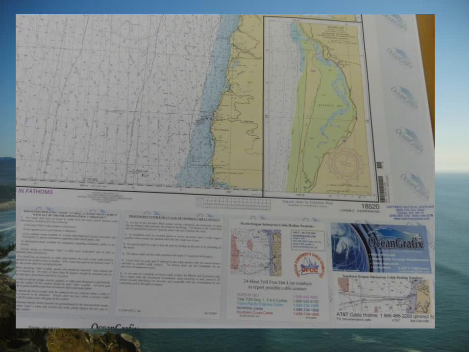
Great Collaboration• Adding undersea cable names to nautical
charts offshore Oregon
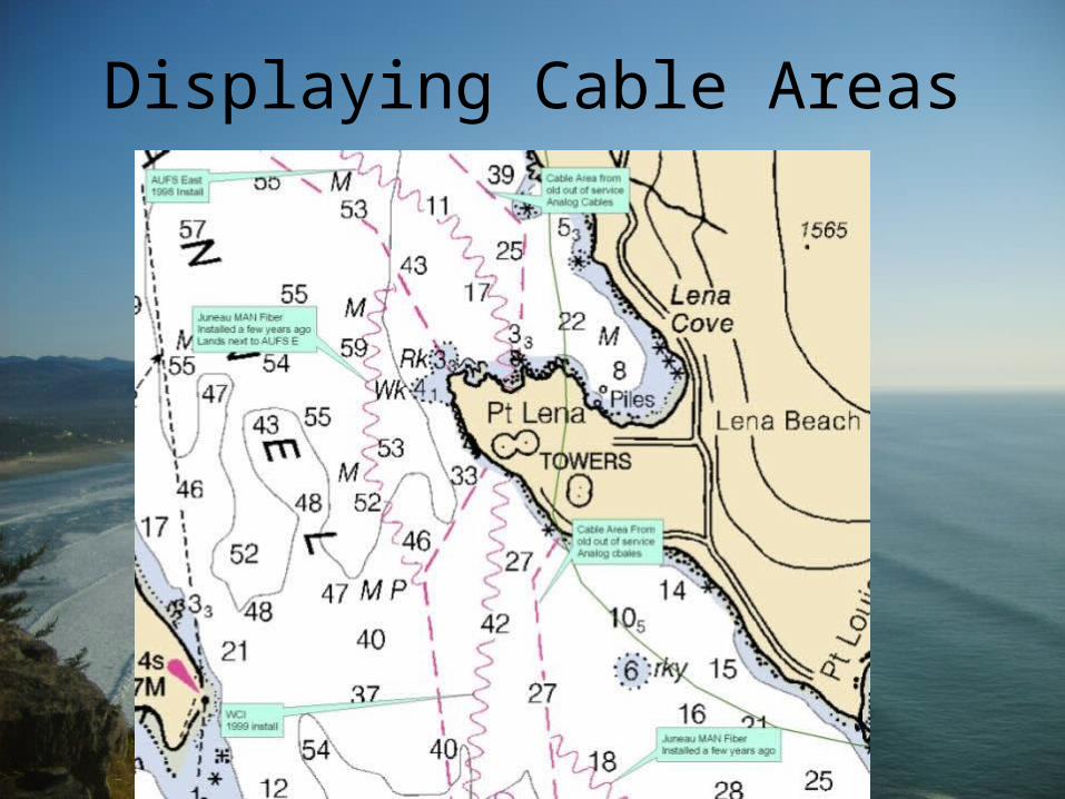
Displaying Cable Areas
Wish list
• Email notification on when charts are updated.
• Digital Raster charts on CD, Floppy Disc and Thumbdrive available at paper chart outlets
• Chart update kiosk in Marine supplies
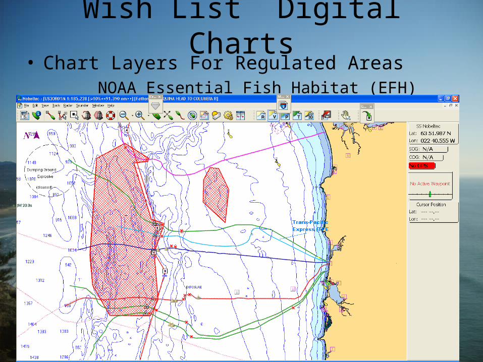
Wish List Digital Charts• Chart Layers For Regulated Areas
NOAA Essential Fish Habitat (EFH)
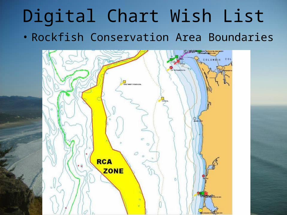
Digital Chart Wish List• Rockfish Conservation Area Boundaries

Additional chart layers such as:• High Resolution Bathymetry where it is available
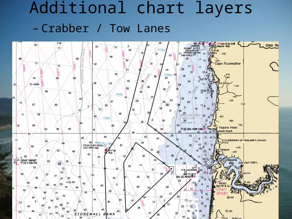
Additional chart layers – Crabber / Tow Lanes
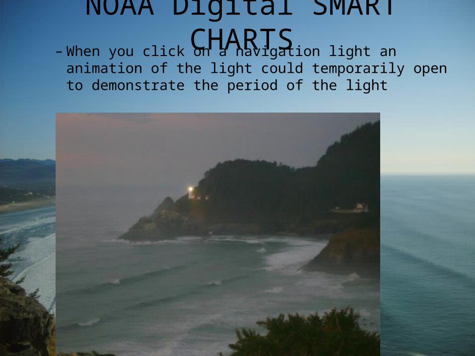
NOAA Digital SMART CHARTS– When you click on a navigation light an
animation of the light could temporarily open to demonstrate the period of the light
NOAA Digital SMART CHARTS
• When you click on an icon on in a harbor…

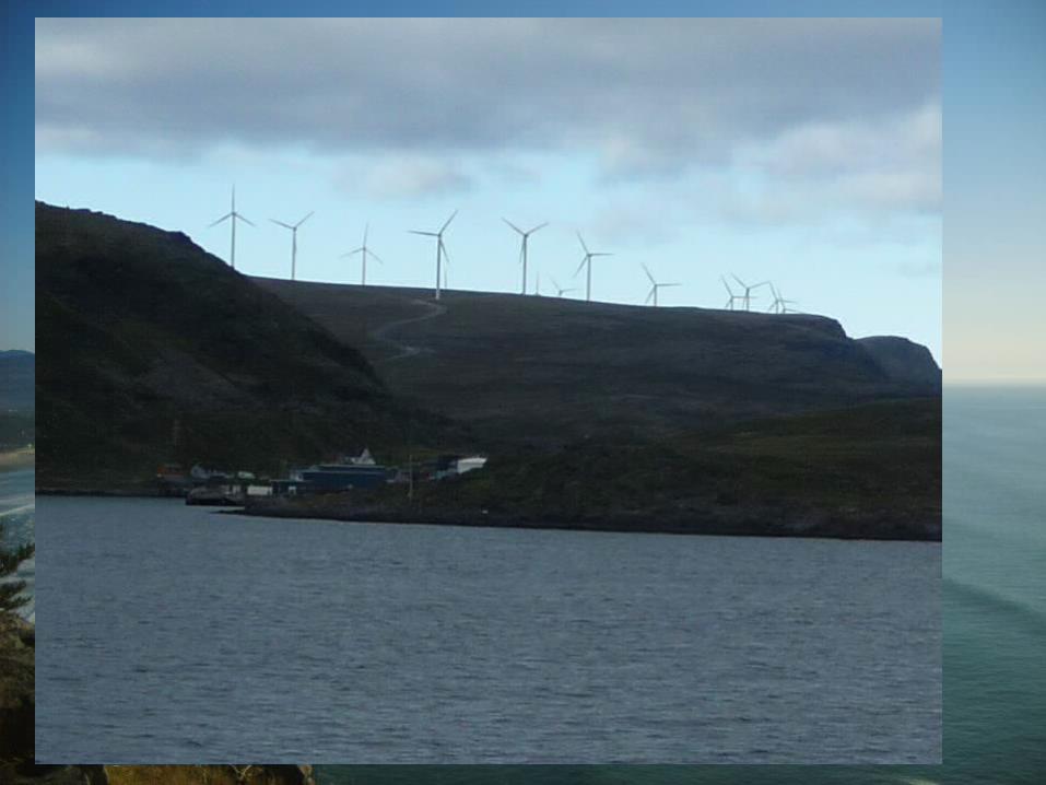
NOAA Digital SMART CHARTS
When you click on charted towers…
A Bit Further Into the Future…
• “Smart” electronic charts– When you “click” on a sounding, you would be
able to get data from this location to see how the depth fluctuates at this site.
– Layers of additional data that could be turned on…for example bottom composition
SMART CHARTS
– When you click on a bottom type notation • Material—i.e. sand, green mud, rock• More details; shear strength of mud, the nature of
the rock• Color photograph • Depth of that strata, layers observed, other
historical samples observed at this site• 3D representation of the chart could be toggled
on/off
Even SMARTER CHARTS…REAL TIME CHARTS
(Internet connection required)
– Harbor charts could even use the “street view” technology of Google Earth© to show the view the mariner would see if he were cruising up the channel. You could even allow a night view version of the “channel view” showing the mariner what he might see during a nighttime passage.
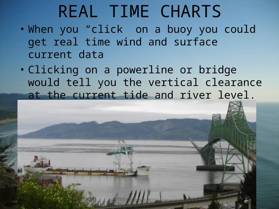
REAL TIME CHARTS• When you “click” on a buoy you could get
real time wind and surface current data
• Clicking on a powerline or bridge would tell you the vertical clearance at the current tide and river level.
REAL TIME CHARTS
• Breaking Wave Models could be turned on from a pull down menu
• Live buoy reports with swell, wind, current info could be accessed with a click of your mouse
• Real time river water levels
• “Web Cam” view from buoys
Summary
• Lots of data is already out there• Trend is to provide more real time info i.e.
Load Max• Mariners want the info overlaid on NOAA
charts• Full time internet connectivity is rapidly
coming to vessels, and computers are becoming more capable of handling and displaying vast amounts of data

NOAA’s task for the future…
STITCH IT ALL TOGETHER