CONTINENTAL divergence Ocean- Continent Convergence Ocean Divergence Ocean-Ocean Convergence.
date post
21-Dec-2015Category
view
214download
0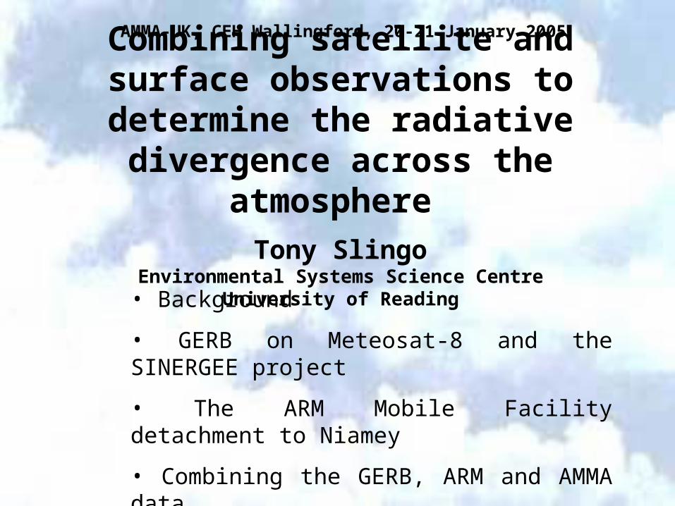
Combining satellite and surface observations to determine the radiative
divergence across the atmosphere Tony Slingo
Environmental Systems Science CentreUniversity of Reading
• Background
• GERB on Meteosat-8 and the SINERGEE project
• The ARM Mobile Facility detachment to Niamey
• Combining the GERB, ARM and AMMA data
AMMA-UK, CEH Wallingford, 20-21 January 2005


One motivation for our work is the large uncertainty in some of these radiative fluxes
• For example, in this diagram, the absorption of solar radiation in the atmosphere is 67 Wm-2, or 20% of the incoming flux from the sun
• Most of this absorption comes from water vapour and ozone, with a small contribution from clouds
• But some estimates are as high as 92 Wm-2 and require a significant contribution from aerosols (wind-blown dust, combustion products) and cloud absorption which is several times that predicted by current models
• We therefore need better observations of all of these fluxes, to improve our understanding of radiative processes and to develop better models

Meteosat Second Generation
the latest operational European weather
satellite, the first of which was launched in August 2002 as
Meteosat 8
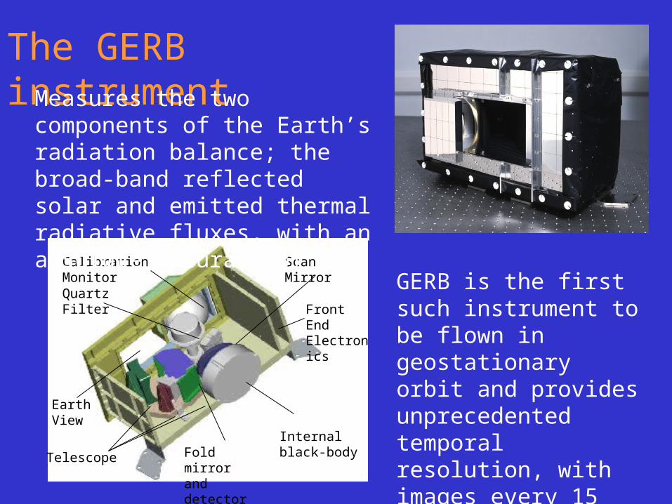
Internal black-body
Front End Electronics
Scan Mirror
Telescope
Calibration Monitor
Quartz Filter
Earth View
Fold mirror and detector
The GERB instrument
GERB is the first such instrument to be flown in geostationary orbit and provides unprecedented temporal resolution, with images every 15 minutes
Measures the two components of the Earth’s radiation balance; the broad-band reflected solar and emitted thermal radiative fluxes, with an absolute accuracy of 1%

Overview of SINERGEE project• We obtain GERB data in “near-real time”
– usually, well within 24 hours of data acquisition
• We obtain simulations for the same time performed by the Met Office, from 6-hourly NWP model analyses– 0000, 0600, 1200 and 1800 UTC
• Results displayed on the SINERGEE web page;– www.nerc-essc.ac.uk/~rpa/GERB/gerb.html
• Objectives– evaluation of NWP model, validation of GERB and various
other science applications

Recent comparison
15 November 2004
1200 UTOLR
ALBEDO
GERB NWP model
Model cloud errors can easily be distinguished. Near-real time comparisons are valuable for a wide range of other studies (e.g. outbreaks of Saharan dust)
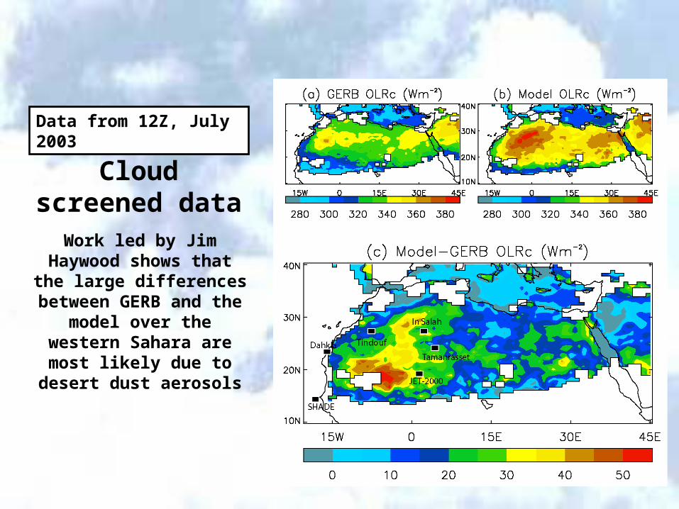
Cloud screened data
Work led by Jim Haywood shows that the large
differences between GERB and the model over the
western Sahara are most likely due to desert dust
aerosols
Data from 12Z, July 2003
Combining the GERB data with surface sites to obtain the atmospheric radiative divergence
• GERB provides the first measurements of the top of atmosphere radiation balance with the excellent temporal sampling required to make progress in estimating the radiative divergence across the atmosphere
• SINERGEE provides a framework for comparing GERB data with models
• We need complementary data at the surface• The most comprehensive surface radiation data come from
the Atmospheric Radiation Measurement program (ARM)• Peter Henderson (PhD student) has been comparing
surface radiative fluxes from the Met Office NWP model with data from ARM

Comparisons with data from ARM:Atmospheric Radiation Measurement program.

A small sample of the wide range of active and passive instruments available at the ARM sites
94GHz cloud profiling radar
Fourier transform spectrometer
Raman Lidar (water vapour)
Radio acoustic sounding system

SGP
April 2003
Darwin
May 2003
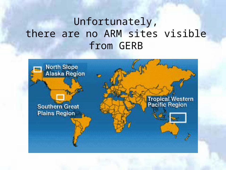
Unfortunately,there are no ARM sites visible from GERB
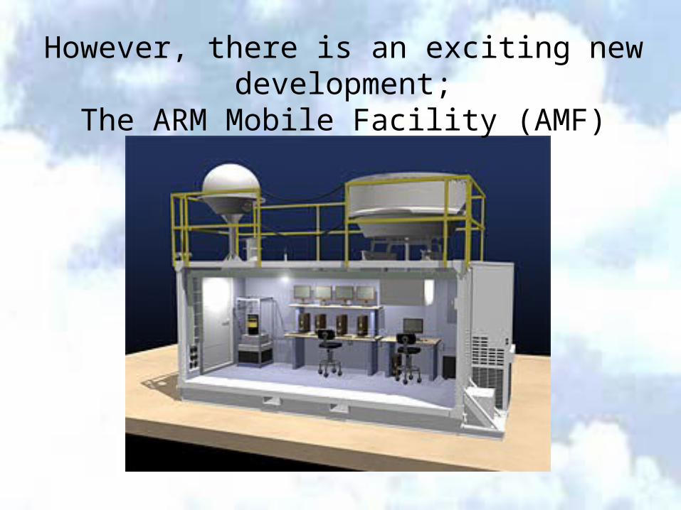
However, there is an exciting new development;The ARM Mobile Facility (AMF)
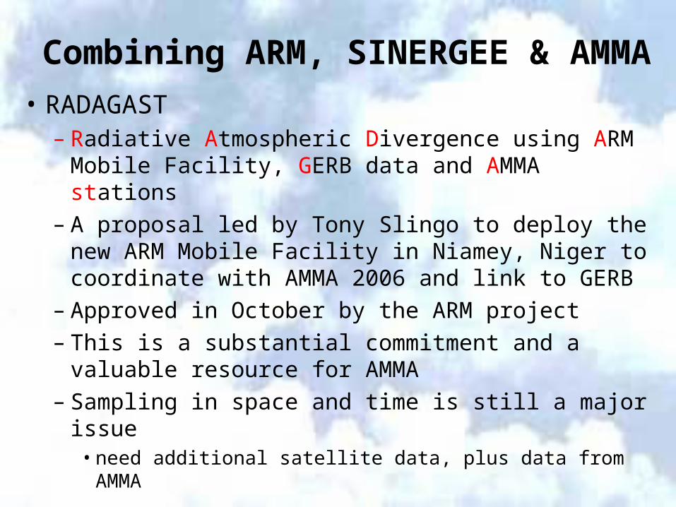
Combining ARM, SINERGEE & AMMA
• RADAGAST– Radiative Atmospheric Divergence using ARM
Mobile Facility, GERB data and AMMA stations– A proposal led by Tony Slingo to deploy the new
ARM Mobile Facility in Niamey, Niger to coordinate with AMMA 2006 and link to GERB
– Approved in October by the ARM project– This is a substantial commitment and a valuable
resource for AMMA– Sampling in space and time is still a major issue
• need additional satellite data, plus data from AMMA