CLGE updates and news 2016-2018 - EuroGeographics
15
26.04.2018 EuroGeographics PosKEN workshop Brussels CLGE updates and news 2016-2018 Mairolt Kakko CLGE Vice-President
Transcript of CLGE updates and news 2016-2018 - EuroGeographics
26.04.2018 EuroGeographics PosKEN workshop
Brussels
CLGE updates and news
2016-2018
Mairolt Kakko
CLGE Vice-President

CLGE: Leading Surveyors Association
• 39 Member countries
• + 2 Observing members
• Last member: Ukraine
• 28 EU Members States
• >> 100.000 Surveyors
• Close cooperation with
– FIG + YSEN, NSPS, World Bank
– EuroGeographics, GSA,
– EULIS, PCC, CEPLIS
– EuroSDR, IESC
– National Associations

• Our Mission is to represent and promote the interests of
the geodetic surveying profession in the private and
public sector in Europe, especially:
• The creation of permanent forum for European geodetic
surveyors, who are committed to European co-
operation.
• The promotion and exchange of technical, scientific,
educational and organizational know-how with the
European states.
• Provision of assistance to member countries, to national
associations and EU institutions on request.
CLGE: Leading Surveyors Association

Projects from last Year• Blueparking.eu
• EUREAL -> IPMS -> ILMS
• CLGE Student Contest, awarding ceremony’s atIntergeo (2016 Hamburg, 2017 Berlin, 2018 Frankfurta.M.)
• The Global Surveyors Day Celebration (21.03.2018,Washington DC with World Bank)
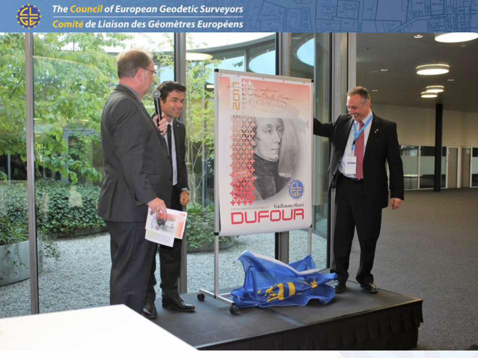
• Surveyor of the Year
• 2016: Ruder Boškovic
• 2017: Guillaume-Henry Dufour
• 2018: Carl Ritter von Ghega• 2019: Loránd Eötvöš

CLGE GA Pristina, Kosovo, 19-21.04.2018
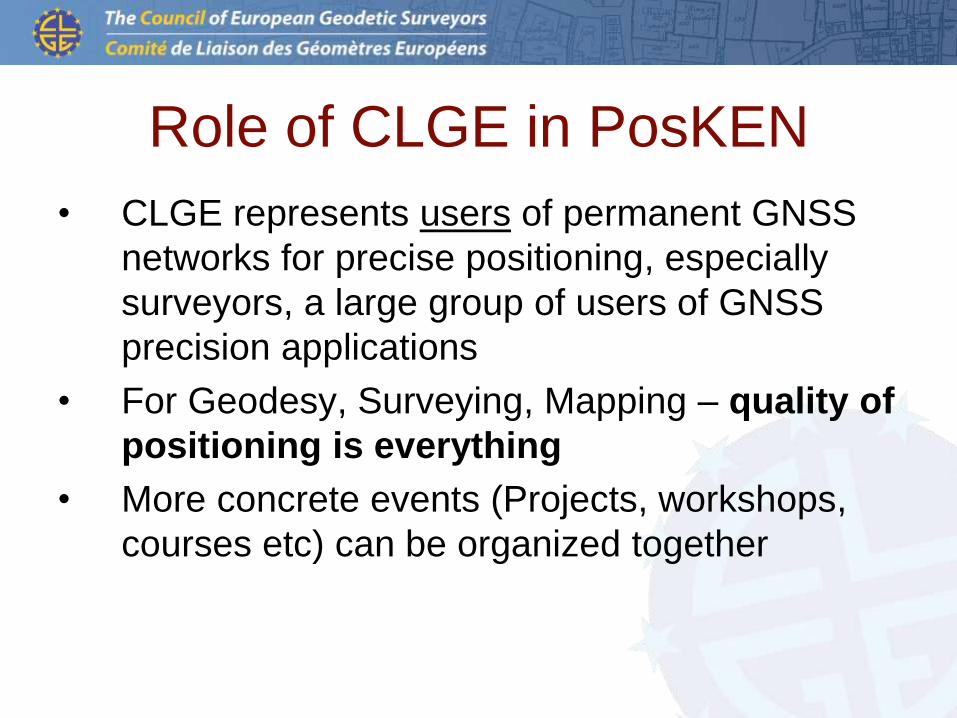
Role of CLGE in PosKEN
• CLGE represents users of permanent GNSS
networks for precise positioning, especially
surveyors, a large group of users of GNSS
precision applications
• For Geodesy, Surveying, Mapping – quality of
positioning is everything
• More concrete events (Projects, workshops,
courses etc) can be organized together

Past workshops about positioning
• GSA – Galileo Best Practices, CLGE GA Lausanne, April
2017
• Chaired by GSA (Michal Babacek, Alina Hriscu)
• Thematic presentations by
• Mattias Eriksson, SWEPOS
• Hugo Toll, Geosoft, Estonia
• Both have performed tests with and without Galileo signals
and gained increase of accuracy and reliability of the
results, specially in difficult areas.
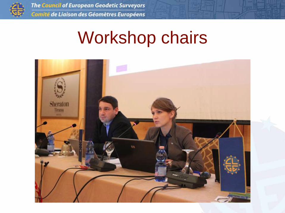
Workshop chairs
Past workshops about positioning
• Workshop on the surveyor of the future, CLGE GA
Lausanne, April 2017
• (Leica new Technologies - Mobile mapping, scan to BIM,
SLAM, etc), Chaired by Leica
• Everything goes robotic
• Everything goes to the office (remote sensing)
• Everything goes to simple and fast data capture
Next big opportunities are underground and underwater
What’s role of the Surveyor?
Don’t forget about the positioning!!!

Past workshops about positioning
• Workshop on the changing role of the surveyor,
CLGE GA Potsdam, Sept 2017
• Chaired by Steven Cairns, Leica UK.
• Who is Surveyor? Data collector or data manager?
• BIM, robots and remote operations on the construction
site
Technology is replacing people, if they are not ready for
changes.
Don’t forget about the positioning!!!

Participation in 1st Galileo User Assembly:
• Torben Juulsager (DK) and Hugo Toll (EST)
participated
CLGE Student Contest 2018
• Deadline of submitting the Papers 10.08.2018
• 5 categories, winning price EUR 1000 each + free
entrance and travel to Intergeo:
– Geodesy, Topograpgy (Leica)
– GIS Mapping (Esri)
– Cadastre, Property Surveying (IG-Parls)
– Galileo, Egnos, Copernicus (GSA
– Youth Engagement (CLGE)
• Contest announcement and regulations on CLGE
Webpage


Thank You for Your attention!
Mairolt Kakko, CLGE