CIVIL Desgi n 10 - BricsCAD · and HEC RAS (catchment basin ... You will be Productive from the...
4
Designing by drawing 10 CIVIL Design
Transcript of CIVIL Desgi n 10 - BricsCAD · and HEC RAS (catchment basin ... You will be Productive from the...

Designing by drawing
10CIVIL Design
DepliantDigicorp_CD10_eng.indd 1 16/04/15 22:19
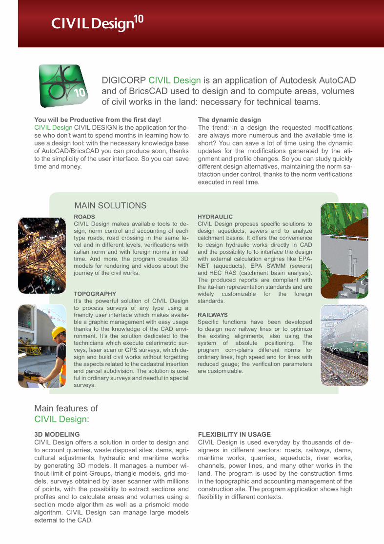
ROADSCIVIL Design makes available tools to de-sign, norm control and accounting of each type roads, road crossing in the same le-vel and in different levels, verifications with italian norm and with foreign norms in real time. And more, the program creates 3D models for rendering and videos about the journey of the civil works.
TOPOGRAPHY It’s the powerful solution of CIVIL Design to process surveys of any type using a friendly user interface which makes availa-ble a graphic management with easy usage thanks to the knowledge of the CAD envi-ronment. It’s the solution dedicated to the technicians which execute celerimetric sur-veys, laser scan or GPS surveys, which de-sign and build civil works without forgetting the aspects related to the cadastral insertion and parcel subdivision. The solution is use-ful in ordinary surveys and needful in special surveys.
HYDRAULICCIVIL Design proposes specific solutions to design aqueducts, sewers and to analyze catchment basins. It offers the convenience to design hydraulic works directly in CAD and the possibility to to interface the design with external calculation engines like EPA-NET (aqueducts), EPA SWMM (sewers) and HEC RAS (catchment basin analysis). The produced reports are compliant with the ita-lian representation standards and are widely customizable for the foreign standards.
RAILWAYSSpecific functions have been developed to design new railway lines or to optimize the existing alignments, also using the system of absolute positioning. The program com-plains different norms for ordinary lines, high speed and for lines with reduced gauge; the verification parameters are customizable.
MAIN SOLUTIONS
3D MODELINGCIVIL Design offers a solution in order to design and to account quarries, waste disposal sites, dams, agri-cultural adjustments, hydraulic and maritime works by generating 3D models. It manages a number wi-thout limit of point Groups, triangle models, grid mo-dels, surveys obtained by laser scanner with millions of points, with the possibility to extract sections and profiles and to calculate areas and volumes using a section mode algorithm as well as a prismoid mode algorithm. CIVIL Design can manage large models external to the CAD.
FLEXIBILITY IN USAGECIVIL Design is used everyday by thousands of de-signers in different sectors: roads, railways, dams, maritime works, quarries, aqueducts, river works, channels, power lines, and many other works in the land. The program is used by the construction firms in the topographic and accounting management of the construction site. The program application shows high flexibility in different contexts.
You will be Productive from the first day!CIVIL Design CIVIL DESIGN is the application for tho-se who don’t want to spend months in learning how to use a design tool: with the necessary knowledge base of AutoCAD/BricsCAD you can produce soon, thanks to the simplicity of the user interface. So you can save time and money.
The dynamic designThe trend: in a design the requested modifications are always more numerous and the available time is short? You can save a lot of time using the dynamic updates for the modifications generated by the ali-gnment and profile changes. So you can study quickly different design alternatives, maintaining the norm sa-tifaction under control, thanks to the norm verifications executed in real time.
10CIVIL Design
Main features ofCIVIL Design:
DIGICORP CIVIL Design is an application of Autodesk AutoCAD and of BricsCAD used to design and to compute areas, volumes of civil works in the land: necessary for technical teams.
DepliantDigicorp_CD10_eng.indd 2 16/04/15 22:19

SIMPLY DWGEvery design created by CIVIL Design is saved in a dwg file. Wi-thout external files the designer can check his work more easily. The program uses only CAD entities like lines, polylines, 3D faces… and sto-res the design data (norm verifica-tions, computations, etc.) inside the dwg file.
DATA EXCHANGEImport or export alignments, profi-les and sections among different applications is easy because CIVIL Design uses the exchange format LandXML.
THE CUSTOMERSThe program is used by the more important design firms in Italy for civil works of every dimension and importance with the assurance to obtain always optimal results.
NOT ONLY SOFTWARE: CONSULTING SERVICEDIGICORP Ingegneria not only produces CIVIL Design, but it can furnish a consulting service with its tried team of engineers. In detail its know how includes the road norms, topographic problems, surveys, railway design, maritime and hydraulic works.
The demonstrative, complete and free version of CIVIL Design is available on our site www.digicorpingegneria.com
You need only to register yourself and then you can obtain the application.
For teachers and students it’s available an educational version by which you can develop exercises, thesis, etc.
ALIGNMENTS:
• New functions to edit the alignment;
• Erase, Add, Aggregate base elements directly in the alignment editor;
• Split, Join and Invert alignment directly on the drawing;
• Added new road norms: ICTAAL and AASHTO.
NEW FEATURES OF CIVIL DESIGN 10:
HYDRAULIC:
SEWERSHydraulic verification of road crosses with SETRA method
WATERSHEDS• New functions to export/import in Hec Ras;
• Verification of storages.
LASER SCAN:
• Elevation analysis and creation of elevation curves;
• New imported formats as E57 and ASC;
• Conversion from 3D face models to Point Cloud models and vice versa;
• Design with DTM external to the drawing dwg
• New management to define gradings and benches continuously changing with dependency on chainage.
• Parametric rules: added new variables for slope in cut and fill.
• CUSTOM Variable definition with dependency on chainage
3D DESIGN:
SURVEY:
• New functions to compare different surveys of the same object, executed in different times.
• Monitoring sections in tunnel
RASTER:
Import of satellite images with external georeference file.
CARTOGRAPHY:
• Free definition of cartographic systems;
• Cartographic conversion of CAD drawings;
• Direct and optimized conversion of alignments and profiles defined in CIVIL Design.
DepliantDigicorp_CD10_eng.indd 3 16/04/15 22:19

Via Duino, 1/1 – I-33100 Udine (UD) Italy Phone +39 0432 511556 Fax +39 0432 511592
SYSTEM REQUIREMENTS:
AutoCAD® 2010 >> 2016 and vertical products (Civil 3D, Map 3D, Architecture). The requirements are those required in the AutoCAD installation.BricsCAD® 14 e 15 (Platinum e Pro) on operating systems Windows 7, 8, 8.1 all with 64 bit architecture. The requirements are those required by the BricsCAD 64 bit installation on Win-dows 7, 8, 8.1.
COURSES AND CONSULTING:
DIGICORP Ingegneria Srl supplies also training services and technical consulting relative to the design of civil works in the land. In detail we organize classroom courses and on line courses. More informations are available on www.digicorpin-gegneria.com.
TECHNICAL ASSISTANCE SERVICE:Signing the assistance and maintenance contract you can have the telephonic support from Monday to Thursday (time: 10.00 – 13.00 and 16.00 – 18.00) and Friday (time: 10.00 – 13.00)The assistance contract for CIVIL Design includes the main-tenance, i.e. you receive free the new releases of the program published in the twelve months where the contract is valid.
Features• Free assistance in the first 6 months for new customers;
• The contract has the one year period;
• The contract is not mandatory;
• The contract is possible only on the last release
• The amount of the assistance contract depends on the com-mercial value of the purchased solutions.
DIGICORP CIVIL Design has a commercial composition with different solutions:
COMPLETE SOLUTIONS
RASTER: mosaicking, georeference, perspectic ali-gnment and straightening in raster and vector ima-ges. Erase lines, polylines, polygons on the raster, vector image projection on the raster.
TOPOGRAPHY: Solution to solve completely topo-graphic surveys from every type and dimension (ce-lerimetric, cadastral, levelings, GPS, …).
ROADS AND RAILWAYS: The 3D design and ac-counting for roads and railways, complete norm ve-rifications, intersections, interchanges, channels, levees, corridors.
QUARRIES AND DUMPS: Design and accounting of quarries, dumps, dams, hydraulic and maritime wor-ks. Powerful functions in order to obtain 3D design and to estimate the works.
CIVIL WORKS: it’s the union of the solution Roads and Railways with the solution Quarries and Dumps. Complete solution to design and estimate generic ci-vil works.
EDUCATIONAL: It is focused to the didactic activity developed in high schools and universities.
AQUEDUCTS: It represents in plain the distribution network with closed or open mesh and it can compute hydraulic verifications. Import/export with EPANET.
WATERSHEDS: It computes the important coeffi-cients of watersheds. It executes statistic analysis of the rainfall. It calculates the river flows. Import/export with HEC RAS.
SEWERS: It designs and checks sewer networks and not in pressure networks: checks on rain water and waste water, design of tangents in profile, automatic computations, import/export with EPA-SWMM.
ROAD SIGNS: complete catalog of vertical and hori-zontal road signs compliant to the traffic laws. It can compose notice panels. Automatic computation of the vertical inserted road signs.
REDUCED SOLUTIONS
Limitation: one alignment per DWG.
SURF – QUICK QUARRIES: It can create 3D models from point groups or numeric cartography and can compute profiles, sections, cut and fill.
QUICK ROADS: solution to design linear works like channels, river works, aqueducts, sewers and roads. It includes the norm verifications (speed diagram, ali-gnment geometry, sight distance diagram…)
PARTIAL SOLUTIONS
PROFILES: it contains the functions to calculate and draw different types of profile, useful to design aque-ducts, sewers.
CROSS SECTIONS WITH AREA AND VOLUME CALCULATIONS: it contains all the functions to com-pute, draw, labeling of areas and volumes, as well as the state of executed works.
ADD-ON SOLUTIONS
RAIL CONTROL: it is focused to the railway design and to the control of the railway track on an absolute base.
POINT CLOUD: It manages surveys with million of points from laser scanner, bathymetric surveys.
MONITOR: It controls more surveys of the same object executed in different times with generic com-pare function or convergence in comparison of tunnel sections.
TUNNEL: it contains the Point Cloud Commands and more functions about the georeference of point clouds and the computing of Clearance in tunnel.
BARRIERS: it’s specialized to the design and compu-ting of road safety barriers in the alignments.
You can purchase our programs online by visiting the web site:www.civilmarketplace.eu/
DepliantDigicorp_CD10_eng.indd 4 16/04/15 22:19