Challenges and opportunities surveying the UK’s remote Overseas Territories
21
Challenges and opportunities surveying the UK’s remote Overseas Territories Shallow Survey 2015 Koen Vanstaen
-
Upload
koen-vanstaen -
Category
Science
-
view
112 -
download
0
Transcript of Challenges and opportunities surveying the UK’s remote Overseas Territories

Challenges and opportunities surveying the
UK’s remote Overseas Territories
Shallow Survey 2015
Koen Vanstaen


UKOT Hydrography
• Majority are island nations
• Hydrographic data of varying age
• Often no modern surveys and no survey
programmes
• No local capacity and capability

UKOT Biodiversity• Overseas Territories contain an estimated
90% of the UK’s biodiversity• Large parts of marine environment unexplored • Increasing human pressure threat to
biodiversity and people• Responsibility for environmental management
devolved to the UKOT governments
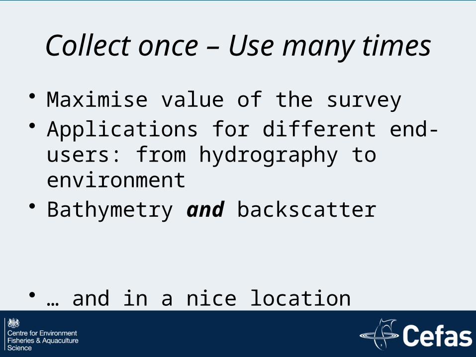
Collect once – Use many times• Maximise value of the survey• Applications for different end-users: from
hydrography to environment• Bathymetry and backscatter
• … and in a nice location

CHALLENGES


Challenge 1
Hydrography

Challenge 2
• Meeting all stakeholder requirements


Challenge 3
Backscatter
Bathymetry
Bathymetry & Backscatter


1
23
Challenge 4

1
23


Opportunities• Hydrographic surveys → Seabed surveys• Single-purpose to multi-purpose• Multiple stakeholder needs
• Economic growth with minimal environmental damage
• Hardware-data-software integration• Shallow Survey 2018 backscatter
challenge

Acknowledgements• Darwin Initiative: UK Government scheme to
protect biodiversity and the natural environment through locally based projects worldwide or Overseas Territories
• DPLUS026: British Virgin Islands Marine Protected Areas and Hydrographic Survey Capacity Building
• John Fraser and Pim Kuus - Reson UK – T20-P• QPS, Caris, Triton Imaging