Ch. 19 Rural Settlement Patterns Government says high number of immigrants will help economic...
29
Ch. 19 Rural Settlement Patterns Government says high number of immigrants will help economic re covery - The Globe an d Mail
-
Upload
sheena-mitchell -
Category
Documents
-
view
215 -
download
0
Transcript of Ch. 19 Rural Settlement Patterns Government says high number of immigrants will help economic...
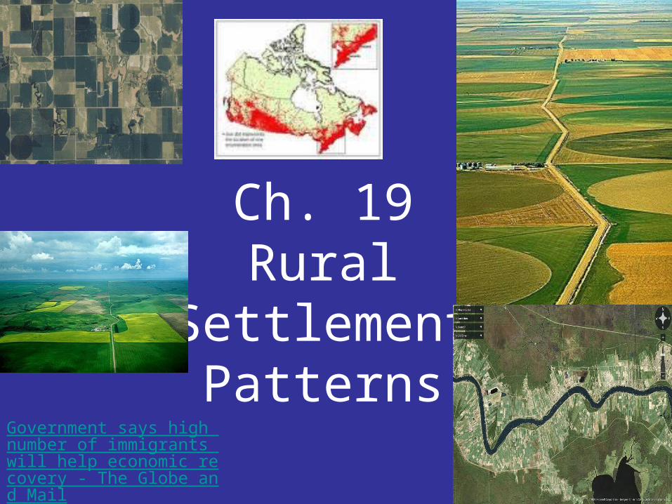
Ch. 19Rural
Settlement Patterns
Government says high number of immigrants will help economic recovery - The Globe and Mail

What factors influence rural settlement patterns?

3 factors impacting rural settlement patterns:
1. RESOURCES
– forestry, mining, recreation,
2. TRANSPORTATION
- water, rail, road
3. GOVERNMENT POLICY

LONG LOTS OF QUEBEC
•Attracted to the fertile soil of the area
•Transportation was by water – both summer and winter
•Everyone needed access, therefore, narrow lots
•After the river lots were settled, a second row was settled along a road parallel to the river
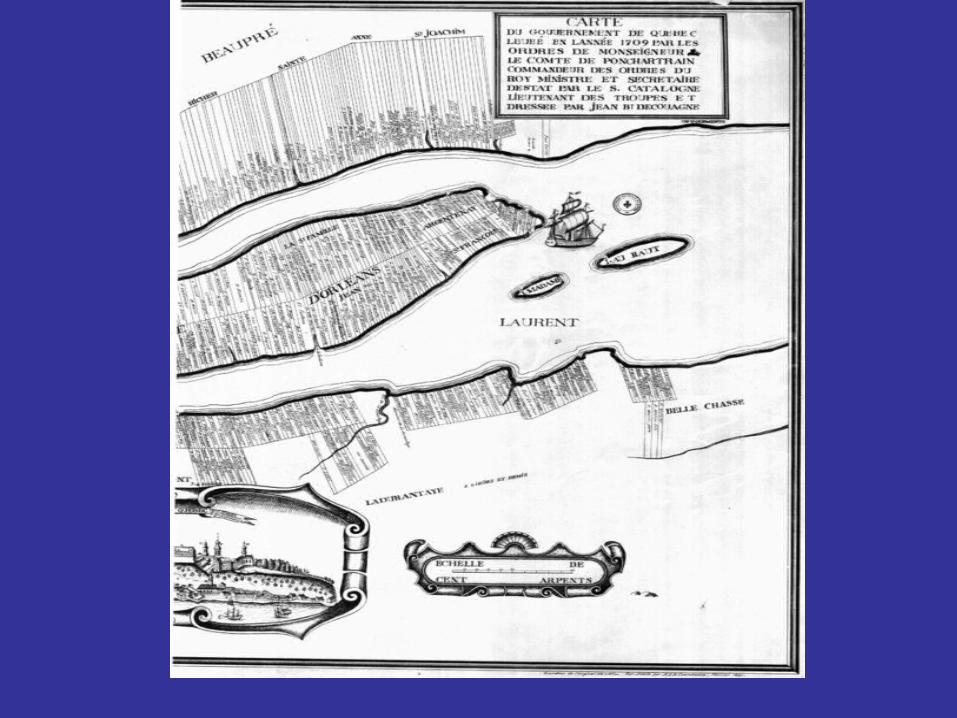

Long lot system of Southern Quebec

Land owners divided their land into narrow strips which they sold or rented to individual French settler families.
Wooded lot
Farm houses

Wooded areas located at the back of the lots
Houses in a linear pattern located at the front of the lot
Characteristics of the long lot system

American example Mississippi River
The French "long-lot" system, which granted river access to the greatest number of people, is clearly still visible today along the Mississippi River
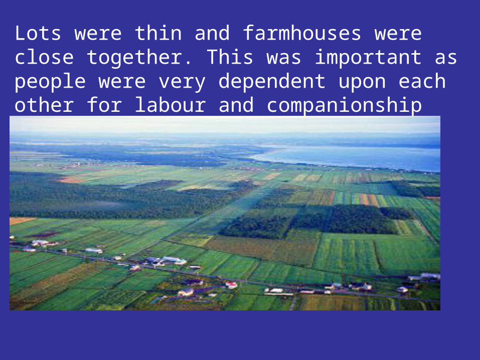
Lots were thin and farmhouses were close together. This was important as people were very dependent upon each other for labour and companionship during the long dark winters.

Villages grew up along the roads and tended to be linear with farm houses near the road and uncut sections of trees grouped together along the road near the back of the property.

Where is this?
(note the long lot pattern)
Island of Montreal

Southern Ontario
Concession System = land was surveyed into blocks

•Rich agricultural land
•Roads and later railways main transportation
•Settlement occurred after survey of land
•Concessions are areas of land enclosed by a grid pattern (Most of these survey lines are now major roads.)
Concession System

Concession roads 2 km apart
Concession roads are straight, and follow an approximately square grid, usually oriented to a local lakeshore.

•Why was there a different system in Ontario than Quebec?
Ontario was settled later than Quebec and the technology to build roads was much improved.
This system of survey and road building was supervised by Col. John Graves Simcoe.

Section system of the Prairies

1. The government was afraid U.S. might take over the Canadian west if there was no sign of occupation.
2. The population was growing in Ontario and there was a demand for more land.
3. The government wished to avoid the kind of land disputes that occurred in the U.S. when their west was settled (lawlessness, etc.).
Western Canada was surveyed before there was
any large scale settlement for three reasons:

•The government needed a fast, efficient system to settle the
west.
•The baseline was the 49th parallel and survey lines were
drawn on maps every 6 miles (10kms) parallel to the
baseline. These were called township lines.
•The enclosed squares, called townships, are 36 miles
square. These were subdivided into 36 one-square-mile
blocks called sections.
•Each section was subdivided into quarter-sections.
Section system of the Prairies
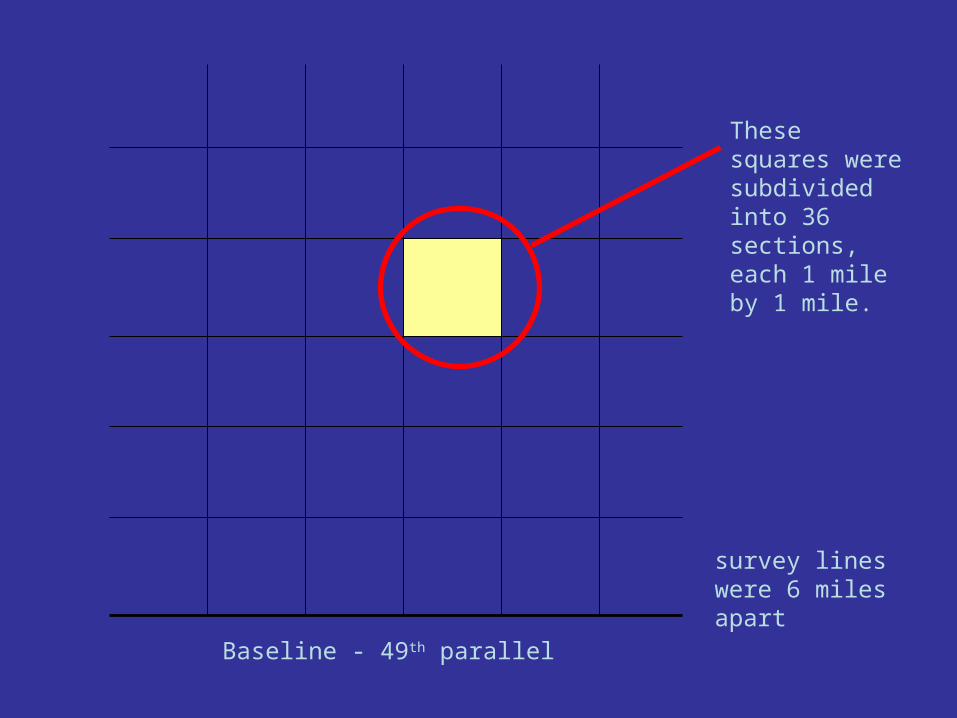
Baseline - 49th parallel
survey lines were 6 miles apart
These squares were subdivided into 36 sections, each 1 mile by 1 mile.
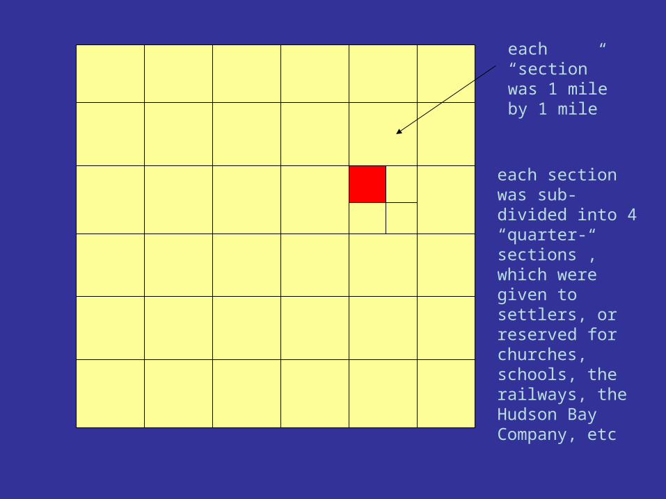
each “section” was 1 mile by 1 mile
each section was sub-divided into 4 “quarter-sections”, which were given to settlers, or reserved for churches, schools, the railways, the Hudson Bay Company, etc
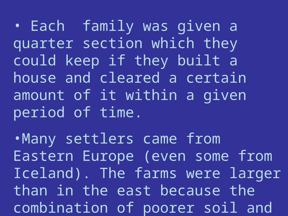
• Each family was given a quarter section which they could keep if they built a house and cleared a certain amount of it within a given period of time.
•Many settlers came from Eastern Europe (even some from Iceland). The farms were larger than in the east because the combination of poorer soil and climate conditions meant lower profits per hectare.

Grain elevators were constructed at regular intervals along
the rail lines (for farmers to bring their grain to)
and villages and towns grew around these locations.

On average, grain elevators tended to be 13 miles apart along the railway lines.

Resource-Based Settlements
• settlements grow at locations where there are natural resources and usually in areas where a survey had not taken place.
•Examples of resource-based settlements include fishing ports on coasts, mining and lumbering towns, hydroelectric sites, recreational spots, scientific and military communities, and transportation locations.

Sudbury
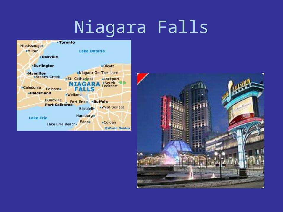
Niagara Falls

Service Based Settlements
A variety of services are needed by people who live in lightly populated areas.
Scattered settlement is found along major roads.
E.g. transportation, gas stations, motels, grocery store…

Activity
Complete the activity on page 232-233 and answer all questions. Due next class to be handed in.
Complete questions # 7, 8 page 233-34