Canyons and Arches or: Why erosion is cool Angela Stickle March 5, 2007 Geology of the Desert SW.
21
Canyons and Arches or: Why erosion is cool Angela Stickle March 5, 2007 Geology of the Desert SW
-
date post
21-Dec-2015 -
Category
Documents
-
view
218 -
download
0
Transcript of Canyons and Arches or: Why erosion is cool Angela Stickle March 5, 2007 Geology of the Desert SW.
Canyons and Arches
or: Why erosion is cool
Angela Stickle
March 5, 2007
Geology of the Desert SW

Canyons are cool Erosion when water runs through dry regions with
sedimentary rocks layers of varying resistance Formation due to natural tendency of rivers to
reach a base line elevation The larger the height difference between river and
inlet into draining body, the more energy it will expend = more erosion!
Energy expended in facilitating a speedy drop in elevation

Canyon Forming processes Stream Downcutting
Deepens the channel of a stream or valley
Removes material from bed or valley floor
How fast downcutting occurs depends on base level
Lateral Erosion Widens a stream channel or
valley Most dominant if stream level
is near the base level If Elevation > Base level
Downcutting > Lateral erosion
San Juan River, Utah

Canyon Forming processes Mass wasting
Aka: mass or slope movement
“geomorphic process by which soil, regolith and rock move downslope under gravity.”
Creep, slides, flows, etc

Canyon Formation Surface stripped by
running water Terraces formed in
rocks of varying resistance
Vertical erosion predominates and alternating cliffs are formed through downcutting
http://library.thinkquest.org/C005280/geoformation.htm

Zion sediment deposition Kaibab (Upper Permian),
limestone Moenkopi (lower triassic,
230 mya), mudstone, shales, siltstones
Chinle (upper Triassic), includes petrified woods etc
Moenave (Lower Jurassic), siltstone, mudstone, fine sandstone
Kayenta (Lower Jurassic), sand and siltstone

Zion sediment deposition Navajo (Low to Mid
Jurassic), sandstone Temple Cap (Middle
Jurassic), clay and silt Carmel (Middle
Jurassic), limestone Dakota (Lower
Cretaceous), sandstone

Zion and Kolob Canyons This area includes 9 known exposed
formations in Zion Represents 150 MY, mostly mesozoic
aged, sedimentation
Kolob Canyons from end of Kolob Canyons Road, showing red-orange Navajo Sandstone

Zion National Park Varying depositional environments:
Warm, shallow seas Streams and lakes Deserts and near shore environments
Uplift of the Colorado plateau exposed sediments to erosion
Much later, lava flows and cinder cones covered part of the Zion area

Zion National Park Elevated plateau with
sedimentary formations dipping gently east
Oldest strata exposed along the Virgin River
Youngest strata exposed in Kolob Canyons Canyons in Zion Nat’l Park
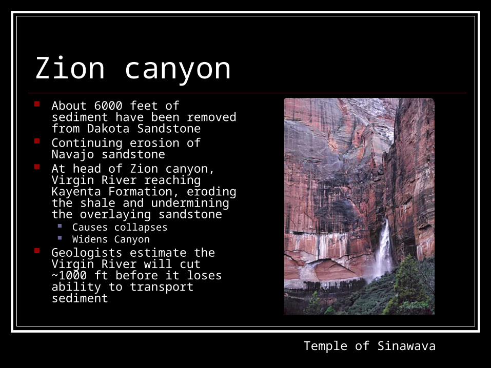
Zion canyon About 6000 feet of sediment have
been removed from Dakota Sandstone
Continuing erosion of Navajo sandstone
At head of Zion canyon, Virgin River reaching Kayenta Formation, eroding the shale and undermining the overlaying sandstone
Causes collapses Widens Canyon
Geologists estimate the Virgin River will cut ~1000 ft before it loses ability to transport sediment
Temple of Sinawava

Zion Canyons
Zion Canyon Canyon Overlook

Natural Arches “A rock exposure that has
a hole completely through it formed by the natural, selective removal of rock, leaving a relatively intact frame.” Must be made of exposed
rock! Actually have a hole… Hole formed from natural
removal of rock (typically erosion, but lava flow happens too..)
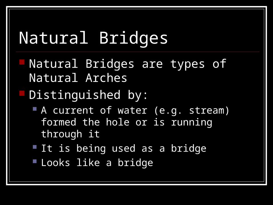
Natural Bridges Natural Bridges are types of Natural Arches Distinguished by:
A current of water (e.g. stream) formed the hole or is running through it
It is being used as a bridge Looks like a bridge
Several types Alcove Natural Arch Buttress Natural Arch Meander Natural Bridge Pothole Natural Arch Shelter Natural Arch Waterfall Natural Bridge

Alcove Natural Arch Occurs on or next to a
vertical cliff face Only forms where vertical
joint exists behind and parallel to face
Very common, relieves stress
Kolob Arch in Zion Eroded into Navajo
sandstone Span: 287’, second largest
in the world!

Meander Natural Bridge Associated with active
stream or streambed Opening in a semicircle
and the lintel is arched Wall collapse also
important feature (creates semi-circle aperture)
Rainbow Bridge Largest natural bridge in
the world Opening 246’ high Lake Powell, Utah

Lateral Stream Piracy Two water courses separated at a point by
a thin rock barrier Barrier must be breached!! Water of one stream is ‘stolen’ by the other Two occasions:
Neck of an incised meander Two tributaries running closely parallel

Capitol Reef Canyons

Capitol Reef Arches
Hickman Bridge, Capitol ReefMuley Twist Canyon, Capitol Reef

References www.wikipedia.org http://www-geoimages.berkeley.edu/Waterfalls/ZionCanyon/TempleSinawa
vaL.html http://www.zionparkmotel.com/images/zion-national-park.jpg http://www.terragalleria.com/images/np-plateau/zion0787.jpeg http://www.naturalarches.org/archinfo/faq.htm#whatis http://darkwing.uoregon.edu/~mobar/images/capreef.jpg http://www.americansouthwest.net/utah/photographs700/capvalley.jpg http://www.so-utah.com/archcany/arches/delicate.jpg http://www.travelwest.net/parks/zion/images/zion-canyon.jpg http://www.aztecdaytrips.com/images/rooftop.jpg http://www.computersforart.org/create/arch/big/computer_arch_07.jpg