Cadastral Survey & Title Registration in Victoria, …€¢ Royal Commission on Land Titles and...
26
Cadastral Survey & Title Registration in Victoria, Australia Prof. John Parker Surveyor General of Victoria (Retired) Land Administration Consultant
Transcript of Cadastral Survey & Title Registration in Victoria, …€¢ Royal Commission on Land Titles and...
Cadastral Survey & Title Registration in Victoria, Australia
Prof. John Parker Surveyor General of Victoria (Retired) Land Administration Consultant

1829 1836
1859
1851
1825 1841
NI 1856
SA 1863 Colonies removed
from NSW
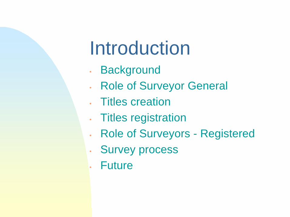
Introduction • Background • Role of Surveyor General • Titles creation • Titles registration • Role of Surveyors - Registered • Survey process • Future

Background • Development of the Victorian
Cadastral System • Settlement of Victoria • Introduction of Torrens System 1862 • Royal Commission on Land Titles and
Survey - 1892

Background • Land tenure categories
• Crown - Reserved – Unreserved – Leasehold
• Freehold - Private – Government
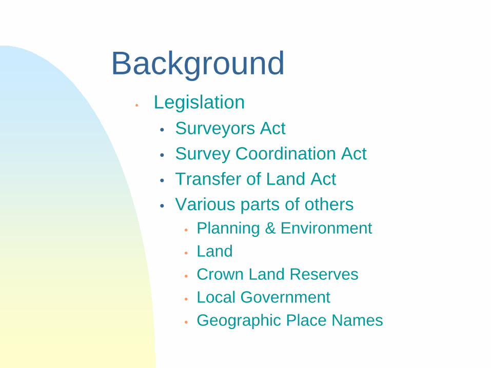
Background • Legislation
• Surveyors Act • Survey Coordination Act • Transfer of Land Act • Various parts of others
• Planning & Environment • Land • Crown Land Reserves • Local Government • Geographic Place Names
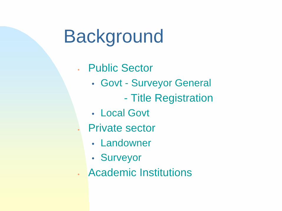
Background • Public Sector
• Govt - Surveyor General - Title Registration
• Local Govt • Private sector
• Landowner • Surveyor
• Academic Institutions

Role of the Surveyor General
• Alienation of Crown Land • Crown Grant prepared • records of all Crown surveys • the protector of Crown land • Chairs Surveyors registration body • Audits a random selection of all
cadastral surveys
Titles Creation • Crown Grants registered • Subdivisions • Consolidation • Applications - Adverse possession - Deeds to Title - etc. • No Titles exist for Crown land
• Leasehold
Title registration
• After creation added to register including any encumbrances or
rights • Mortgage, etc. • After each property sale, transfer is
lodged and new owner registered

Role of Surveyors
• Majority in private sector • Training • Registered by SBV • Has 2 clients - the land owner - the government • Maintains integrity of land tenure
system - supports economy - social infrastructure

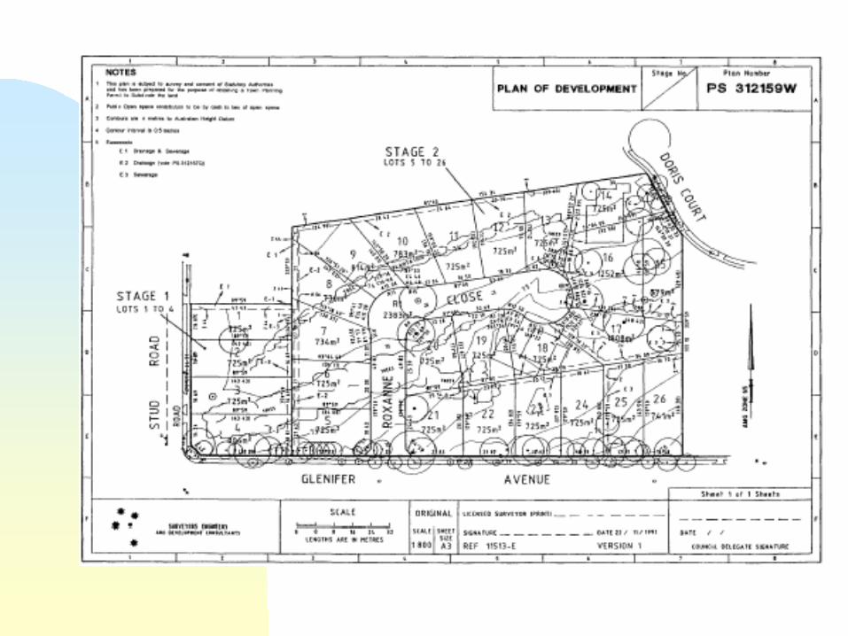
Survey process • Receives instructions • If a subdivision, usually requires a
planning permit • Details added to Vicmap • Searches for all relevant information
- C/T - control - plans and fieldnotes • Ensures equipment is standardised

Survey process (2)
• Fieldwork undertaken to reestablish boundaries
• Surveyor responsible for QA • Internal lots marked • Plans prepared, lodged with local
municipality for approval as to planning conditions
• Lodged with title registry with fieldnotes and report

Survey process (3)
• Random audits by SG • overview of reestablishment
principles (in past had been a detailed examination) and a paralegal examination
• plan approved • parcel structure confirmed on
Vicmap

Survey process (4)
• titles issue electronically • transfers lodged and approved
same day • if reestablishment of a single parcel,
record lodged with SG


Future

Next Steps • WWW.land.vic.gov.au/ geodesy or
surveying or
maps & images or
titles, plans & certificates or
geonames