By: Jessica Wojcik Page 78, 71, 25, 28. NORTH EAST MINNESOTA: 79 NORTH WEST MINNESOTA: 71 SOUTH EAST...
61
Minnesota Atlas By: Jessica Wojcik Page 78, 71, 25, 28
-
Upload
lauren-roberts -
Category
Documents
-
view
213 -
download
0
Transcript of By: Jessica Wojcik Page 78, 71, 25, 28. NORTH EAST MINNESOTA: 79 NORTH WEST MINNESOTA: 71 SOUTH EAST...

Minnesota Atlas By: Jessica Wojcik Page 78, 71, 25, 28

FOUR SECTIONS OF MINNESOTA
NORTH EAST MINNESOTA: 79
NORTH WEST MINNESOTA: 71
SOUTH EAST MINNESOTA: 25
SOUTH WEST MINNESOTA: 28

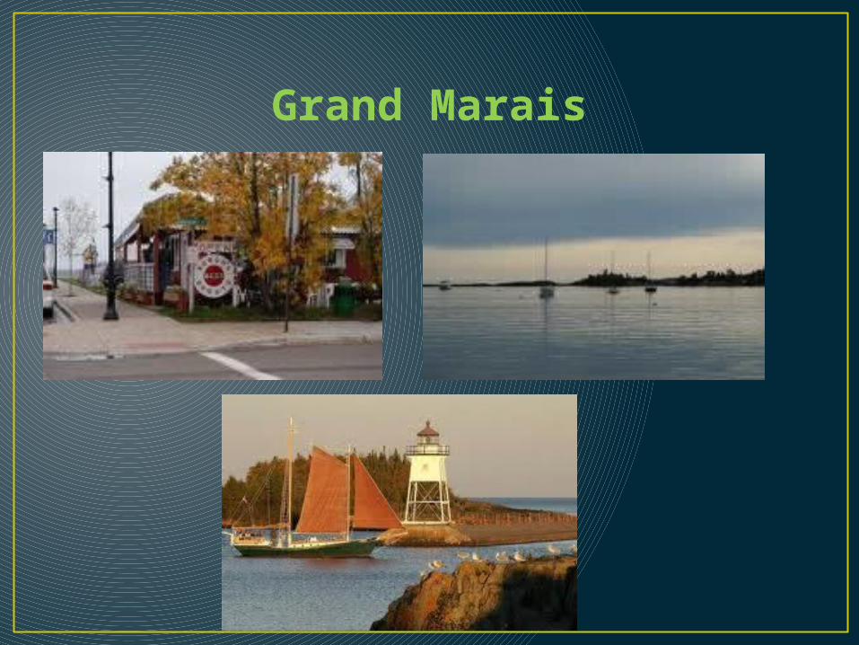
Grand Marais, Page 79
• Grand Marais is located right on Lake Superior
• Exact location is N 47° W 90°
• Attracts a lot of families and vacationers
•
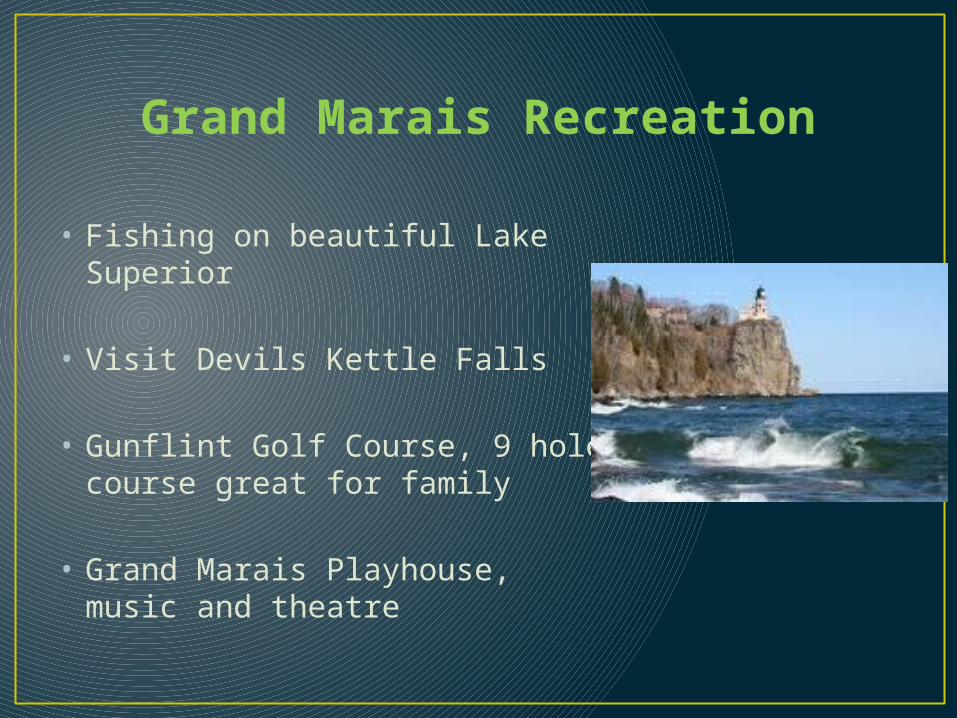
Grand Marais Recreation
• Fishing on beautiful Lake Superior
• Visit Devils Kettle Falls
• Gunflint Golf Course, 9 hole course great for family
• Grand Marais Playhouse, music and theatre

Grand Marais Hiking
• South Lake Trail• Just 30 minutes North of
Grand Marais• The trail is located in the
Boundary Waters Canoe Area Wilderness.
• Trail passes through old growth timber and red and white pine
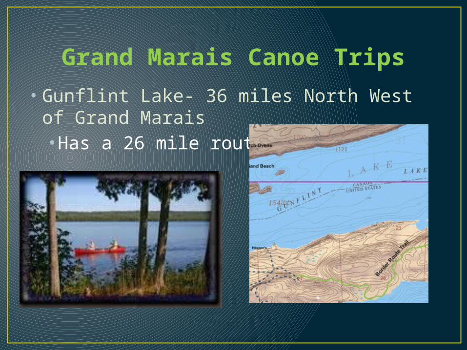
Grand Marais Canoe Trips
• Gunflint Lake- 36 miles North West of Grand Marais•Has a 26 mile route

Grand Marais Canoe Trips Continued
Kawisihi Lake- 36 miles West of Grand Marais• 21 mile route on canoe with level terrain and good
walleye fishing
Sea Gull Lake- 38 miles North West of Grand Marais• 45 mile route at Trails End Campground

Grand Marais Gardens
•Wild Flowers Sanctuary •Maintained by Grand Marais Garden Club
•Located off Gunflint Trail
•Flowers include rhododendron, high bush cranberry, res trillium, hazelnut, and snowberry bushes
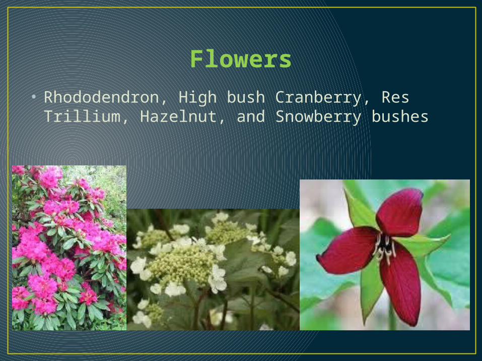
Flowers• Rhododendron, High bush Cranberry, Res Trillium,
Hazelnut, and Snowberry bushes
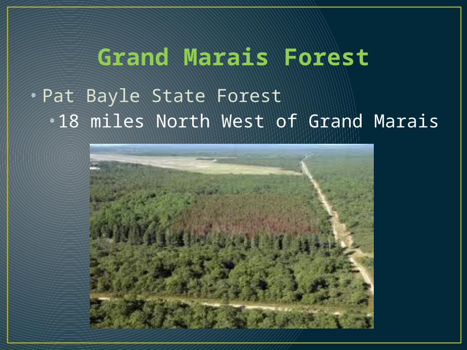
Grand Marais Forest
• Pat Bayle State Forest•18 miles North West of Grand Marais

Grand Marais Unique Natural Features
• Eagle Mountain- 20 miles North West of Grand Marais•Highest point in Minnesota 2,301 feet/ 701 meters•Lies within Superior National Forest with access through Pat Bayle State Forest

Grand Marais Seaplane Bases• Cook County Seaplane Base • Sea plane dock on Devils Track Lake adjacent to landing
strip• Tie downs • Fuel and phone available • Lake elevation 1,450 feet

Grand Marais U.N.F. Continued
• Magnetic Rock•35 miles North West of Grand Marais Building size rock, relic from glacial age.•10 feet wide, 20 feet long, and 30 feet high•Possesses strong magnetic field•Compass demonstrate magnetism of rock but may be damaged by prolonged exposure
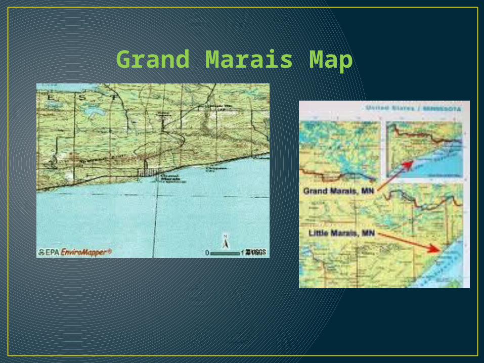
Grand Marais Map
Grand Marais

NORTH WEST MINNESOTA, 71 The Heartland
• Bemidji Parks• Lake Bemidji State Park• 5 miles North East of Bemidji• On north shore of Lake Bemidji• Virgin pine forests and pristine northern bog• Hiking, biking, boating, fishing, and cross-country skiing• Nature trails and visitor center• Swimming beach• 98 campsites

Lake Bemidji State Park

Bemidji Campgrounds• Bemidji KOA Kampground, Bemidji• Offers 100 campsites• Includes the following:
• Electricity• Propane
Water• Dump Station• Store• Rec hall• Laundry

Bemidji KOA Kampground

Bemidji Canoe Trips
• Turtle River •8 miles North of Bemidji•30 mile route•Slow moving river flowing through numerous lakes including Big Rice and Kitchi lakes in Chippewa National Forest
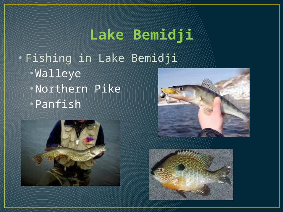
Lake Bemidji
• Fishing in Lake Bemidji•Walleye•Northern Pike•Panfish
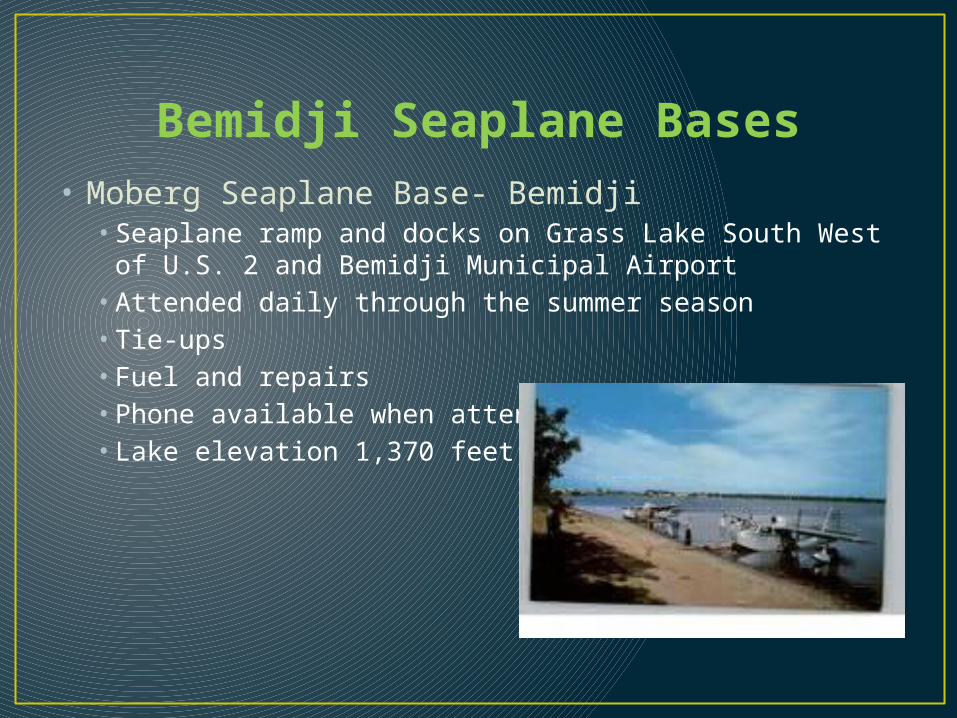
Bemidji Seaplane Bases• Moberg Seaplane Base- Bemidji• Seaplane ramp and docks on Grass Lake South West of
U.S. 2 and Bemidji Municipal Airport• Attended daily through the summer season• Tie-ups• Fuel and repairs• Phone available when attended • Lake elevation 1,370 feet
Bemidji Rivers
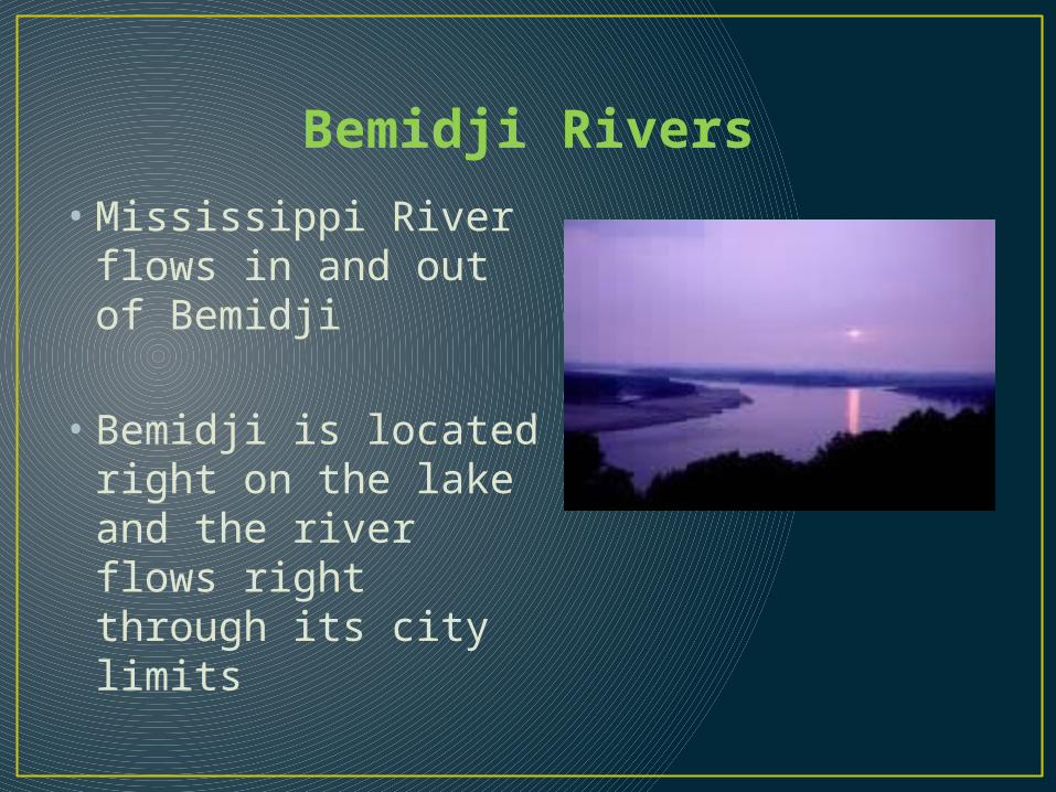
• Mississippi River flows in and out of Bemidji
• Bemidji is located right on the lake and the river flows right through its city limits

Paul Bunyan and Bemidji
• The Pembina Ox Cart Trail • Giant statue of Paul
Bunyan• The Paul Bunyan
Playhouse

Cultural Highlights• International Days• Takes place twice each summer under the auspices of Concordia Language Villages• During these festivals you can learn about Concordia’s language immersion programs • Enjoy the foods and music of the far flung places
Bemidji University
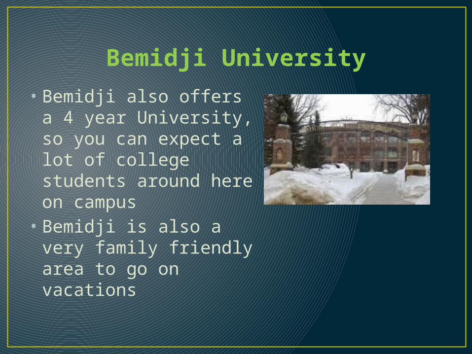
• Bemidji also offers a 4 year University, so you can expect a lot of college students around here on campus
• Bemidji is also a very family friendly area to go on vacations
Mississippi Headwaters State Park
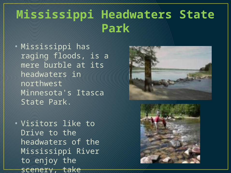
• Mississippi has raging floods, is a mere burble at its headwaters in northwest Minnesota's Itasca State Park.
• Visitors like to Drive to the headwaters of the Mississippi River to enjoy the scenery, take pictures, walk around in the river, and visit the gift shop
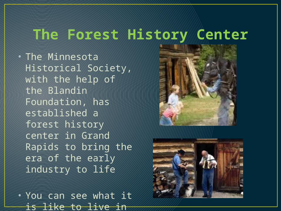
The Forest History Center• The Minnesota
Historical Society, with the help of the Blandin Foundation, has established a forest history center in Grand Rapids to bring the era of the early industry to life
• You can see what it is like to live in the olden days

Rivers In The Heartland
• St. Croix River• Rum River• Mississippi River• Crow Wing River• Ottertail River• Red River

Minnesota’s Heartland • Minnesota’s
Heartland is the largest of the seven “states”
• It has a lot of farms, ranches, forests, hills, rivers, bogs, and lakes
• Its rich in lumbering and railroad history
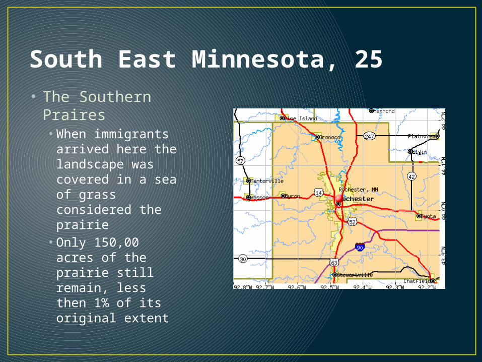
South East Minnesota, 25• The Southern
Praires • When immigrants
arrived here the landscape was covered in a sea of grass considered the prairie • Only 150,00 acres
of the prairie still remain, less then 1% of its original extent

The Rochestor Plateau
• The Big Woods• It no longer exists anymore, except a few isolated areas• In its native woods may have been 6500 sqaure miles in extent•All of its reports were from surveyors around the 1850’s
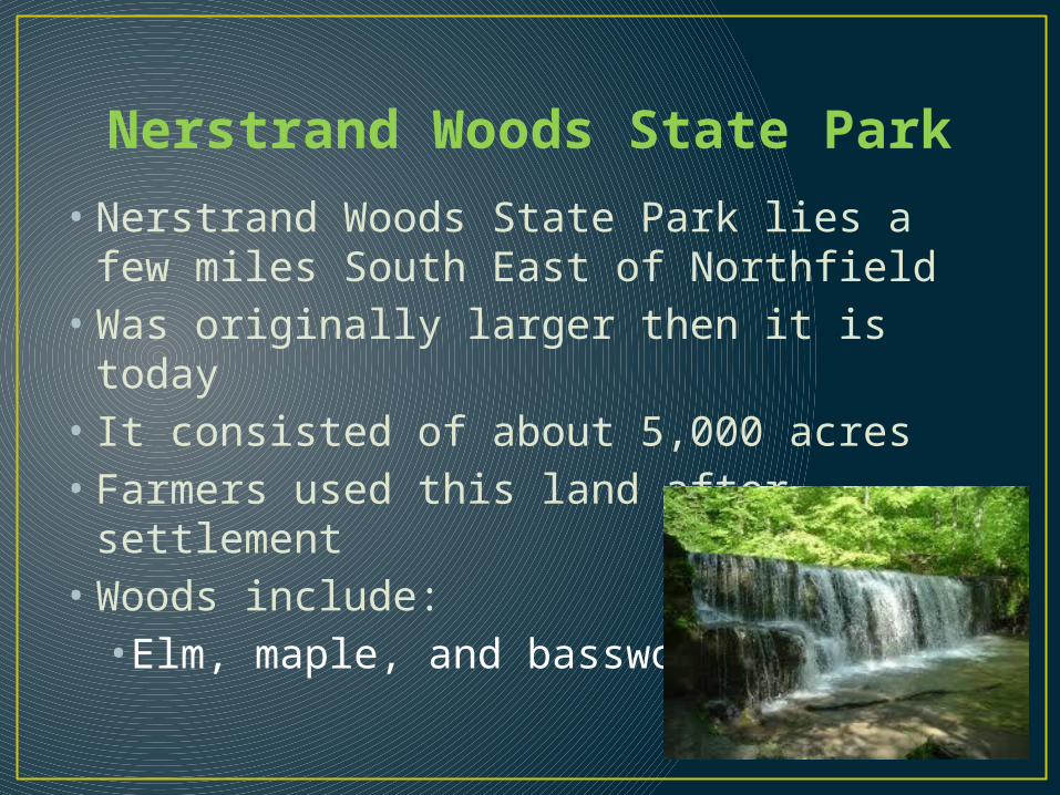
Nerstrand Woods State Park
• Nerstrand Woods State Park lies a few miles South East of Northfield
• Was originally larger then it is today• It consisted of about 5,000 acres • Farmers used this land after settlement • Woods include:•Elm, maple, and basswood
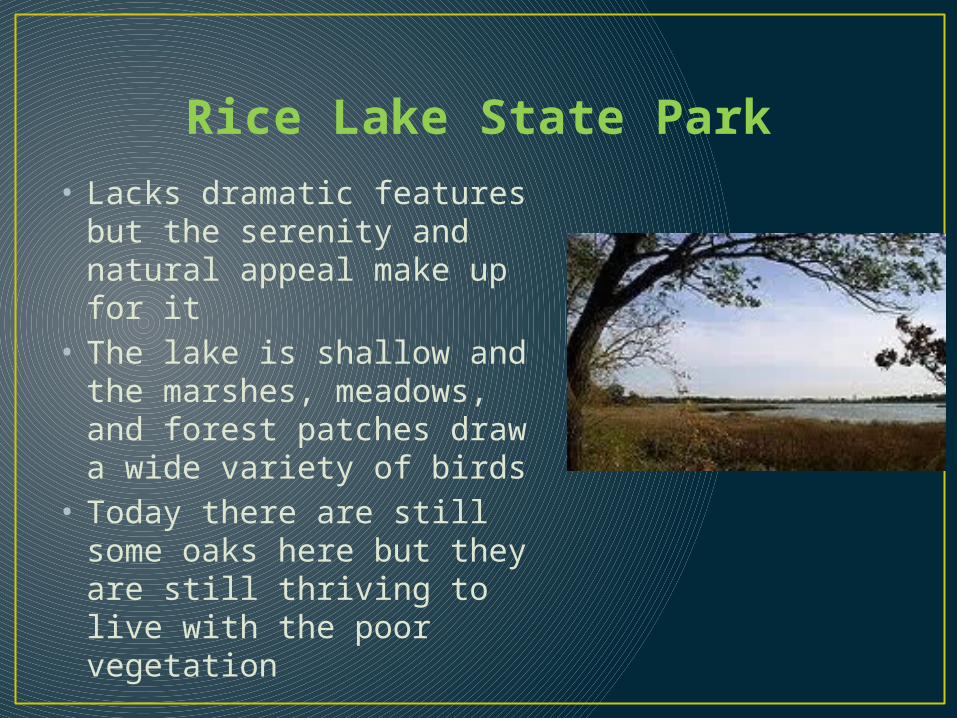
Rice Lake State Park• Lacks dramatic features but
the serenity and natural appeal make up for it
• The lake is shallow and the marshes, meadows, and forest patches draw a wide variety of birds
• Today there are still some oaks here but they are still thriving to live with the poor vegetation

Mystery Cave• The limestone inside
Mystery Cave developed was formed on the bottom of a shallow sea as much as five hundred million years ago
• Rain water over time came through the soil and eventually dissolved the rock and created caves and sinkholes
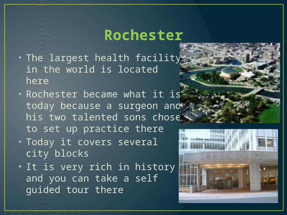
Rochester• The largest health facility in the
world is located here• Rochester became what it is
today because a surgeon and his two talented sons chose to set up practice there
• Today it covers several city blocks
• It is very rich in history and you can take a self guided tour there

Lake Louise State Park• Natural oasis of hardwoods and
old fields and rich farmlands• • In the summer and spring
wildflowers bloom
• Hiking, biking, fishing, and cross-country skiing
• 16 campsites and 3 camper cabins

Rochester Art Center• This is an art
gallary that is family friendly and has changing exhibits of fine arts and crafts from the mid west and other areas of the U.S.

Wildlife• Jay C. Hormel Nature Center-Austin• 278 acres of hardwoods, pine forests, floodplain, and
native prairie cover• Hands on exhibits of area wildlife using snake skins,
antlers, furs, and fungus• Wood chipped hiking trails

Wildlife• Oxbow Park-Bryson• 572 acres include nature center and zollman zoo• Animal shelter provides home for injured or orphaned
animals• 30 native species include American bison, white-tailed
deer, elk, and pocket gopher• Eagles, hawks, and owls • Includes picnic areas and hiking trails
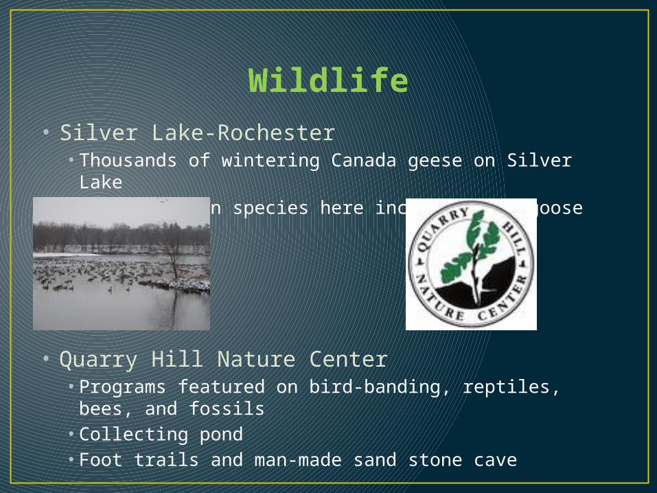
Wildlife• Silver Lake-Rochester• Thousands of wintering Canada geese on Silver Lake• Some uncommon species here include Ross’ goose
• Quarry Hill Nature Center• Programs featured on bird-banding, reptiles, bees, and
fossils• Collecting pond• Foot trails and man-made sand stone cave
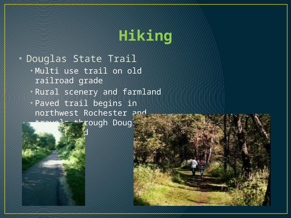
Hiking• Douglas State Trail• Multi use trail on old railroad
grade• Rural scenery and farmland• Paved trail begins in northwest
Rochester and travels through Douglas to Pine Island

Bicycle Routes• Douglas State Trail• Follows old railroad grade between Rochester and Pine
Island• Paved surface with separate path for horseback riders

Golfing • Eastwood-Rochester
• Ramsey-Austin
• Soldiers memorial field-Rochester
• Golfing can be enjoyed by whole family of all ages and a place for adults to come out and relax
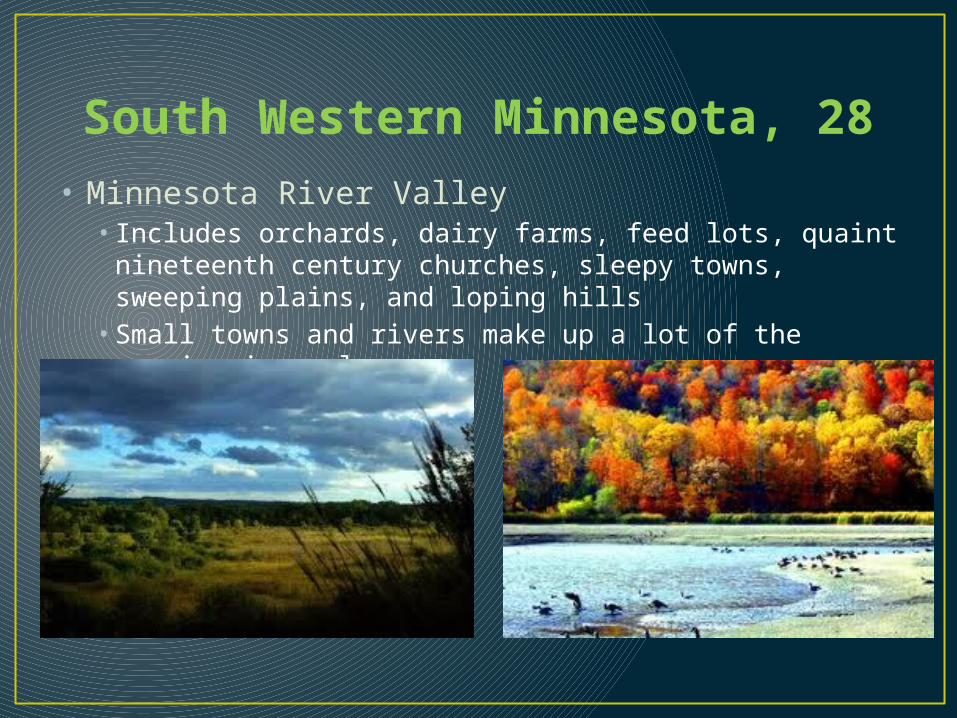
South Western Minnesota, 28• Minnesota River Valley• Includes orchards, dairy farms, feed lots, quaint
nineteenth century churches, sleepy towns, sweeping plains, and loping hills• Small towns and rivers make up a lot of the scenic views
also

Farming and Agriculture• Farms:• Major crops were corn and soybeans• Also sometimes they would produce alfalfa and grains
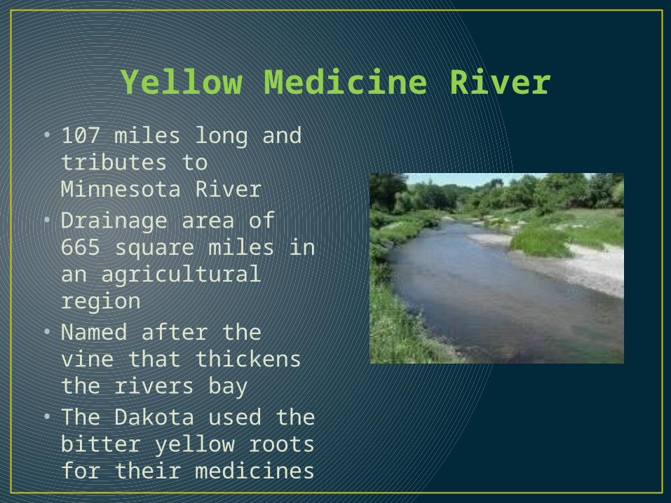
Yellow Medicine River• 107 miles long and
tributes to Minnesota River
• Drainage area of 665 square miles in an agricultural region
• Named after the vine that thickens the rivers bay
• The Dakota used the bitter yellow roots for their medicines

Lac qui Parle Lake
Considered to be the “Lake that speaks”, Refers to the extrodianary din generated by the geese that congegrate there in the spring and fall. You can expect about 200,000 geese typically that arrive during the autumn months.

Bicycle Routes• Prairie Highland and Loop- lake Benton• Rolling hills, farmland, and sweeping westerly winds• 68 mile route

Golfing For Adults & Family
• Tyler golf course in Tyler Minnesota
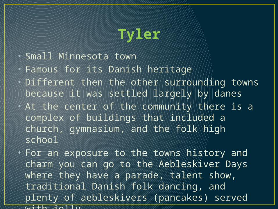
Tyler• Small Minnesota town• Famous for its Danish heritage• Different then the other surrounding towns
because it was settled largely by danes• At the center of the community there is a complex
of buildings that included a church, gymnasium, and the folk high school
• For an exposure to the towns history and charm you can go to the Aebleskiver Days where they have a parade, talent show, traditional Danish folk dancing, and plenty of aebleskivers (pancakes) served with jelly
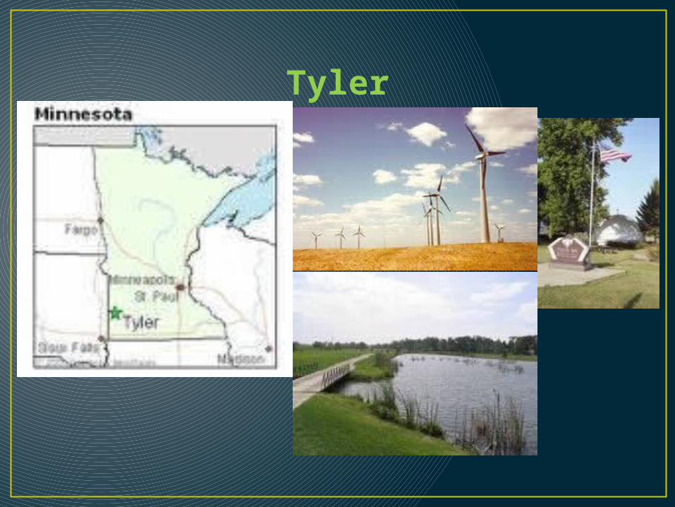
Tyler

Canby• Located on US 75 and Hwy 68 and is the main
entrance to the section• Farming community
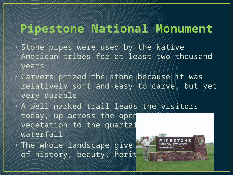
Pipestone National Monument• Stone pipes were used by the Native American
tribes for at least two thousand years• Carvers prized the stone because it was relatively
soft and easy to carve, but yet very durable• A well marked trail leads the visitors today, up
across the open prairie vegetation to the quartzite cliffs and waterfall
• The whole landscape give tourists a sense of history, beauty, heritage, and meaning

Hunting• There is a hunting area called Coon Creek in
Russell just North East of the town Tyler• It has 907 acres for hunting• You can hunt:• White—tailed deer• Rabbits• Waterfowl• Partridge• Pheasant

Ivanhoe• Lincoln County• Total city area is 0.9 square miles• Polish heritage• Very small town with not much to do

Minneota• Yellow Medicine River passes through• City size 1.4 square miles• Very small town and I couldn’t find any attractions
or things to do in Minneota

Lake Benton• Looks to be the biggest lake in this South East
section• Sits just North of Prairie Highland Loop Bike Route• 2,875 acre and is approximately seven miles long• There were a total of six inlets to Lake Benton and
the major outlet is Coon Creek• Only gets about 9 feet deep
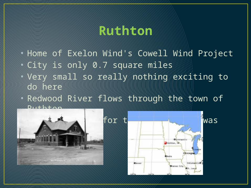
Ruthton
• Home of Exelon Wind's Cowell Wind Project• City is only 0.7 square miles• Very small so really nothing exciting to do here• Redwood River flows through the town of Ruthton• The population for the 2010 census was only 241
people
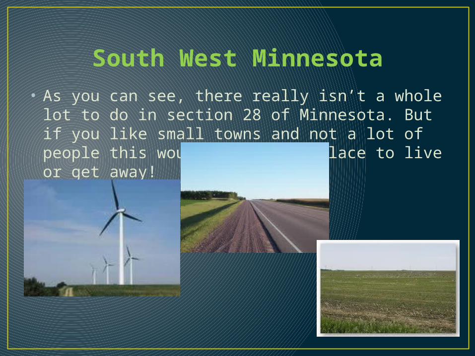
South West Minnesota• As you can see, there really isn’t a whole lot to do
in section 28 of Minnesota. But if you like small towns and not a lot of people this would be a great place to live or get away!
Sources• Google images• Minnesota Atlas and Gazetteer• The seven states of Minnesota, Toren• Individual town websites from Google• Wikepedia