Building a Global Drylands Information System: A Collaborative Approach IALC Conference and Workshop...
26
Building a Global Drylands Information System: A Collaborative Approach IALC Conference and Workshop Assessing Capabilities of Soil and Water Resources in Drylands: The Role of Information Retrieval and Dissemination Technologies October 20-25, 2002
-
date post
21-Dec-2015 -
Category
Documents
-
view
214 -
download
0
Transcript of Building a Global Drylands Information System: A Collaborative Approach IALC Conference and Workshop...

Building a Global Drylands Information System:
A Collaborative Approach
IALC Conference and Workshop
Assessing Capabilities of Soil and Water Resources in Drylands: The Role of Information
Retrieval and Dissemination Technologies
October 20-25, 2002

The Beginnings of Formal Arid Lands Research
• University of Arizona– Interdisciplinary tradition dating from 1891– Interests in unique Arizona environment
• Carnegie Desert Botanical Laboratory, 1903• UNESCO, Arid Zone Advisory Committee
(1950s)• American Association for the Advancement of
Science (1950s)– Series of meetings held in the Southwest

Arid Lands Research at the University of Arizona
• The Advisory Committee for Arid
Lands Research, 1957• Rockefeller Grant, 1959• Army Research Office Grant, 1964
– To conduct an inventory of the world’s desert environments
• Institute of Arid Lands Research became the Office of Arid Lands Studies, 1964

Office of Arid Lands Studies
• Divisions and Programs– Natural Products Center
• economic botany and health in arid environments
– Arizona Remote Sensing Center• remote sensing & GIS applications
– Desert Research Unit • water conservation and reuse
– Economic Development Program– Arid Lands Information Center

Arid Lands Information Center
• Mission: To utilize the most cost-effective and universal means to provide access to information on the world’s arid regions
• Specialized information services – Document collection– Publications– Databases– Technical assistance– Web site development
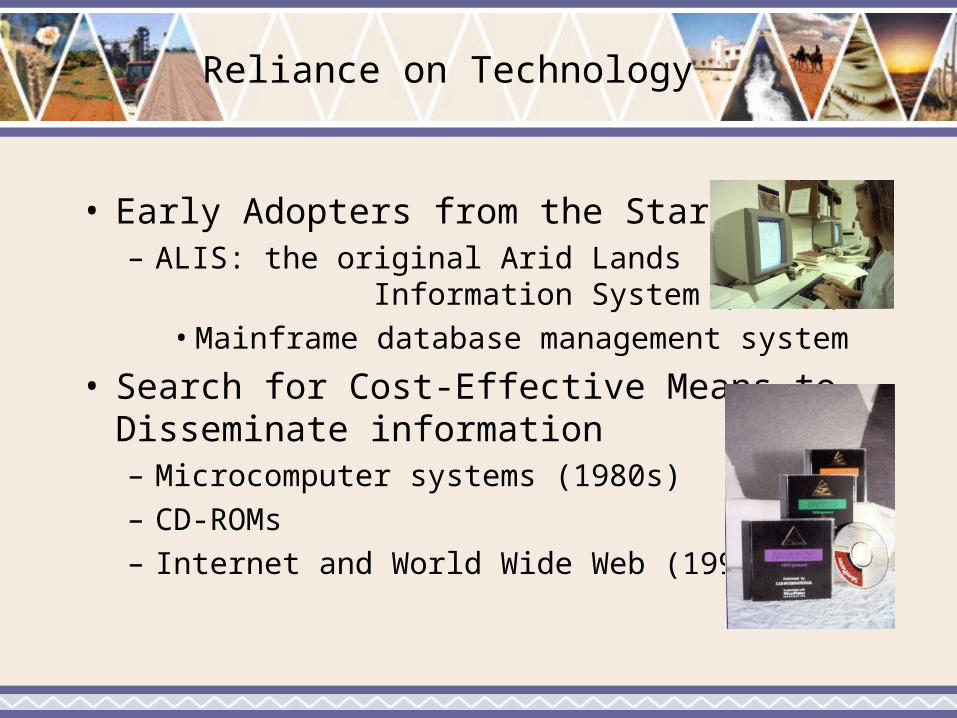
Reliance on Technology
• Early Adopters from the Start– ALIS: the original Arid Lands
Information System (1970s)• Mainframe database management system
• Search for Cost-Effective Means to Disseminate information– Microcomputer systems (1980s)– CD-ROMs– Internet and World Wide Web (1990s)
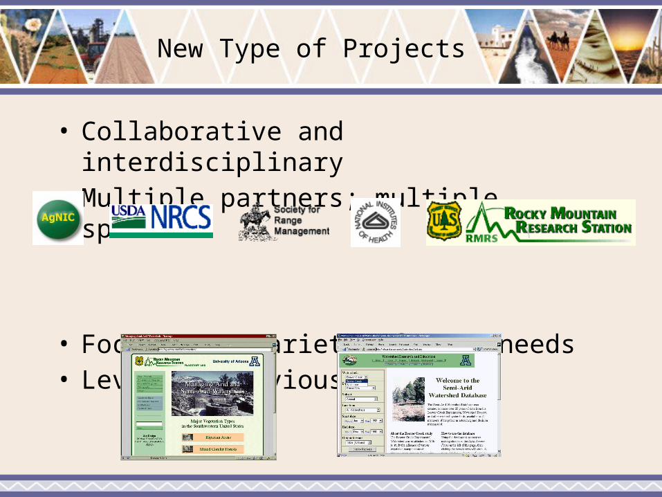
New Type of Projects
• Collaborative and interdisciplinary• Multiple partners; multiple sponsors
• Focus on a variety of user needs• Leverage previous inputs

The University of Arizona AgNIC Project and Some of its Offspring
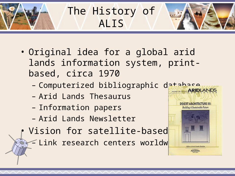
The History of ALIS
• Original idea for a global arid lands information system, print-based, circa 1970– Computerized bibliographic database– Arid Lands Thesaurus– Information papers– Arid Lands Newsletter
• Vision for satellite-based system– Link research centers worldwide
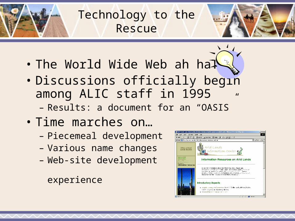
Technology to the Rescue
• The World Wide Web ah ha!• Discussions officially begin among ALIC
staff in 1995– Results: a document for an “OASIS”
• Time marches on…– Piecemeal development– Various name changes– Web-site development
experience
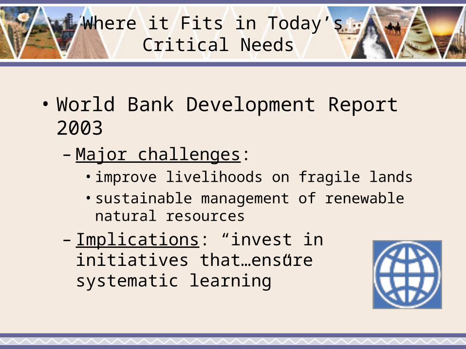
Where it Fits in Today’s Critical Needs
• World Bank Development Report 2003– Major challenges:
• improve livelihoods on fragile lands• sustainable management of renewable natural
resources
– Implications: “invest in initiatives that…ensure systematic learning”

More Critical Needs
• National Research Council: Grand Challenges in Environmental Sciences, 2001– Biological diversity and ecosystem functioning– Land-use dynamics– Climate variability
• Recommendations: – Establish research centers; support
interdisciplinary research; make science useful to decision-makers, managers, and the public
– International data harmonization
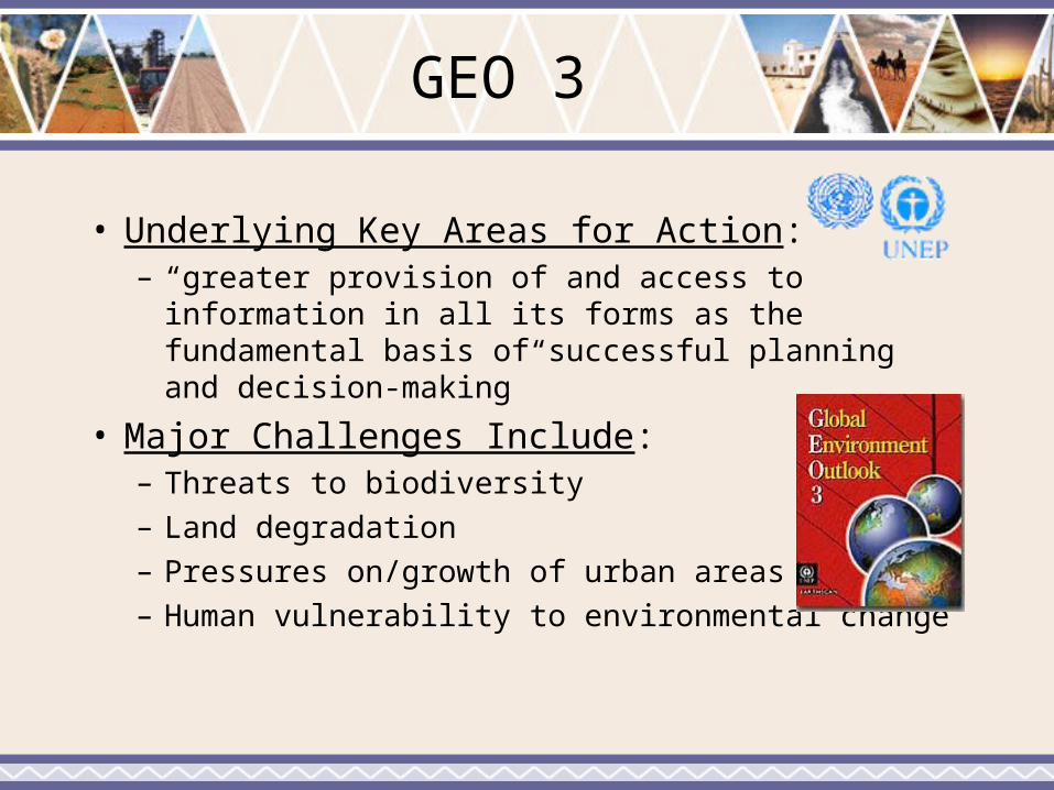
GEO 3
• Underlying Key Areas for Action: – “greater provision of and access to information in
all its forms as the fundamental basis of successful planning and decision-making”
• Major Challenges Include: – Threats to biodiversity– Land degradation– Pressures on/growth of urban areas– Human vulnerability to environmental change

Our Current Vision
• Make Science Practical – Integrate science, data, applications,
and location specific information and resources to facilitate learning and decision-making
– Provide interpretive information and resources for multiple levels and types of users
– Identify and work to fill knowledge gaps• Build Services around Collaborations, Previous
Inputs, Technology, and Established Standards

A Prototype Home Page for the Portal

Combining Science/Research, Data/Tools, & Applications

Geo-Spatial Access

Sample Desert-Specific Module
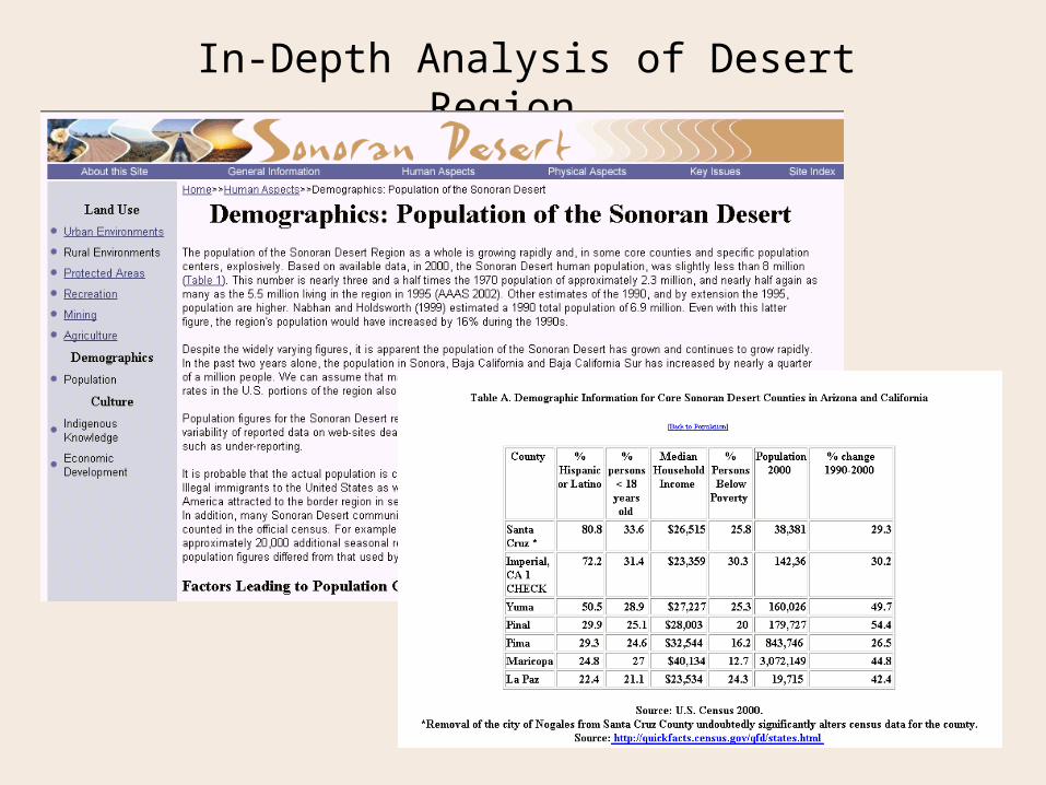
In-Depth Analysis of Desert Region
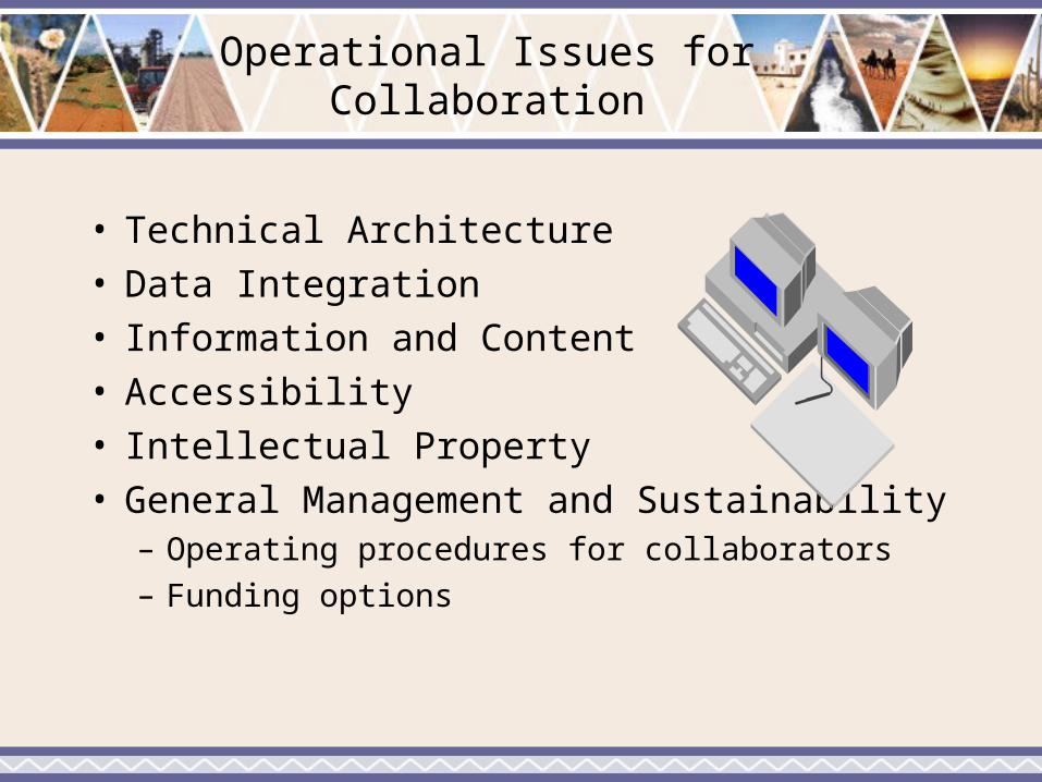
Operational Issues for Collaboration
• Technical Architecture• Data Integration• Information and Content• Accessibility• Intellectual Property• General Management and Sustainability
– Operating procedures for collaborators
– Funding options

Research Areas
• Acquisition and conversion of data and metadata– Compatibility issues
• Identification and collection of data to fill information gaps
• Analysis and synthesis of data and information– Models, comparisons, interpretations
• Dissemination of data and metadata– User interfaces– Visualizations, simulations, GIS applications

Credits
– Barbara Hutchinson, Director– Carla Casler, Assistant Director– Michael Haseltine, Web Designer & Systems
Support – Katherine Waser, Editor & Web Site Manager– Heather Severson, Web Designer– Anne Thwaits, Web Graphics Designer
– Bill Becker, Student Library Assistant
Discussion Questions
• Session One:– Who are the primary user groups for a drylands
information system and what types of information, data, and resources are needed by each potential user group?
– What organizations should be involved in developing such a system and what specific resources do these organizations bring to such a system?

Discussion Questions
• Session Two– What are the benefits of collaboration and are
there some tasks where collaboration is not useful?
– What are the barriers to collaboration?– What are the technical issues that should be
addressed?

Discussion Questions
• Session Three– What is needed to make such
collaborations happen?
– What are possible funding options for developing a collaborative drylands information system?
– What are the next steps?