BIM/GIS Convergence within a 3D Model Utilizing LiDAR Data seminar series... · BIM/GIS Convergence...
22
Scott Stocking, GISP Facilities Services Department BIM/GIS Convergence within a 3D Model Utilizing LiDAR Data
-
Upload
vuongtuyen -
Category
Documents
-
view
238 -
download
4
Transcript of BIM/GIS Convergence within a 3D Model Utilizing LiDAR Data seminar series... · BIM/GIS Convergence...
Scott Stocking, GISP
Facilities Services Department
BIM/GIS Convergence within a 3D Model
Utilizing LiDAR Data
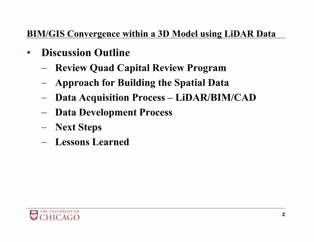
BIM/GIS Convergence within a 3D Model using LiDAR Data
• Discussion Outline
− Review Quad Capital Review Program
− Approach for Building the Spatial Data
− Data Acquisition Process – LiDAR/BIM/CAD
− Data Development Process
− Next Steps
− Lessons Learned
2
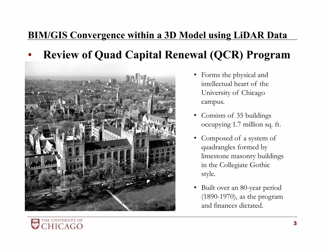
BIM/GIS Convergence within a 3D Model using LiDAR Data
• Review of Quad Capital Renewal (QCR) Program
3
• Forms the physical and
intellectual heart of the
University of Chicago
campus.
• Consists of 35 buildings
occupying 1.7 million sq. ft.
• Composed of a system of
quadrangles formed by
limestone masonry buildings
in the Collegiate Gothic
style.
• Built over an 80-year period
(1890-1970), as the program
and finances dictated.
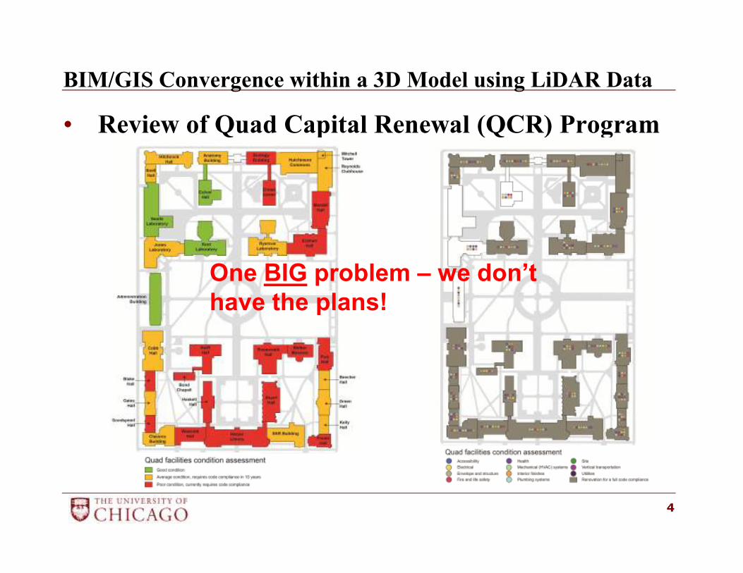
BIM/GIS Convergence within a 3D Model using LiDAR Data
• Review of Quad Capital Renewal (QCR) Program
4
One BIG problem – we don’t
have the plans!
BIM/GIS Convergence within a 3D Model using LiDAR Data
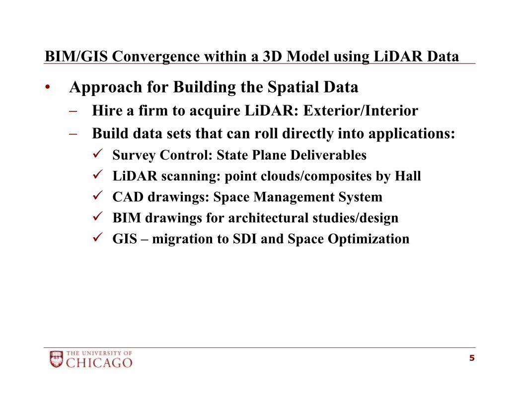
• Approach for Building the Spatial Data
− Hire a firm to acquire LiDAR: Exterior/Interior
− Build data sets that can roll directly into applications:
� Survey Control: State Plane Deliverables
� LiDAR scanning: point clouds/composites by Hall
� CAD drawings: Space Management System
� BIM drawings for architectural studies/design
� GIS – migration to SDI and Space Optimization
5
BIM/GIS Convergence within a 3D Model using LiDAR Data
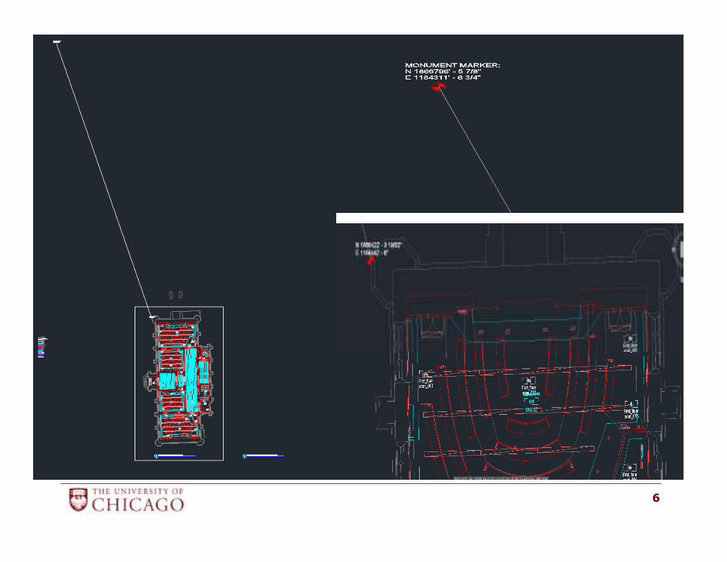
• Data Acquisition Process – LiDAR/BIM/CAD
− First Order Control point – middle of the Quad
6
BIM/GIS Convergence within a 3D Model using LiDAR Data
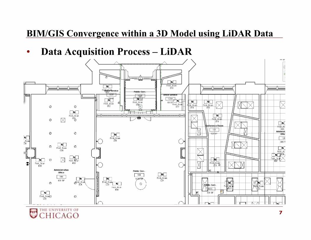
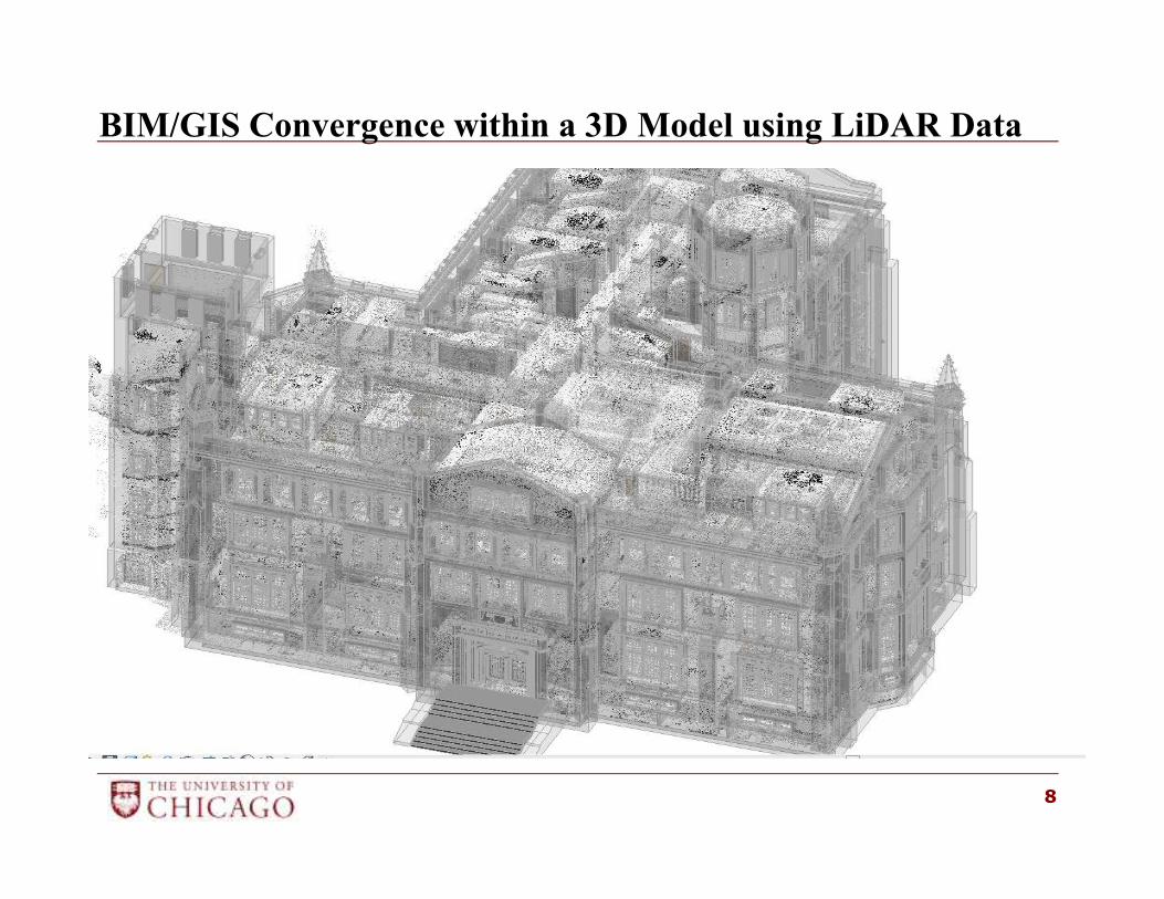
• Data Acquisition Process – LiDAR
7
BIM/GIS Convergence within a 3D Model using LiDAR Data
8
BIM/GIS Convergence within a 3D Model using LiDAR Data
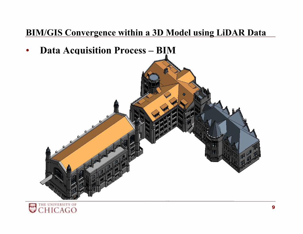
• Data Acquisition Process – BIM
9
BIM/GIS Convergence within a 3D Model using LiDAR Data
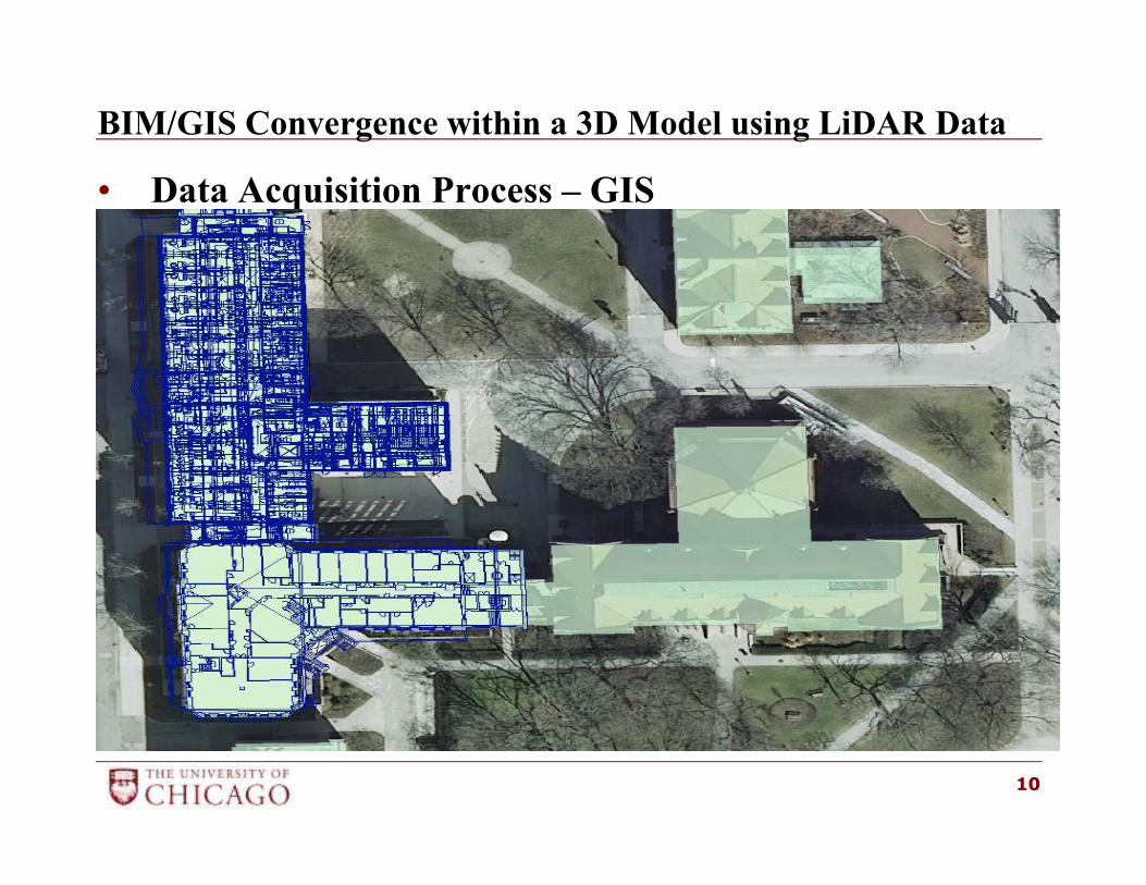
• Data Acquisition Process – GIS
10
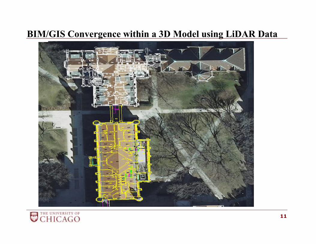
BIM/GIS Convergence within a 3D Model using LiDAR Data
11
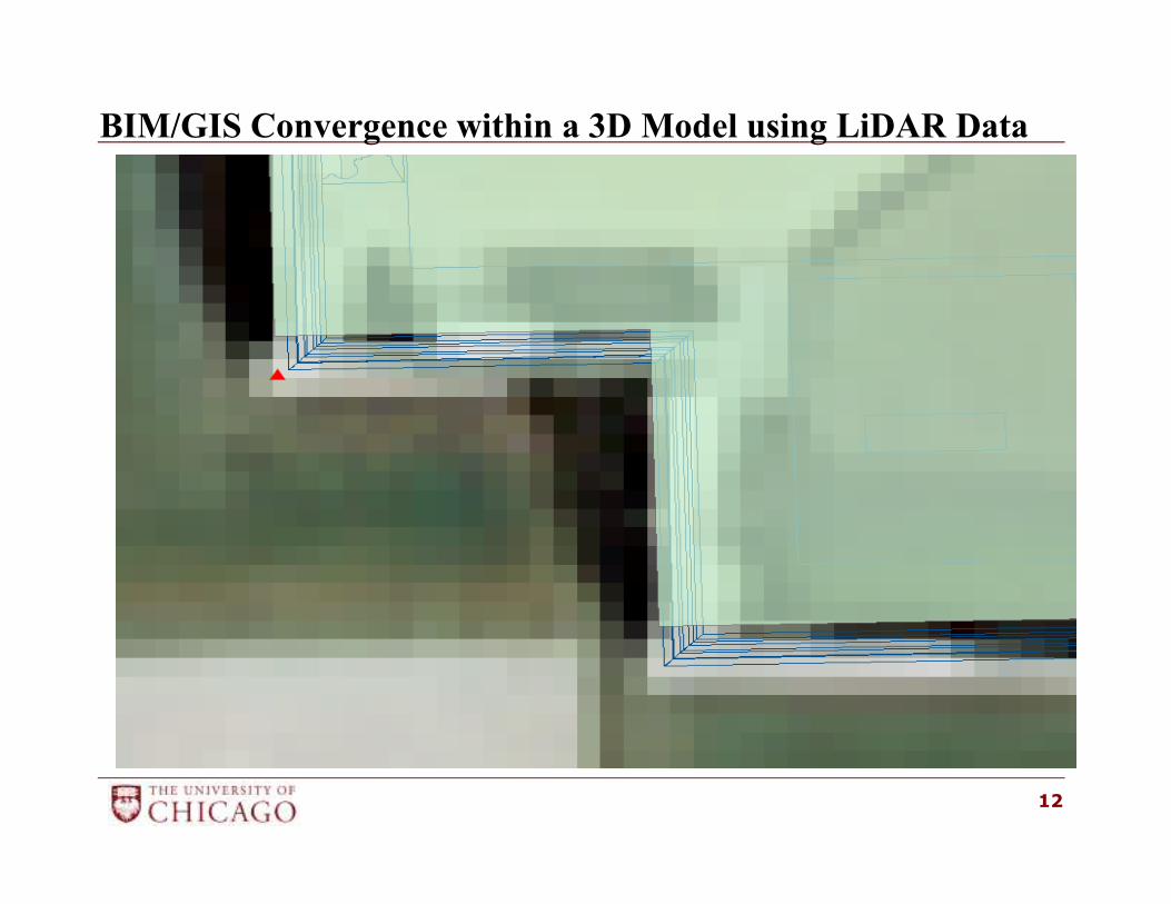
BIM/GIS Convergence within a 3D Model using LiDAR Data
12
BIM/GIS Convergence within a 3D Model using LiDAR Data
• Geodatabase Import – CAD drawings:
� CAD Drawings are the same used in SIMS
� No Georeferencing required
� Select Feature Classes by CAD layers
� Add attributes for Feature-ID, Elevation data
13
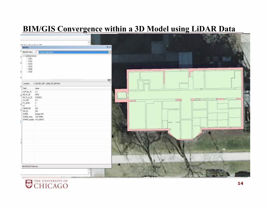
BIM/GIS Convergence within a 3D Model using LiDAR Data
14
BIM/GIS Convergence within a 3D Model using LiDAR Data
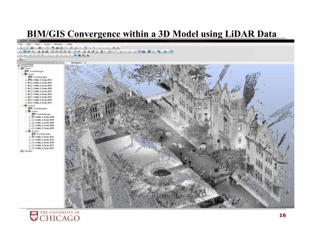
• Develop a Point Cloud Repository/Viewer:
� FARO SCENE Viewer
� Viewer set for use by low end computers
� Ability to find and view clouds easily
� Sharing Point Clouds with Collaborators
� Acquire assets not included in the BIM models
� Help verify survey data or project specifications
15
BIM/GIS Convergence within a 3D Model using LiDAR Data
16
BIM/GIS Convergence within a 3D Model using LiDAR Data
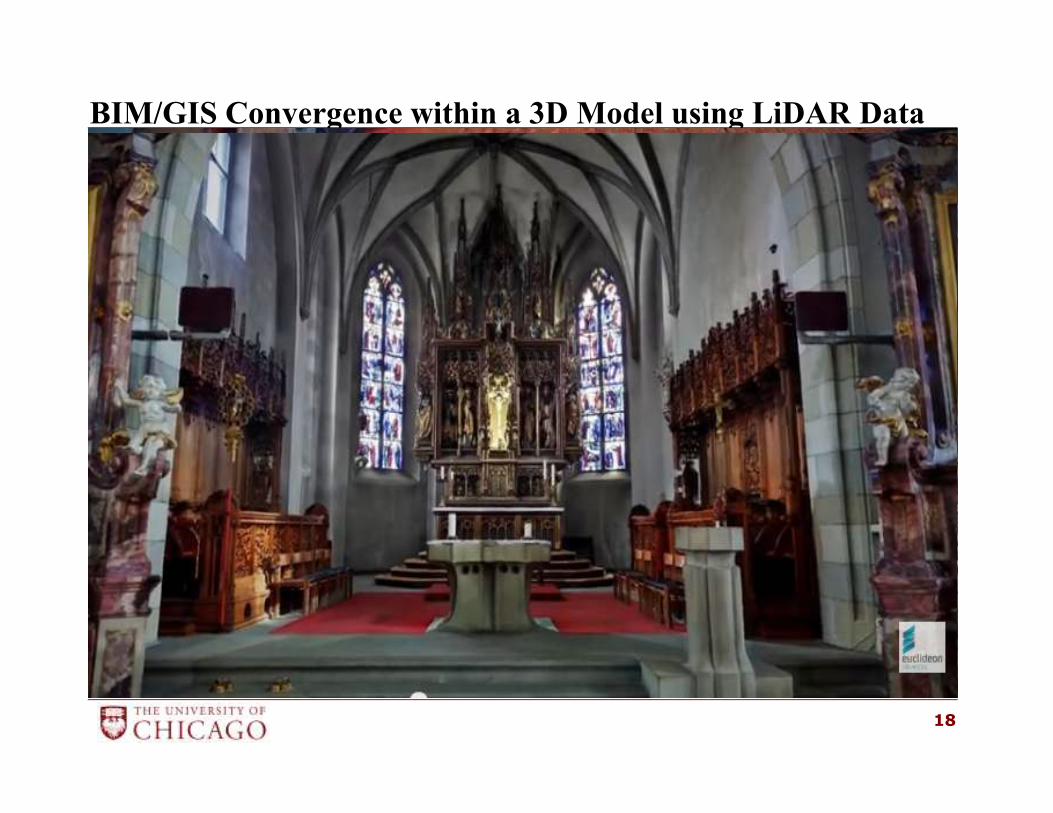
• Euclideon Unlimited Detail (UD) technology
� View Point Clouds at FULL resolution
� UD plug-in within Applications, Web
� Provide materials/textures in Virtual Campus
Currently Testing Euclideon UD technology with
existing Point Cloud data
17
BIM/GIS Convergence within a 3D Model using LiDAR Data
18
BIM/GIS Convergence within a 3D Model using LiDAR Data
• Next Steps
− Standard point cloud format – LAS/RCP ????
− Or establish Euclideon UD technology
− Move new CAD Floor Plans into Archibus
− Migrate the GIS data into SDI Central Repository:
CityGML – GIS and BIM Models
− Establish a Space Optimization Program – using
Geodatabase of Buildings
19
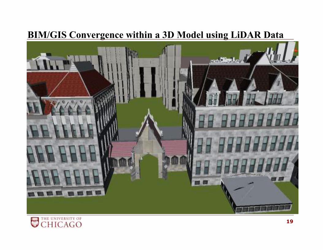
BIM/GIS Convergence within a 3D Model using LiDAR Data
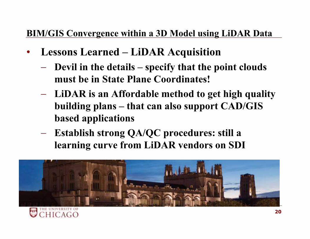
• Lessons Learned – LiDAR Acquisition
− Devil in the details – specify that the point clouds
must be in State Plane Coordinates!
− LiDAR is an Affordable method to get high quality
building plans – that can also support CAD/GIS
based applications
− Establish strong QA/QC procedures: still a
learning curve from LiDAR vendors on SDI
20
BIM/GIS Convergence within a 3D Model using LiDAR Data
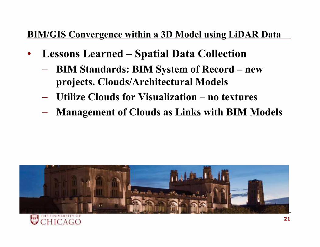
• Lessons Learned – Spatial Data Collection
− BIM Standards: BIM System of Record – new
projects. Clouds/Architectural Models
− Utilize Clouds for Visualization – no textures
− Management of Clouds as Links with BIM Models
21
BIM/GIS Convergence within a 3D Model using LiDAR Data
22
Thank You!
Scott Stocking, GISP
University of Chicago
Facilities Services Department
5235 South Harper Court, Suite 1000
Chicago, Illinois 606015
773.834.0523