Bayou Dupont Sediment Delivery – Marsh Creation #3 (BA-164) Catherine Ricks, P.E. Engineering May...
9
Bayou Dupont Sediment Delivery – Marsh Creation #3 (BA-164) Catherine Ricks, P.E. Engineering May 6, 2014 committed to our coast committed to our coast
-
Upload
arleen-nelson -
Category
Documents
-
view
214 -
download
1
Transcript of Bayou Dupont Sediment Delivery – Marsh Creation #3 (BA-164) Catherine Ricks, P.E. Engineering May...
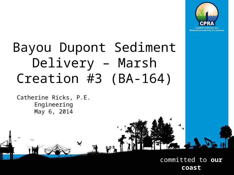
Bayou Dupont Sediment Delivery – Marsh Creation #3
(BA-164)Catherine Ricks, P.E.
EngineeringMay 6, 2014
committed to our coastcommitted to our coast
Coastal Protection and Restoration Authority of Louisiana
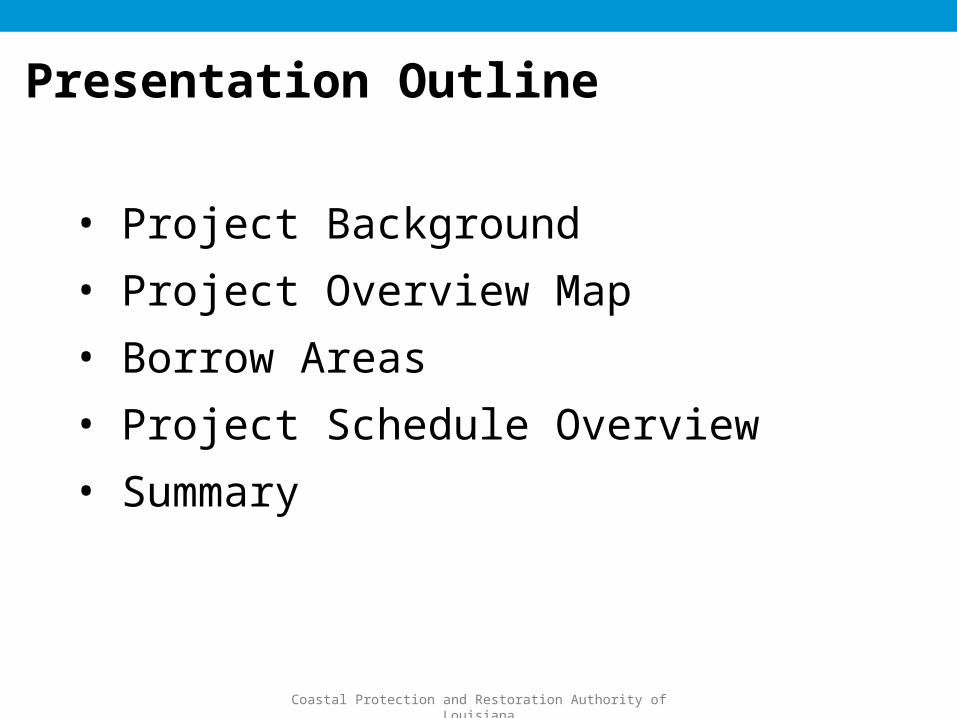
Presentation Outline
• Project Background• Project Overview Map• Borrow Areas• Project Schedule Overview• Summary
Coastal Protection and Restoration Authority of Louisiana
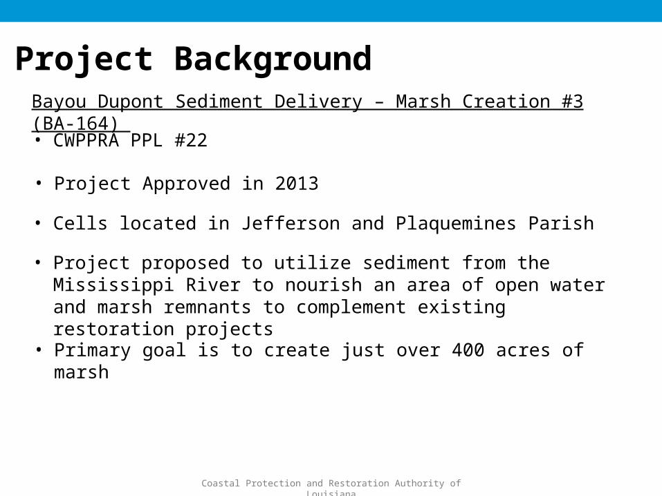
Project BackgroundBayou Dupont Sediment Delivery – Marsh Creation #3 (BA-164)
• CWPPRA PPL #22
• Project Approved in 2013
• Cells located in Jefferson and Plaquemines Parish
• Project proposed to utilize sediment from the Mississippi River to nourish an area of open water and marsh remnants to complement existing restoration projects
• Primary goal is to create just over 400 acres of marsh
Coastal Protection and Restoration Authority of Louisiana
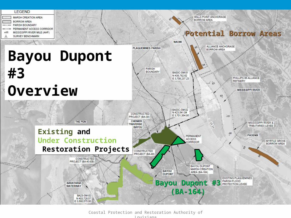
Bayou Dupont #3Overview
Potential Borrow AreasPotential Borrow Areas
Bayou Dupont #3(BA-164)
Bayou Dupont #3(BA-164)
Existing and Under Construction Restoration Projects
Existing and Under Construction Restoration Projects
Coastal Protection and Restoration Authority of Louisiana
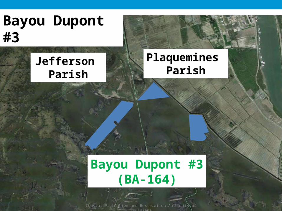
Bayou Dupont #3
Bayou Dupont #3(BA-164)
Bayou Dupont #3(BA-164)
Plaquemines Parish
Plaquemines Parish
Jefferson Parish
Jefferson Parish

Coastal Protection and Restoration Authority of Louisiana
Wills Point
• 2.38 MCY (based on BA-48/ Long Distance design surveys)
• Cut depths to -90’ NAVD88• 45.2 acres
Project Features – Mississippi River Borrow Areas
Alliance Anchorage
• 7.1 MCY (based on BA-48/ Long Distance design surveys)
• Cut depths to -90’ NAVD88• 144.3 acres
Myrtle Grove• Potential 7.9 MCY to -90’ NAVD88• 168 acres

Coastal Protection and Restoration Authority of Louisiana
• Tasks Completed:• Borrow Area Surveys
• Wills Point – Bathy, mag and geotech: 2012; Cultural Resource: 2011• Alliance Anchorage – Bathy: 2011; Geotech: 2012• Myrtle Grove – Bathy, mag and Cultural resource: 2012
• Fill Area Bathymetric and Topographic Surveys – March and April 2014• Applied for Geotechnical Permit – February 2014
• Received Geotechnical CUP – March 2014• Waiting on COE Geotechnical Permit
Project Schedule
• Future Tasks:• Geotechnical Investigation and Final Report (Fill Area) – July 2014• Apply For Coastal Use Permit (State and COE) – September 2014• Engineering and Design – October 2014• Apply for LDWF Fill Material Permit – October 2014
Coastal Protection and Restoration Authority of Louisiana
• Area of Fill: 410 acres • E&D in process• Will Compete for Construction Funding in
Winter 2014
Project Summary

Coastal Protection and Restoration Authority of Louisiana
QUESTIONS