Alison Dickson MAGIC Project Manager Rural Development Service GI Unit...
16
Alison Dickson MAGIC Project Manager Rural Development Service GI Unit [email protected] or [email protected]
-
Upload
linette-stevens -
Category
Documents
-
view
227 -
download
2
Transcript of Alison Dickson MAGIC Project Manager Rural Development Service GI Unit...

Alison DicksonMAGIC Project Manager
Rural Development Service GI Unit

MAGIC
• What is MAGIC?• How did MAGIC develop?• What datasets does MAGIC hold?• What are the plans for the
future?

What is MAGIC?
• Multi-Agency…– Partnership Project
• …Geographic Information…– All data has spatial element
• …for the Countryside– All partners concerned with
rural policy and services

MAGIC Partners• Department for Environment, Food and
Rural Affairs (DEFRA)• Department for Communities and Local
Government (DCLG) • Countryside Agency – Landscape,
Access & Recreation• English Heritage• English Nature• Environment Agency• Forestry Commission• Rural Development Service

Drivers for MAGIC
• Common interest in rural policy and service
• Drive for evidence-based policy• Need for joined-up, definitive and
consistent information• No established method of data
exchange
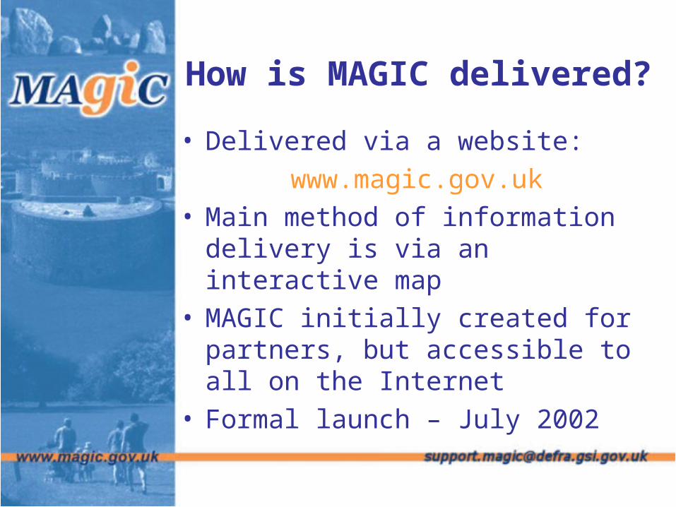
How is MAGIC delivered?
• Delivered via a website:www.magic.gov.uk
• Main method of information delivery is via an interactive map
• MAGIC initially created for partners, but accessible to all on the Internet
• Formal launch – July 2002


Use of MAGIC
• Use has steadily risen over time– Average of 350 daily user sessions
following launch in 2002– Risen to an average of 2500 daily
user sessions for 2004– In April 2006, average of 3,402 daily
user sessions and more than 24,000 maps are produced each day
• Average 250 dataset downloads per month

Data Collation
• Data from Partners + other organisations
• Metadata required for all datasets
• MAGIC Data Standard• Data capture exercise including:
– National Parks– Scheduled Monuments– Local Nature Reserves

MAGIC Data
• Originally England only, but now some data for marine, Scotland & Wales
• Data includes– Designations – Environmental interests– Land Classification– Coastal & Marine Resource
Atlas

So what next?
• Expansion of scope continues • Development of SPIRE• Review of technology
– Conform with e-GIF and OpenGIS
• Continue to explore new links with other organisations and facilities