Air Robotics Multispectral Sensing (2010)
14
-
Upload
wv-assocation-of-geospatial-professionals -
Category
Documents
-
view
471 -
download
0
Transcript of Air Robotics Multispectral Sensing (2010)


Enhancing traditional mapping and introduce aerial chemical detection
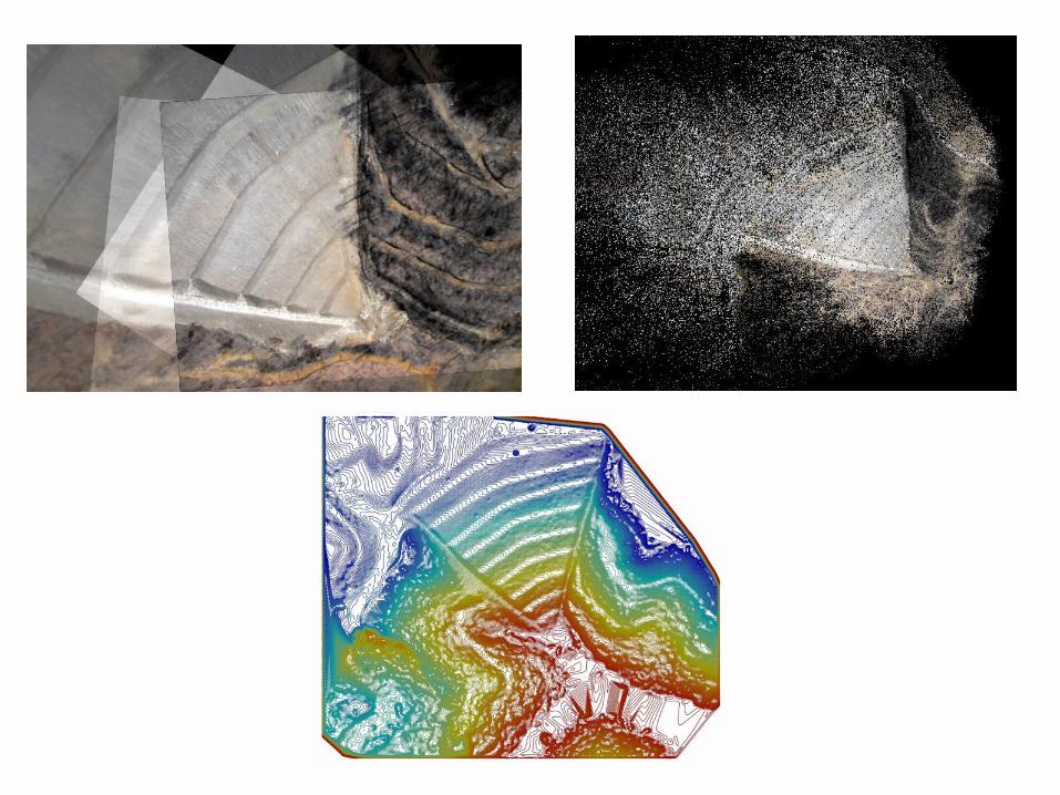
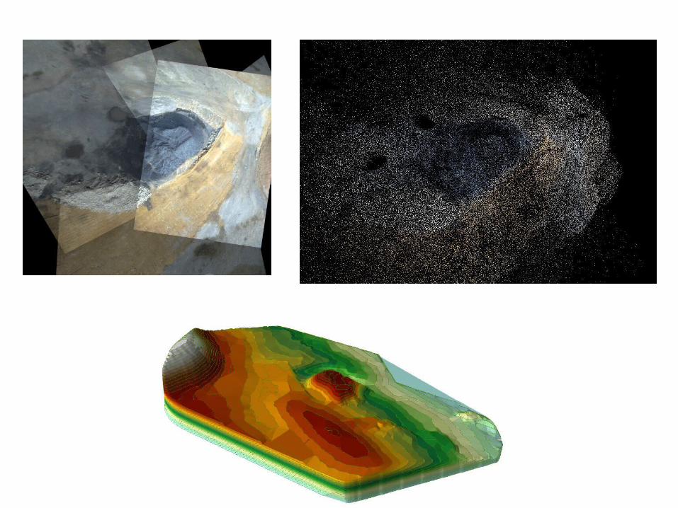
• Aerial digital elevation mapping and 3D modeling
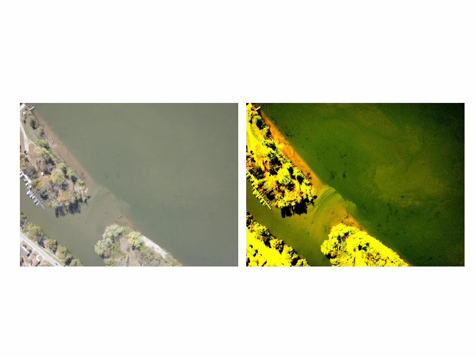
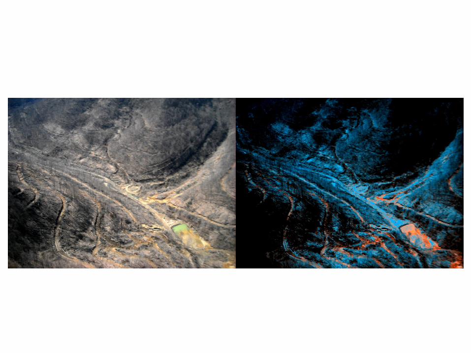
• Aerial multispectral analysis of chemical contaminates (water and land)

Digital Elevation Models
Multi-Spectral Chemical Imaging


Multi-Spectral Environmental Imaging